 West 1784 map NY10


|

|
|
|
gazetteer links places may or may not be labelled on the map |
||

|
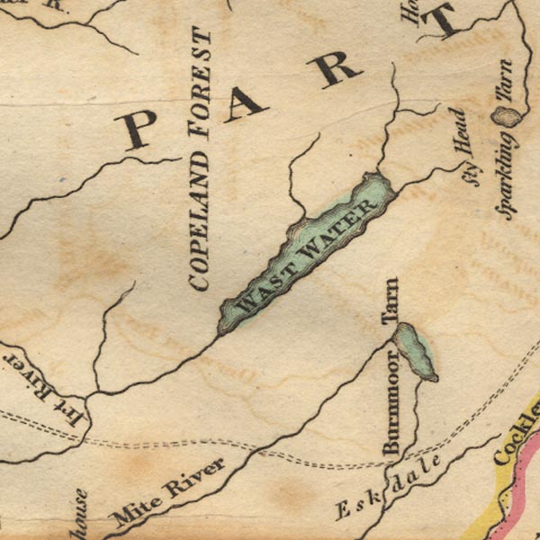
-- Burnmoor Tarn -- "Burnmoor tarn" |
|
|
|
-- Copeland Forest -- "COPELAND FOREST" |
|
|
|
-- Irt, River |
|
|
|
-- Lingmell Beck |
|
|
|
-- Mosedale Beck |
|
|
|
-- Nether Beck |
|
|
|
-- Wast Water -- "WAST WATER" |
|
|
|
-- Whillan Beck |
|
|
civil parishes The area roughly includes parts of parishes:- Gosforth Eskdale Ennerdale and Kinniside Nether Wasdale Irton with Santon Muncaster |
||
|
|
||
|
|
Lakes Guides menu. | |