Old Cumbria Gazetteer
 |
 |
|
||
| Mosedale Beck (4) | ||||
| runs into:- |  Lingmell Beck Lingmell Beck |
|||
|
|
||||
| Mosedale Beck | ||||
| civil parish:- | Nether Wasdale (formerly Cumberland) | |||
| county:- | Cumbria | |||
| locality type:- | river | |||
| 1Km square:- | NY1808 (etc) | |||
| 10Km square:- | NY10 | |||
|
|
||||
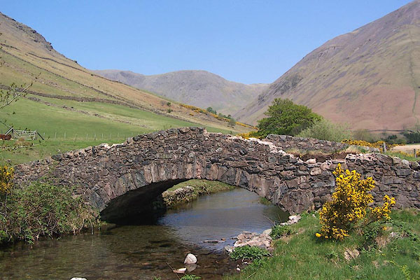
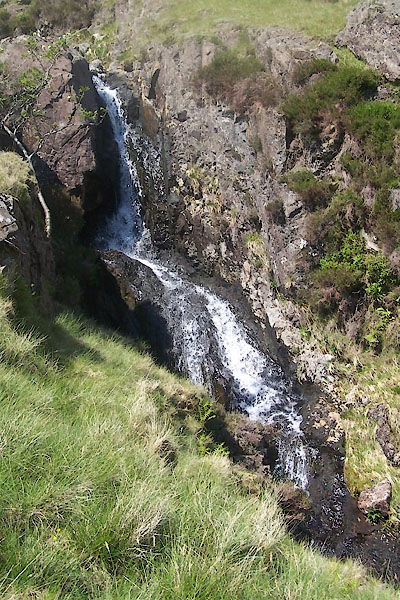
 BMB47.jpg At Wasdale Head. (taken 11.5.2006)  BUR15.jpg (taken 3.6.2011) |
||||
|
|
||||
| evidence:- | old map:- Saxton 1579 placename:- |
|||
| source data:- | Map, hand coloured engraving, Westmorlandiae et Cumberlandiae Comitatus ie Westmorland
and Cumberland, scale about 5 miles to 1 inch, by Christopher Saxton, London, engraved
by Augustinus Ryther, 1576, published 1579-1645.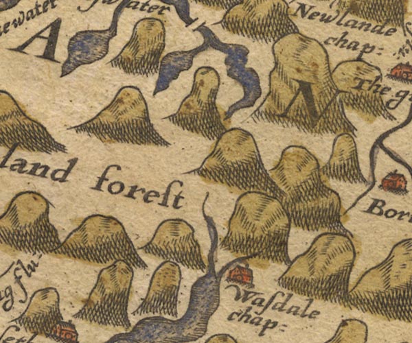 SAX9NY11.jpg item:- private collection : 2 Image © see bottom of page |
|||
|
|
||||
| evidence:- | old map:- Speed 1611 (Cmd) |
|||
| source data:- | Map, hand coloured engraving, Cumberland and the Ancient Citie
Carlile Described, scale about 4 miles to 1 inch, by John Speed,
1610, published by J Sudbury and George Humble, Popes Head
Alley, London, 1611-12.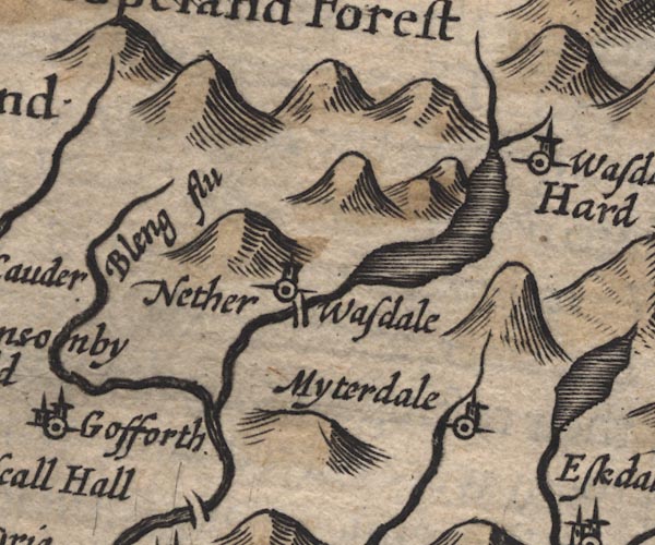 SP11NY10.jpg wiggly line, runs into Wast Water item:- private collection : 16 Image © see bottom of page |
|||
|
|
||||
| evidence:- | old map:- Jansson 1646 |
|||
| source data:- | Map, hand coloured engraving, Cumbria and Westmoria, ie
Cumberland and Westmorland, scale about 3.5 miles to 1 inch, by
John Jansson, Amsterdam, Netherlands, 1646.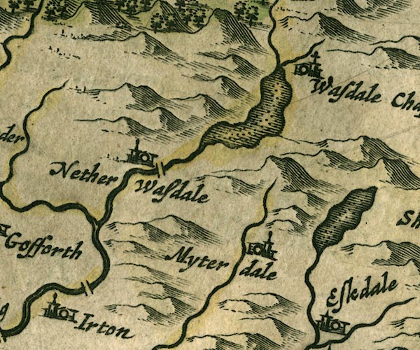 JAN3NY10.jpg Single wiggly line. item:- JandMN : 88 Image © see bottom of page |
|||
|
|
||||
| evidence:- | old map:- Morden 1695 (Cmd) |
|||
| source data:- | Map, uncoloured engraving, Cumberland, scale about 4 miles to 1
inch, by Robert Morden, 1695, published by Abel Swale, the
Unicorn, St Paul's Churchyard, Awnsham, and John Churchill, the
Black Swan, Paternoster Row, London, 1695-1715.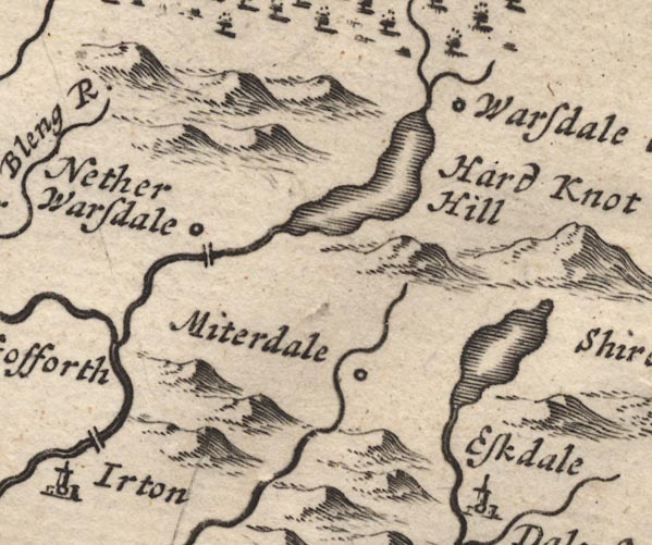 MD12NY10.jpg Wiggly line. item:- JandMN : 90 Image © see bottom of page |
|||
|
|
||||
| evidence:- | old map:- Bowen and Kitchin 1760 |
|||
| source data:- | Map, hand coloured engraving, A New Map of the Counties of
Cumberland and Westmoreland Divided into their Respective Wards,
scale about 4 miles to 1 inch, by Emanuel Bowen and Thomas
Kitchin et al, published by T Bowles, Robert Sayer, and John
Bowles, London, 1760.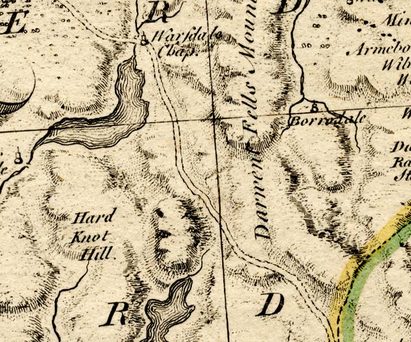 BO18NY10.jpg wiggly line, into Wast Water item:- Armitt Library : 2008.14.10 Image © see bottom of page |
|||
|
|
||||
| evidence:- | perhaps old map:- Donald 1774 (Cmd) |
|||
| source data:- | Map, hand coloured engraving, 3x2 sheets, The County of Cumberland, scale about 1
inch to 1 mile, by Thomas Donald, engraved and published by Joseph Hodskinson, 29
Arundel Street, Strand, London, 1774.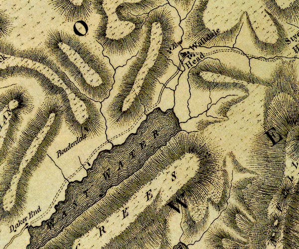 D4NY10NE.jpg single or double wiggly line; a river item:- Carlisle Library : Map 2 Image © Carlisle Library |
|||
|
|
||||
| evidence:- | probably old map:- West 1784 map |
|||
| source data:- | Map, hand coloured engraving, A Map of the Lakes in Cumberland,
Westmorland and Lancashire, scale about 3.5 miles to 1 inch,
engraved by Paas, 53 Holborn, London, about 1784.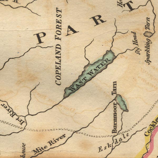 Ws02NY10.jpg item:- Armitt Library : A1221.1 Image © see bottom of page |
|||
|
|
||||
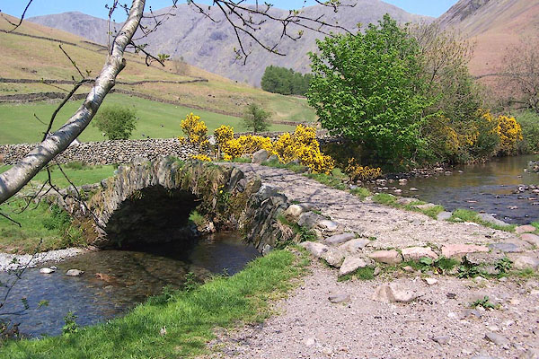
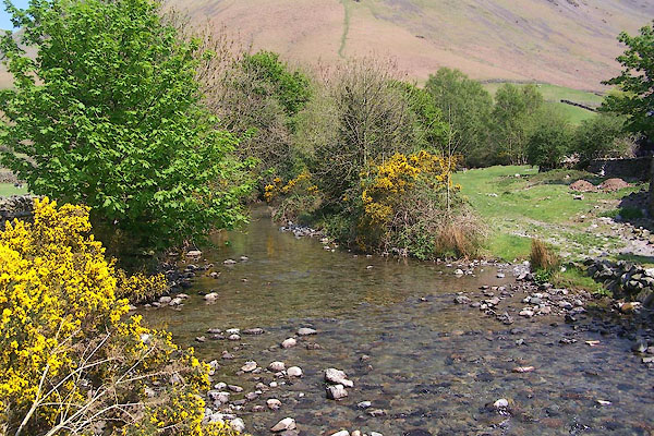
 BUR16.jpg (taken 3.6.2011) 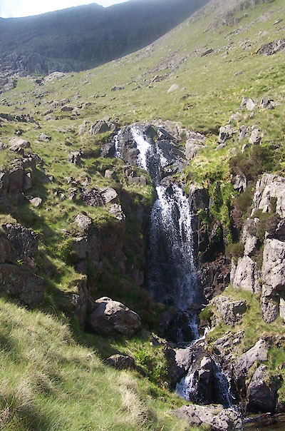 BUR17.jpg (taken 3.6.2011) |
||||
|
|
||||
| places:- |
|
|||
|
||||
|
||||
Lakes Guides menu.