 Walker 1837

|

|
|
|
map type:- Walker 1837 |
|
|
|
Maps, Westmorland, scale about 3 miles to 1 inch, and
Cumberland, scale about 5 miles to 1 inch, by John and
Charles Walker, derived from the Ordnance Survey and others,
published by Longman, Rees and Co, Paternoster Row, London,
1836; published 1836-70.
Published in 'To their Royal Highnesses The Duchess of Kent and the Princess Victoria, This British Atlas, Comprising separate Maps of every County in England each Riding in Yorkshire and North and South Wales Showing the Roads, Railways, Canals, Parks, Boundaries of Boroughs, &c. Compiled from the maps of the Board of Ordnance and other Trigonometrical Surveys ... by ... J. & C. Walker. Published March 1, 1837, by Longman, Rees & Co. Paternoster Row, and J. & C. Walker, 3 Burleigh Street, Strand.' the atlas has a title page and 47 maps; its size is 13 3/8 x 16 1/2 ins. Individual maps in this series were published from 1835 onwards. Lithograph version published in a Fox-Hunting Atlas by Hobson, 1850. Published in a reprint 1837, after the accession of Victoria, with the atlas dedication amended. Published in an edition, 1841. the map is the same, and is accompanied by a page of text of statistical tables and a table of distances. Perhaps published in an edition, 1846. Published in an edition, 1852; same as the 1841 edition. Published in an edition, 1862; there might be amendments, eg the railways corrected. Published in an edition, 1870; with the railways brought up to date; it is not clear whether railways, for example, are brought up to date for each edition. |
||

|
Hobson 1850 | |
|
(example map)
|
||
| map feature:- | plain cartouche & up is N & scale line & lat and long scales & coast shaded & rivers & relief & hill hachuring & woods & trees & forests & parks & county & electoral data & wards (hundreds) & settlements & roads & canals & railways | |
| inscription:- |
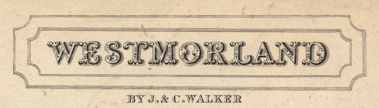
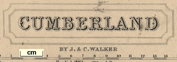
printed plain cartouche, upper left
WESTMORLAND / BY J. & C. WALKER |
|
| wxh, sheet:- | 44x35.5cm | |
| wxh, map:- | 381x323mm | |
| scale line:- | 10+1 miles = 93.1 mm | |
| scale:- | 1 to 190000 ? (1 to 1901481 from scale line) | |
|
||
|
||
| references:- |
Hobson: 1850: Fox Hunting Atlas Walker, J and C: 1837 & 1841 & 1846(?) & 1852 & 1862 & 1870: British Atlas: Longman, Rees and Co & Walker, J and C (London) |
|
| sources:- |
Chubb 1927 (CCCCLXXVI) JandMN Collection private collection Armitt Library Wordsworth Trust Collection Carlisle Library Maps Kendal Library Maps |
|
| items seen (illustrated items in bold):- | ||
|
|
Armitt Library : ALMC2008.14.31 -- map -- Westmorland | |
|
|
Armitt Library : ALMC2008.14.32 -- map -- Westmorland | |
|
|
Armitt Library : ALMC2008.14.33 -- map -- Westmorland | |
|
|
Carlisle Library : Map 159 -- map -- Cumberland | |
|
|
Carlisle Library : Map 205 -- map -- Westmorland | |
|
|
Dove Cottage : 2007.38.33 -- map -- Westmorland | |
|
|
Dove Cottage : 2007.38.93 -- map -- Westmorland | |
|
|
JandMN (122) -- map -- Westmorland | |
|
|
JandMN (126) -- map -- Cumberland | |
|
|
Kendal Library : Map 37 -- map -- Westmorland | |
|
|
Kendal Library : Map 119 -- map -- Westmorland | |
|
|
Kendal Library : Map 125 -- map -- Westmorland | |
|
|
private collection (286) -- map -- Westmorland | |
|
|
private collection (287) -- map -- Westmorland | |