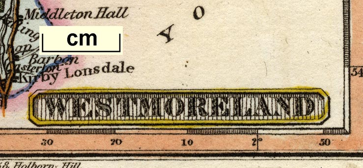
 Westmoreland

|

|
|
|
map type:- Miller 1810 |
|
|
|
Maps, Westmoreland, scale about 14 miles to 1 inch, and
Cumberland? by Robert Miller, London, 1810; published
1810-25.
Published in 'MILLER'S new Miniature Atlas containing a complete set of County Maps, in which are CAREFULLY DELINEATED All the Principal Direct & Cross Roads Cities, Towns, Villages, Parks, Seats, Rivers & Navigable Canals. with a General map of ENGLAND & WALES. / LONDON PUBLISHED BY R. MILLER, 24, Old Fish Street St. Pauls.' 1810. The atlas has title page, index, 56 maps; at the end are advertisements for books, etc. Published in a renamed edition, 'Darton's New Miniature Atlas ... London: Published by William Darton, 58, Holborn Hill ...' 1820. There was a further edition 1825. |
||

|
Ramble 1845 | |
|
||
| references:- |
Miller, Robert: 1810: Miller's New Miniature Atlas:
(London) Miller, Robert: 1820: Darton's New Miniature Atlas: Darton, William (London) |
|
| sources:- |
Chubb 1927 (CCCXL) Armitt Library |
|
| items seen (illustrated items in bold):- | ||
|
|
Armitt Library : ALMC2008.14.52 -- map -- Westmoreland | |