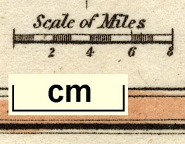
Maps, Westmoreland, scale about 14 miles to 1 inch, and Cumberland? by Robert Miller, London, 1810; published 1810-25. (Miller 1810)
Lakes Guides menu.
 Lakes Guides menu.