 Provisional Map of the Volcanic Rocks of the Lake
District
Provisional Map of the Volcanic Rocks of the Lake
District

|

|
|
|
map type:- Marr 1916 map |
|
|
|
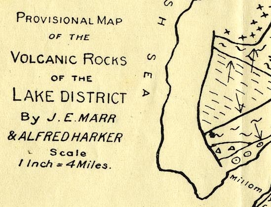
Geological map series, illustrating various features of
The Lake District, in a book, The Geology of the Lake
District, by J E Marr and Alfred Harker, published by
Cambridge University Press, Cambridge, Cambridgeshire, 1916.
The maps are:- Provisional Map of the Volcanic Rocks of the Lake District Map Illustrating the Relationship of The Shap Granite ... to the Neighbouring Formations Metamorphic Rocks around the Skiddaw Granite Sketch Map of the Carrock Fell District Directions of Movement of the Ice Sheet Distribution of Shap Granite Boulders |
||
|
(example JandMN (173_2)
|
||
| map feature:- | north point & up is NW & sea plain & coast line & rivers & lakes & geology & stratigraphical column | |
| inscription:- |
printed lower left
PROVISIONAL MAP / OF THE / VOLCANIC ROCKS / OF THE / LAKE DISTRICT / BY J. E. MARR / & ALFRED HARKER |
|
| wxh, sheet:- | 32.5x22cm | |
| sources:- |
JandMN Collection |
|
| items seen (illustrated items in bold):- | ||

|
JandMN (173_2) -- geological map -- Provisional Map of the Volcanic Rocks of the Lake District | |
|
|
JandMN (173_3) -- geological map -- Map Illustrating ... The Shap Granite ... | |
|
|
JandMN (173_4) -- geological map -- Metamorphic Rocks around the Skiddaw Granite | |
|
|
JandMN (173_5) -- geological map -- Sketch Map of the Carrock Fell District | |
|
|
JandMN (173_6) -- geological map -- Directions of Movement of the Ice Sheet | |
|
|
JandMN (173_7) -- geological map -- Distribution of Shap Granite Boulders | |