 Map of the English Lake District

|

|
|
|
map type:- Jenkinson 1875 map 1 |
|
|
|
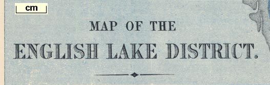
Map of the English Lake District, Westmorland, Cumberland
and Lancashire, scale about 4 miles to 1 inch, by Stanford's
Geographical Establishment, before 1875.
And a series of detail maps, scale 1 inch to 1 mile, for areas around Windermere, Langdale, Coniston, Keswick, Buttermere, Wastwater, and Ullswater. Published in A Practical Guide to the English Lake District, by Henry Irwin Jenkinson, published by Edward Stanford, 55 Charing Cross, London, 4th edn 1875. Published, probably, in the 6th edn 1879. Published, probably, in the 8th edn 1885. |
||
|
(map example JandMN (28_1))
|
||
| map feature:- | up is N & scale line & lat and long scales & sea shaded (blue) & coast line & rivers & lakes & county & settlements & roads & railways & index map | |
| inscription:- |
printed lower left
MAP OF THE / LAKE DISTRICT. |
|
| inscription:- |
printed top centre
INDEX MAP |
|
| inscription:- |
printed bottom, centre and right
London : Edward Stanford, 55 & 8. Charing Cross, S.W. / Stanford's Geographical Establisht. |
|
| scale line:- | 10 miles = 63.4 mm | |
| scale:- | 1 to 250000 ? (1 to 253840 from scale line) | |
| wxh, sheet:- | 31x37.5cm | |
| wxh, map:- | 295x354mm | |

|
||
| sources:- |
JandMN Collection Bicknell 1990 |
|
| items seen (illustrated items in bold):- | ||

|
JandMN (28_1) -- map -- Map of the English Lake District | |
|
|
JandMN (28_3) -- map -- Windermere Section | |
|
|
JandMN (28_4) -- map -- Langdale Section | |
|
|
JandMN (28_6) -- map -- Coniston Section | |
|
|
JandMN (28_7) -- map -- Keswick Section | |
|
|
JandMN (28_10) -- map -- Buttermere Section | |
|
|
JandMN (28_11) -- map -- Wastwater Section | |
|
|
JandMN (28_12) -- map -- Ullswater Section | |