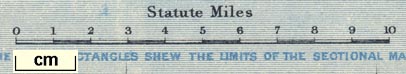
Map of the English Lake District, Westmorland, Cumberland and Lancashire, scale about 4 miles to 1 inch, by Stanford's Geographical Establishment, before 1875. (Jenkinson 1875 map 1)
Lakes Guides menu.
 Lakes Guides menu.