 Hall 1820

|

|
|
|
map type:- Hall 1820 |
|
|
|
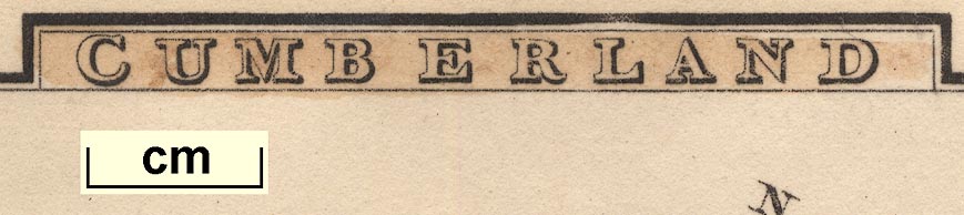
Maps, Westmoreland, scale about 14.5 miles to 1 inch, and
Cumberland, scale about 21 miles to 1 inch, by Sidney Hall,
London, 1820, published by Samuel Leigh, 18 Strand, London,
1820; published 1820-42.
Published in 'Leigh's New Atlas of England and Wales ... London, 1820.' as a companion volume to his 'Picture of England and Wales'. The Westmorland map is published sideways on its atlas page 38; Cumberland is ono page 7. The introduction of the 'Picture ...' states 'The proprietor has availed himself of the talents of Mr. Sidney Hall to project a series of correct maps, ...' Published in 'Leigh's New Atlas of England & Wales. Sy. Hall sculpt. London Published by Samuel Leigh, 18, Strand. With Leigh's New Pocket Road-Book of England, wales, and part of Scotland ... London: Printed for Samuel Leigh, 18, Strand, 1825.' The atlas size is 3 1/4 x 5 1/2 ins. Published in 2nd edition 1826, 3rd edition 1831 Published in 4th edition 1833, 'Published by M. A. Leigh, 421 Strand' Published in 5th edition 1835 Published in 6th edition 1837, no longer with Hall's name on plate. Published in 7th edition 1839, 8th edition 1840 Published in 9th edition 'Leigh's New Pocket Atlas of England and Wales. New Edition. London: G. Biggs. Successor to Leigh & Son, 421, Strand, ...' 1842. |
||
|
(map example JandMN (64))
|
||
| map feature:- | plain cartouche & compass rose & up is E & scale line & coast shaded & rivers & lakes & parks & county & settlements & roads | |
| inscription:- |
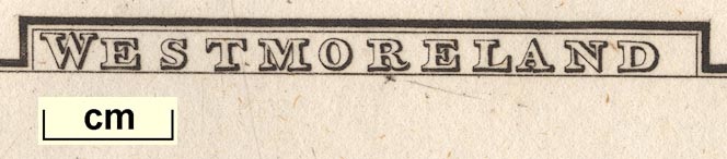
printed top of page, side of map
WESTMORELAND / 38 |
|
| inscription:- |
printed bottom of page, side of map, left and right
Pub. by S. Leigh, 18, Strand. / Sidy. Hall sculpt. |
|
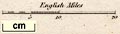
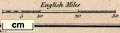
| scale line:- | 20 miles = 35.1 mm | |
| scale:- | 1 to 920000 ? (1 to 917005 from scale line assuming a statute mile) | |
| wxh, sheet:- | 9x14cm | |
| wxh, map:- | 123x71mm | |
| inscription:- |
[Pub. by S. Leigh / Sidy Hall sculpt.] 1825-35 editions |
|
| inscription:- |
[Published by M. A. Leigh, 421 Strand] 1833-42 editions |
|
|
||
|
||
| references:- |
Leigh, Samuel: 1820 & 1825 & 1826 & 1831: Leigh's New Atlas
of England and Wales: Leigh, Samuel (London) Leigh, Samuel: 1833 & 1835 & 1837 & 1839 & 1840: Leigh's New Atlas of England and Wales: Leigh, M A (London) Leigh, Samuel: 1842: Leigh's New Atlas of England and Wales: Biggs, G (London) |
|
| sources:- |
Chubb 1927 (CCCLXXIII) JandMN Collection Wordsworth Trust Collection Armitt Library Kendal Library Maps |
|
| items seen (illustrated items in bold):- | ||

|
Armitt Library : ALMC2008.14.58 -- map -- Westmoreland | |
|
|
Dove Cottage : 2007.38.51 -- map -- Westmoreland | |
|
|
Dove Cottage : 2007.38.56 -- map -- Westmoreland | |
|
|
JandMN (64) -- map -- Westmoreland | |
|
|
JandMN (91) -- map -- Cumberland | |
|
|
Kendal Library : Map 14 -- map -- Westmoreland | |
|
|
Kendal Library : Map 66 -- map -- Westmoreland | |