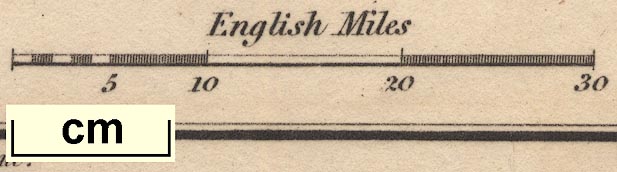
Maps, Westmoreland, scale about 14.5 miles to 1 inch, and Cumberland, scale about 21 miles to 1 inch, by Sidney Hall, London, 1820, published by Samuel Leigh, 18 Strand, London, 1820; published 1820-42. (Hall 1820)
Lakes Guides menu.
 Lakes Guides menu.