 Greenwood 1834

|

|
|
|
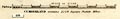
map type:- Greenwood 1834 |
|
|
|
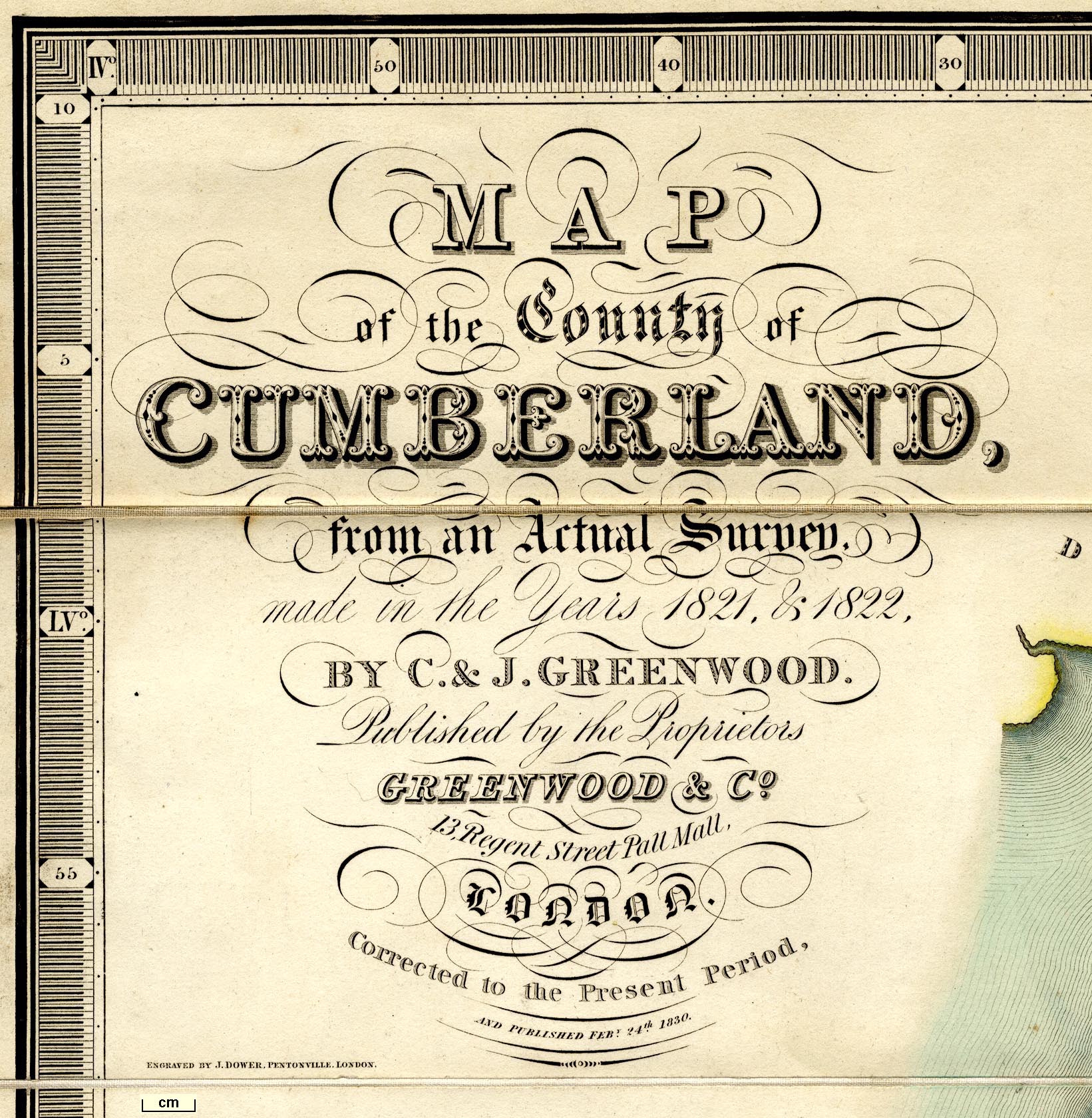
Maps, Map of the County of Westmorland, and Map of the
County of Cumberland, both scale about 3 miles to 1 inch, by
C and J Greenwood, 1822-23, engraved by J and C Walker,
1830, published by Greenwood and Co, Burleigh Street,
Strand, London, 1834.
Published in part 2 'Atlas of the Counties of England, from Actual surveys made from the years 1817 to 1833 by C. & J. Greenwood, Published by the Proprietors Greenwood and Co, Burleigh Street, Strand, London. Published April 1st, 1834. ...' the atlas size is 31 x 25 3/4 ins; the map is reduced from their larger map at the scale 1 mile to 1 inch which was published 1826. |
||

|
Greenwood 1824 | |
|
(map example private collection (12))
|
||
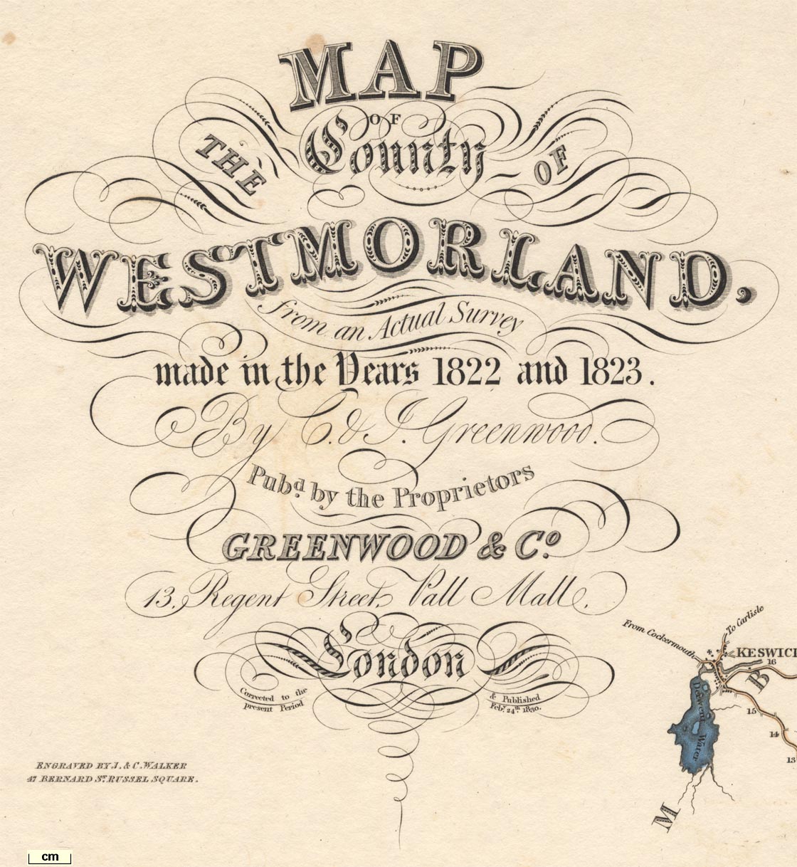
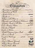
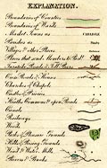
| map feature:- | compass rose & scale line & lat and long scales & table of symbols & coast line & coast form lines & rivers & lakes & relief & hill hachuring & woods & forests & parks & vignettes (View of Appleby) & county & wards (hundreds) & table of wards (hundreds) & settlements & roads & canals & electoral data | |
| inscription:- |
printed upper left
MAP / OF / THE COUNTY OF / WESTMORLAND. / from an Actual Survey / made in the Years 1822 and 1823 / By C. & J. Greenwood / Pubd. by the Proprietors / GREENWOOD & Co. / 13, Regent Street, Pall Mall, / London / Corrected to the present Period & Published Feby. 24th. 1830. |
|
| inscription:- |
printed left above centre
ENGRAVED BY J. & C. WALKER / 47 BERNARD ST. RUSSEL SQUARE |
|
| scale line:- | 10 miles = 90.2 mm | |
| scale:- | 1 to 180000 ? (1 to 178420 from scale line assuming a statute mile) | |
| wxh, map:- | 700x581mm | |
|
||
|
||
|
||
|
||
| references:- |
Greenwood, Charles & Greenwood, John: 1834: Atlas of the
Counties of England: Greenwood and Co (London) |
|
| sources:- |
Chubb 1927 (CCCCLVIIIa) private collection JandMN Collection Wordsworth Trust Collection Kendal Library Maps Carlisle Library Maps |
|
| items seen (illustrated items in bold):- | ||
|
|
Carlisle Library : Map 67 -- map -- Map of the County of Westmorland | |
|
|
Carlisle Library : Map 68 -- map -- Map of the County of Westmorland | |
|
|
Carlisle Library : Map 319 -- map -- Map of the County of Cumberland | |
|
|
Dove Cottage : 2007.38.25 -- map -- Map of the County of Westmorland | |
|
|
Dove Cottage : 2007.38.26 -- map -- Map of the County of Westmorland | |
|
|
JandMN (232) -- map -- Map of the County Palatine of Lancaster | |
|
|
JandMN (412) -- map -- Map of the County of Cumberland | |
|
|
Kendal Library : Map 134 -- map -- Map of the County of Westmorland | |
|
|
Kendal Library : Map 135 -- map -- Map of the County of Westmorland | |
|
|
Kendal Library : Map 136 -- map -- Map of the County of Westmorland | |
|
|
Kendal Library : Map 147 -- map -- Map of the County of Westmorland | |
|
|
private collection (12) -- map -- Map of the County of Westmorland | |