 England and Wales

|

|
|
|
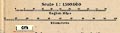
map type:- Baedeker 1927 map 1 |
|
|
|
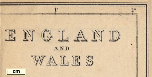
Map, England and Wales, with railways, scale about 23
miles to 1 inch, by Wagner and Debes, Leipzig, Germany,
1927? based on the Ordnance Survey.
Tipped in before the title page of Baedeker's Great Britain, 8th edn 1927. There is an index map to the general map: Key Map of Great Britain, scale about 95 miles to 1 inch, by Wagner and Debes Geographical Establishment, Leipzig, Germany, 1927? - printed on the end papers of Baedeker's Great Britain, 8th edn 1927. There is a map of the Lake District, etc, in the same guide book. |
||
|
(map example JandMN (68_1)
|
||
| map feature:- | up is N & scale lines & lat and long grid & lat and long scales & table of symbols & sea plain & coast tinted & rivers & relief & hill shading & county & settlements & railways & canals & shipping routes | |
| inscription:- |
printed upper right
ENGLAND / AND / WALES |
|
| wxh, sheet:- | 38.5x40.5cm | |
| wxh, map:- | 366x384mm | |
| scale line:- | 50 miles = 54.2 mm | |
| scale:- | 1 to 1500000 ? (1 to 1484635 from scale line) | |
|
||
|
||
| sources:- |
JandMN Collection |
|
| items seen (illustrated items in bold):- | ||

|
JandMN (68_1) -- map -- England and Wales | |
|
|
JandMN (68_2) -- index map -- Key Map of Great Britain | |