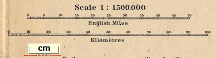
Map, England and Wales, with railways, scale about 23 miles to 1 inch, by Wagner and Debes, Leipzig, Germany, 1927? based on the Ordnance Survey. (Baedeker 1927 map 1)
Lakes Guides menu.
 Lakes Guides menu.