
JandMN (235_2)
image:-
© see bottom of page

click to enlarge
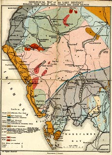
Included as frontispiece in the guide book, Ascents and Passes in the Lake District of England, by Herman Prior.

GEOLOGICAL MAP OF THE LAKE DISTRICT / REDUCED FROM THAT OF JOHN RUTHVEN AND OTHER SOURCES
All Rights Reserved / Windermere; J. Garnett. / J. Bartholomew, Edinr.
Scale of Miles


 Garnett 1850s-60s K