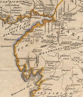


placename:- Axelodunum
placename:- Congavata
 click to enlarge
PEN1Cm.jpg
"Congavata"
square; roman camp on Hadrian's Wall RECORD_TYPE included record
item:- private collection : 66
Image © see bottom of page
placename:- Congavata
item:- aqueduct, roman
 goto source
Page 192:- "..."
"Mr. Horsley fixes CONGAVATA at Stanwicks, on such proofs as cannot be controverted. Here is a plain area of a station and a gentle descent to the south, and the rising for the outbuildings, which the abundance of stones dug up prove to have stood here. Some of the stones answered to the description of an aqueduct. The ruins of the wall are very visible to the brink of the precipice."
"..."
 goto source
Page 195:- "..."
"Over the river Eden is Stanwick, where Horsley places Congavata, on incontestible evidence. The Roman wall is very visible here. ..."
placename:-
 goto source
Page 227, Mr Horsley:- "..."
""STANWICKS, ... And then it is highly probable that Severus's wall has formed the north rampart of the"
 goto source
Page 228:- "station here, as it has generally done with respect to the other stations upon the wall. This situation will suit exactly well with those rules which the Romans observed in building these stations. For here is a plain area for the station, and a gentle descent to the south, and towards the river, for the out-buildings. And by all accounts, and the usual evidences, it is upon this descent, and chiefly to the south-east, that the Roman buildings have stood. Abundance of stones have been lately dug up in this part. I was told of some, which by the description of them resembled the stones of an aqueduct. ...""
placename:- Congavata
HP01p152.txt
Page 152:- "..."
"Stanwix, site of Convagata, ... is a sorry spot on which to meditate upon the departed colonial fortunes of Imperial Rome, for the Wall is gone and Stanwix church and churchyard stand upon the site of the fort."
placename:- Uxelodunum
placename:- Axelodunum
placename:- Uxelodum
placename:- Uxelludamo
placename:- Uxelodiano
placename:- Axeloduno
placename:- Axdoduno
