 |
 |
   |
|
|
| runs into:- |
 Rothay, River Rothay, River |
|
|
| runs into:- |
 Thirlmere Thirlmere |
|
|
|
|
| civil parish:- |
Lakes (formerly Westmorland) |
| civil parish:- |
St John's Castlerigg and Wythburn (formerly Cumberland) |
| county:- |
Cumbria |
| locality type:- |
river |
| locality type:- |
boundary |
| locality type:- |
county boundary (once) |
| locality type:- |
parish boundary |
| 1Km square:- |
NY3211 (etc) |
| 10Km square:- |
NY31 |
|
|
|
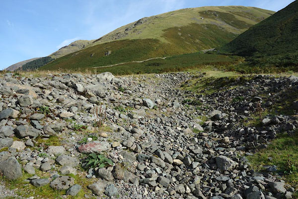
CDZ85.jpg Above Raise Bridge, the old route of the stream,
(taken 28.9.2015)
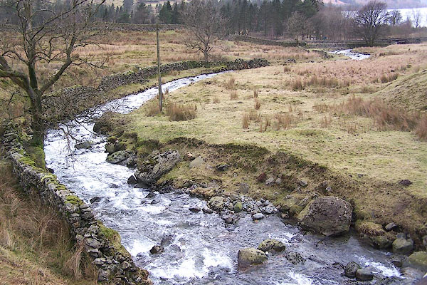
BLQ04.jpg From Redbrow Bridge.
(taken 15.2.2006)
|
|
|
| evidence:- |
old map:- OS County Series (Wmd 18 8)
placename:- Raise Beck
|
| source data:- |
Maps, County Series maps of Great Britain, scales 6 and 25
inches to 1 mile, published by the Ordnance Survey, Southampton,
Hampshire, from about 1863 to 1948.
OS County Series (Wmd 18 12)
OS County Series (Cmd 76 1)
|
|
|
| evidence:- |
old map:- Saxton 1579
|
| source data:- |
Map, hand coloured engraving, Westmorlandiae et Cumberlandiae Comitatus ie Westmorland
and Cumberland, scale about 5 miles to 1 inch, by Christopher Saxton, London, engraved
by Augustinus Ryther, 1576, published 1579-1645.
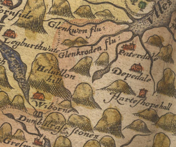
Sax9NY31.jpg
item:- private collection : 2
Image © see bottom of page
|
|
|
| evidence:- |
old map:- Speed 1611 (Wmd)
|
| source data:- |
Map, hand coloured engraving, The Countie Westmorland and
Kendale the Cheif Towne, scale about 2.5 miles to 1 inch, by
John Speed, 1610, published by George Humble, Popes Head Alley,
London, 1611-12.
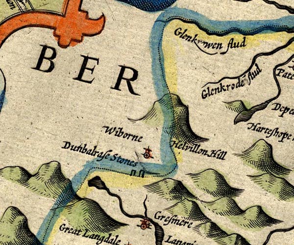
SP14NY31.jpg
double line, into Easedale Beck
item:- Armitt Library : 2008.14.5
Image © see bottom of page
|
|
|
| evidence:- |
old map:- Ogilby 1675 (plate 96)
|
| source data:- |
Road strip map, hand coloured engraving, the Road from Kendal to
Cockermouth, and the Road from Egremond to Carlisle, scale about
1 inch to 1 mile, by John Ogilby, London, 1675.
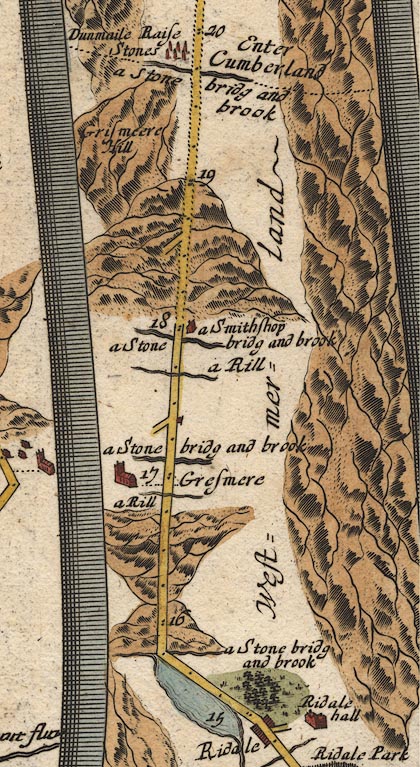
OG96m015.jpg
In mile 19, Westmerland, Cumberland.
River crossed at:- "a Stone bridg and brook"
no bridge drawn; the county boundary:- "Enter Cumberland"
a dotted line, along the river.
item:- JandMN : 22
Image © see bottom of page
|
|
|
| evidence:- |
perhaps old map:- Bowen and Kitchin 1760
|
| source data:- |
Map, hand coloured engraving, A New Map of the Counties of
Cumberland and Westmoreland Divided into their Respective Wards,
scale about 4 miles to 1 inch, by Emanuel Bowen and Thomas
Kitchin et al, published by T Bowles, Robert Sayer, and John
Bowles, London, 1760.
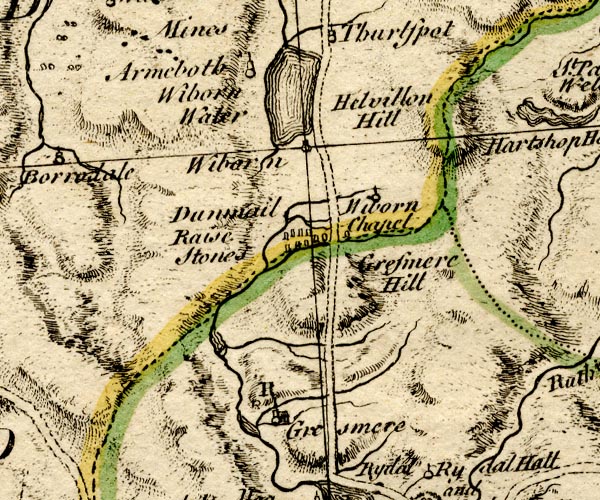
BO18NY20.jpg
wiggly line, but into Easedale Tarn? county boundary Westmorland Cumberland
item:- Armitt Library : 2008.14.10
Image © see bottom of page
|
|
|
| evidence:- |
old map:- Jefferys 1770 (Wmd)
|
| source data:- |
Map, 4 sheets, The County of Westmoreland, scale 1 inch to 1
mile, surveyed 1768, and engraved and published by Thomas
Jefferys, London, 1770.
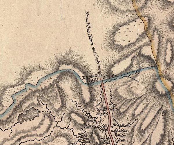
J5NY31SW.jpg
single or double wiggly line; river
item:- National Library of Scotland : EME.s.47
Image © National Library of Scotland |
|
|
| evidence:- |
old map:- Donald 1774 (Cmd)
|
| source data:- |
Map, hand coloured engraving, 3x2 sheets, The County of Cumberland, scale about 1
inch to 1 mile, by Thomas Donald, engraved and published by Joseph Hodskinson, 29
Arundel Street, Strand, London, 1774.
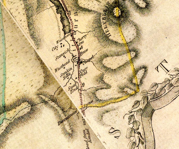
D4NY31SW.jpg
single or double wiggly line; a river on county boundary
item:- Carlisle Library : Map 2
Image © Carlisle Library |
|
|
| evidence:- |
old map:- Clarke 1787 map (Ambleside to Keswick)
|
| source data:- |
Map, A Map of the Roads Lakes etc between Keswick and Ambleside,
scale about 2.5 ins to 1 mile, by James Clarke, engraved by S J
Neele, 352 Strand, published by James Clarke, Penrith,
Cumberland and in London etc, 1787.
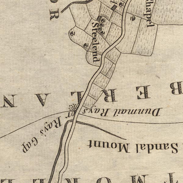
CL9NY31A.jpg
Drawn turning towards Ambleside under the road.
item:- private collection : 10.9
Image © see bottom of page
|
|
|
| evidence:- |
old map:- Cooper 1808
|
| source data:- |
Map, hand coloured engraving, Westmoreland ie Westmorland, scale
about 9 miles to 1 inch, by H Cooper, 1808, published by R
Phillips, Bridge Street, Blackfriars, London, 1808.
 click to enlarge click to enlarge
COP4.jpg
tapering wiggly line; river; county boundary
item:- Dove Cottage : 2007.38.53
Image © see bottom of page
|
|
|
| evidence:- |
old map:- Otley 1818
|
| source data:- |
Map, uncoloured engraving, The District of the Lakes,
Cumberland, Westmorland, and Lancashire, scale about 4 miles to
1 inch, by Jonathan Otley, 1818, engraved by J and G Menzies,
Edinburgh, Scotland, published by Jonathan Otley, Keswick,
Cumberland, et al, 1833.
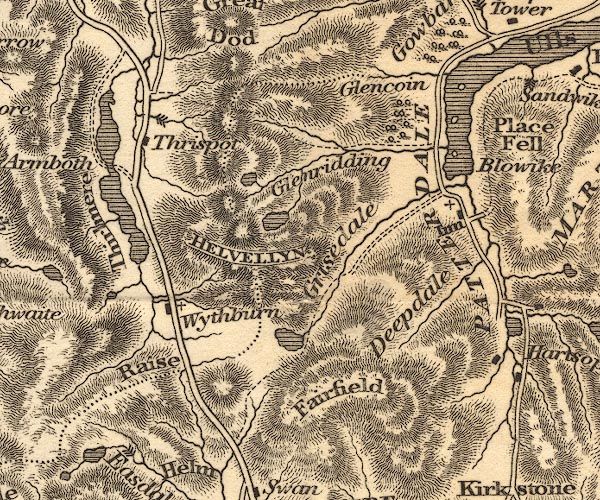
OT02NY31.jpg
item:- JandMN : 48.1
Image © see bottom of page
|
|
|
| evidence:- |
descriptive text:- Ford 1839 (3rd edn 1843)
|
| source data:- |
Guide book, A Description of Scenery in the Lake District, by
Rev William Ford, published by Charles Thurnam, Carlisle, by W
Edwards, 12 Ave Maria Lane, Charles Tilt, Fleet Street, William
Smith, 113 Fleet Street, London, by Currie and Bowman,
Newcastle, by Bancks and Co, Manchester, by Oliver and Boyd,
Edinburgh, and by Sinclair, Dumfries, 1839.
 goto source goto source
Page 44:- "..."
"... On the right of the Raise Gap, is a stream that divides the counties of Cumberland
and Westmorland, and in wet weather presents a number of fine falls."
|
|
|
|
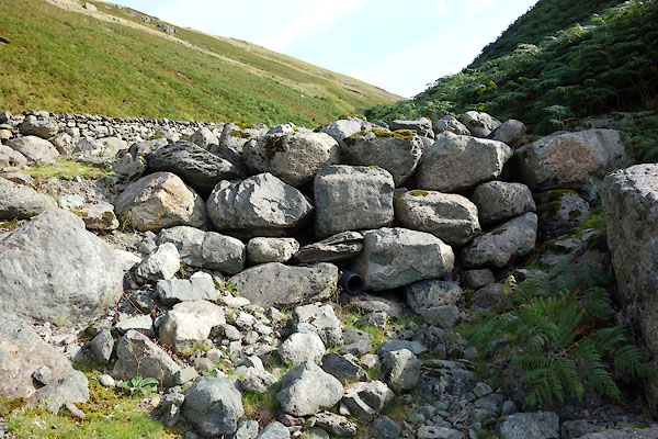
CDZ86.jpg Boulders, which encourage the beck down its new route,
(taken 28.9.2015)
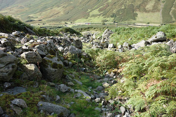
CDZ87.jpg Old route below the boulders,
(taken 28.9.2015)
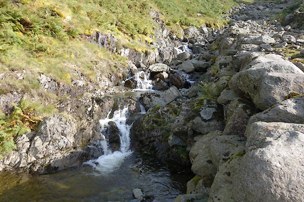
CDZ88.jpg Above the boulders,
(taken 28.9.2015)
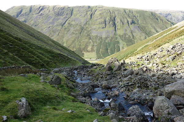
CDZ89.jpg New course below the boulders,
(taken 28.9.2015)
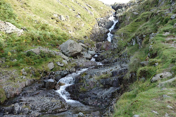
CDZ90.jpg Cascade,
(taken 28.9.2015)
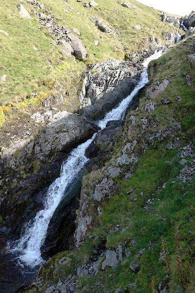
CDZ91.jpg Cascade,
(taken 28.9.2015)
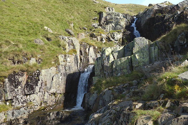
CDZ92.jpg Waterfalls,
(taken 28.9.2015)
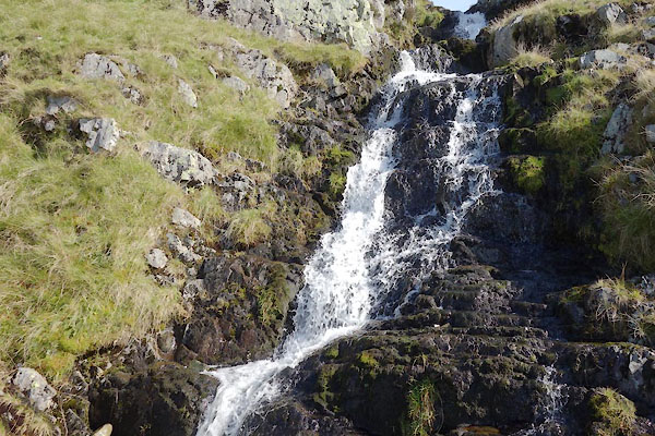
CDZ93.jpg Cascade,
(taken 28.9.2015)
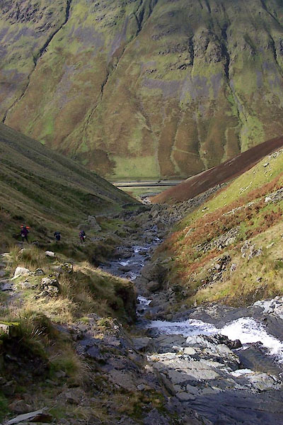
BVL31.jpg View to Dunmail Raise.
(taken 26.9.2011)
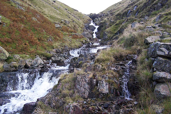
BVL28.jpg Waterfalls,
(taken 26.9.2011)
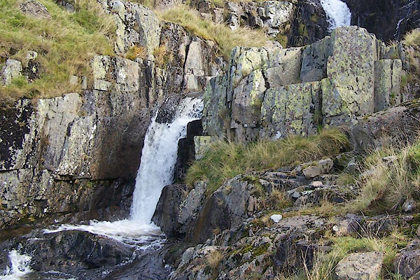
BVL29.jpg Waterfalls,
(taken 26.9.2011)
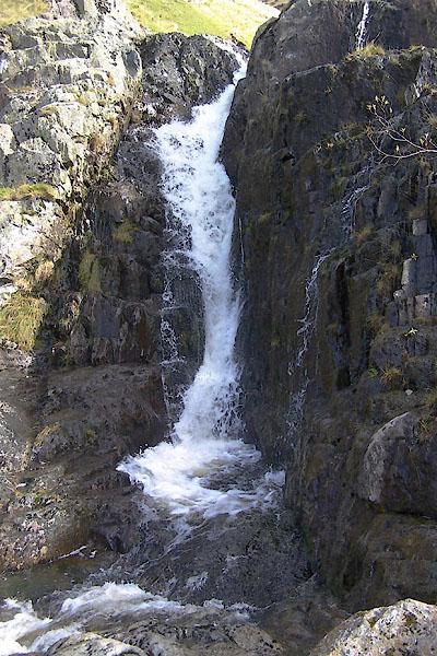
BVL30.jpg Waterfall,
(taken 26.9.2011)
|
|
|
| places:- |
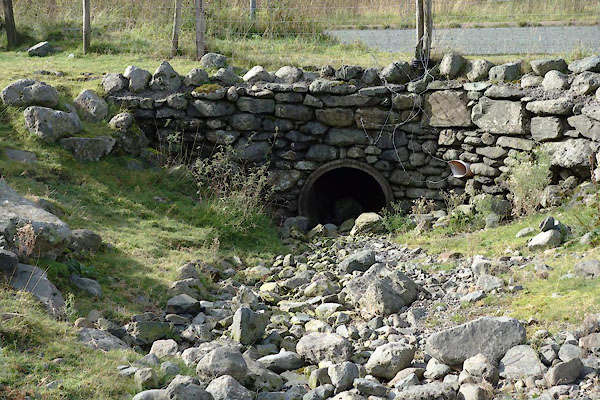 |
NY32771159 Raise Bridge (Lakes) |
|


 Rothay, River
 Thirlmere


 click to enlarge
 goto source


