


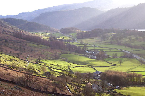
BNE03.jpg notice the leat
(taken 5.2.2007)
placename:- Legberthwaite
placename:- Legburthwate
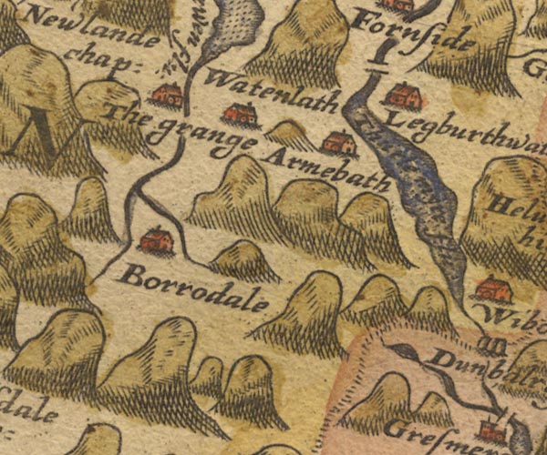
Sax9NY21.jpg
Building, symbol for a hamlet, which may or may not have a nucleus. "Legburthwate"
item:- private collection : 2
Image © see bottom of page
placename:- Legburthwate
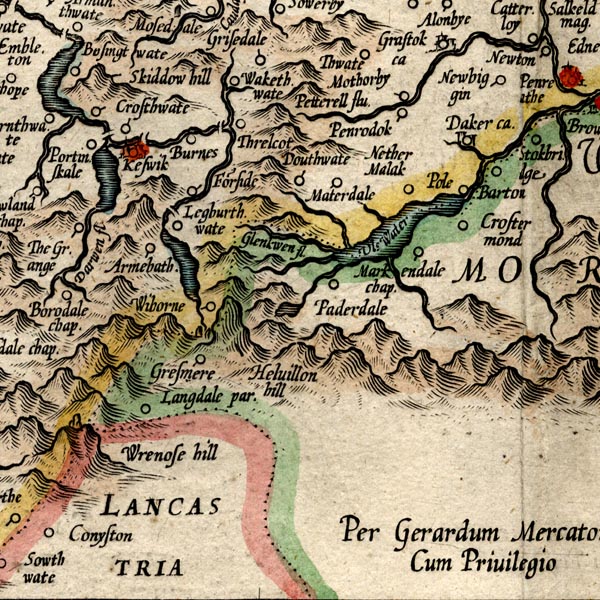
MER8CumF.jpg
"Legburthwate"
circle
item:- JandMN : 169
Image © see bottom of page
placename:- Legburthwate
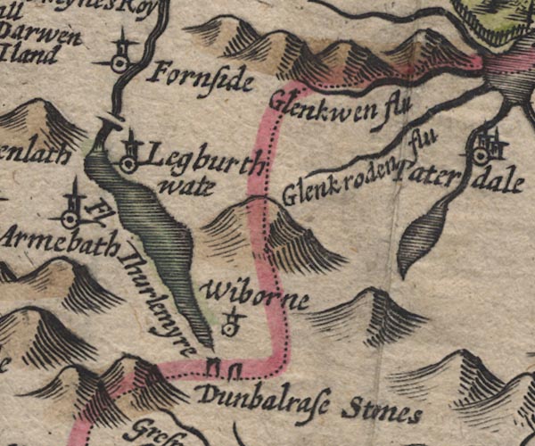
SP11NY31.jpg
"Legburthwate"
circle, tower
item:- private collection : 16
Image © see bottom of page
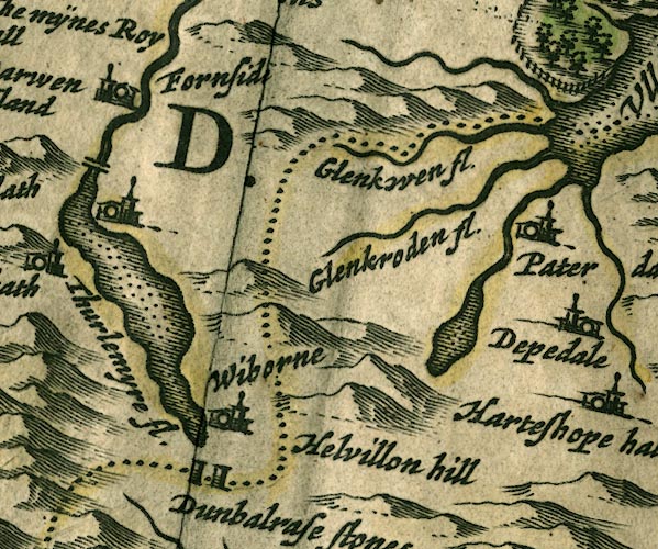
JAN3NY31.jpg
Buildings and tower.
item:- JandMN : 88
Image © see bottom of page
placename:- Legburgthwate
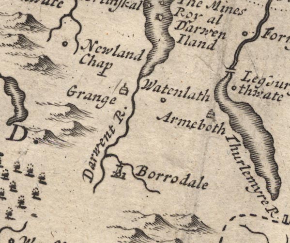
MD12NY21.jpg
"Legburgthwate"
Circle.
item:- JandMN : 90
Image © see bottom of page
placename:- Langthwaite
 goto source
Addendum; Mr Gray's Journal, 1769
Page 210:- "..."
"Oct. 8. I left Keswick, and took the Ambleside road, ... good country road, through sound but narrow and stony ones, very safe in broad day light. This is the case about Causeway foot and among Naddle-fells, to Langthwaite."
placename:- Legberthwaite
 goto source
Page 117:- "... enter the manor of Legberthwaite, the property of Thomas Leathes, Esq; it consists of ten tenements, all arbitrary, which yield together about L.3 per annum. ..."
placename:- Legberthwaite
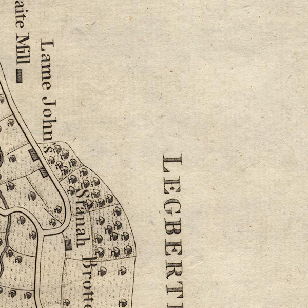
CL9NY31J.jpg
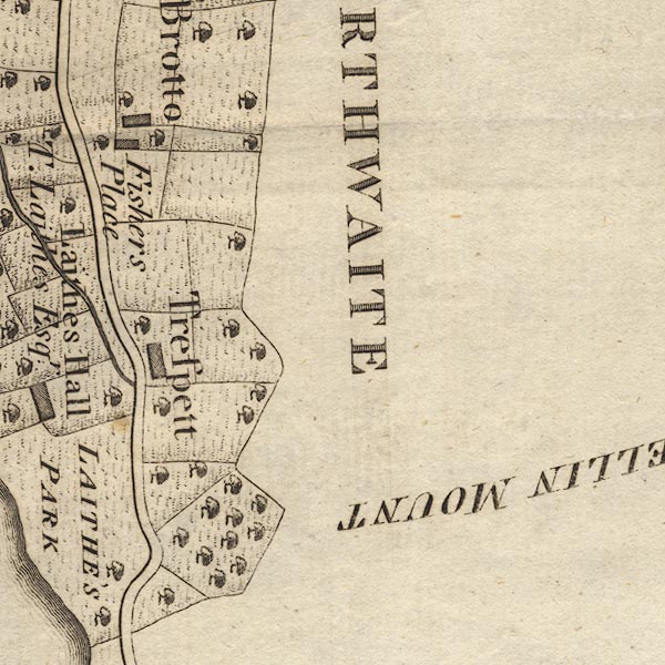
CL9NY31I.jpg
"LEGBERTHWAITE"
item:- private collection : 10.9
Image © see bottom of page
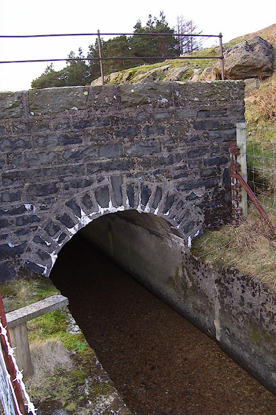
BNE04.jpg Bridge over the leat above Legburthwaite.
(taken 5.2.2007)
 |
NY31431940 Bridge End Farm (St John's Castlerigg and Wythburn) |
 |
NY31621930 bridge, Legburthwaite (Lakes) |
 |
NY31781887 bridge, Legburthwaite (2) (St John's Castlerigg and Wythburn) |
 |
NY32041937 Drystone Knott (St John's Castlerigg and Wythburn) |
 |
NY32971958 High Fells (St John's Castlerigg and Wythburn) |
 |
NY318194 Lame John's (St John's Castlerigg and Wythburn) |
 |
NY31541936 Little How (St John's Castlerigg and Wythburn) |
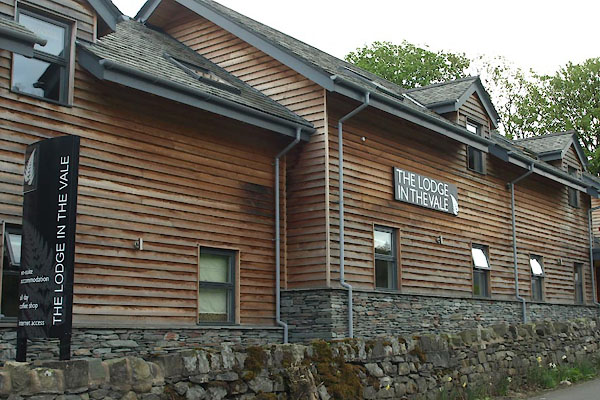 |
NY31841903 Lodge in the Vale, The (St John's Castlerigg and Wythburn) |
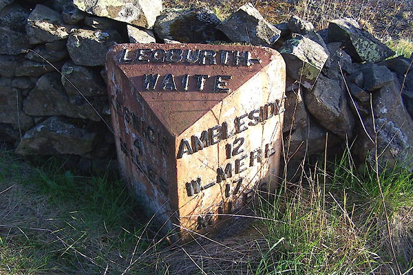 |
NY31062022 milestone, Legburthwaite (St John's Castlerigg and Wythburn) |
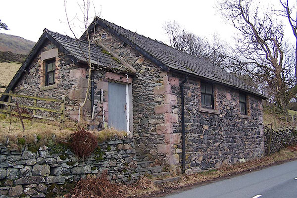 |
NY31871929 Mission Room (St John's Castlerigg and Wythburn) |
 |
NY31861944 Mousthwaite Cottage (St John's Castlerigg and Wythburn) |
 |
NY31831948 Oak House (St John's Castlerigg and Wythburn) |
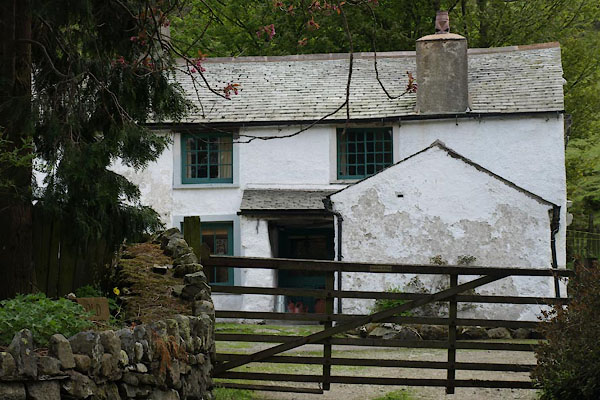 |
NY31851966 Old Green (St John's Castlerigg and Wythburn) L |
 |
NY31591935 Smithy House (St John's Castlerigg and Wythburn) |
 |
NY31601930 smithy, Legburthwaite (St John's Castlerigg and Wythburn) gone |
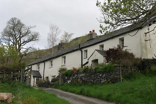 |
NY32021900 Stanah (St John's Castlerigg and Wythburn) |
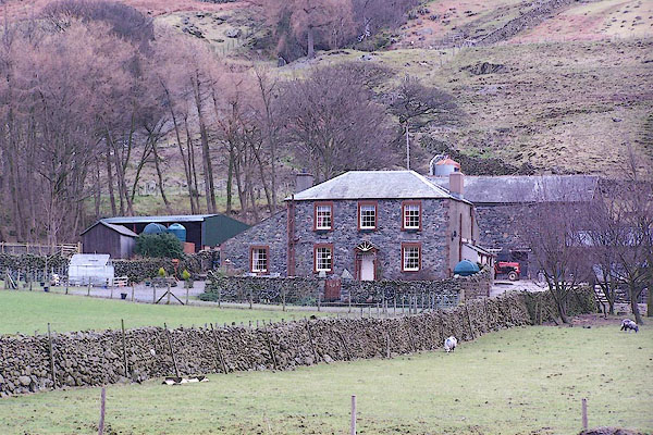 |
NY31951882 Stybeck Farm (St John's Castlerigg and Wythburn) |
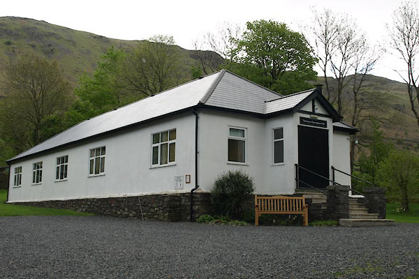 |
NY31851892 Thirlmere Recreational Hall (St John's Castlerigg and Wythburn) |
 |
NY31201923 Embankment Cottages (St John's Castlerigg and Wythburn) |
 |
NY31911973 Legburthwaite Mill (St John's Castlerigg and Wythburn) |
