


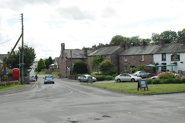
BVG84.jpg (taken 19.8.2011)
placename:- Greystoke
placename:- Greystok
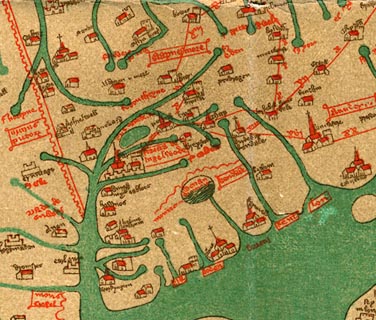 click to enlarge
Ggh1Cm.jpg
item:- JandMN : 33
Image © see bottom of page
placename:- Greystok
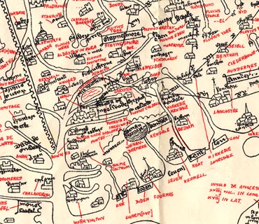 click to enlarge
Ggh2Cm.jpg
item:- JandMN : 34
Image © see bottom of page
placename:- Graistoke
 click to enlarge
Lld1Cm.jpg
"Graistoke"
item:- Hampshire Museums : FA1998.69
Image © see bottom of page
placename:- Graston
 click to enlarge
KER8.jpg
"Graston"
dot, circle and tower; village
item:- Dove Cottage : 2007.38.110
Image © see bottom of page
placename:- Grastock
 click to enlarge
SAN2Cm.jpg
"Grastock"
circle, building and tower, flag; town?
item:- Dove Cottage : 2007.38.15
Image © see bottom of page
placename:- Graystock
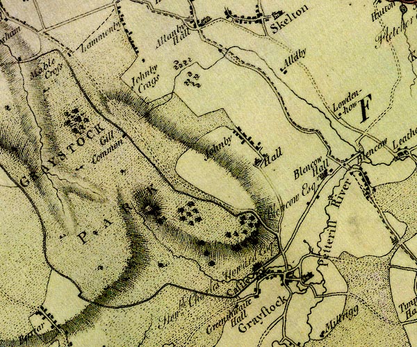
D4NY43SW.jpg
"Graystock"
blocks, and usually a church, labelled in upright lowercase; a village
item:- Carlisle Library : Map 2
Image © Carlisle Library
placename:- Greystock
 goto source
Addendum; Mr Gray's Journal, 1769
Page 202:- "..."
"Oct. 2. I set out at ten for Keswick [from Penrith], by the road we went in 1767; say (sic) Greystock town and castle to the right, which lie about three miles from Ulls-water over the fells; ..."
placename:- Greystock
 goto source
Page 55:- "It is worth while here to mention some singular customs in use at funerals in these environs. Notwithstanding some tenements in this dale are seven miles distant from Greystock, they are all obliged to bury their dead there: all the relations of the deceased who reside within twenty miles, and all the neighbours, attend the funeral. A dinner is provided for them, and after dinner two pennyworth of wheaten bread, and a piece of cheese (by way of viaticum I suppose) is given to each person: the corpse is then laid upon a bier, and carried upon the shoulders of those who attend by turns, (a piece of duty from which even the women are not exempted) till they arrive at a large stone at Greystock town-head: Here they set the coffin down, and from hence it is carried to the church, (which is distant near a mile) by six persons, upon napkins: during this last part of the procession, the parish-clerk and people sing a psalm before the body, and walk, (be the weather as bad as it will) with their hats off. After the corpse is interred the company retire to the ale-house, here they are again refreshed with bread and cheese, and ale."
"This method is invariably followed, whatever be the quality of the deceased; an instance of which I saw about three years ago, when a person of considerable property was thus carried from Lowside, (see plate V.) during a very deep snow: scarce any one present had a horse; and though the deceased was much respected, and left no children, (whose property might have been diminished by an expensive funeral,) he would not be prevailed upon to permit an hearse to be used, or omit any part of the old ceremonial, and this he expressly commanded before his death."
placename:- Graystock
 click to enlarge
GRA1Lk.jpg
"Graystock"
blocks, italic lowercase text, village, hamlet, locality
item:- Hampshire Museums : FA2000.62.5
Image © see bottom of page
placename:- Greystock
 click to enlarge
COP3.jpg
"Greystock"
circle; village or hamlet
item:- JandMN : 86
Image © see bottom of page
placename:- Greystoke
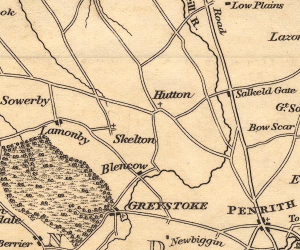
OT02NY43.jpg
"GREYSTOKE"
item:- JandMN : 48.1
Image © see bottom of page
placename:- Greystock
 goto source
Gentleman's Magazine 1819 part 1 p.507
From the Compendium of County History:- "Law, John, Bp. of Elphin, friend of Paley, Greystock, (died 1810.)"
 goto source
Gentleman's Magazine 1816 part 2 p.601
Biographical note from the Compendium of County History:- "Foster, Elizabeth, martyr, Greystock (burnt in Smithfield 1556)."
"..."
"Hudleston, John, catholic priest, preserver of Charles II. Greystock, 1608."
item:- geology
 goto source
Page 161:- "... the old red sandstone formation; ... whether it passes under or only abuts against the adjacent limestone, I have not yet myself had an opportunity of observing; but have been told that their junction may be seen near Shap Abbey; and in a quarry near Greystoke."
placename:- Greystoke
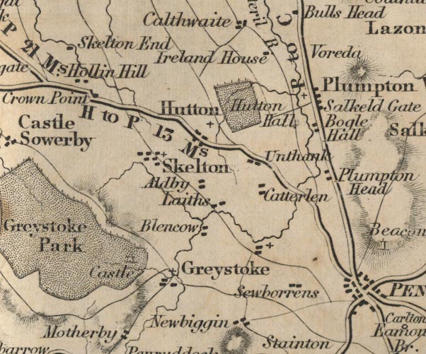
FD02NY43.jpg
"Greystoke"
item:- JandMN : 100.1
Image © see bottom of page
placename:- Greystoke
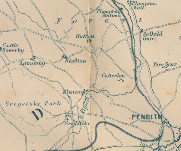
GAR2NY43.jpg
"Greystoke"
blocks, settlement, cross, a church
item:- JandMN : 82.1
Image © see bottom of page
placename:- Greystoke
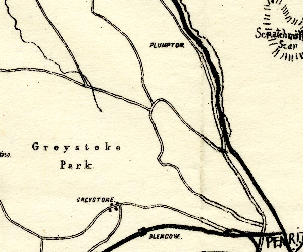
PST2NY43.jpg
"GREYSTOKE"
dots, roads
item:- JandMN : 162.2
Image © see bottom of page
item:- market
 Post Office maps
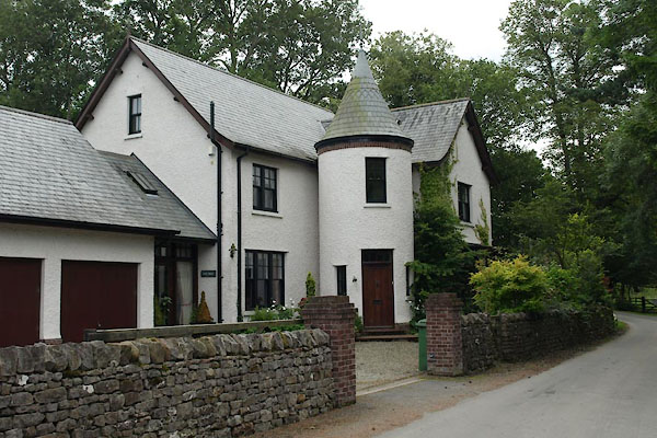 |
NY44263092 Blue Hills (Greystoke) |
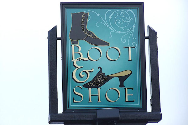 |
NY44003083 Boot and Shoe (Greystoke) L |
 |
NY44423067 bridge, Greystoke (Greystoke) |
 |
NY44703053 bridge, Greystoke (2) (Greystoke) |
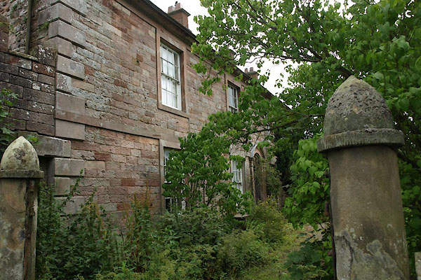 |
NY44043089 Bushby House (Greystoke) L |
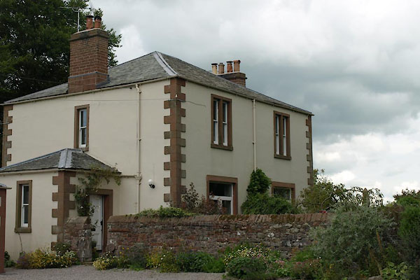 |
NY44313081 Church House (Greystoke) |
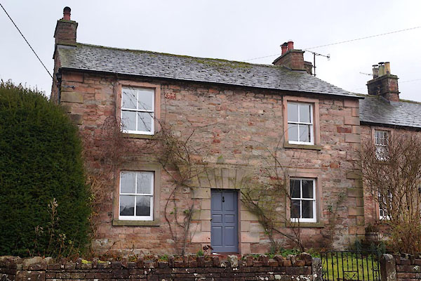 |
NY44013080 Church View (Greystoke) L |
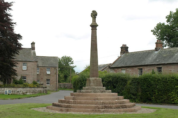 |
NY44013087 cross, Greystoke (Greystoke) L |
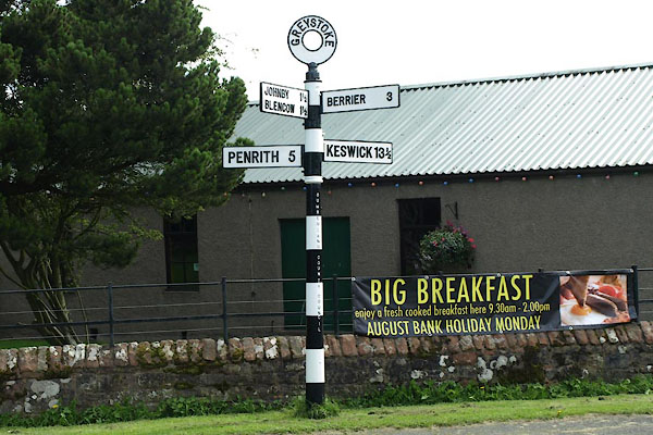 |
NY44043087 fingerpost, Greystoke (Greystoke) |
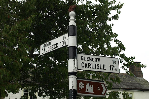 |
NY43923125 fingerpost, Greystoke (3) (Greystoke) |
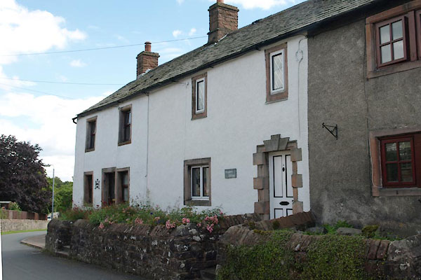 |
NY43903085 Foxglove Cottage (Greystoke) |
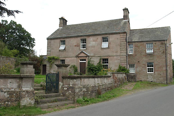 |
NY44013093 Garth, The (Greystoke) L |
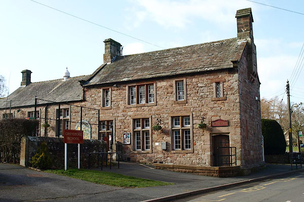 |
NY44023078 Greystoke School (Greystoke) L |
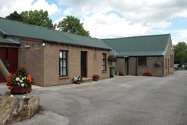 |
NY44043084 Greystoke Village Hall (Greystoke) |
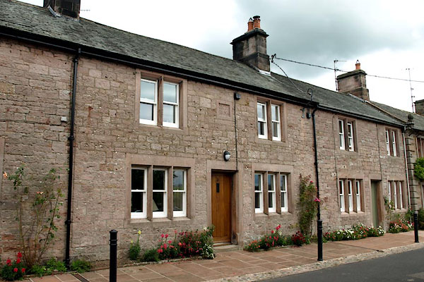 |
NY44063079 Greystoke: Church Road, 3 (Greystoke) |
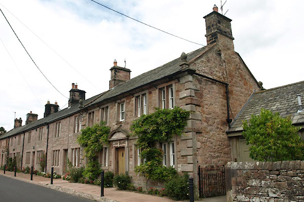 |
NY44083080 Greystoke: Church Road, 5 (Greystoke) L |
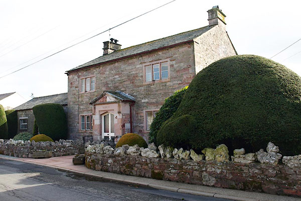 |
NY44093079 house, Greystoke (Greystoke) |
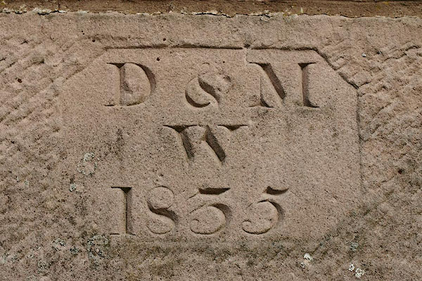 |
NY44043078 house, Greystoke (2) (Greystoke) |
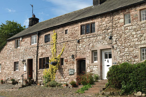 |
NY43843084 Inglenook Cottage (Greystoke) L |
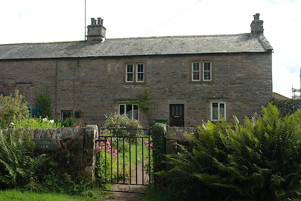 |
NY43663072 Lattendales Farm (Greystoke) L |
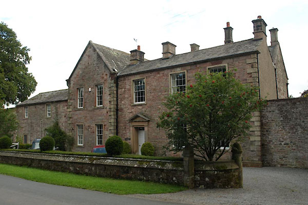 |
NY43733077 Lattendales (Greystoke) L |
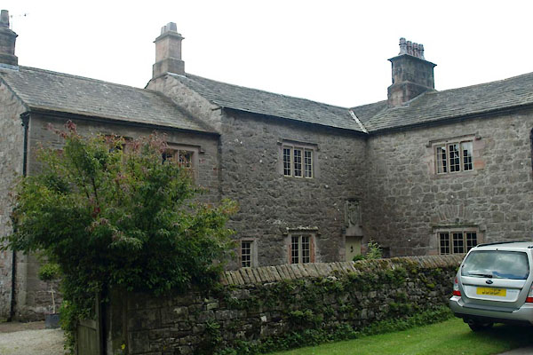 |
NY43593066 Layton Manor (Greystoke) L |
 |
NY43983090 lodge, Greystoke Castle (Greystoke) |
 |
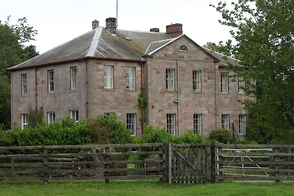
NY4330 Graystoke Mill (Greystoke) suggested |
 |
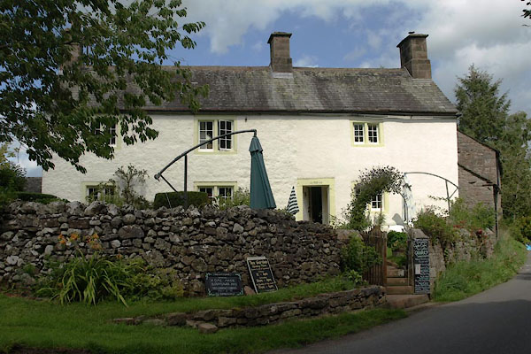
NY44413092 Old Rectory, The (Greystoke) L |
 |
NY43933126 Greystoke Cycle Cafe (Greystoke) L |
 |
NY43923123 Poplin (Greystoke) |
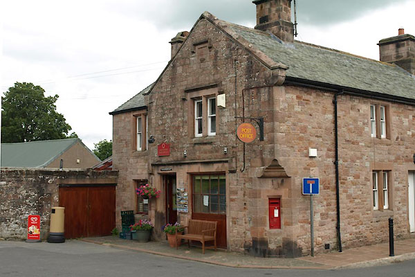 |
NY44043081 Greystoke Post Office (Greystoke) L |
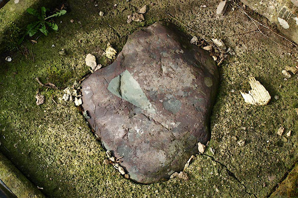 |
NY44193079 Sanctuary Stone (Greystoke) |
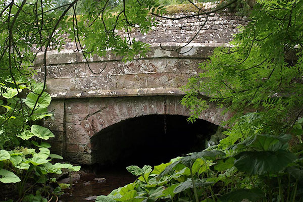 |
NY44003105 Sharkey Bridge, Greystoke (Greystoke) |
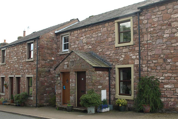 |
NY43973085 Smithy Cottages (Greystoke) |
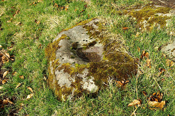 |
NY44323086 Spillers Stone (Greystoke) |
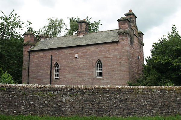 |
NY43983105 Stafford House (Greystoke) L |
 |
NY44013087 stocks, Greystoke (Greystoke) gone |
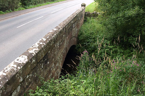 |
NY44163093 Thorpe Bridge (Greystoke) |
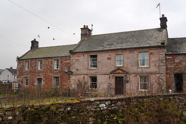 |
NY44223108 Thorpe Farm (Greystoke) L |
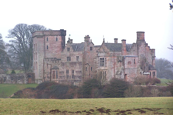 |
NY43543089 Greystoke Castle (Greystoke) L |
 |
NY4430 Greystoke College (Greystoke) |
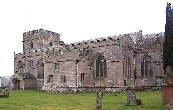 |
NY44323079 St Andrew's Church (Greystoke) L |
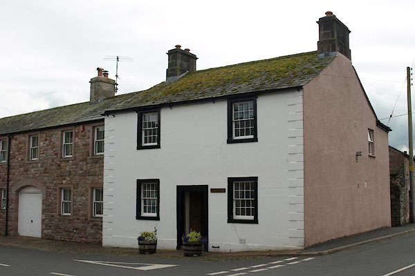 |
NY44043078 Crossways (Greystoke) L |
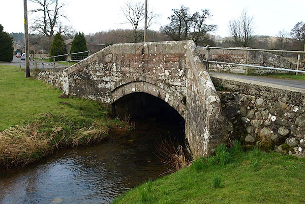 |
NY44243078 War Memorial Bridge (Greystoke) L |
