 |
 |
   |
|
|
|
|
| civil parish:- |
Lakes (formerly Westmorland) |
| county:- |
Cumbria |
| locality type:- |
locality |
| locality type:- |
buildings |
| coordinates:- |
NY32780479 (etc) |
| 1Km square:- |
NY3204 |
| 10Km square:- |
NY30 |
|
|
|
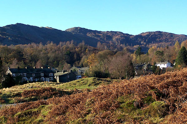
BLK17.jpg (taken 17.11.2005)
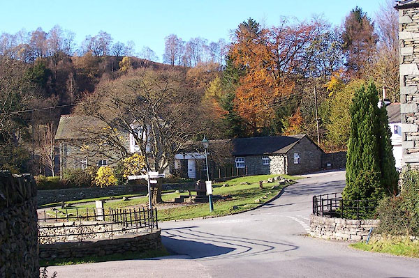
BLK18.jpg (taken 17.11.2005)
|
|
|
| evidence:- |
old map:- OS County Series (Wmd 25 8)
placename:- Elterwater
|
| source data:- |
Maps, County Series maps of Great Britain, scales 6 and 25
inches to 1 mile, published by the Ordnance Survey, Southampton,
Hampshire, from about 1863 to 1948.
|
|
|
| evidence:- |
old map:- Jefferys 1770 (Wmd)
placename:- Elter Watter
|
| source data:- |
Map, 4 sheets, The County of Westmoreland, scale 1 inch to 1
mile, surveyed 1768, and engraved and published by Thomas
Jefferys, London, 1770.
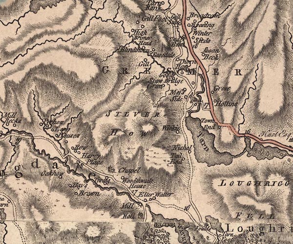
J5NY30NW.jpg
"Elter Watter"
circle, labelled in italic lowercase text; settlement, farm, house, or hamlet?
item:- National Library of Scotland : EME.s.47
Image © National Library of Scotland |
|
|
| evidence:- |
old map:- Cary 1789 (edn 1805)
placename:- Elder Water
|
| source data:- |
Map, uncoloured engraving, Westmoreland, scale about 2.5 miles
to 1 inch, by John Cary, London, 1789; edition 1805.
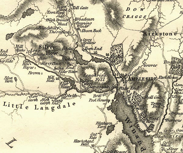
CY24NY30.jpg
"Elder Water"
block/s, labelled in italic lowercase; house, or hamlet
item:- JandMN : 129
Image © see bottom of page
|
|
|
| evidence:- |
descriptive text:- Otley 1823 (5th edn 1834)
|
| source data:- |
Guide book, A Concise Description of the English Lakes, the
mountains in their vicinity, and the roads by which they may be
visited, with remarks on the mineralogy and geology of the
district, by Jonathan Otley, published by the author, Keswick,
Cumberland now Cumbria, by J Richardson, London, and by Arthur
Foster, Kirkby Lonsdale, Cumbria, 1823; published 1823-49,
latterly as the Descriptive Guide to the English Lakes.
 goto source goto source
Page 32:- "..."
"Elterwater is one of the largest of the Tarns; and having given its name to a small
hamlet in Langdale, it became necessary in speaking of"
 goto source goto source
Page 33:- "the water itself, to add the word tarn by way of distinction. ..."
|
|
|
| evidence:- |
old map:- Post Office 1850s-1900s
placename:- Elterwater
|
| source data:- |
Post road maps, General Post Office Circulation Map for England
and Wales, for the General Post Office, London, 1850s-1900s.
 click to enlarge click to enlarge
POF7Cm.jpg
"Elterwater"
map date 1909
|
|
|
| evidence:- |
old map:- Post Office 1850s-1900s
placename:- Elterwater
|
| source data:- |
Post road maps, General Post Office Circulation Map for England
and Wales, for the General Post Office, London, 1850s-1900s.
 click to enlarge click to enlarge
PF10Cm.jpg
"Elterwater"
map date 1892
|
|
|
| evidence:- |
old map:- Post Office 1850s-1900s
placename:- Elterwater
|
| source data:- |
Post road maps, General Post Office Circulation Map for England
and Wales, for the General Post Office, London, 1850s-1900s.
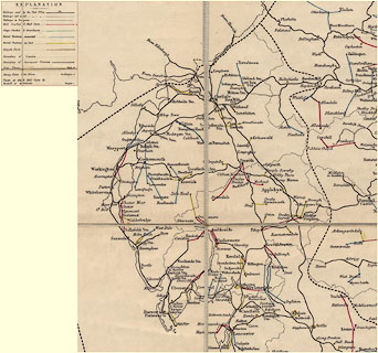 click to enlarge click to enlarge
POF2Cm.jpg
"Elterwater"
map date 1890
|
|
|
:-
|
images courtesy of the British Postal Museum and Hampshire CC Museums
|
|
|
| places:- |
 |
NY31750445 Banks Quarry (Lakes) |
|
|
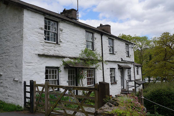 |
NY32760472 Beck Steps (Lakes) L |
|
|
 |
NY32670440 Birch Hill (Lakes) |
|
|
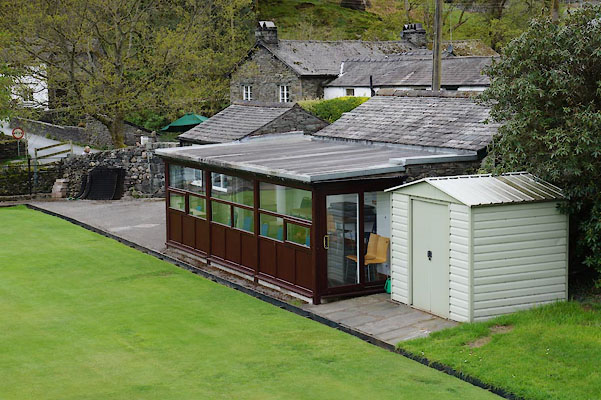 |
NY32810478 King George's Field (Lakes) |
|
|
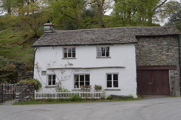 |
NY32730474 Bridge End (Lakes) L |
|
|
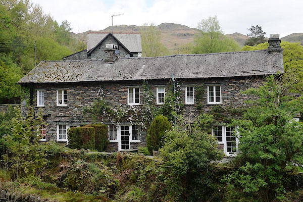 |
NY32750477 Bridge Syke (Lakes) L |
|
|
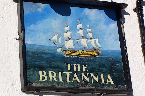 |
NY32780483 Britannia (Lakes) L |
|
|
 |
NY33060386 Carr Howes (Lakes) |
|
|
 |
NY31610439 Dale End Quarry (Lakes) |
|
|
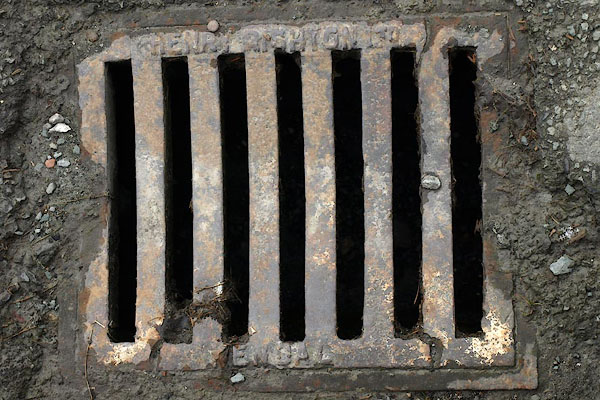 |
NY32800481 drain, Elterwater (Lakes) |
|
|
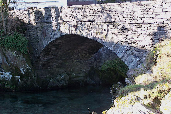 |
NY32750475 Elterwater Bridge (Lakes) L |
|
|
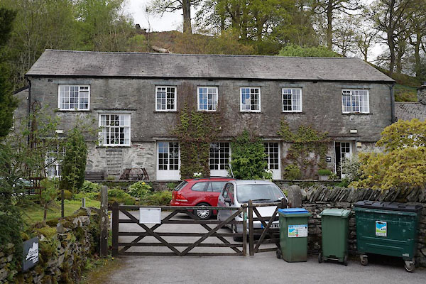 |
NY32730467 Elterwater Hostel (Lakes) |
|
|
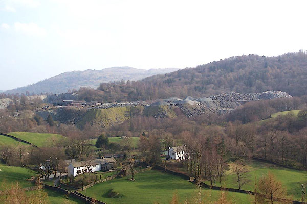 |
NY32330488 Elterwater Quarries (Lakes) |
|
|
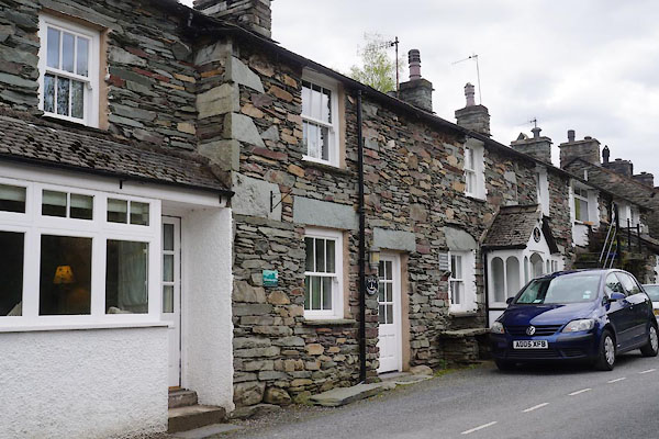 |
NY32840486 Elterwater: Main Street (Lakes) L |
|
|
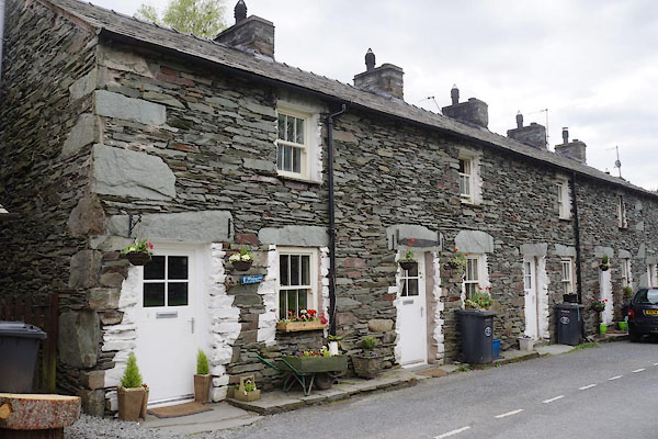 |
NY32820483 Elterwater: Mill Street (Lakes) L |
|
|
 |
NY32310493 Fir Bank (Lakes) L |
|
|
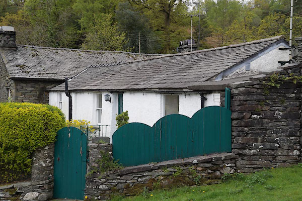 |
NY32760478 Greenend (Lakes) L |
|
|
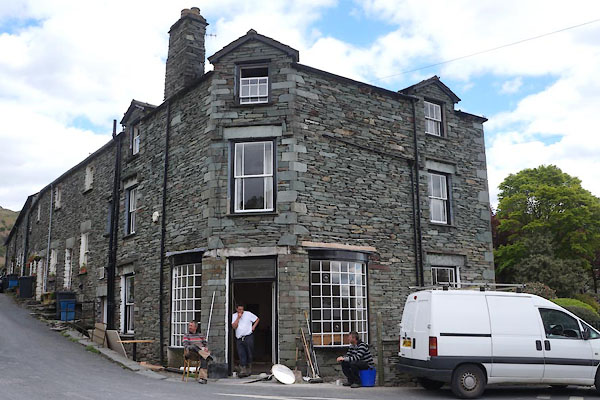 |
NY32810482 Maple Tree Corner (Lakes) L |
|
|
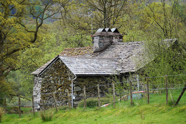 |
NY32790457 Kitty Hall (Lakes) L |
|
|
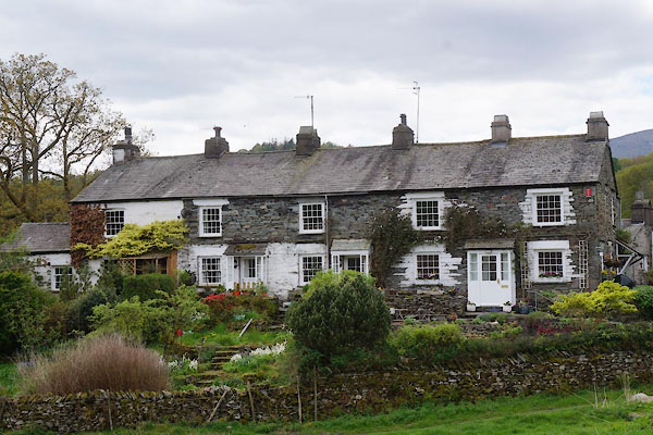 |
NY32980480 Lane Ends (Lakes) |
|
|
 |
NY32350482 Lord's Quarry (Lakes) |
|
|
 |
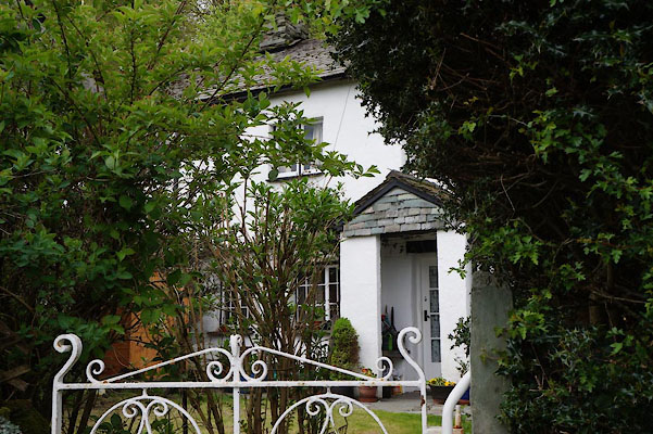
NY32750474 Elterwater Mill (Lakes) suggested |
|
|
 |
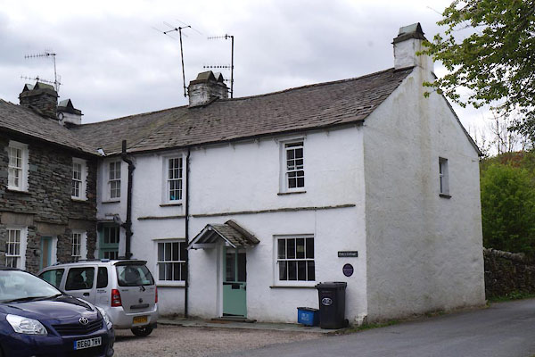
NY32730469 Old Farm Cottage (Lakes) L |
|
|
 |
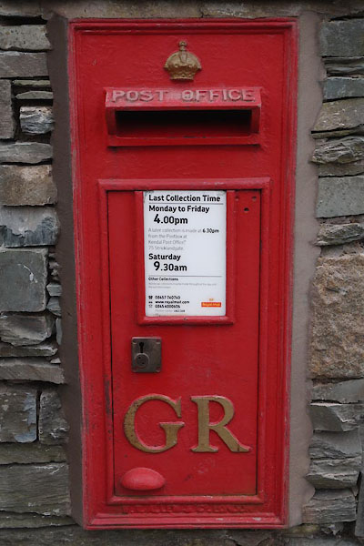
NY32950482 Polly's Cottage (Lakes) |
|
|
 |
NY32810482 post box, Elterwater (Lakes) |
|
|
 |
NY33100506 Walthwaite Bottom (Lakes) |
|
|
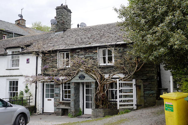 |
NY32820482 Wistaria Cottage (Lakes) L |
|
|
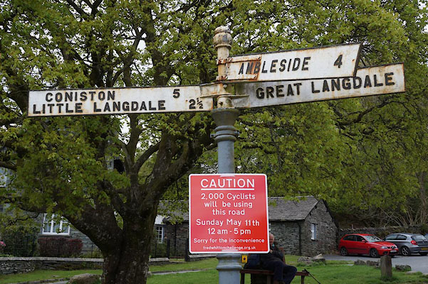 |
NY32790480 fingerpost, Elterwater (Lakes) |
|
|
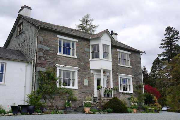 |
NY32750446 Eltermere Hotel (Lakes) L |
|
|
 |
NY32850487 Elterwater Post Office (Lakes) |
|
|
 |
NY32640496 Elterwater Gunpowder Mills (Lakes) gone |
|


 goto source
 goto source
 click to enlarge
 click to enlarge
 click to enlarge


