Elter Water | ||||||||||||||||||||||||||
runs into:- | Brathay, River | |||||||||||||||||||||||||
|
||||||||||||||||||||||||||
civil parish:- | Lakes (formerly Westmorland) | |||||||||||||||||||||||||
county:- | Cumbria | |||||||||||||||||||||||||
locality type:- | lake | |||||||||||||||||||||||||
coordinates:- | NY33360415 (etc) | |||||||||||||||||||||||||
1Km square:- | NY3304 | |||||||||||||||||||||||||
10Km square:- | NY30 | |||||||||||||||||||||||||
|
||||||||||||||||||||||||||
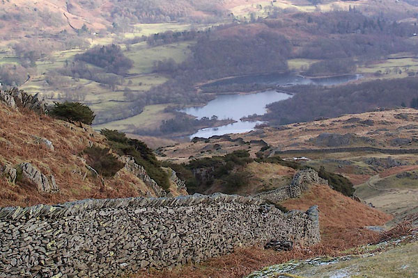
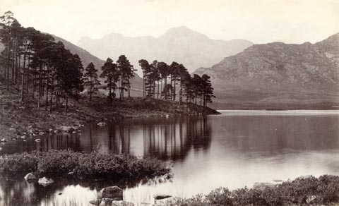
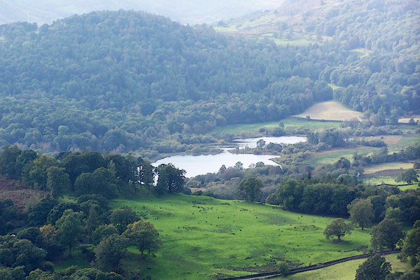
BSC72.jpg From Lingmoor. (taken 1.2.2010) BPS49.jpg From Loughrigg. (taken 6.10.2008) |
||||||||||||||||||||||||||
|
||||||||||||||||||||||||||
evidence:- | old map:- OS County Series (Lan 2 1) placename:- Elter Water |
|||||||||||||||||||||||||
source data:- | Maps, County Series maps of Great Britain, scales 6 and 25
inches to 1 mile, published by the Ordnance Survey, Southampton,
Hampshire, from about 1863 to 1948. OS County Series (Wmd 25 12) |
|||||||||||||||||||||||||
|
||||||||||||||||||||||||||
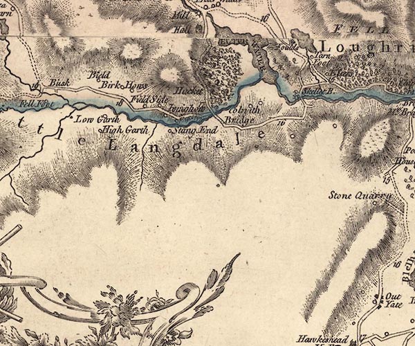
evidence:- | old map:- Jefferys 1770 (Wmd) placename:- Elter Water |
|||||||||||||||||||||||||
source data:- | Map, 4 sheets, The County of Westmoreland, scale 1 inch to 1
mile, surveyed 1768, and engraved and published by Thomas
Jefferys, London, 1770. J5NY30SW.jpg "ELTER WATER" outline with form lines; lake or tarn item:- National Library of Scotland : EME.s.47 Image © National Library of Scotland |
|||||||||||||||||||||||||
|
||||||||||||||||||||||||||
evidence:- | descriptive text:- West 1778 (11th edn 1821) |
|||||||||||||||||||||||||
source data:- | Guide book, A Guide to the Lakes, by Thomas West, published by
William Pennington, Kendal, Cumbria once Westmorland, and in
London, 1778 to 1821. goto source Rev Plumtre's Night Piece on Windermere, 1797 Page 230:- "..." "Say, Brathay, as I walk your side, / List'ning to your murmuring tide, / What sights, what wonders have you seen, / Passing your barrier hills between? / View'd you old Langdale's solid towers,[1] / And Elter-water's peaceful bowers; / Where the quarry's yawning scar / Hangs hideous in the midnight air! / ..." goto source Page 231:- "[1] The river Brathay is formed chiefly from two steams,- the one rising in Little Langdale, the other in Great Langdale, where it passes the Pikes and the slate quarry: these join in the small lake of Elter-water. ..." |
|||||||||||||||||||||||||
|
||||||||||||||||||||||||||
evidence:- | old map:- West 1784 map placename:- Elter Water |
|||||||||||||||||||||||||
source data:- | Map, hand coloured engraving, A Map of the Lakes in Cumberland,
Westmorland and Lancashire, scale about 3.5 miles to 1 inch,
engraved by Paas, 53 Holborn, London, about 1784. Ws02NY30.jpg item:- Armitt Library : A1221.1 Image © see bottom of page |
|||||||||||||||||||||||||
|
||||||||||||||||||||||||||
evidence:- | old map:- Cary 1789 (edn 1805) placename:- Elter Water |
|||||||||||||||||||||||||
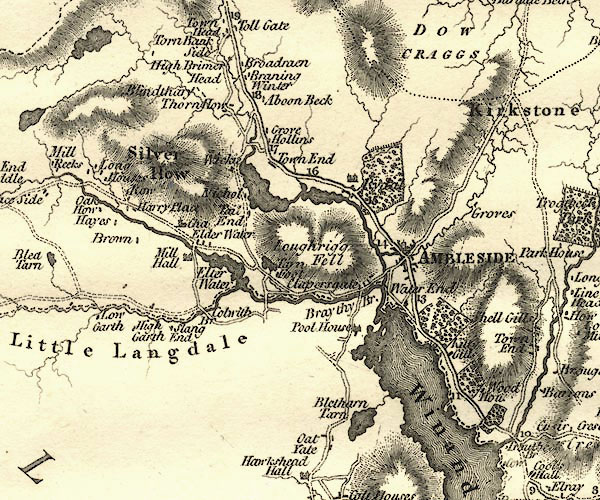
source data:- | Map, uncoloured engraving, Westmoreland, scale about 2.5 miles
to 1 inch, by John Cary, London, 1789; edition 1805. CY24NY30.jpg "Elter Water" outline with shore form lines; lake or tarn item:- JandMN : 129 Image © see bottom of page |
|||||||||||||||||||||||||
|
||||||||||||||||||||||||||
evidence:- | old map:- Cooke 1802 placename:- Elter Water |
|||||||||||||||||||||||||
source data:- | Map, The Lakes, Westmorland and Cumberland, scale about 8.5
miles to 1 inch, engravedby Neele and Son, published by
Sherwood, Jones and Co, Paternoster Road, London, 1824. click to enlarge GRA1Lk.jpg "Elter Water" outline with form lines; lake or tarn item:- Hampshire Museums : FA2000.62.5 Image © see bottom of page |
|||||||||||||||||||||||||
|
||||||||||||||||||||||||||
evidence:- | probably old map:- Cooke 1802 |
|||||||||||||||||||||||||
source data:- | Map, Westmoreland ie Westmorland, scale about 12 miles to 1
inch, by George Cooke, 1802, published by Sherwood, Jones and
Co, Paternoster Road, London, 1824. click to enlarge GRA1Wd.jpg outline with form lines; lake or tarn item:- Hampshire Museums : FA2000.62.4 Image © see bottom of page |
|||||||||||||||||||||||||
|
||||||||||||||||||||||||||
evidence:- | old map:- Laurie and Whittle 1806 placename:- Elter Water |
|||||||||||||||||||||||||
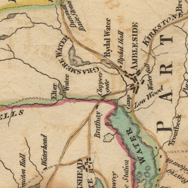
source data:- | Road map, Completion of the Roads to the Lakes, scale about 10
miles to 1 inch, by Nathaniel Coltman? 1806, published by Robert
H Laurie, 53 Fleet Street, London, 1834. click to enlarge Lw18.jpg "Elter Water" lake item:- private collection : 18.18 Image © see bottom of page |
|||||||||||||||||||||||||
|
||||||||||||||||||||||||||
evidence:- | probably old map:- Cooper 1808 |
|||||||||||||||||||||||||
source data:- | Map, hand coloured engraving, Westmoreland ie Westmorland, scale
about 9 miles to 1 inch, by H Cooper, 1808, published by R
Phillips, Bridge Street, Blackfriars, London, 1808. click to enlarge COP4.jpg outline, shaded; lake item:- Dove Cottage : 2007.38.53 Image © see bottom of page |
|||||||||||||||||||||||||
|
||||||||||||||||||||||||||
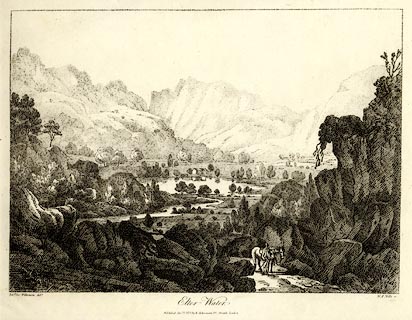
evidence:- | old print:- Wilkinson 1810 (plate 13) placename:- Elter Water item:- horse |
|||||||||||||||||||||||||
source data:- | Print, uncoloured soft ground etching, Elter Water, Westmorland, by Joseph Wilkinson,
engraved by William Frederick Wells, published by R Ackermann, Repository of Arts,
101 Strand, London, 1810. click to enlarge WKN113.jpg Plate 13 in Select Views in Cumberland, Westmoreland, and Lancashire. printed at bottom left, right, centre:- "Revd. Jos: Wilkenson delt. / W. F. Wells sc. / Elter Water. / Published Decr. 1. 1810. by R. Ackermann. 101. Strand. London." item:- Fell and Rock Climbing Club : MN4.13 Image © see bottom of page |
|||||||||||||||||||||||||
|
||||||||||||||||||||||||||
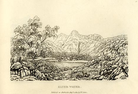
evidence:- | old print:- Green 1814 (plate 18) placename:- Elter Water |
|||||||||||||||||||||||||
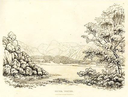
source data:- | Print, uncoloured soft ground etching, Elter Water, Westmorland, by William Green,
Ambleside, Westmorland, 1814. click to enlarge GN0918.jpg Plate 18 in Sixty Small Prints. printed at top right:- "18" printed at bottom:- "ELTER WATER. / Published at Ambleside Augst. 1, 1814, by Wm. Green." item:- Armitt Library : A6656.18 Image © see bottom of page |
|||||||||||||||||||||||||
|
||||||||||||||||||||||||||
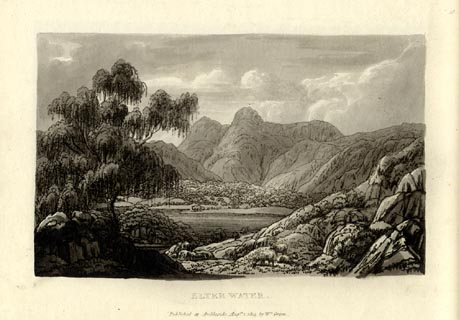
evidence:- | old print:- Green 1814 (plate 18) placename:- Elter Water |
|||||||||||||||||||||||||
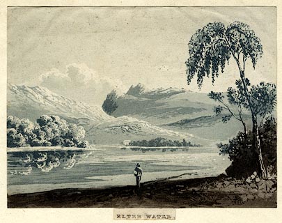
source data:- | Print, tinted soft ground etching, Elter Water, Westmorland, by William Green, Ambleside,
Westmorland, 1814. click to enlarge GN1018.jpg Plate 18 in Sixty Small Prints. printed at top right:- "18" printed at bottom:- "ELTER WATER. / Published at Ambleside Augst. 1, 1814, by Wm. Green." item:- Armitt Library : A6653.18 Image © see bottom of page |
|||||||||||||||||||||||||
|
||||||||||||||||||||||||||
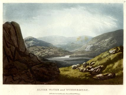
evidence:- | old print:- Green 1815 placename:- Elter Water item:- sheep |
|||||||||||||||||||||||||
source data:- | Print, coloured aquatint, Elter Water and Windermere, Westmorland, by William Green,
Ambleside, Westmorland, 1815. click to enlarge GN0514.jpg Plate 15 in Lake Scenery. printed at upper right:- "15" printed at bottom:- "ELTER WATER and WINDERMERE. / Published at Ambleside, June 1, 1815, by Wm. Green." item:- Armitt Library : A6646.14 Image © see bottom of page |
|||||||||||||||||||||||||
|
||||||||||||||||||||||||||
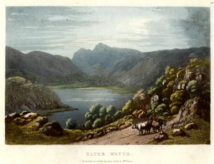
evidence:- | old print:- Green 1815 placename:- Elter Water item:- cattle; clouds |
|||||||||||||||||||||||||
source data:- | Print, coloured aquatint, Elter Water, Westmorland, by William Green, Ambleside, Westmorland,
1815. click to enlarge GN0515.jpg Plate 16 in Lake Scenery. printed at upper right:- "16" printed at bottom:- "ELTER WATER. / Published at Ambleside, June 1, 1815, by Wm. Green." item:- Armitt Library : A6646.15 Image © see bottom of page |
|||||||||||||||||||||||||
|
||||||||||||||||||||||||||
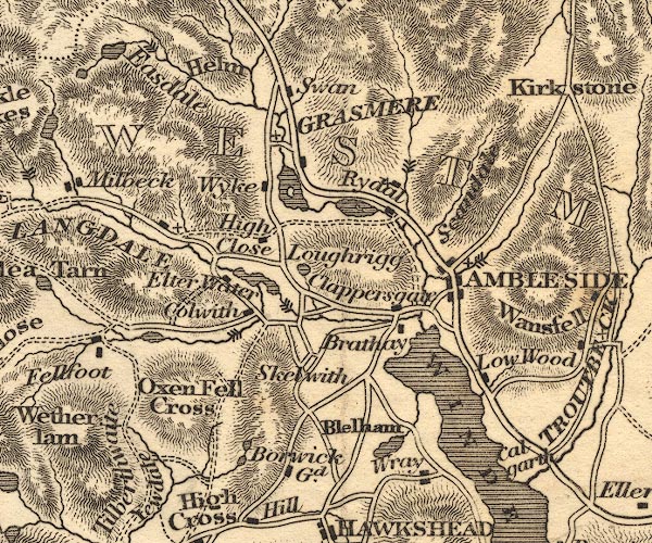
evidence:- | old map:- Otley 1818 placename:- Elter Water |
|||||||||||||||||||||||||
source data:- | Map, uncoloured engraving, The District of the Lakes,
Cumberland, Westmorland, and Lancashire, scale about 4 miles to
1 inch, by Jonathan Otley, 1818, engraved by J and G Menzies,
Edinburgh, Scotland, published by Jonathan Otley, Keswick,
Cumberland, et al, 1833. OT02NY30.jpg item:- JandMN : 48.1 Image © see bottom of page |
|||||||||||||||||||||||||
|
||||||||||||||||||||||||||
evidence:- | descriptive text:- Otley 1823 (5th edn 1834) placename:- Elterwater Tarn item:- fishing; trout; pike |
|||||||||||||||||||||||||
source data:- | Guide book, A Concise Description of the English Lakes, the
mountains in their vicinity, and the roads by which they may be
visited, with remarks on the mineralogy and geology of the
district, by Jonathan Otley, published by the author, Keswick,
Cumberland now Cumbria, by J Richardson, London, and by Arthur
Foster, Kirkby Lonsdale, Cumbria, 1823; published 1823-49,
latterly as the Descriptive Guide to the English Lakes. goto source Page 32:- "..." "Elterwater is one of the largest of the Tarns; and having given its name to a small hamlet in Langdale, it became necessary in speaking of" goto source Page 33:- "the water itself, to add the word tarn by way of distinction. It is nearly a mile in length, and divided into three parts. By the sudden influx of water from the two Langdales, the low meadows on its margin are frequently overflowed, and rendered wet and swampy. To obviate this, great pains have lately been taken in opening its outlet; by which means the dimensions of the water have been greatly contracted; and the fishery of trout has been nearly annihilated by the introduction of that voracious fish the pike. ..." |
|||||||||||||||||||||||||
|
||||||||||||||||||||||||||
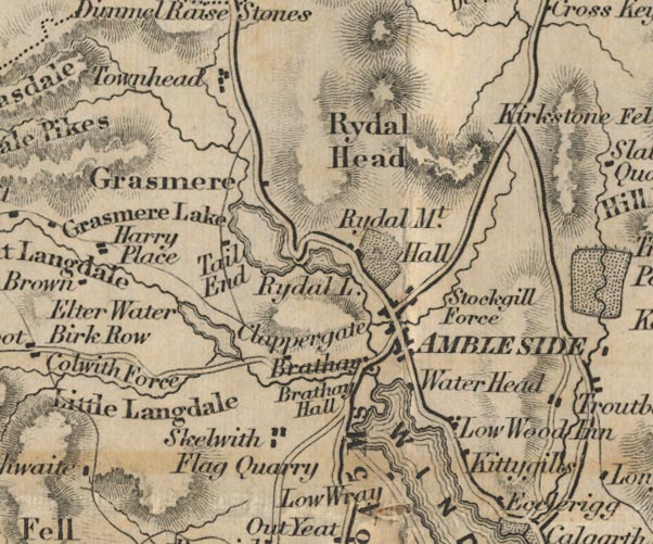
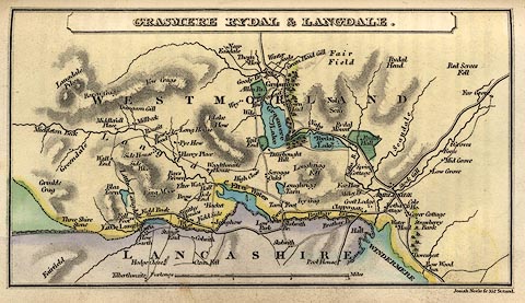
evidence:- | old map:- Leigh 1830 map |
|||||||||||||||||||||||||
source data:- | Map, Grasmere Rydal and Langdale, scale about 1.5 miles to 1
inch, engraved by Josiah Neele, 352 Strand, published by Leigh
and Son, 421 Strand, London, about 1830. click to enlarge LE04.jpg item:- JandMN : 1.3 Image © see bottom of page |
|||||||||||||||||||||||||
|
||||||||||||||||||||||||||
evidence:- | descriptive text:- Ford 1839 (3rd edn 1843) placename:- Elter Water Tarn placename:- Elter Water item:- depth, Elter Water |
|||||||||||||||||||||||||
source data:- | Guide book, A Description of Scenery in the Lake District, by
Rev William Ford, published by Charles Thurnam, Carlisle, by W
Edwards, 12 Ave Maria Lane, Charles Tilt, Fleet Street, William
Smith, 113 Fleet Street, London, by Currie and Bowman,
Newcastle, by Bancks and Co, Manchester, by Oliver and Boyd,
Edinburgh, and by Sinclair, Dumfries, 1839. goto source Page 39:- "..." "Elter Water Tarn has low marshy shores, frequently inundated by its waters; seen in conjunction with Windermere, it, however, forms a beautiful picture. ..." goto source Page 177:- "A TABLE" "OF THE LENGTH, BREADTH, &c. OF THE LAKES," "COLLECTED FROM DIFFERENT AUTHORITIES."
|
|||||||||||||||||||||||||
|
||||||||||||||||||||||||||
evidence:- | old map:- Ford 1839 map placename:- Elter Water |
|||||||||||||||||||||||||
source data:- | Map, uncoloured engraving, Map of the Lake District of
Cumberland, Westmoreland and Lancashire, scale about 3.5 miles
to 1 inch, published by Charles Thurnam, Carlisle, and by R
Groombridge, 5 Paternoster Row, London, 3rd edn 1843. FD02NY30.jpg "Elter Water" Outline with form lines. item:- JandMN : 100.1 Image © see bottom of page |
|||||||||||||||||||||||||
|
||||||||||||||||||||||||||
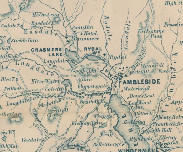
evidence:- | old map:- Garnett 1850s-60s H placename:- Elter Water |
|||||||||||||||||||||||||
source data:- | Map of the English Lakes, in Cumberland, Westmorland and
Lancashire, scale about 3.5 miles to 1 inch, published by John
Garnett, Windermere, Westmorland, 1850s-60s. GAR2NY30.jpg "Elter Water" outline with shore form lines, lake or tarn item:- JandMN : 82.1 Image © see bottom of page |
|||||||||||||||||||||||||
|
||||||||||||||||||||||||||
evidence:- | old text:- Martineau 1855 placename:- Elterwater |
|||||||||||||||||||||||||
source data:- | Guide book, A Complete Guide to the English Lakes, by Harriet
Martineau, published by John Garnett, Windermere, Westmorland,
and by Whittaker and Co, London, 1855; published 1855-76. goto source Page 19:- "..." "... the Brathay, which issues from Elterwater, a group of pools, rather than a lake, lying at the foot of the hills near Langdale. ..." |
|||||||||||||||||||||||||
|
||||||||||||||||||||||||||
evidence:- | old print:- Nelson 1859 placename:- Elterwater |
|||||||||||||||||||||||||
source data:- | Print, Nelson print, Elterwater, Westmorland, published by T Nelson and Sons, London
etc, 1859. click to enlarge NS0513.jpg printed, bottom "ELTERWATER." item:- Armitt Library : 2003.13.13 Image © see bottom of page |
|||||||||||||||||||||||||
|
||||||||||||||||||||||||||
evidence:- | old map:- Jenkinson 1875 map1 placename:- |
|||||||||||||||||||||||||
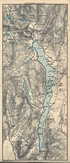
source data:- | Map, Windermere Section, Westmorland and Lancashire, ?colour
lithograph, scale about 1 mile to 1 inch, by Stanford's
Geographical Establishment, published by Edward Stanford, 55
Charing Cross, London, 1875. click to enlarge JK04.jpg item:- JandMN : 28.3 Image © see bottom of page |
|||||||||||||||||||||||||
|
||||||||||||||||||||||||||
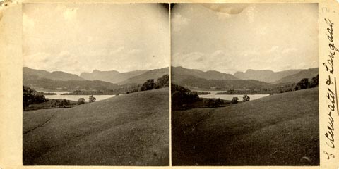
evidence:- | old photograph:- Bell 1880s-1940s |
|||||||||||||||||||||||||
source data:- | Photograph, black and white, stereo photo, Elterwater and Langdale, Westmorland, by
Herbert Bell, photographer, Ambleside, Westmorland, 1900s? click to enlarge HB0964.jpg printed at rev of mount:- "Herbert Bell / Ambleside." ms at mount:- "Elterwater &Langdale" item:- Armitt Library : 2003.162.5 Image © see bottom of page |
|||||||||||||||||||||||||
|
||||||||||||||||||||||||||
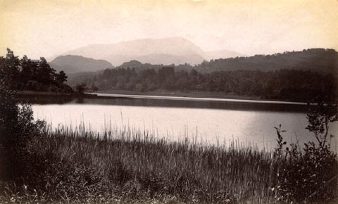
evidence:- | old photograph:- Bell 1880s-1940s item:- reflections |
|||||||||||||||||||||||||
source data:- | Photograph, sepia, Elter Water, Westmorland, by Herbert Bell, photographer, Ambleside,
Westmorland, 1890s. click to enlarge HB0637.jpg internegative at lower right:- "H. Bell" item:- Armitt Library : ALPS299 Image © see bottom of page |
|||||||||||||||||||||||||
|
||||||||||||||||||||||||||
evidence:- | old photograph:- Bell 1880s-1940s |
|||||||||||||||||||||||||
source data:- | Photograph, sepia, Elter Water and Wetherlam, Westmorland, by Herbert Bell, photographer,
Ambleside, Westmorland, 1890s. click to enlarge HB0639.jpg item:- Armitt Library : ALPS302 Image © see bottom of page |
|||||||||||||||||||||||||
|
||||||||||||||||||||||||||
evidence:- | old print:- Heaton Cooper 1905 (edn 1908) placename:- Elterwater |
|||||||||||||||||||||||||
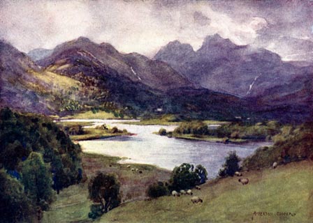
source data:- | Print, colour halftone, Elterwater and Langdale Pikes, Westmorland, from a watercolour
painting by Alfred Heaton Cooper, published by Adam and Charles Black, London, 2nd
edn 1908. click to enlarge HC0174.jpg Opposite p.220 of The English Lakes, painted by Alfred Heaton Cooper, described by William T Palmer. printed at tissue opposite the print:- "ELTERWATER AND LANGDALE PIKES" printed at signed lower right:- "A HEATON COOPER" item:- JandMN : 468.74 Image © see bottom of page |
|||||||||||||||||||||||||
|
||||||||||||||||||||||||||
evidence:- | old map:- Postlethwaite 1877 (3rd edn 1913) placename:- Elter Water |
|||||||||||||||||||||||||
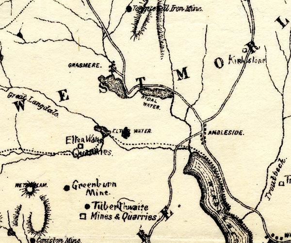
source data:- | Map, uncoloured engraving, Map of the Lake District Mining Field, Westmorland, Cumberland,
Lancashire, scale about 5 miles to 1 inch, by John Postlethwaite, published by W H
Moss and Sons, 13 Lowther Street, Whitehaven, Cumberland, 1877 edn 1913. PST2NY30.jpg "ELTER WATER" lake item:- JandMN : 162.2 Image © see bottom of page |
|||||||||||||||||||||||||
|
||||||||||||||||||||||||||
evidence:- | old print:- Tattersall 1836 placename:- Elterwater |
|||||||||||||||||||||||||
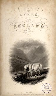
source data:- | A traveller and his horse by Elterwater on the title page of The Lakes of England,
by George Tattersall, published by Sherwood and Co, Paternoster Row, London, about
1836. click to enlarge TAT1T.jpg item:- Armitt Library : A1204 Image © see bottom of page |
|||||||||||||||||||||||||
|
||||||||||||||||||||||||||
evidence:- | old print:- Rose 1832-35 (vol.2 no.1) placename:- Elterwater |
|||||||||||||||||||||||||
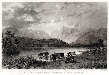
source data:- | Print, engraving, Elterwater, Great Langdale, Westmorland, by Thomas Allom, engraved
by le Petit, 1833. click to enlarge PR0415.jpg Vol.2 no.1 in Westmorland, Cumberland, Durham and Northumberland Illustrated, with descriptions by Thomas Rose, published by H Fisher, R Fisher, and P Jackson, Newgate, London, about 1835. printed at bottom left, right, centre:- "T. Allom. / W. Le Petit. / ELTERWATER, GREAT LANGDALE, WESTMORLAND." item:- Dove Cottage : 2008.107.408 Image © see bottom of page |
|||||||||||||||||||||||||
|
||||||||||||||||||||||||||
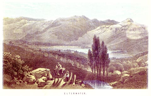
evidence:- | old print:- placename:- Elter Water |
|||||||||||||||||||||||||
source data:- | Print, coloured aquatint, Elter Water, Westmorland, published about 1820? click to enlarge PR0434.jpg printed at bottom:- "ELTER WATER." item:- private collection : 98 Image © see bottom of page |
|||||||||||||||||||||||||
|
||||||||||||||||||||||||||
evidence:- | old print:- Green 1809 placename:- Elter Water |
|||||||||||||||||||||||||
source data:- | Print, soft ground etching, Elter Water, Westmorland, by William Green, published
by William Green, Ambleside, Westmorland, and Longman, Hurst, Rees and Orme, Paternoster
Row, London, 1809. click to enlarge GN0350.jpg Plate 50 in Seventy Eight Studies from Nature. printed in introductory pages to set of prints:- "Number 50. Elter Water, in Langdale, is four miles from Ambleside. The house at the head of the lake is Elter water Hall, the property of the Rev. Mr. Byrom, but at present the residence of Mrs. Fleming. Langdale Pikes are the last mountains in this scene." printed at bottom:- "ELTER WATER. / Published Ambleside, Augst. 1st. 1809, by W. Green." item:- Armitt Library : A6637.50 Image © see bottom of page |
|||||||||||||||||||||||||
|