


placename:- Casterton
placename:- Casterton
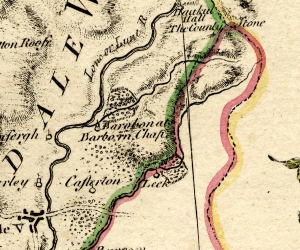
BO18SD68.jpg
"Casterton"
circle and line
item:- Armitt Library : 2008.14.10
Image © see bottom of page
placename:- Casterton
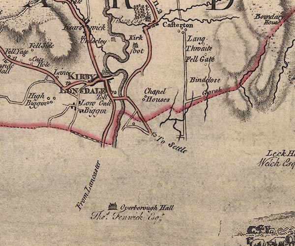
J5SD67NW.jpg
"Casterton"
blocks, labelled in upright lowercase text; settlement; town?
item:- National Library of Scotland : EME.s.47
Image © National Library of Scotland
 goto source
Tour to the Caves in the West Riding of Yorkshire, late 18th century
Page 243:- "..."
"... The Roman road is easily traced from Ribchester ... to Overborough; afterwards the Roman road goes through Casterton and Middleton, and, as some think, by Borrow-bridge and Orton, to Apulby."
placename:- Casterton
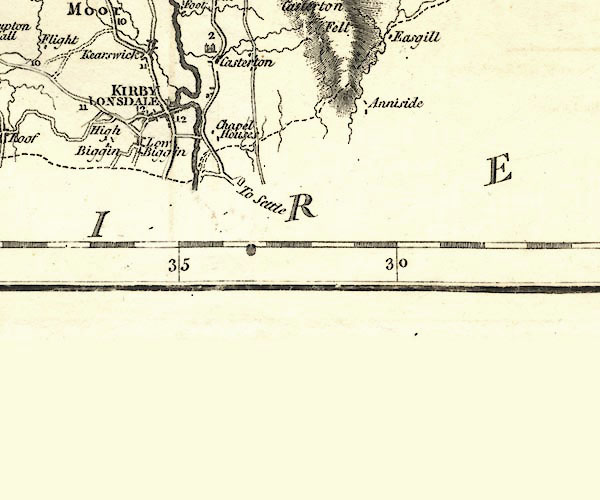
CY24SD67.jpg
"Casterton"
block/s, labelled in italic lowercase; house, or hamlet
item:- JandMN : 129
Image © see bottom of page
placename:- Casterton
 goto source
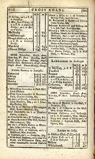 click to enlarge
C38659.jpg
page 659-660 "Casterton, Westm."
item:- JandMN : 228.2
Image © see bottom of page
placename:- Casterton
 click to enlarge
GRA1Wd.jpg
"Casterton"
blocks, italic lowercase text, village, hamlet, locality
item:- Hampshire Museums : FA2000.62.4
Image © see bottom of page
placename:- Casterton
 click to enlarge
COP4.jpg
"Casterton"
circle; village or hamlet
item:- Dove Cottage : 2007.38.53
Image © see bottom of page
placename:- Casterton
 click to enlarge
WAL5.jpg
"Casterton"
village, hamlet, house, ...
item:- JandMN : 63
Image © see bottom of page
placename:- Casterton
 click to enlarge
HA18.jpg
"Casterton"
circle, italic lowercase text; settlement
item:- Armitt Library : 2008.14.58
Image © see bottom of page
 goto source
Gentleman's Magazine 1825 part 1 p.513
From the Compendium of County History:- "Garnett, Dr. Thomas, physician and natural philosopher, Casterton, 1766."
placename:- Higher Casterton
placename:- Casterton, Higher
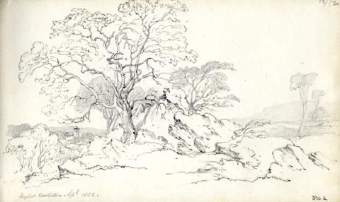 click to enlarge
AS0302.jpg
"Higher Casterton Apl 1852."
page number "13/(2a)"
item:- Armitt Library : 1958.390.2
Image © see bottom of page
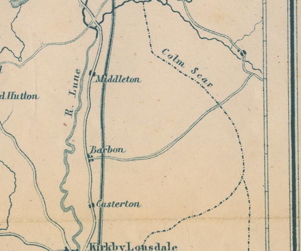
placename:- Casterton
GAR2SD68.jpg
"Casterton"
blocks, settlement
item:- JandMN : 82.1
Image © see bottom of page
placename:- Casterton
 click to enlarge
POF7Cm.jpg
"Casterton"
map date 1909
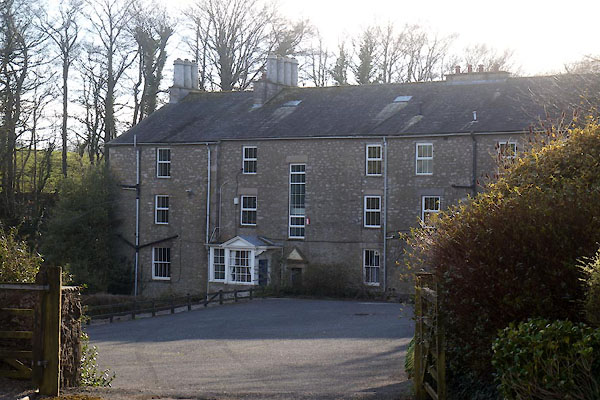 |
SD62317970 Bronte House (Casterton) |
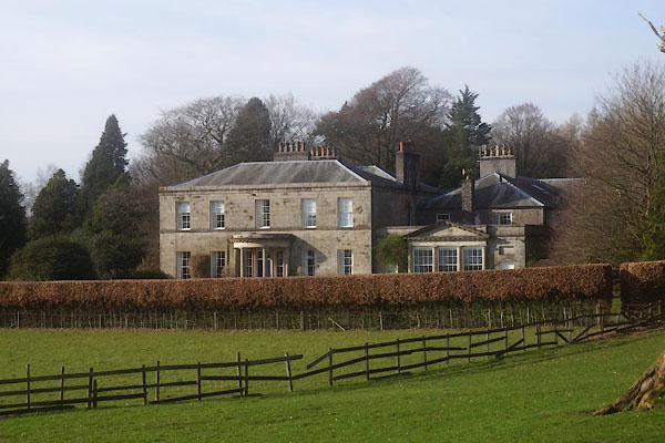 |
SD61957939 Casterton Hall (Casterton) L |
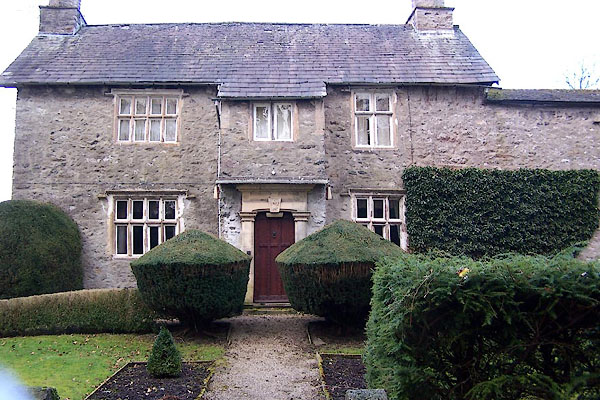 |
SD62367970 Casterton Old Hall (Casterton) L |
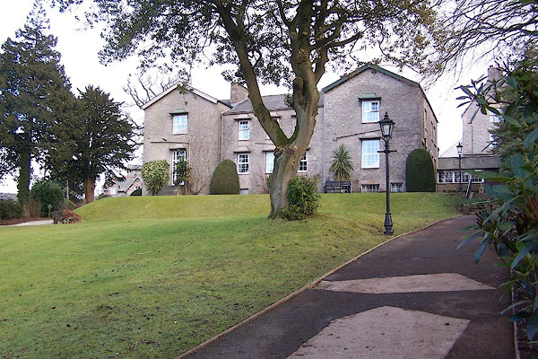 |
SD62577970 Casterton School (Casterton) |
 |
SD62437878 Cragg House Farm (Casterton) |
 |
SD62667873 Fawcett Well (Casterton) |
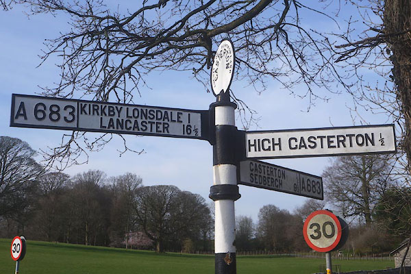 |
SD62157916 fingerpost, Casterton (Casterton) |
 |
SD62557986 Folly, The (Casterton) gone? |
 |
SD6279 Gate Syke (Casterton) |
 |
SD62797920 Gateheads Brow (Casterton) |
 |
SD62337959 George and Dragon (Casterton) |
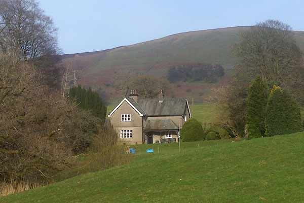 |
SD62448002 Grange Lodge (Casterton) |
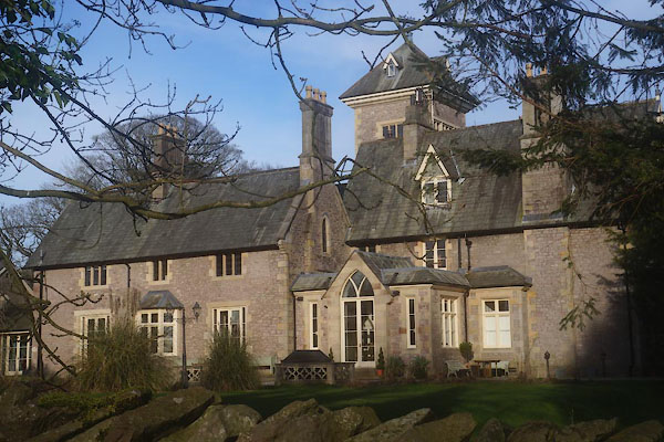 |
SD62308011 Grange, The (Casterton) |
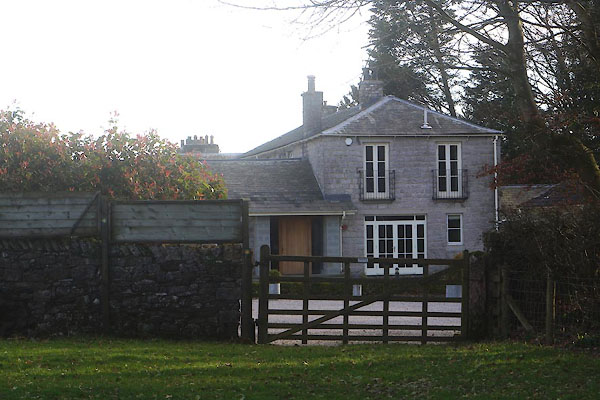 |
SD61957948 Hall Hill House (Casterton) |
 |
SD62617906 High Casterton (Casterton) |
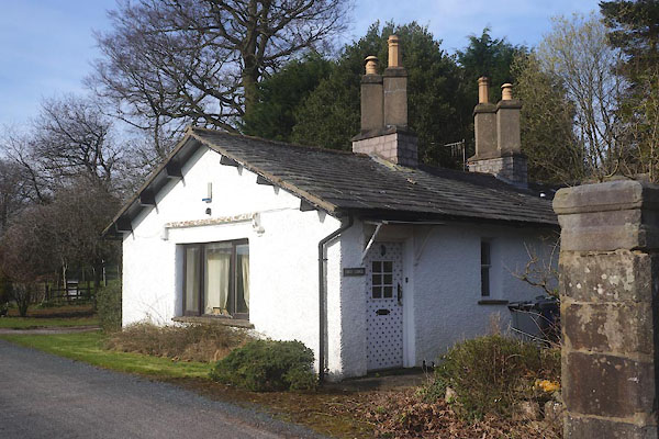 |
SD62177926 High Lodge (Casterton) L |
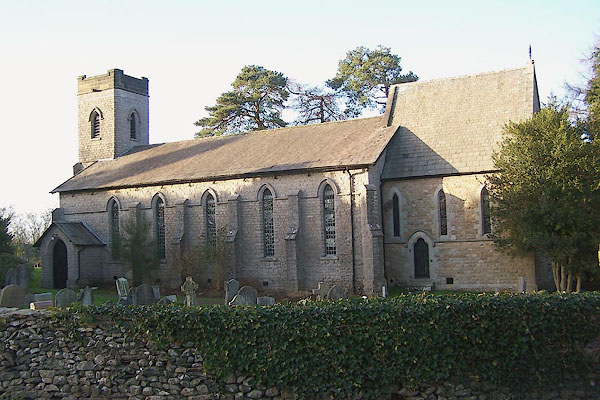 |
SD62467969 Holy Trinity Church (Casterton) L |
 |
SD62337955 Ivy Cottage (Casterton) |
 |
SD62137973 limekiln, Casterton (4) (Casterton) L |
 |
SD62187942 Marigold Well (Casterton) |
 |
SD62557931 North Head (Casterton) |
 |
SD62527877 Norwood Farm (Casterton) |
 |
SD62517906 Peslick's Knott (Casterton) |
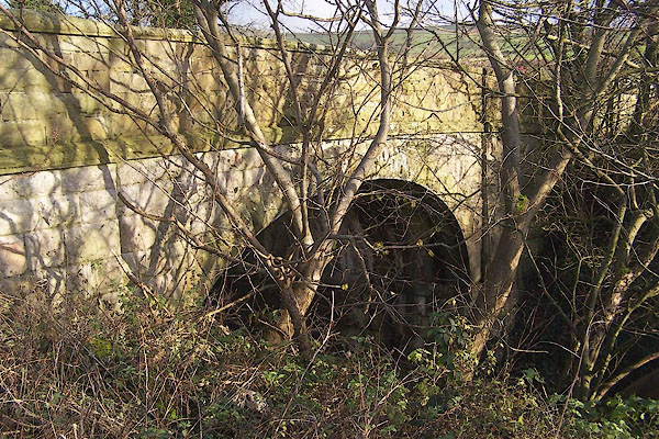 |
SD62767919 railway bridge, Casterton (Casterton) |
 |
SD62417972 Casterton School (Casterton) |
 |
SD62607977 Casterton Preparatory School (Casterton) |
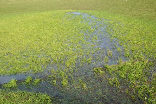 |
SD62187920 spring, Casterton (2) (Casterton) |
 |
SD62527873 Town End (Casterton) |
 |
SD62497976 (Casterton) |
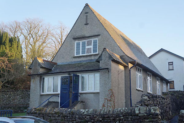 |
SD62417962 village hall, Casterton (Casterton) |
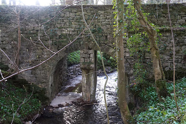 |
SD62177971 bridge, Casterton (2) (Casterton) |
