 |
 |
|
|
|
|
High Casterton |
|
|
| locality:- |
Casterton |
| civil parish:- |
Casterton (formerly Westmorland) |
| county:- |
Cumbria |
| locality type:- |
locality |
| locality type:- |
buildings |
| coordinates:- |
SD62617906 (etc) |
| 1Km square:- |
SD6279 |
| 10Km square:- |
SD67 |
|
|
| evidence:- |
old map:- OS County Series (Wmd 48 5)
placename:- High Casterton
placename:- Casterton, High
|
| source data:- |
Maps, County Series maps of Great Britain, scales 6 and 25
inches to 1 mile, published by the Ordnance Survey, Southampton,
Hampshire, from about 1863 to 1948.
|
|
|
| places:- |
 |
SD62717924 Bees Nest (Casterton) L |
|
|
 |
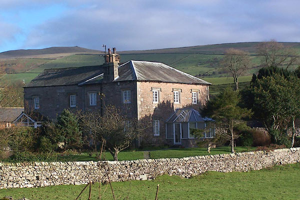
SD62437878 Cragg House Farm (Casterton) |
|
|
|
SD62727916 Elm Tree (Casterton) |
|
|
|
SD62667873 Fawcett Well (Casterton) |
|
|
|
SD62527877 Norwood Farm (Casterton) |
|
|
 |
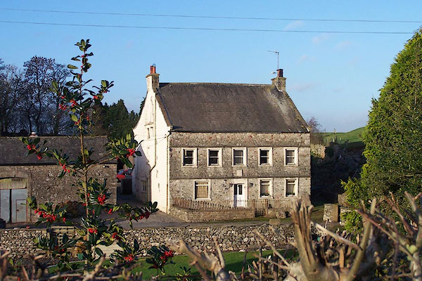
SD62627885 Old Manor (Casterton) L |
|
|
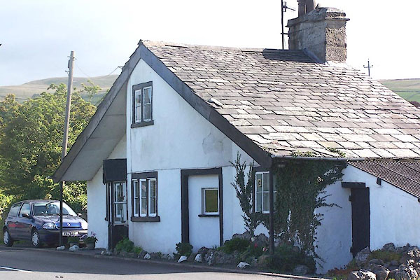 |
SD62137913 Toll Bar Cottage (Casterton) L |
|
|
|
SD62527873 Town End (Casterton) |
|
