 Old Cumbria Gazetteer
 |
 |
|
| bridge, Casterton (2) | ||
| site name:- | Casterton Beck | |
| locality:- | Casterton Woods | |
| locality:- | Casterton | |
| civil parish:- | Casterton (formerly Westmorland) | |
| county:- | Cumbria | |
| locality type:- | bridge | |
| coordinates:- | SD62177971 | |
| 1Km square:- | SD6279 | |
| 10Km square:- | SD67 | |
|
|
||
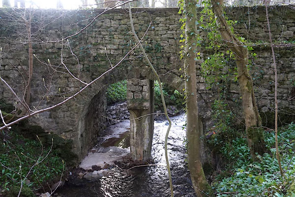 CFY42.jpg (taken 24.3.2017) 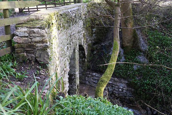 CFY41.jpg (taken 24.3.2017) |
||
|
|
||
| evidence:- | old map:- OS County Series (Wmd 47 8) |
|
| source data:- | Maps, County Series maps of Great Britain, scales 6 and 25
inches to 1 mile, published by the Ordnance Survey, Southampton,
Hampshire, from about 1863 to 1948. Over Mill Gill, just N of the vegetable gardens of Casterton Hall. |
|
|
|
||
| evidence:- | old print:- Johnson c1900 |
|
| source data:- | Print, engraving, In Casterton Woods, a footbridge, Westmorland, published by Thomas
Johnson, 30 Church Street, Blackburn, Lancashire, about 1900.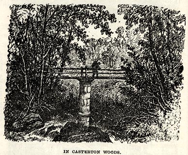 click to enlarge click to enlargeJSN409.jpg Probably over Mill Gill. The text says 'From the gardener's cottage a path descends to a picturesque Alpine bridge, which our artist has thought worth sketching. ...' On p.22 in The Gossiping Guide to Kirkby Lonsdale. item:- Armitt Library : A1612.A9 Image © see bottom of page |
|
|
|
||
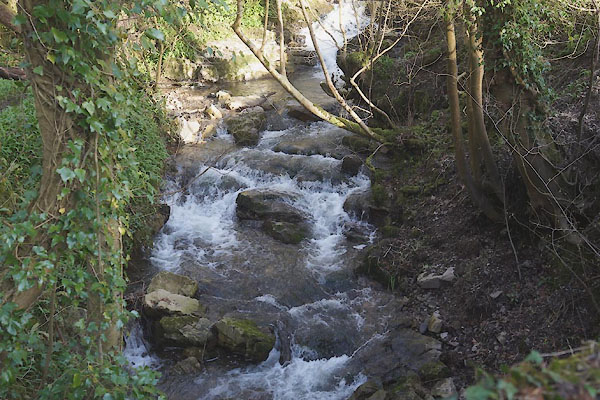 CFY43.jpg View of river. Casterton Woods, (taken ) 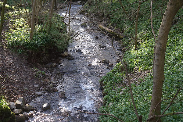 CFY44.jpg View of river. Casterton Woods, (taken ) |
||
|
|
||
 Lakes Guides menu.