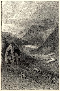
Brothers Water | ||||||||||||||||||||||||||
runs into:- | Goldrill Beck | |||||||||||||||||||||||||
|
||||||||||||||||||||||||||
Broad Water | ||||||||||||||||||||||||||
civil parish:- | Patterdale (formerly Westmorland) | |||||||||||||||||||||||||
county:- | Cumbria | |||||||||||||||||||||||||
locality type:- | lake | |||||||||||||||||||||||||
coordinates:- | NY40291274 (etc) | |||||||||||||||||||||||||
1Km square:- | NY4012 | |||||||||||||||||||||||||
10Km square:- | NY41 | |||||||||||||||||||||||||
|
||||||||||||||||||||||||||
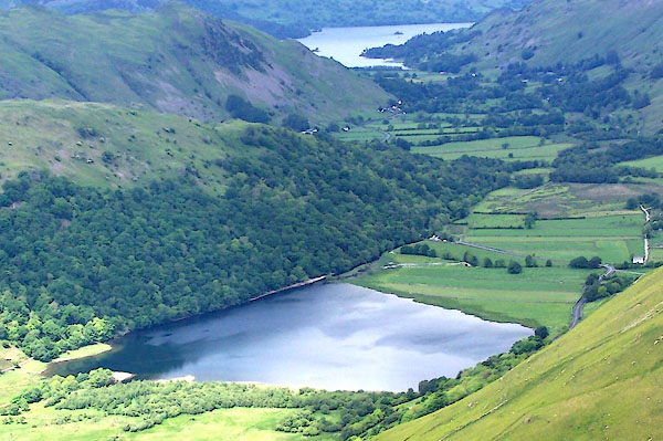
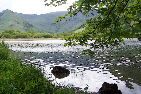
BQT20.jpg (taken 9.6.2009) BQT21.jpg (taken 9.6.2009) |
||||||||||||||||||||||||||
|
||||||||||||||||||||||||||
evidence:- | old map:- OS County Series (Wmd 19 3) placename:- Brothers Water |
|||||||||||||||||||||||||
source data:- | Maps, County Series maps of Great Britain, scales 6 and 25
inches to 1 mile, published by the Ordnance Survey, Southampton,
Hampshire, from about 1863 to 1948. |
|||||||||||||||||||||||||
|
||||||||||||||||||||||||||
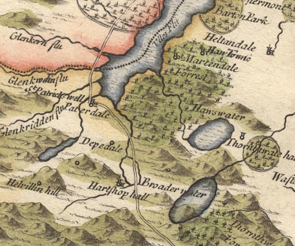
evidence:- | old map:- Mercator 1595 (edn?) placename:- |
|||||||||||||||||||||||||
source data:- | Map, hand coloured engraving, Westmorlandia, Lancastria, Cestria
etc, ie Westmorland, Lancashire, Cheshire etc, scale about 10.5
miles to 1 inch, by Gerard Mercator, Duisberg, Germany, 1595,
edition 1613-16. MER5WmdA.jpg "" outline, coast shaded, tinted blue; lake item:- Armitt Library : 2008.14.3 Image © see bottom of page |
|||||||||||||||||||||||||
|
||||||||||||||||||||||||||
evidence:- | old map:- Morden 1695 (Wmd) placename:- Broader Water |
|||||||||||||||||||||||||
source data:- | Map, hand coloured engraving, Westmorland, scale about 2.5 miles to 1 inch, by Robert
Morden, published by Abel Swale, the Unicorn, St Paul's Churchyard, Awnsham, and John
Churchill, the Black Swan, Paternoster Row, London, 1695. MD10NY41.jpg "Broader water" Outline, no shore shading, not tinted, the road running through it. item:- JandMN : 24 Image © see bottom of page |
|||||||||||||||||||||||||
|
||||||||||||||||||||||||||
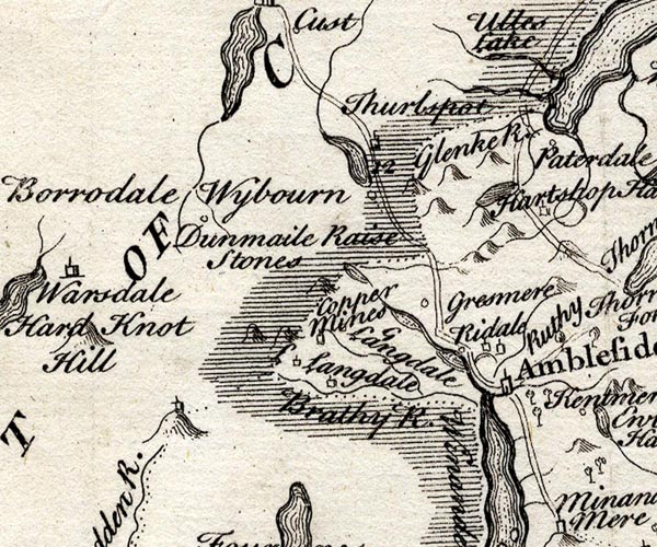
evidence:- | probably old map:- Badeslade 1742 placename:- |
|||||||||||||||||||||||||
source data:- | Map, uncoloured engraving, A Map of Westmorland North from
London, scale about 10 miles to 1 inch, with descriptive text,
by Thomas Badeslade, London, engraved and published by William
Henry Toms, Union Court, Holborn, London, 1742. click to enlarge BD12.jpg "" outline with form lines item:- Dove Cottage : 2007.38.62 Image © see bottom of page |
|||||||||||||||||||||||||
|
||||||||||||||||||||||||||
evidence:- | probably old map:- Simpson 1746 map (Wmd) |
|||||||||||||||||||||||||
source data:- | Map, uncoloured engraving, Westmorland, scale about 8 miles to 1
inch, printed by R Walker, Fleet Lane, London, 1746. SMP2NYF.jpg Outline with form lines; drained by the wrong river. item:- Dove Cottage : 2007.38.59 Image © see bottom of page |
|||||||||||||||||||||||||
|
||||||||||||||||||||||||||
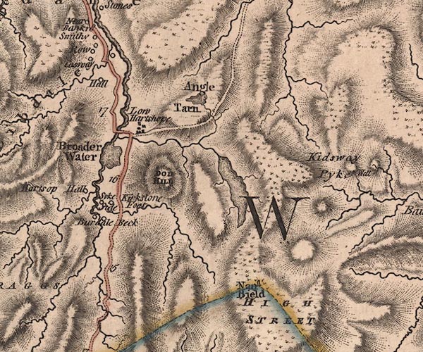
evidence:- | old map:- Jefferys 1770 (Wmd) placename:- Broader Water |
|||||||||||||||||||||||||
source data:- | Map, 4 sheets, The County of Westmoreland, scale 1 inch to 1
mile, surveyed 1768, and engraved and published by Thomas
Jefferys, London, 1770. J5NY41SW.jpg "Broader Water" outline with form lines; lake or tarn item:- National Library of Scotland : EME.s.47 Image © National Library of Scotland |
|||||||||||||||||||||||||
|
||||||||||||||||||||||||||
evidence:- | old map:- West 1784 map placename:- Broad Water |
|||||||||||||||||||||||||
source data:- | Map, hand coloured engraving, A Map of the Lakes in Cumberland,
Westmorland and Lancashire, scale about 3.5 miles to 1 inch,
engraved by Paas, 53 Holborn, London, about 1784. Ws02NY41.jpg item:- Armitt Library : A1221.1 Image © see bottom of page |
|||||||||||||||||||||||||
|
||||||||||||||||||||||||||
evidence:- | old text:- Clarke 1787 placename:- Broadwater placename:- Brotherwater item:- placename, Brothers Water; accident; drowning |
|||||||||||||||||||||||||
source data:- | Guide book, A Survey of the Lakes of Cumberland, Westmorland,
and Lancashire, written and published by James Clarke, Penrith,
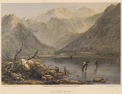
Cumberland, and in London etc, 1787; published 1787-93. goto source Page 153:- "..." "... Broadwater, called by some Brotherwater, a lake, about half a mile long, and near as much broad, close on the side of which we pass. ..." "... In Broadwater, or Brotherwater, two young men, (brothers) were drowned together in December 1785, by the ice breaking under them. The inhabitants have a tradition that" goto source Page 154:- "it received its name of Brotherwater from the like circumstance happening once before. ..." |
|||||||||||||||||||||||||
|
||||||||||||||||||||||||||
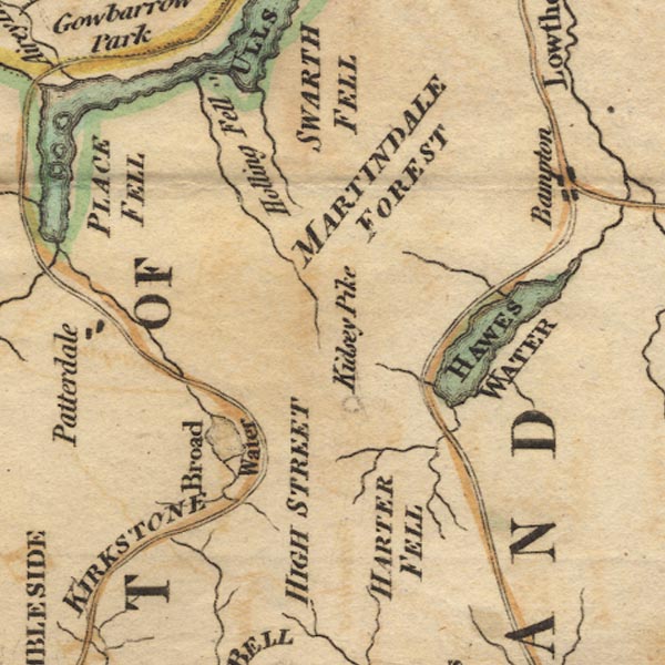
evidence:- | old map:- Cary 1789 (edn 1805) placename:- Broader Water |
|||||||||||||||||||||||||
source data:- | Map, uncoloured engraving, Westmoreland, scale about 2.5 miles
to 1 inch, by John Cary, London, 1789; edition 1805. CY24NY41.jpg "Broader Water" outline with shore form lines; lake or tarn item:- JandMN : 129 Image © see bottom of page |
|||||||||||||||||||||||||
|
||||||||||||||||||||||||||
evidence:- | old map:- Cooke 1802 placename:- Broad Water |
|||||||||||||||||||||||||
source data:- | Map, The Lakes, Westmorland and Cumberland, scale about 8.5
miles to 1 inch, engravedby Neele and Son, published by
Sherwood, Jones and Co, Paternoster Road, London, 1824. click to enlarge GRA1Lk.jpg "Broad W." outline with form lines; lake or tarn item:- Hampshire Museums : FA2000.62.5 Image © see bottom of page |
|||||||||||||||||||||||||
|
||||||||||||||||||||||||||
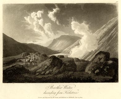
evidence:- | old print:- Green 1804 (plate 30) placename:- Brother Water |
|||||||||||||||||||||||||
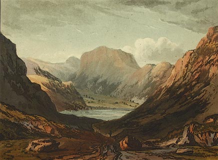
source data:- | Print, uncoloured aquatint, Brother Water, descending from Kirkstone, Patterdale,
Westmorland, by William Green, Ambleside, Westmorland, 1804. click to enlarge GN1630.jpg Plate 30 from a series. printed at bottom:- "Brother Water, / descending from Kirkstone. / Drawn and Engraved by Wm. Green, and Published at Ambleside, June 24, 1804." printed at top right:- "30" item:- Armitt Library : 2014.178 Image © see bottom of page |
|||||||||||||||||||||||||
|
||||||||||||||||||||||||||
evidence:- | old map:- Laurie and Whittle 1806 placename:- Broader Water |
|||||||||||||||||||||||||
source data:- | Road map, Completion of the Roads to the Lakes, scale about 10
miles to 1 inch, by Nathaniel Coltman? 1806, published by Robert
H Laurie, 53 Fleet Street, London, 1834. click to enlarge Lw18.jpg "Broader Water" lake item:- private collection : 18.18 Image © see bottom of page |
|||||||||||||||||||||||||
|
||||||||||||||||||||||||||
evidence:- | old map:- Cooper 1808 |
|||||||||||||||||||||||||
source data:- | Map, hand coloured engraving, Westmoreland ie Westmorland, scale
about 9 miles to 1 inch, by H Cooper, 1808, published by R
Phillips, Bridge Street, Blackfriars, London, 1808. click to enlarge COP4.jpg outline, shaded; lake item:- Dove Cottage : 2007.38.53 Image © see bottom of page |
|||||||||||||||||||||||||
|
||||||||||||||||||||||||||
evidence:- | old text:- Green 1810 placename:- Brother Water |
|||||||||||||||||||||||||
source data:- | Set of prints, soft ground etchings, Sixty Studies from Nature,
by William Green, Ambleside, Westmorland, drawn 1808-10,
published 1810. goto source page 111:- "..." "The views round Brother Water are sublime, the vale is fertile and clothed in wood, which diminishes in quantity as it ascends the mountains, and is generally in excellent distribution: ..." |
|||||||||||||||||||||||||
|
||||||||||||||||||||||||||
evidence:- | old print:- Wilkinson 1810 (plate 45) placename:- Brothers Water |
|||||||||||||||||||||||||
source data:- | Print, uncoloured soft ground etching, View near Brothers Water, Westmorland, by Joseph
Wilkinson, engraved by William Frederick Wells, published by R Ackermann, Repository
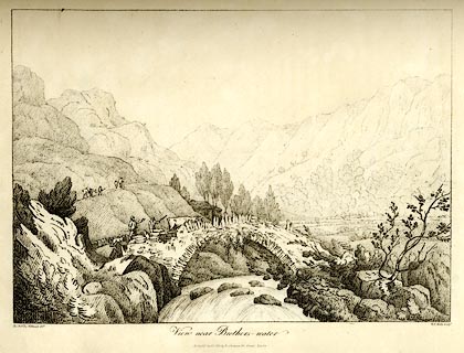
of Arts, 101 Strand, London, 1810. click to enlarge WKN145.jpg Plate 45 in Select Views in Cumberland, Westmoreland, and Lancashire. printed at bottom left, right, centre:- "The Revd. Jos. Wilkinson delt. / W. F. Wells Sculpt. / View near Brothers-water / Publish'd Jany. 1. 1810. by R. Ackerman. 101. Strand. London." item:- Fell and Rock Climbing Club : MN4.45 Image © see bottom of page |
|||||||||||||||||||||||||
|
||||||||||||||||||||||||||
evidence:- | old text:- Wordsworth 1810 placename:- Broaderwater item:- accident; drowning |
|||||||||||||||||||||||||
source data:- | Guide book, A Description of the Scenery of the Lakes, later A
Guide through the District of The Lakes, by William Wordsworth,
1810-35. goto source page 128 "... where lies the little lake of Brotherswater, named in old maps Broaderwater, and probably rightly so; for Bassenthwaite-mere at this day, is familiarly called Broadwater; but the change in the appellation of this small lake or pool (if it be a corruption) may have been assisted by some melancholy accident similar to what happened about twenty years ago, when two brothers were drowned there, having gone out to take their holiday pleasure upon the ice on a new-year's day." |
|||||||||||||||||||||||||
|
||||||||||||||||||||||||||
evidence:- | old print:- Green 1814 (plate 48) placename:- Brother Water item:- cattle |
|||||||||||||||||||||||||
source data:- | Print, tinted soft ground etching, Brother Water, Patterdale, Westmorland, by William
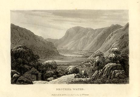
Green, Ambleside, Westmorland, 1814. click to enlarge GN1048.jpg Plate 48 in Sixty Small Prints. printed at top right:- "48" printed at bottom:- "BROTHER WATER. / Published at Ambleside Augst. 1, 1814, by Wm. Green." item:- Armitt Library : A6653.48 Image © see bottom of page |
|||||||||||||||||||||||||
|
||||||||||||||||||||||||||
evidence:- | old print:- Green 1814 (plate 48) placename:- Brother Water item:- cattle |
|||||||||||||||||||||||||
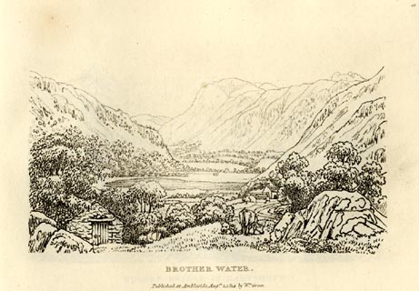
source data:- | Print, uncoloured soft ground etching, Brother Water, Patterdale, Westmorland, by
William Green, Ambleside, Westmorland, 1814. click to enlarge GN0948.jpg Plate 48 in Sixty Small Prints. printed at top right:- "48" printed at bottom:- "BROTHER WATER. / Published at Ambleside Augst. 1, 1814, by Wm. Green." item:- Armitt Library : A6656.48 Image © see bottom of page |
|||||||||||||||||||||||||
|
||||||||||||||||||||||||||
evidence:- | old text:- Green 1814 placename:- Brother Water |
|||||||||||||||||||||||||
source data:- | Set of prints, soft ground etchings, Sixty Small Prints, with
text, A Description of a Series of Sixty Small Prints, by
William Green, Ambleside, Westmorland, 1814. goto source page 27:- "..." "BROTHER WATER." "The road to Ulls Water from Ambleside, which is by Brother Water, is wild and mountainous; ..." "The views round Brother Water are sublime; the vale is fertile, and cloathed in wood, which diminishes in quantity as its ascends the mountains, and is generally in excellent distribution." |
|||||||||||||||||||||||||
|
||||||||||||||||||||||||||
evidence:- | old print:- Green 1815 placename:- Brother Water item:- sheep; clouds |
|||||||||||||||||||||||||
source data:- | Print, coloured aquatint, Brother Water, Patterdale, Westmorland, by William Green,
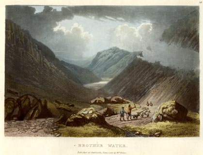
Ambleside, Westmorland, 1815. click to enlarge GN0517.jpg From the Kirkstone Pass. Plate 18 in Lake Scenery. printed at upper right:- "18" printed at bottom:- "BROTHER WATER. / Published at Ambleside, June 1, 1815, by Wm. Green." item:- Armitt Library : A6646.17 Image © see bottom of page |
|||||||||||||||||||||||||
|
||||||||||||||||||||||||||
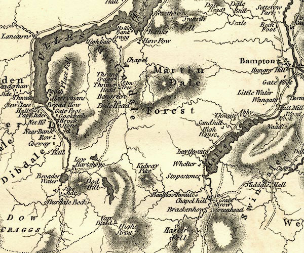
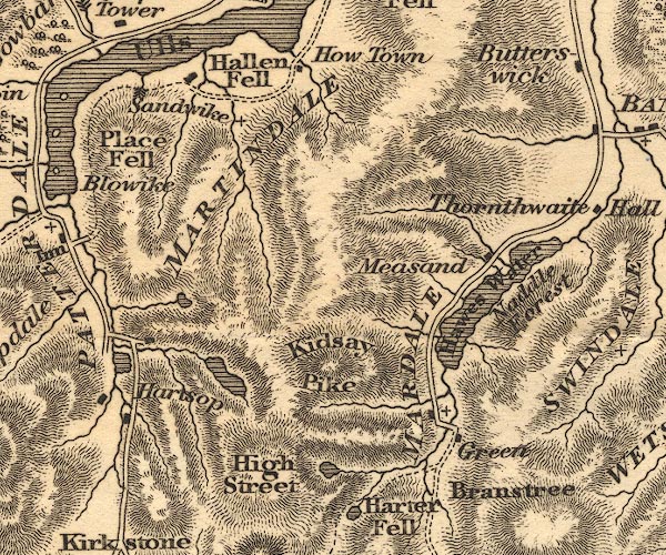
evidence:- | old map:- Otley 1818 |
|||||||||||||||||||||||||
source data:- | Map, uncoloured engraving, The District of the Lakes,
Cumberland, Westmorland, and Lancashire, scale about 4 miles to
1 inch, by Jonathan Otley, 1818, engraved by J and G Menzies,
Edinburgh, Scotland, published by Jonathan Otley, Keswick,
Cumberland, et al, 1833. OT02NY41.jpg item:- JandMN : 48.1 Image © see bottom of page |
|||||||||||||||||||||||||
|
||||||||||||||||||||||||||
evidence:- | old print:- Fielding and Walton 1821 (plate 47) placename:- Broader Water |
|||||||||||||||||||||||||
source data:- | Print, coloured aquatint, Broader Water, ie Brothers Water, Patterdale, Westmorland,
drawn by John Walton, published by R Ackermann, 101 Strand, London, 1821. click to enlarge FW0147.jpg Viewed from Kirkstone Pass. Tipped in opposite p.280 in A Picturesque Tour of the English Lakes. item:- Dove Cottage : 1993.R566.47 Image © see bottom of page |
|||||||||||||||||||||||||
|
||||||||||||||||||||||||||
evidence:- | descriptive text:- Otley 1823 (5th edn 1834) placename:- Brother Water item:- drowning; ice |
|||||||||||||||||||||||||
source data:- | Guide book, A Concise Description of the English Lakes, the
mountains in their vicinity, and the roads by which they may be
visited, with remarks on the mineralogy and geology of the
district, by Jonathan Otley, published by the author, Keswick,
Cumberland now Cumbria, by J Richardson, London, and by Arthur
Foster, Kirkby Lonsdale, Cumbria, 1823; published 1823-49,
latterly as the Descriptive Guide to the English Lakes. goto source Page 10:- "..." "BROTHER WATER," "- So called from the circumstance of two brothers having been drowned together, by the breaking of the ice - is a small lake, situate in that part of Patterdale called Hartshop, on the road leading to Ambleside." |
|||||||||||||||||||||||||
|
||||||||||||||||||||||||||
evidence:- | descriptive text:- Ford 1839 (3rd edn 1843) placename:- Brothers Water placename:- Brother Water item:- depth, Brothers Water |
|||||||||||||||||||||||||
source data:- | Guide book, A Description of Scenery in the Lake District, by
Rev William Ford, published by Charles Thurnam, Carlisle, by W
Edwards, 12 Ave Maria Lane, Charles Tilt, Fleet Street, William
Smith, 113 Fleet Street, London, by Currie and Bowman,
Newcastle, by Bancks and Co, Manchester, by Oliver and Boyd,
Edinburgh, and by Sinclair, Dumfries, 1839. goto source Page 149:- "..." "BROTHER WATER." "At Cowbridge is the outlet of this pretty sheet of water, which is situated in a fertile vale, clothed with wood. On its western side, near the head, stands the ancient and lowly Hall of Hartshope. This water may be readily circumambulated, and the views around it are sublime. It is fed by Kirkstone Beck, and that which rises under Dove Crag, which issues from a cove richly decorated with native wood; from this recess there is a view backwards on the gleaming surface of Brother Water, and forwards to the precipitous sides and lofty ridges of Dove Crag." goto source Page 177:- "A TABLE" "OF THE LENGTH, BREADTH, &c. OF THE LAKES," "COLLECTED FROM DIFFERENT AUTHORITIES."
|
|||||||||||||||||||||||||
|
||||||||||||||||||||||||||
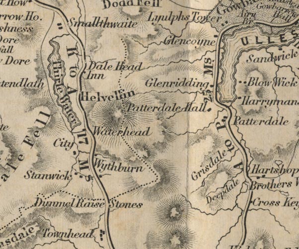
evidence:- | old map:- Ford 1839 map placename:- Brothers Water |
|||||||||||||||||||||||||
source data:- | Map, uncoloured engraving, Map of the Lake District of
Cumberland, Westmoreland and Lancashire, scale about 3.5 miles
to 1 inch, published by Charles Thurnam, Carlisle, and by R
Groombridge, 5 Paternoster Row, London, 3rd edn 1843. FD02NY31.jpg "Brothers Water" Outline. item:- JandMN : 100.1 Image © see bottom of page |
|||||||||||||||||||||||||
|
||||||||||||||||||||||||||
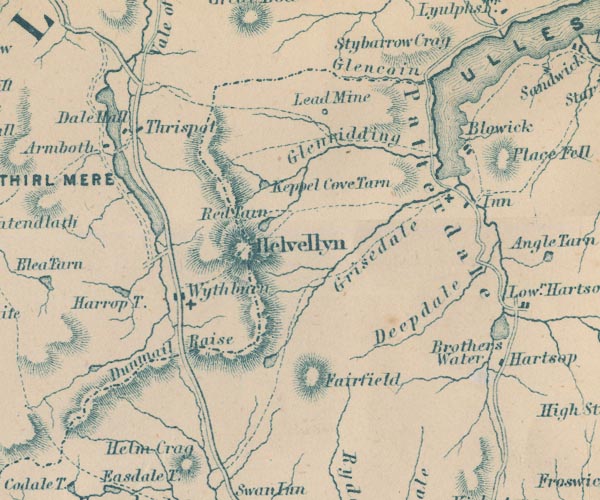
evidence:- | old map:- Garnett 1850s-60s H placename:- Brothers Water |
|||||||||||||||||||||||||
source data:- | Map of the English Lakes, in Cumberland, Westmorland and
Lancashire, scale about 3.5 miles to 1 inch, published by John
Garnett, Windermere, Westmorland, 1850s-60s. GAR2NY31.jpg "Brothers Water" outline with shore form lines, lake or tarn item:- JandMN : 82.1 Image © see bottom of page |
|||||||||||||||||||||||||
|
||||||||||||||||||||||||||
evidence:- | old print:- Pyne 1853 placename:- Brothers Water |
|||||||||||||||||||||||||
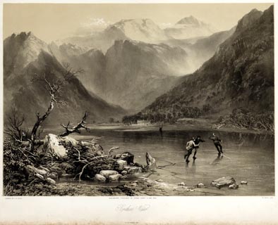
source data:- | Print, tinted lithograph, Brothers Water, Patterdale, Westmorland, by James Baker
Pyne, engraved by W Gauci, published by Thomas Agnew and Sons, Manchester, Lancashire,
1853. click to enlarge PYN215.jpg "PAINTED BY J. B. PYNE. / W. GAUCI LITH. / MANCHESTER, PUBLISHED BY THOMAS AGNEW & SONS, 1853. / Brothers Water / M & N HANHART IMPT." item:- Armitt Library : A6678.16 Image © see bottom of page |
|||||||||||||||||||||||||
|
||||||||||||||||||||||||||
evidence:- | old print:- Pyne 1853 placename:- Brothers Water |
|||||||||||||||||||||||||
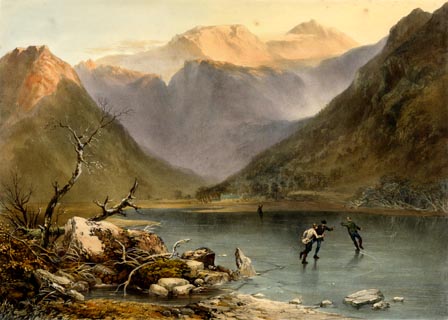
source data:- | Print, coloured lithograph, Brothers Water, Patterdale, Westmorland, by James Baker
Pyne, engraved by W Gauci, published by Thomas Agnew and Sons, Manchester, Lancashire,
1853. click to enlarge PYN415.jpg item:- Armitt Library : A6677.16 Image © see bottom of page |
|||||||||||||||||||||||||
|
||||||||||||||||||||||||||
evidence:- | old text:- Martineau 1855 placename:- Brothers' Water item:- accident; drowning |
|||||||||||||||||||||||||
source data:- | Guide book, A Complete Guide to the English Lakes, by Harriet
Martineau, published by John Garnett, Windermere, Westmorland,
and by Whittaker and Co, London, 1855; published 1855-76. goto source Page 37:- "... the little lake of Brothers' Water lying below [the Kirkstone Pass], afar off among the green levels; ..." "..." goto source Page 105:- "... Brothers' Water derives its name from the accident - which is said to have happened twice,- of brothers being lost in it, in the attempt of one to save the other. On one of the two occasions, the accident happened through the breaking of the ice, when the brothers were making a venturesome short cut across it to church. ..." |
|||||||||||||||||||||||||
|
||||||||||||||||||||||||||
evidence:- | old text:- Martineau 1855 placename:- Brothers' Water item:- depth, Brothers Water |
|||||||||||||||||||||||||
source data:- | Guide book, A Complete Guide to the English Lakes, by Harriet
Martineau, published by John Garnett, Windermere, Westmorland,
and by Whittaker and Co, London, 1855; published 1855-76. goto source Page 180:- "A TABLE OF THE LENGTH, BREADTH, AND DEPTH OF THE LAKES." "No. : Names of Lakes. : Counties : Length in Miles. : Extreme breadth in Miles : Extreme depth in Feet : Height above the Sea" "4 : Brothers' Water : Westmorland : 0¾ : ½: 72 : -" |
|||||||||||||||||||||||||
|
||||||||||||||||||||||||||
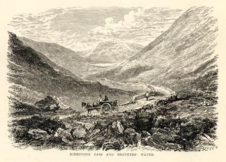
evidence:- | old print:- Payn 1867 placename:- Brothers' Water item:- cart |
|||||||||||||||||||||||||
source data:- | Print, uncoloured engraving, Kirkstone Pass and Brothers' Water, Patterdale, Westmorland,
by T L Aspland, published by J Garnett, Windermere, Westmorland, 1867. click to enlarge PN0329.jpg On p.60 of The Lakes in Sunshine, text by James Payn. printed at bottom:- "KIRKSTONE PASS AND BROTHERS' WATER." item:- Fell and Rock Climbing Club : 184.29 Image © see bottom of page |
|||||||||||||||||||||||||
|
||||||||||||||||||||||||||
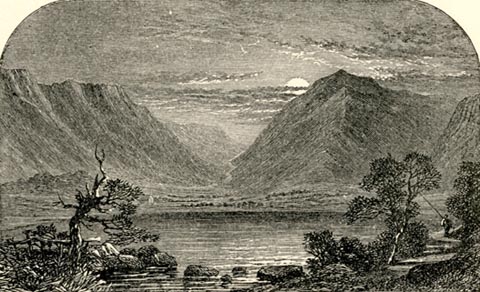
evidence:- | old print:- Payn 1867 placename:- Brothers Water |
|||||||||||||||||||||||||
source data:- | Print, uncoloured engraving, Brothers Water, Patterdale, Westmorland, by T L Aspland,
published by J Garnett, Windermere, Westmorland, 1867. click to enlarge PN0352.jpg On p.99 of The Lakes in Sunshine, text by James Payn. printed at bottom:- "BROTHERS WATER." item:- Fell and Rock Climbing Club : 184.52 Image © see bottom of page |
|||||||||||||||||||||||||
|
||||||||||||||||||||||||||
evidence:- | old photograph:- Bell 1880s-1940s |
|||||||||||||||||||||||||
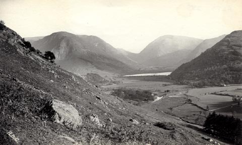
source data:- | Photograph, black and white, Brothers Water etc, Patterdale, Westmorland, by Herbert
Bell, photographer, Ambleside, Westmorland, 1890s. click to enlarge HB0624.jpg internegative at lower left:- "H. Bell" stamped on reverse:- "HERBERT BELL / Photographer / AMBLESIDE" item:- Armitt Library : ALPS285 Image © see bottom of page |
|||||||||||||||||||||||||
|
||||||||||||||||||||||||||
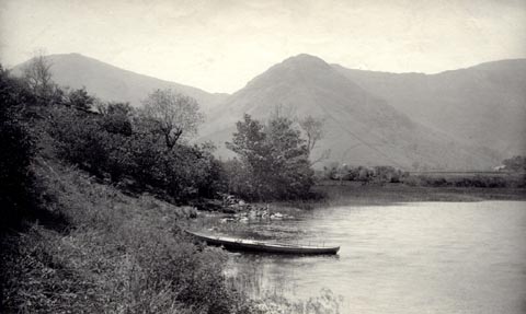
evidence:- | old photograph:- Bell 1880s-1940s item:- boat; rowing boat |
|||||||||||||||||||||||||
source data:- | Photograph, black and white, head of Brothers Water, Patterdale, Westmorland, by Herbert
Bell, photographer, Ambleside, Westmorland, 1890s. click to enlarge HB0626.jpg item:- Armitt Library : ALPS287 Image © see bottom of page |
|||||||||||||||||||||||||
|
||||||||||||||||||||||||||
evidence:- | old print:- Bradley 1901 placename:- Brotherwater |
|||||||||||||||||||||||||
source data:- | Print, uncoloured lithograph, Brotherwater and Kirkstone Pass, Patterdale, Westmorland,
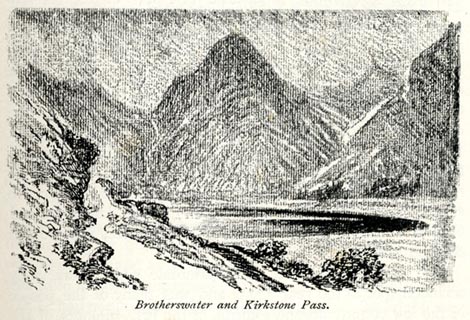
by Joseph Pennell, published by Macmillan and Co, London, 1901. click to enlarge BRL110.jpg On page 51 of Highways and Byways in the Lake District, by A G Bradley. printed at bottom:- "Brotherwater and Kirkstone Pass." item:- JandMN : 464.10 Image © see bottom of page |
|||||||||||||||||||||||||
|
||||||||||||||||||||||||||
evidence:- | old postcard:- placename:- Brotherswater |
|||||||||||||||||||||||||
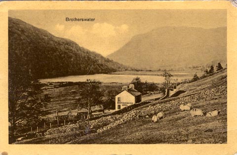
source data:- | Postcard, photograph, Brotherswater, Patterdale, by J S and S, 1920s? click to enlarge PR1766.jpg printed at upper left of centre:- "Brotherswater" printed at reverse:- "(Copyright J. S. &S.) / Printed in the County of Saxony / ..." item:- private collection : 335 Image © see bottom of page |
|||||||||||||||||||||||||
|
||||||||||||||||||||||||||
evidence:- | old print:- Pearson 1900s placename:- Brothers Water |
|||||||||||||||||||||||||
source data:- | Print, halftone photograph, Brothers Water, from the Kirkstone Pass, Westmorland,
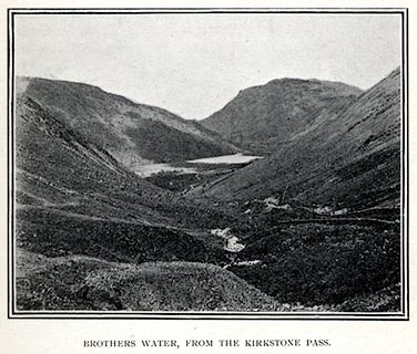
published by C Arthur Pearson, Henrietta Street, London, 1900s. click to enlarge PS1E32.jpg On p.85 of Pearson's Gossipy Guide to the English Lakes and Neighbouring Districts. printed at bottom:- "BROTHERS WATER, FROM THE KIRKSTONE PASS." item:- Armitt Library : A1188.39 Image © see bottom of page |
|||||||||||||||||||||||||
|
||||||||||||||||||||||||||
evidence:- | old print:- Gresham Publishing 1900s placename:- Brothers Water |
|||||||||||||||||||||||||
source data:- | Print, colour halftone, Kirkstone Pass and Brothers Water, Westmorland, by Ernest
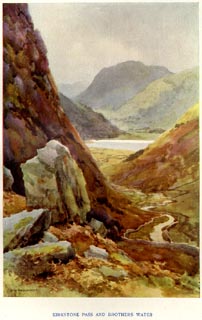
W Haslehurst, published by The Gresham Publishing Co, 66 Chandos Street, London, 1900s? click to enlarge PR1564.jpg Tipped in opposite p.26 of The English Lakes section of a volume of Our Beautiful Homeland. printed at bottom:- "KIRKSTONE PASS AND BROTHERS WATER" printed at lower left:- "E. W. HASLEHURST" item:- JandMN : 381.6 Image © see bottom of page |
|||||||||||||||||||||||||
|
||||||||||||||||||||||||||
evidence:- | old print:- Goodwin 1887 (edn 1890) placename:- Brothers Water |
|||||||||||||||||||||||||
source data:- | Print, etching? Brothers Water, from the Kirkstone Pass, Patterdale, Westmorland,
by Harry Goodwin, published by Swan Sonnenschein and Co, Paternoster Square, London,
1890. click to enlarge PR1600.jpg Tipped in opposite p.154 of Through the Wordsworth Country, by William Knight. item:- JandMN : 382.30 Image © see bottom of page |
|||||||||||||||||||||||||
|
||||||||||||||||||||||||||
evidence:- | old print:- placename:- Brothers Water |
|||||||||||||||||||||||||
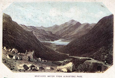
source data:- | Print, engraving with lithograph colour? Brothers Water from Kirkstone Pass, Westmorland,
1860s-70s? click to enlarge PR0383.jpg printed at bottom:- "BROTHERS WATER FROM KIRKSTONE PASS." item:- Dove Cottage : 2008.107.383 Image © see bottom of page |
|||||||||||||||||||||||||
|
||||||||||||||||||||||||||
evidence:- | old print:- Pyne 1853 placename:- Brothers' Water |
|||||||||||||||||||||||||
source data:- | Brothers Water drawn by James Barker Pyne, 1848-1853, lithographed by T Picken, 1859. click to enlarge PY09.jpg "Brothers' Water" item:- JandMN : 97.10 Image © see bottom of page |
|||||||||||||||||||||||||
|
||||||||||||||||||||||||||
evidence:- | old print:- Garnett 1850s-60s F placename:- Brothers' Water |
|||||||||||||||||||||||||
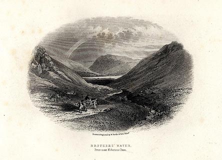
source data:- | Print, uncoloured engraving, Brothers' Water from near Kirkstone Pass, Westmorland,
drawn and engraved by William Banks and Son, Edinburgh, published by John Garnett,
Windermere, Westmorland, 1850s-60s? click to enlarge GAR703.jpg Included in Views of the English Lakes. printed at bottom:- "Drawn & Engraved. by W. Banks &Son, Edinr. / BROTHERS' WATER. / From near Kirkstone Pass." item:- JandMN : 165.3 Image © see bottom of page |
|||||||||||||||||||||||||
|
||||||||||||||||||||||||||
evidence:- | old print:- Rose 1832-35 |
|||||||||||||||||||||||||
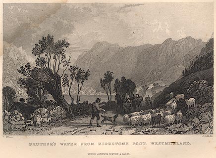
source data:- | Print, engraving, Brother's Water from Kirkstone Foot, Westmorland, by Thomas Allom,
engraved by R Sands, 1834. click to enlarge R233.jpg "BROTHER'S WATER FROM KIRKSTONE FOOT, WESTMORLAND." Notice the smit mark on the sheep, two strokes along farside rib? item:- JandMN : 66.44 Image © see bottom of page |
|||||||||||||||||||||||||
|
||||||||||||||||||||||||||
evidence:- | old print:- placename:- Broadwater |
|||||||||||||||||||||||||
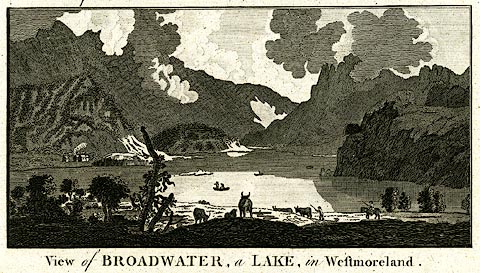
source data:- | Print, uncoloured engraving, A View of Broadwater, ie Brothers Water, Westmorland,
engraved by Lodge, published by Alexander Hogg, The Kings Arms, 16 Paternoster Row,
London, about 1794. click to enlarge PR0222.jpg It has been suggested that this is from Walpoole's Guide to the Lakes. printed at caption:- "View of BROADWATER, a LAKE in Westmoreland." item:- Dove Cottage : 2008.107.222 Image © see bottom of page |
|||||||||||||||||||||||||
|
||||||||||||||||||||||||||
evidence:- | old print:- placename:- Broadwater |
|||||||||||||||||||||||||
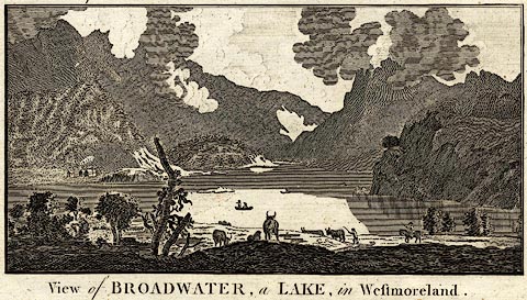
source data:- | Print, 3 engravings, A View of Derwentwater ie Derwent Water, A
View of Broadwater perhaps Brothers Water, and A View of
Winander Mere ie Windermere, Westmorland and Cumberland,
engraved by Lodge, published by Alexander Hogg, The Kings Arms,
16 Paternoster Row, London, about 1794. click to enlarge BNF23B.jpg "View of BROADWATER, a LAKE, in Westmoreland." item:- Dove Cottage : 2007.38.6 Image © see bottom of page |
|||||||||||||||||||||||||
|
||||||||||||||||||||||||||
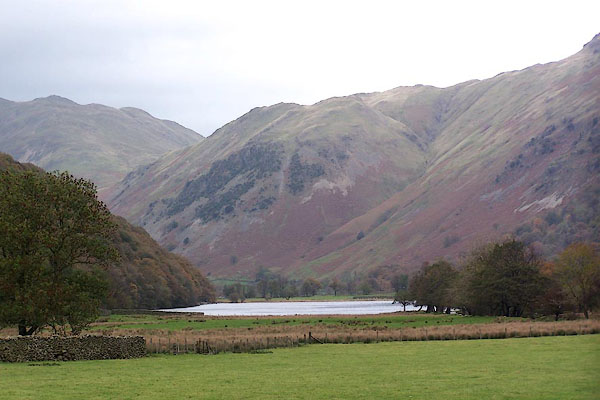
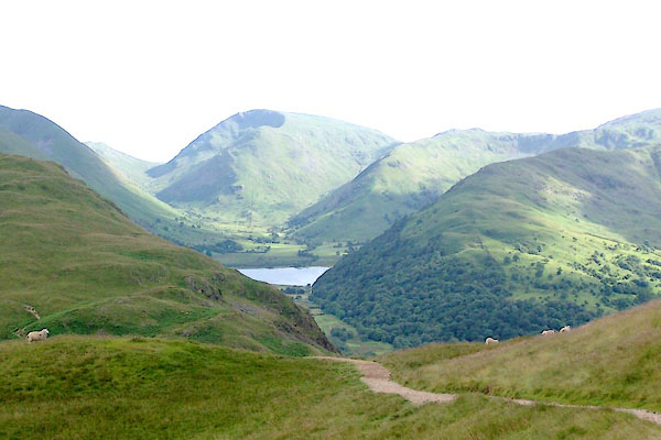
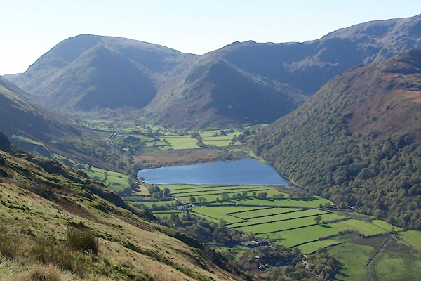
BMY54.jpg From the track to Hartsop Hall. (taken 5.11.2006) BRA08.jpg From about Boredale Hause, Caudale Moor directly behind. (taken 6.7.2009) BTS64.jpg (taken 20.10.2010) |
||||||||||||||||||||||||||
|
||||||||||||||||||||||||||
hearsay:- |
Once known as Broad Water, its named changed to Brothers Water in 1785 after two brothers
were drowned here having fallen through the ice while skating. The event is mentioned
by William Wordsworth in The Prelude (book 8 line 231), 1805-06. |
|||||||||||||||||||||||||
The fishing is free; eel, perch, trout, and white fish. |
||||||||||||||||||||||||||
|