

 Sandstone quarry.
 Cross bedding.
 Stone walling.
 Ripple marks, wind and sea erosion.
 Cross bedding.
 click to enlarge
CumSand.jpg
 Old Cumbria Gazetteer
 |
 |
   |
| geological walk, St Bees Head | ||
| St Bees Head geological walk | ||
| site name:- | St Bees Head | |
| civil parish:- | St Bees (formerly Cumberland) | |
| county:- | Cumbria | |
| locality type:- | geological walk | |
| 1Km square:- | NX9413 (etc) | |
| 10Km square:- | NY22 (etc) | |
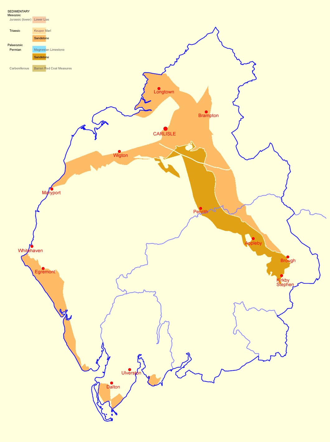
| SummaryText:- | St Bees Sandstone, Triassic period, Mesozoic era, 210-250 Myears before the present. This stratum lies across the north west part of Cumbria, from the east side of the Eden Valley to the Solway plain, from Carlisle to Maryport. In these areas the sandstone is mostly covered with alluvial or glacial deposits. | |
| SummaryText:- | From St Bees Head down the west coast the fine grained sandstone, which was deposited in water or mudflats, is nearer the surface. On on St Bees Head itself it is exposed in cliffs, all the way from South Head to North Head, and can be seen from the coastal footpath. On the way you can see cross bedding, convoluted bedding, ripple marks, wind and sea erosion, etc. The sites noted below are for a walk from St Bees to Kells, Whitehaven, south to north, with the sun behind you. | |
|
|
||
 Sandstone quarry. Sandstone quarry. |
||
|
|
||
 Cross bedding. Cross bedding. |
||
|
|
||
 Stone walling. Stone walling. |
||
|
|
||
 Ripple marks, wind and sea erosion. Ripple marks, wind and sea erosion. |
||
|
|
||
 Cross bedding. Cross bedding. |
||
|
|
||
| :- |
||
 click to enlarge click to enlargeCumSand.jpg |
||
|
|
||
 Lakes Guides menu.