 Old Cumbria Gazetteer
 |
 |
|
| included in:- |
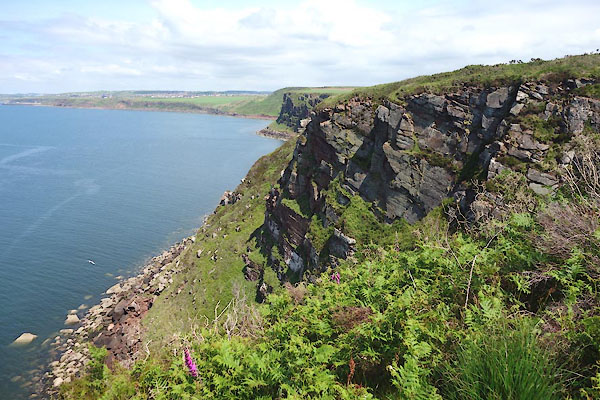
 geological walk, St Bees Head geological walk, St Bees Head |
|
| North Head, St Bees Head | ||
| North Head | ||
| site name:- | St Bees Head | |
| civil parish:- | St Bees (formerly Cumberland) | |
| county:- | Cumbria | |
| locality type:- | headland | |
| locality type:- | geological site | |
| coordinates:- | NX94011450 (etc) | |
| 1Km square:- | NX9414 | |
| 10Km square:- | NX91 | |
|
|
||
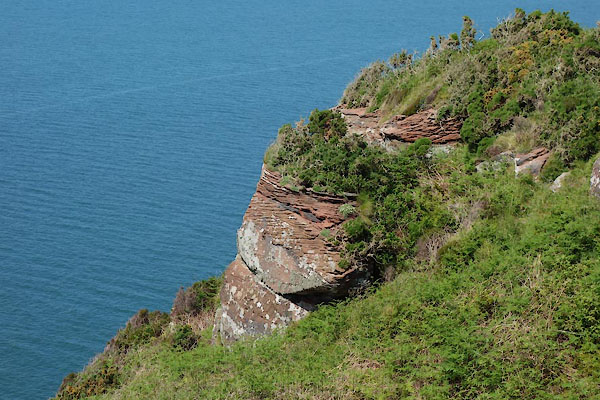 CDL30.jpg Note the cross bedding. (taken 23.6.2015) 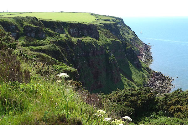 CDL35.jpg (taken 23.6.2015) |
||
|
|
||
| evidence:- | old map:- OS County Series (Cmd 67 13) placename:- North Head |
|
| source data:- | Maps, County Series maps of Great Britain, scales 6 and 25
inches to 1 mile, published by the Ordnance Survey, Southampton,
Hampshire, from about 1863 to 1948. |
|
|
|
||
| evidence:- | old map:- Donald 1774 (Cmd) placename:- North Head |
|
| source data:- | Map, hand coloured engraving, 3x2 sheets, The County of Cumberland, scale about 1
inch to 1 mile, by Thomas Donald, engraved and published by Joseph Hodskinson, 29
Arundel Street, Strand, London, 1774.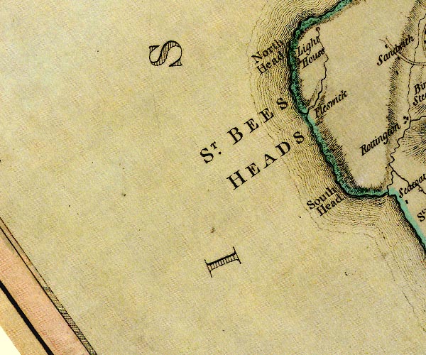 D4NX91SW.jpg "North Head" headland item:- Carlisle Library : Map 2 Image © Carlisle Library |
|
|
|
||
| evidence:- | old map:- Ford 1839 map placename:- North Head |
|
| source data:- | Map, uncoloured engraving, Map of the Lake District of
Cumberland, Westmoreland and Lancashire, scale about 3.5 miles
to 1 inch, published by Charles Thurnam, Carlisle, and by R
Groombridge, 5 Paternoster Row, London, 3rd edn 1843.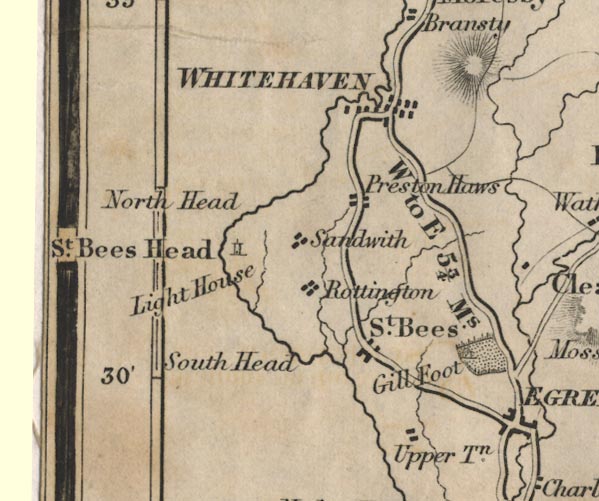 FD02NX91.jpg "North Head" Headland. item:- JandMN : 100.1 Image © see bottom of page |
|
|
|
||
 CDL36.jpg (taken 23.6.2015) |
||
|
|
||
Lakes Guides menu.