 Old Cumbria Gazetteer
 |
 |
|
| included in:- |
 geological walk, St Bees Head geological walk, St Bees Head |
|
| Birkham's Quarry, St Bees Head | ||
| Birkham's Quarry | ||
| site name:- | St Bees Head | |
| civil parish:- | St Bees (formerly Cumberland) | |
| county:- | Cumbria | |
| locality type:- | sandstone quarry | |
| locality type:- | quarry | |
| locality type:- | geological site | |
| coordinates:- | NX95531542 (about) | |
| 1Km square:- | NX9515 | |
| 10Km square:- | NX91 | |
| stratigraphy:- | Mesozoic; Triassic | |
| stratigraphy:- | St Bees Sandstone | |
| SummaryText:- | The fine grained St Bees Sandstone is an attractive building stone, a little less vivid than the Permian sandstone which is seen in buildings in the Penrith area. | |
|
|
||
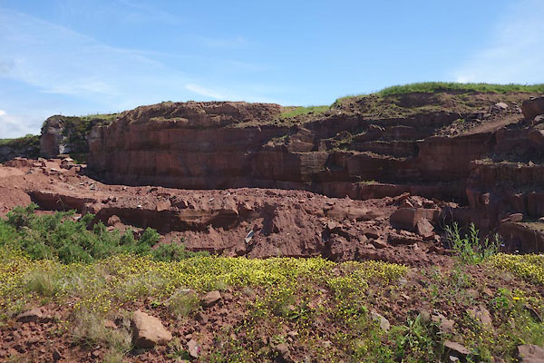 CDL40.jpg (taken 23.6.2015) 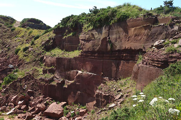 CDL42.jpg (taken 23.6.2015) |
||
|
|
||
| evidence:- | old map:- OS County Series (Cmd 67 9) placename:- Birkham's Quarry |
|
| source data:- | Maps, County Series maps of Great Britain, scales 6 and 25
inches to 1 mile, published by the Ordnance Survey, Southampton,
Hampshire, from about 1863 to 1948. |
|
|
|
||
| evidence:- | old map:- OS County Series (Cmd 67) placename:- Birkham's Quarry |
|
| source data:- | Maps, County Series maps of Great Britain, scales 6 and 25
inches to 1 mile, published by the Ordnance Survey, Southampton,
Hampshire, from about 1863 to 1948. "Birkham's Quarry" |
|
|
|
||
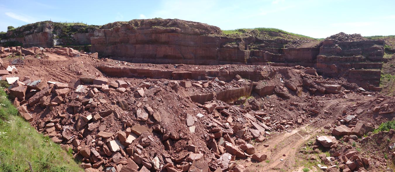 Click to enlarge CDL41.jpg (taken 23.6.2015) 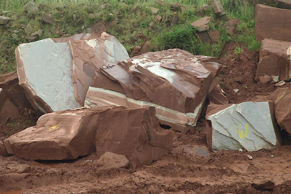 BPQ81.jpg The sandstone is banded red and white; the red is coloured by iron as Fe2O3, the white by iron as FeO. (taken 29.8.2008) 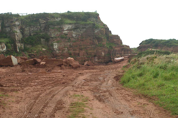 BPQ79.jpg (taken 29.8.2008) 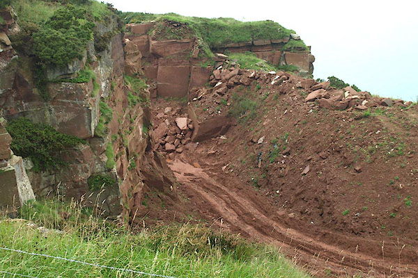 BPQ80.jpg (taken 29.8.2008) |
||
|
|
||
|
|
||
Lakes Guides menu.