


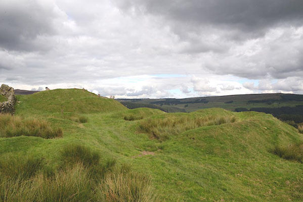
CGL75.jpg (taken 1.9.2017)
placename:- Castle
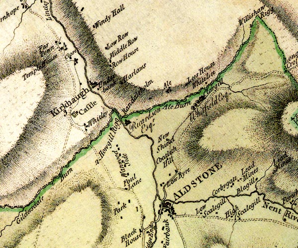
D4NY74NW.jpg
"Castle"
square within a square; roman fort
item:- Carlisle Library : Map 2
Image © Carlisle Library
placename:- Whitley Castle
placename:- Alione
item:- roman inscription; inscription, roman; roman altar; altar, roman
 goto source
Page 205:- "..."
"Whitley castle in Northumberland is the antient ALIONE. The inscription given by Mr. Camden is probably lost, for that now at Appleby is but a copy. It belongs to Caracalla, whose relationship to the several emperors here enumerated is explained by Mr. Ward. Mr. Horsley saw in the hands of Mr. Henry Wallace, of Whitley, proprietor of the site of the station this inscription:"
"VEX. LEG.
XX VV
RE FEC"
"and in a house called Castle-nook, at the south entry of the station another likewise to Caracalla. At Kirkhaugh adjoining in the church-yard is this inscription on an altar:"
"DEAE ME
NERVAE
ET
HERCVLI
VICTOR."
"i.e. Deae Minervae &Herculi Victori."
placename:- Whitley Castle
placename:- Alone
item:- roman inscription; inscription, roman; Antonine Itineraries; Notitia Dignitatum
 goto source
Page 177:- "..."
"... at the confluence of the little river Alon with the Tine before-mentioned on the gentle slope of a hill are traces of a very large old town, defended on the north by four ramparts, and on the west by two. Whitley castle is the present name of this place, in proof of whose antiquity remains this imperfest inscription, in abreviated and complicated characters, by which we learn, that the 3d cohort of the Nervii erected there a palace to the emperor Antoninus son of Severus:"
"IMP. CAES. Lucii Septimi Severi Ara-
BICI. ADIABENICI PARTHICI,
MAX. FIL. DIVI ANTONINI Pii Germanici
SARMA. NEP. DIVI ANTONINI PII PRON.
DIVI HADRIANI ABN. DIVI TRAIANI
PARTH. ET DIVI NERVAE ADNEPOTI.
M. AVRELIO ENTONINO PIO
FEL. AVG. GERMANICO PONT. MAX.
TR. POT.. X.. IMP.... COS.IIII. P. P....
PRO PIETATE AEDE... VOTO...
COMMVNI CVRANTE......
......... LEGATO AVG.
PR... COH. III. NERVIO......
RVM... G. R. POS."
"As the 3rd cohort of the Nervii was stationed here, and by the Notitia is placed at ALIONE, and by Antoninus at ALONE, and the little river that runs by this place is called Alne, we may with great probability suppose this place to have been ALONE, though not with absolute certainty, since the ravages of time and war have almost obliterated all memory of it."
placename:- Epiacum
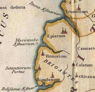 click to enlarge
PTY3Cm.jpg
"Epiacum"
item:- Hampshire Museums : FA2002.651
Image © see bottom of page
placename:- Alione
placename:- Whitley Castle
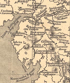 click to enlarge
HOR1Cm.jpg
"Alione / Whitley Castle"
item:- JandMN : 429
Image © see bottom of page
placename:- Whitley
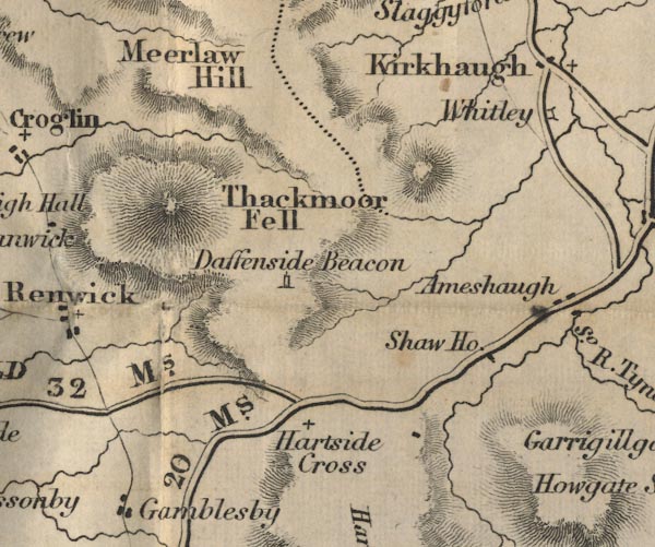
FD02NY64.jpg
"Whitley"
Symbol for a roman fort?
item:- JandMN : 100.1
Image © see bottom of page
placename:- Epiacum
placename:- Epeiacum
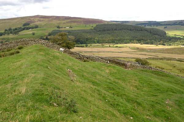
CGL76.jpg (taken 1.9.2017)
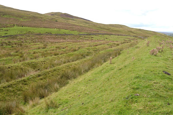
CGL77.jpg (taken 1.9.2017)
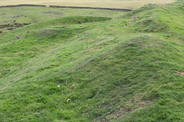
CGL78.jpg (taken 1.9.2017)
 Whitley, Northumberland