item:- Hampshire Museums : FA2002.651
image:- © see bottom of page
 PTY3Cm.jpg
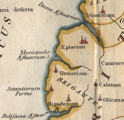
Map, hand coloured engraving, Albion et Hibernia Britannicae
Insulae, from the data of Claudius Ptolemy, 2nd century, on the
example of Gerard Mercator, 16th century, scale about 55 miles
to 1 inch, engraved by Basire, published for the Society of
Antiquaries, 1793.
 Lakes Guides menu.