Old Cumbria Gazetteer
 |
 |
|
||
| Cald Beck | ||||
| runs into:- |  Caldew, River Caldew, River |
|||
|
|
||||
| civil parish:- | Caldbeck (formerly Cumberland) | |||
| county:- | Cumbria | |||
| locality type:- | river | |||
| 1Km square:- | NY3339 (etc) | |||
| 10Km square:- | NY33 | |||
|
|
||||
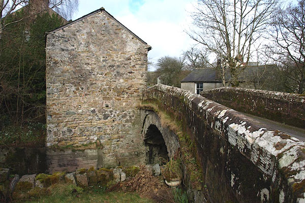
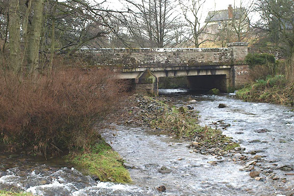
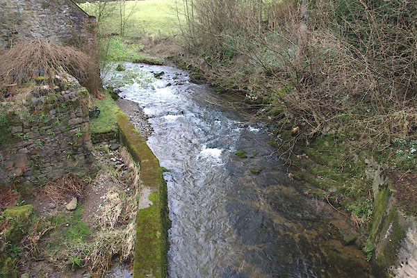 BOT04.jpg Above the bridge. (taken 1.3.2008) 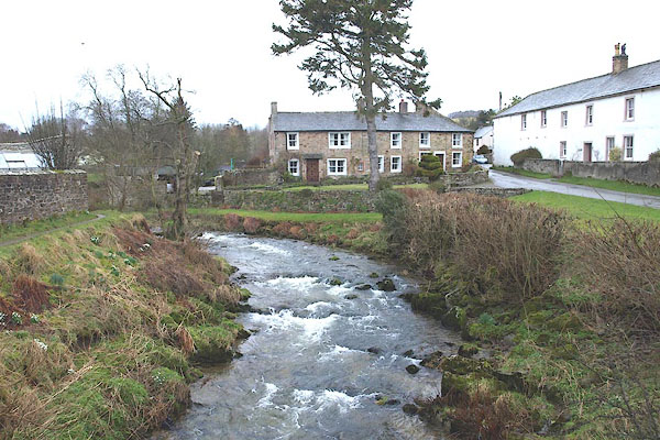 BOT25.jpg Above the footbridge. (taken 1.3.2008) |
||||
|
|
||||
| evidence:- | old map:- OS County Series (Cmd 37 12) placename:- Cald Beck |
|||
| source data:- | Maps, County Series maps of Great Britain, scales 6 and 25
inches to 1 mile, published by the Ordnance Survey, Southampton,
Hampshire, from about 1863 to 1948. OS County Series (Cmd 38 9) |
|||
|
|
||||
| evidence:- | old map:- Donald 1774 (Cmd) placename:- Cald Beck |
|||
| source data:- | Map, hand coloured engraving, 3x2 sheets, The County of Cumberland, scale about 1
inch to 1 mile, by Thomas Donald, engraved and published by Joseph Hodskinson, 29
Arundel Street, Strand, London, 1774.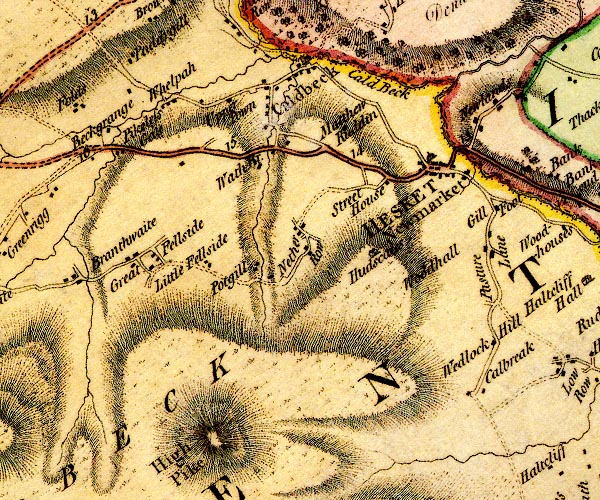 D4NY33NW.jpg "Cald Beck" single or double wiggly line; a river into the Caldew item:- Carlisle Library : Map 2 Image © Carlisle Library |
|||
|
|
||||
| places:- |
|
|||
|
||||
|
||||
|
||||
|
||||
|
||||
Lakes Guides menu.