 |
 |
   |
|
|
|
Wolsty Castle |
|
Wulsty Castle |
| locality:- |
Wolsty |
| civil parish:- |
Holme Low (formerly Cumberland) |
| county:- |
Cumbria |
| locality type:- |
castle (ruin) |
| coordinates:- |
NY10505060 |
| 1Km square:- |
NY1050 |
| 10Km square:- |
NY15 |
|
|
| evidence:- |
old map:- OS County Series (Cmd 27 3)
placename:- Wolsty Castle
|
| source data:- |
Maps, County Series maps of Great Britain, scales 6 and 25
inches to 1 mile, published by the Ordnance Survey, Southampton,
Hampshire, from about 1863 to 1948.
"Wolsty Castle (Remains of)"
|
|
|
| evidence:- |
old map:- Saxton 1579
placename:- Wulsty Castle
|
| source data:- |
Map, hand coloured engraving, Westmorlandiae et Cumberlandiae Comitatus ie Westmorland
and Cumberland, scale about 5 miles to 1 inch, by Christopher Saxton, London, engraved
by Augustinus Ryther, 1576, published 1579-1645.
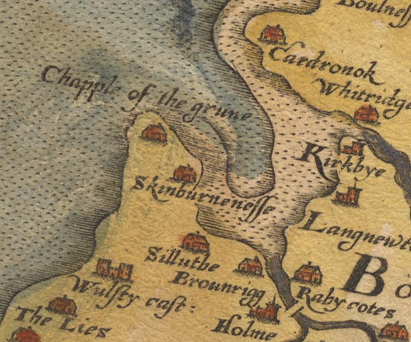
Sax9NY15.jpg
Building with two towers, symbol for a castle. "Wulsty cast:"
item:- private collection : 2
Image © see bottom of page
|
|
|
| evidence:- |
old map:- Mercator 1595 (edn?)
placename:- Wulsty Castle
|
| source data:- |
Map, hand coloured engraving, Northumbria, Cumberlandia, et
Dunelmensis Episcopatus, ie Northumberland, Cumberland and
Durham etc, scale about 6.5 miles to 1 inch, by Gerard Mercator,
Duisberg, Germany, about 1595.
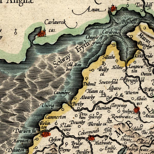
MER8CumB.jpg
"Wulsty ca."
tower
item:- JandMN : 169
Image © see bottom of page
|
|
|
| evidence:- |
old map:- Keer 1605
placename:- Wulsty Castle
|
| source data:- |
Map, hand coloured engraving, Westmorland and Cumberland, scale
about 16 miles to 1 inch, probably by Pieter van den Keere, or
Peter Keer, about 1605 edition perhaps 1676.
 click to enlarge click to enlarge
KER8.jpg
"Wulsty cast"
dot, circle and tower; village
item:- Dove Cottage : 2007.38.110
Image © see bottom of page
|
|
|
| evidence:- |
old map:- Speed 1611 (Cum/EW)
placename:- Wulsty Castle
|
| source data:- |
Map, hand coloured engraving, Kingdome of Great Britaine and
Ireland, scale about 36 miles to 1 inch, by John Speed, about
1610-11, published by Thomas Bassett, Fleet Street and Richard
Chiswell, St Paul's Churchyard, London, 1676?
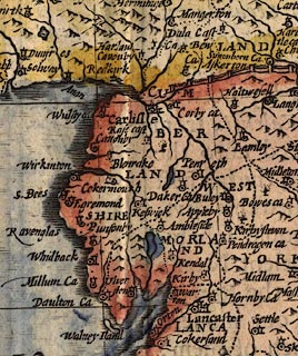 click to enlarge click to enlarge
SPD6Cm.jpg
"Wulsty ca"
dot, circle, and tower
item:- private collection : 85
Image © see bottom of page
|
|
|
| evidence:- |
old map:- Speed 1611 (Cmd)
placename:- Wulsty Castle
|
| source data:- |
Map, hand coloured engraving, Cumberland and the Ancient Citie
Carlile Described, scale about 4 miles to 1 inch, by John Speed,
1610, published by J Sudbury and George Humble, Popes Head
Alley, London, 1611-12.
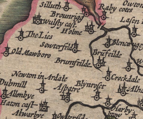
SP11NY14.jpg
"Wulsty cast."
circle, buildings, towers
item:- private collection : 16
Image © see bottom of page
|
|
|
| evidence:- |
table of distances:- Simons 1635
placename:- Wulstye Castle
|
| source data:- |
Table of distances, uncoloured engraving, Cumberland, with a
thumbnail map, scale about 41 miles to 1 inch, by Mathew Simons,
published in A Direction for the English Traviller, 1635.
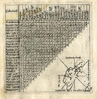 click to enlarge click to enlarge
SIM4.jpg
"Wulstye Ca: SW"
and tabulated distances; W on thumbnail map
item:- private collection : 50.11
Image © see bottom of page
|
|
|
| evidence:- |
old map:- Jenner 1643
placename:- Wulsty Castle
|
| source data:- |
Tables of distances with a maps, Westmerland, scale about 16
miles to 1 inch, and Cumberland, scale about 21 miles to 1 inch,
published by Thomas Jenner, London, 1643; published 1643-80.

JEN4Sq.jpg
"Wulsty ca"
circle
|
|
|
| evidence:- |
old map:- Jansson 1646
placename:- Wulsty Castle
|
| source data:- |
Map, hand coloured engraving, Cumbria and Westmoria, ie
Cumberland and Westmorland, scale about 3.5 miles to 1 inch, by
John Jansson, Amsterdam, Netherlands, 1646.
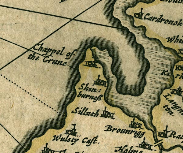
JAN3NY15.jpg
"WulstÿCast."
Buildings and tower with flag.
item:- JandMN : 88
Image © see bottom of page
|
|
|
| evidence:- |
old map:- Seller 1694 (Cmd)
placename:- Wulsty Castle
|
| source data:- |
Map, uncoloured engraving, Cumberland, scale about 12 miles to 1
inch, by John Seller, 1694.
 click to enlarge click to enlarge
SEL9.jpg
"Wulsty Cast"
circle; castle
item:- Dove Cottage : 2007.38.89
Image © see bottom of page
|
|
|
| evidence:- |
old map:- Morden 1695 (Cmd)
placename:- Wulsty Castle
|
| source data:- |
Map, uncoloured engraving, Cumberland, scale about 4 miles to 1
inch, by Robert Morden, 1695, published by Abel Swale, the
Unicorn, St Paul's Churchyard, Awnsham, and John Churchill, the
Black Swan, Paternoster Row, London, 1695-1715.
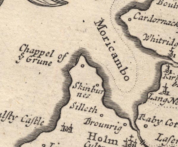
MD12NY15.jpg
"Wulsty Castle"
Circle, building with two towers.
item:- JandMN : 90
Image © see bottom of page
|
|
|
| evidence:- |
old map:- Badeslade 1742
placename:- Wulsey Castle
|
| source data:- |
Map, uncoloured engraving, A Map of Cumberland North from
London, scale about 11 miles to 1 inch, with descriptive text,
by Thomas Badeslade, London, engraved and published by William
Henry Toms, Union Court, Holborn, London, 1742.
 click to enlarge click to enlarge
BD10.jpg
"Wuls[e]y Castle"
circle, italic lowercase text; castle
item:- JandMN : 115
Image © see bottom of page
|
|
|
| evidence:- |
old map:- Bowen and Kitchin 1760
placename:- Wulsty Castle
|
| source data:- |
Map, hand coloured engraving, A New Map of the Counties of
Cumberland and Westmoreland Divided into their Respective Wards,
scale about 4 miles to 1 inch, by Emanuel Bowen and Thomas
Kitchin et al, published by T Bowles, Robert Sayer, and John
Bowles, London, 1760.
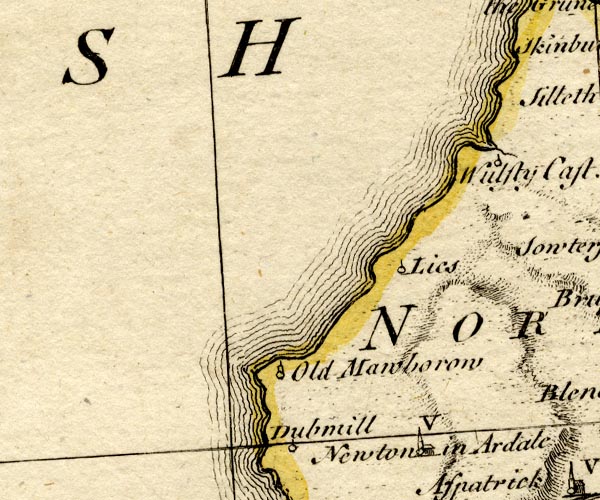
BO18NY04.jpg
"Wulsty Cast."
circle and ?flag
item:- Armitt Library : 2008.14.10
Image © see bottom of page
|
|
|
| evidence:- |
old map:- Donald 1774 (Cmd)
placename:- Wolsty Castle
|
| source data:- |
Map, hand coloured engraving, 3x2 sheets, The County of Cumberland, scale about 1
inch to 1 mile, by Thomas Donald, engraved and published by Joseph Hodskinson, 29
Arundel Street, Strand, London, 1774.
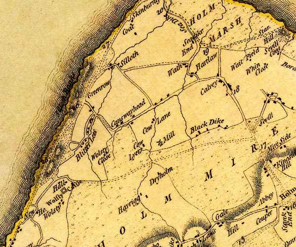
D4NY15SW.jpg
"Wolsty Castle"
square within a square; roman fort
item:- Carlisle Library : Map 2
Image © Carlisle Library |
|
|
| evidence:- |
old text:- Clarke 1787
placename:- Wulsty Castle
|
| source data:- |
Guide book, A Survey of the Lakes of Cumberland, Westmorland,
and Lancashire, written and published by James Clarke, Penrith,
Cumberland, and in London etc, 1787; published 1787-93.
 goto source goto source
Page 105:- "..."
"I do not find any ancient authors mention a castle here [Castlerigg], Speed, who speaks
of twenty-five in Cumberland, hath found out every one I ever heard or knew of, except
Kirkoswald; how that has escaped him I cannot tell. I shall here put down their names,
and, as well as I can, their most ancient owners, and supposed founders."
"..."
 goto source goto source
Page 106:- "..."
"14. WULSTY, - Mentioned by Speed. I cannot find it, unless we would suppose it to
be Kirkoswald, a place he does not name."
"..."
|
|
|
| evidence:- |
old text:- Camden 1789
placename:- Vulstey Castle
|
| source data:- |
Book, Britannia, or A Chorographical Description of the Flourishing Kingdoms of England,
Scotland, and Ireland, by William Camden, 1586, translated from the 1607 Latin edition
by Richard Gough, published London, 1789.
 goto source goto source
Page 172:- "..."
"... Holme, or as it is commonly called Holme Cultrain abbey; and Vulstey castle was
built by the abbots in the neighbourhood to secure their treasure, books, and records,
from the sudden inroads of the Scots. In this castle are said to be concealed a prey
to the moths the works of Michael Scotus, who professed a religious life here about
the year 1290, so deeply immersed in mathematical studies and sciences, that he obtained
the character of a magician with the vulgar, whose foolish credulity reported him
to have wrought wonders. ..."
|
|
|
| evidence:- |
old text:- Capper 1808
item:- book; charter
|
| source data:- |
Gazetteer, A Topographical Dictionary of the United Kingdom,
compiled by Benjamin Pitts Capper, published by Richard
Phillips, Bridge Street, Blackfriars, London, 1808; published
1808-29.
 goto source goto source
"... About 5 miles distant from the sea-shore are the vestiges of an ancient castle,
built by the abbots of Holm-Cultram, for securing their books and charters from the
depredations of the Scots. ..."
|
|
|
| evidence:- |
old text:- Gents Mag
placename:- Holmcoltran Wolmsty
item:- licence to crenellate
|
| source data:- |
Magazine, The Gentleman's Magazine or Monthly Intelligencer or
Historical Chronicle, published by Edward Cave under the
pseudonym Sylvanus Urban, and by other publishers, London,
monthly from 1731 to 1922.
 goto source goto source
Gentleman's Magazine 1856 part 2 pp.467-475 "..."
"LICENCES TO CRENELLATE, FROM THE PATENT ROLLS IN THE TOWER OF LONDON. (Continued from p.330.)"
"[Edward III continued]"
"..."
"22. Abbas de Holmcoltran manerium infra limites de Holmcoltran Wolmsty ... Cumbr."
"..."
|
|
|
| evidence:- |
text:- Curwen 1913
placename:- Wolmsty
item:- licence to crenellate
|
| source data:- |
Book, The Castles and Fortified Towers of Cumberland,
Westmorland, and Lancashire North of the Sands, by John F
Curwen, published for the Cumberland and Westmorland Antiquarian
and Archaeological Society by Titus Wilson, Kendal, Westmorland,
1913.
Licence to crenellate granted by Edward III; 13 October 1348:- "Abbas de Holmcoltram ... manerium infra limites de Holmcoltram ... Wolmsty, Cuberland."
|
|
|
| evidence:- |
text:- Jackson 1990
placename:- Wristie castle
placename:- Woolstey castle
placename:- Ulstey castle
|
| source data:- |
|
|
|
notes:-
|
The moat and one piece of wall remain; there were curatin walls, hall, tower, gateway,
etc
|
|
Perriam, D R &Robinson, J: 1998: Medieval Fortified Buildings of Cumbria: CWAAS::
ISBN 1 873124 23 6; illustration
|
|
|


 click to enlarge
 click to enlarge
 click to enlarge

 click to enlarge
 click to enlarge

 goto source
 goto source
 goto source
 goto source
 goto source