 |
 |
   |
|
|
|
Skelwith Bridge |
| site name:- |
Brathay, River |
| locality:- |
Skelwith Bridge |
| civil parish:- |
Lakes (formerly Westmorland) |
| civil parish:- |
Skelwith (formerly Lancashire) |
| county:- |
Cumbria |
| locality type:- |
bridge |
| coordinates:- |
NY34440337 |
| 1Km square:- |
NY3403 |
| 10Km square:- |
NY30 |
|
|
|
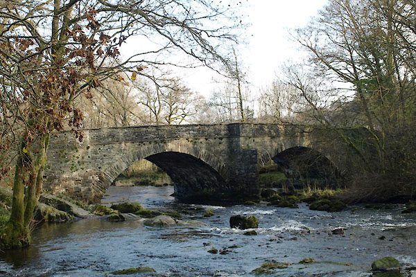
BVR45.jpg (taken 15.11.2011)
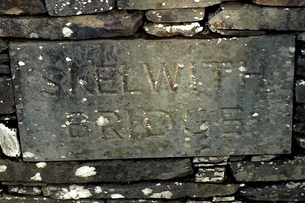
BVR46.jpg "SKELWITH / BRIDGE" (taken 15.11.2011)
|
|
|
| evidence:- |
old map:- OS County Series (Wmd 26 9)
placename:- Skelwith Bridge
|
| source data:- |
Maps, County Series maps of Great Britain, scales 6 and 25
inches to 1 mile, published by the Ordnance Survey, Southampton,
Hampshire, from about 1863 to 1948.
|
|
|
| evidence:- |
old map:- Saxton 1579
|
| source data:- |
Map, hand coloured engraving, Westmorlandiae et Cumberlandiae Comitatus ie Westmorland
and Cumberland, scale about 5 miles to 1 inch, by Christopher Saxton, London, engraved
by Augustinus Ryther, 1576, published 1579-1645.
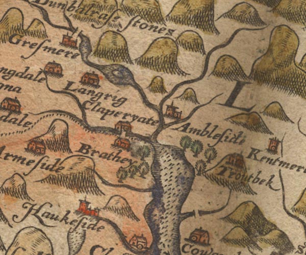
Sax9NY30.jpg
Bridge.
item:- private collection : 2
Image © see bottom of page
|
|
|
| evidence:- |
old map:- Jefferys 1770 (Wmd)
placename:- Skellet Bridge
|
| source data:- |
Map, 4 sheets, The County of Westmoreland, scale 1 inch to 1
mile, surveyed 1768, and engraved and published by Thomas
Jefferys, London, 1770.
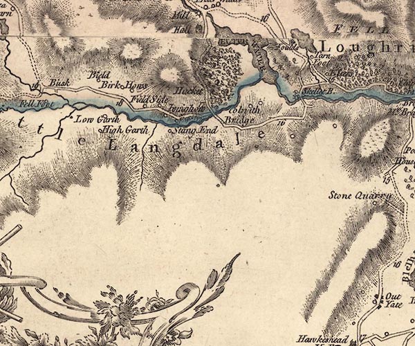
J5NY30SW.jpg
"Skellet B."
double line, road, across a stream; bridge
item:- National Library of Scotland : EME.s.47
Image © National Library of Scotland |
|
|
| evidence:- |
old map:- Clarke 1787 map (Windermere N)
placename:- Skellett Bridge
|
| source data:- |
Map, A Map of the Northern Part of the Lake Winandermere and its
Environs, scale about 6.5 ins to 1 mile, by James Clarke,
engraved by Samuel John Neele, 352 Strand, published by James
Clarke, Penrith, Cumberland and in London etc, 1787.
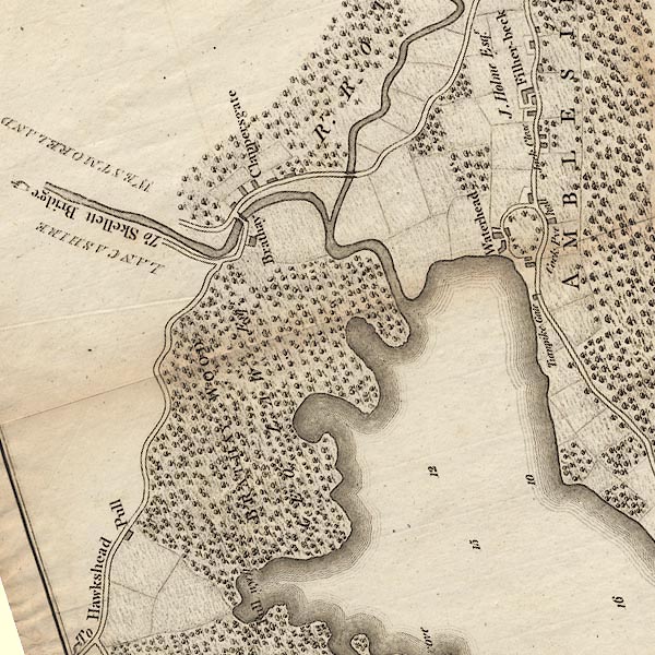
CLANY30R.jpg
A road near Windermere is labelled:- "To Skellett Bridge"
item:- private collection : 10.10
Image © see bottom of page
|
|
|
| evidence:- |
old map:- Garnett 1850s-60s H
placename:- Skelwith Bridge
|
| source data:- |
Map of the English Lakes, in Cumberland, Westmorland and
Lancashire, scale about 3.5 miles to 1 inch, published by John
Garnett, Windermere, Westmorland, 1850s-60s.
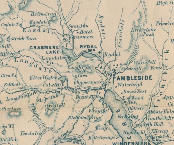
GAR2NY30.jpg
"Skelwith Br."
road crosses stream
item:- JandMN : 82.1
Image © see bottom of page
|
|
|
| evidence:- |
database:- Listed Buildings 2010
placename:- Skelwith Bridge
|
| source data:- |
courtesy of English Heritage
"SKELWITH BRIDGE (THAT PART WITHIN LAKES DISTRICT) / / / LAKES / SOUTH LAKELAND / CUMBRIA
/ II / 452842 / NY3444803380"
|
| source data:- |
courtesy of English Heritage
"Crosses River Brathay and Joins Lancashire and Westmorland. Traditional bridge of
local style but modern date. Stone, 2 segmental arches with centre triangular cutwaters,
and almost level and solid parapets."
|
|
|
| evidence:- |
old print:-
placename:- Skelwith Bridge
|
| source data:- |
Print, uncoloured engraving, Skelwith Bridge, Uniting High Furness with Westmoreland,
engraved by W J Welch, published 1870.
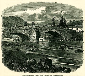 click to enlarge click to enlarge
PR0323.jpg
On page 6 of Furness, Past and Present.
printed at lower right:- "W. J. WELCH. SC"
printed at bottom:- "SKELWITH BRIDGE, UNITING HIGH FURNESS WITH WESTMORELAND."
item:- Dove Cottage : 2008.107.323
Image © see bottom of page
|
|
|
| evidence:- |
old drawing:-
placename:- Skelwith Bridge
|
| source data:- |
Drawing, Skelwith Bridge, Skelwith, Lancashire, by John Harper, 1840.
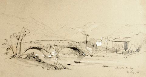 click to enlarge click to enlarge
PR1387.jpg
View of Skelwith Bridge near Ambleside. Double arched bridge in foreground over river.
Group of buildings on the right. Hills in background. Executed in pencil with touches
of white gouache on buff coloured paper. Preparatory sketch drawn on the spot by the
artist.
at bottom right:- "Skelwith Bridge. 31 Aug./40"
item:- Tullie House Museum : 2009.89.30
Image © Tullie House Museum |
|
|
| evidence:- |
old print:- Rose 1832-35
|
| source data:- |
Print, engraving, Skelwith Bridge, Westmorland, by Thomas Allom, engraved by T H Shepherd,
1835.
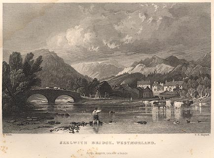 click to enlarge click to enlarge
R368.jpg
item:- JandMN : 66.42
Image © see bottom of page
|
|
|
| evidence:- |
old print:-
placename:- Skelwith Bridge
|
| source data:- |
Print, colotype, Winter near Skelwith Bridge, Lancashire, by A R Smith.
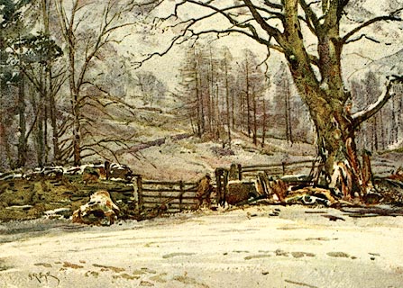 click to enlarge click to enlarge
PR0071.jpg
Included in The Striding Dales by Halliwell Sutcliffe?
printed at lower left:- "[A R Smith]"
item:- Dove Cottage : 2008.107.71
Image © see bottom of page
|
|
|
|
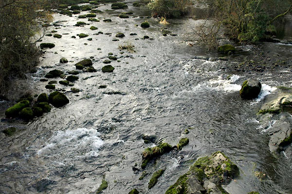
BVR47.jpg View of river.
(taken 15.11.2011)
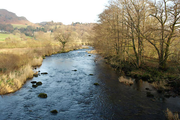
BVR48.jpg View of river.
(taken 15.11.2011)
|
|
|
hearsay:-
|
Early in the 19th century, sufferers from whooping cough were tied nose-to-tail across
the back of a donkey and walked across Skelwith Bridge.
|
|
|


 click to enlarge
 click to enlarge
 click to enlarge
 click to enlarge


 Lakes Guides menu.