 |
 |
   |
|
|
| runs into:- |
 Esk Estuary Esk Estuary |
|
|
|
|
| civil parish:- |
Kirkandrews (formerly Cumberland) |
| county:- |
Cumbria |
| locality type:- |
river |
| locality type:- |
boundary |
| locality type:- |
national boundary |
| locality type:- |
county boundary |
| 1Km square:- |
NY3372 (etc) |
| 10Km square:- |
NY37 |
| country:- |
Scotland |
| current boundary |
| locality:- |
Cumbria boundary |
|
|
|
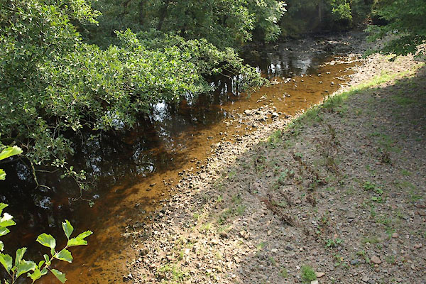
BTM40.jpg At Corries Mill Bridge.
(taken 3.9.2010)
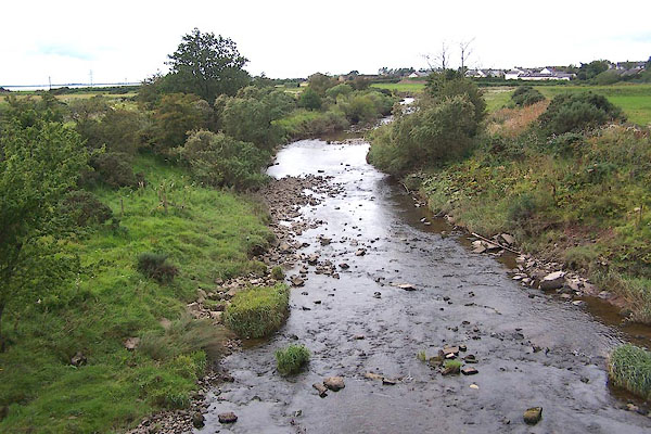
BOA98.jpg At Sark Bridge.
This is the border with Scotland.
(taken 31.8.2007)
|
|
|
| evidence:- |
old map:- OS County Series (Cmd 9A 12)
|
| source data:- |
Maps, County Series maps of Great Britain, scales 6 and 25
inches to 1 mile, published by the Ordnance Survey, Southampton,
Hampshire, from about 1863 to 1948.
"Ford"
"Ordinary Spring Tides / flow to this Ford"
|
|
|
| evidence:- |
old map:- OS County Series (Cmd 10 1)
placename:- Sark, River
|
| source data:- |
Maps, County Series maps of Great Britain, scales 6 and 25
inches to 1 mile, published by the Ordnance Survey, Southampton,
Hampshire, from about 1863 to 1948.
|
|
|
| evidence:- |
perhaps old map:- Paris 1240s
placename:-
|
| source data:- |
Map, version B, northern England, Scotland and part of Wales, by Matthew Paris, 1240s.
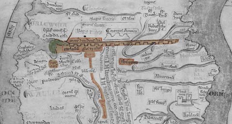 click to enlarge click to enlarge
PAR2Cm.jpg
Running into the Solway Firth.
derived from copyright image, courtesy of Corpus Christi College
item:- Corpus Christi, Cambridge : MS16.f4.5
Image © see bottom of page
|
|
|
| evidence:- |
old map:- Saxton 1579
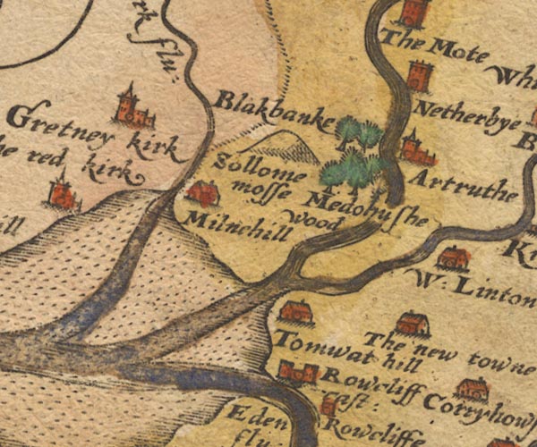
placename:- Sark Flu.
|
| source data:- |
Map, hand coloured engraving, Westmorlandiae et Cumberlandiae Comitatus ie Westmorland
and Cumberland, scale about 5 miles to 1 inch, by Christopher Saxton, London, engraved
by Augustinus Ryther, 1576, published 1579-1645.
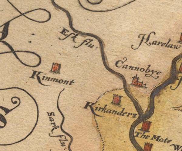
Sax9NY37.jpg
Sax9NY36.jpg
"Sark flu:"
item:- private collection : 2
Image © see bottom of page
|
|
|
| evidence:- |
old map:- Burghley 1590 (facsimile)
placename:- Serk flu.
|
| source data:- |
Facsimile map, A Platt of the Opposete Border of Scotland to ye West Marches of England,
parts of Cumberland and Scotland including the Debateable Land, from a manuscript
drawn for William Cecil, Lord Burghley, about 1590, published by R B Armstrong, 1897.
courtesy of the National Library of Scotland
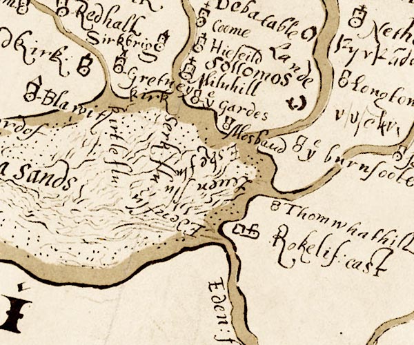
M048NY36.jpg
"Serk flu."
river
item:- National Library of Scotland : MS6113 f.267
Image © National Library of Scotland |
|
|
| evidence:- |
old map:- Mercator 1595 (edn?)
placename:-
|
| source data:- |
Map, hand coloured engraving, Northumbria, Cumberlandia, et
Dunelmensis Episcopatus, ie Northumberland, Cumberland and
Durham etc, scale about 6.5 miles to 1 inch, by Gerard Mercator,
Duisberg, Germany, about 1595.
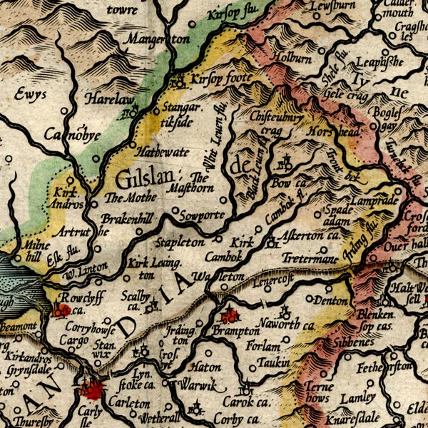
MER8CumA.jpg
""
double line with stream lines; river, running into the Solway
item:- JandMN : 169
Image © see bottom of page
|
|
|
| evidence:- |
old map:- Speed 1611 (Cum/EW)
|
| source data:- |
Map, hand coloured engraving, Kingdome of Great Britaine and
Ireland, scale about 36 miles to 1 inch, by John Speed, about
1610-11, published by Thomas Bassett, Fleet Street and Richard
Chiswell, St Paul's Churchyard, London, 1676?
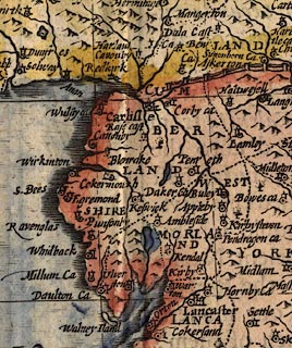 click to enlarge click to enlarge
SPD6Cm.jpg
tapering wiggly line, county boundary
item:- private collection : 85
Image © see bottom of page
|
|
|
| evidence:- |
old map:- Speed 1611 (Cmd)
placename:- Sark flud
|
| source data:- |
Map, hand coloured engraving, Cumberland and the Ancient Citie
Carlile Described, scale about 4 miles to 1 inch, by John Speed,
1610, published by J Sudbury and George Humble, Popes Head
Alley, London, 1611-12.
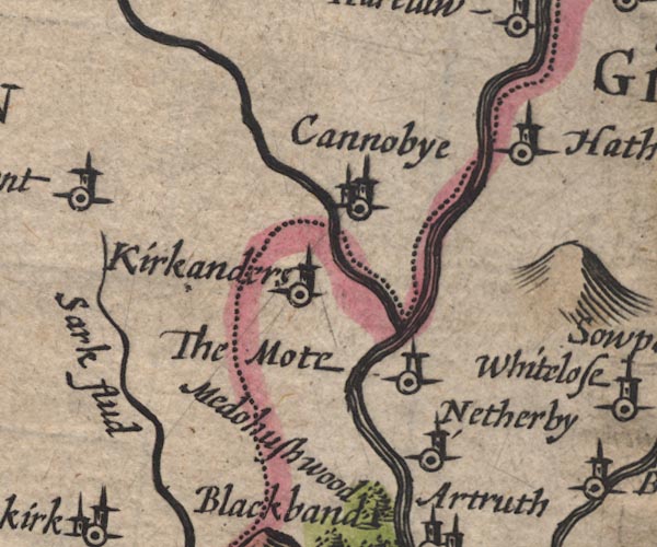
SP11NY37.jpg
"Sark flud"
double line
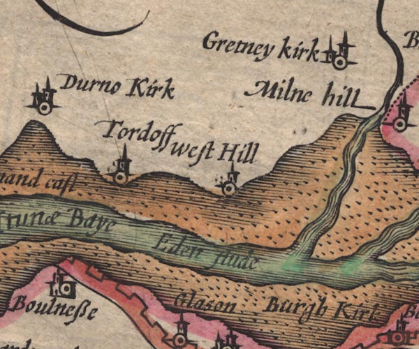
SP11NY26.jpg
estuary, runs into the Eden Estuary; Scotland
item:- private collection : 16
Image © see bottom of page
|
|
|
| evidence:- |
old map:- Jansson 1646
placename:- Sark Flud
|
| source data:- |
Map, hand coloured engraving, Cumbria and Westmoria, ie
Cumberland and Westmorland, scale about 3.5 miles to 1 inch, by
John Jansson, Amsterdam, Netherlands, 1646.
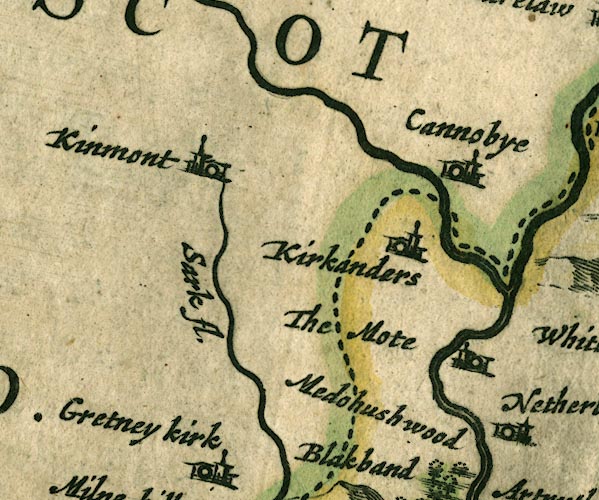
JAN3NY37.jpg
"Sark fl."
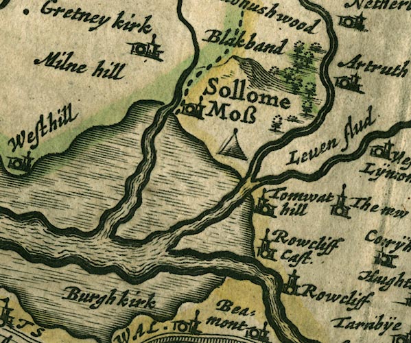
JAN3NY36.jpg
Single wiggly line; country boundary for a short stretch.
item:- JandMN : 88
Image © see bottom of page
|
|
|
| evidence:- |
old map:- Sanson 1679
|
| source data:- |
Map, hand coloured engraving, Ancien Royaume de Northumberland
aujourdhuy Provinces de Nort, ie the Ancient Kingdom of
Northumberland or the Northern Provinces, scale about 9.5 miles
to 1 inch, by Nicholas Sanson, Paris, France, 1679.
 click to enlarge click to enlarge
SAN2Cm.jpg
tapering wiggly line; river, county boundary with Scotland
item:- Dove Cottage : 2007.38.15
Image © see bottom of page
|
|
|
| evidence:- |
old map:- Seller 1694 (Cmd)
|
| source data:- |
Map, uncoloured engraving, Cumberland, scale about 12 miles to 1
inch, by John Seller, 1694.
 click to enlarge click to enlarge
SEL9.jpg
tapering wiggly line; river; county boundary
item:- Dove Cottage : 2007.38.89
Image © see bottom of page
|
|
|
| evidence:- |
old map:- Morden 1695 (EW)
|
| source data:- |
Map, hand coloured engraving, England, including Wales, scale
about 27 miles to 1 inch, by Robert Morden, published by Abel
Swale Awnsham and John Churchil, London, about 1695.
 click to enlarge click to enlarge
MRD3Cm.jpg
tapering wiggly line
item:- JandMN : 339
Image © see bottom of page
|
|
|
| evidence:- |
old map:- Morden 1695 (Cmd)
placename:- Sark River
|
| source data:- |
Map, uncoloured engraving, Cumberland, scale about 4 miles to 1
inch, by Robert Morden, 1695, published by Abel Swale, the
Unicorn, St Paul's Churchyard, Awnsham, and John Churchill, the
Black Swan, Paternoster Row, London, 1695-1715.
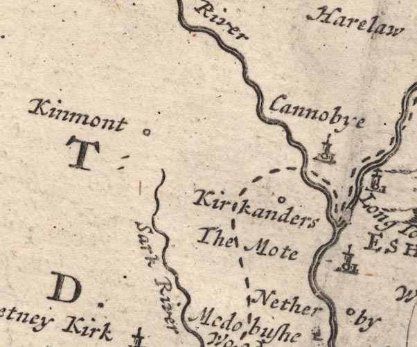
MD12NY37.jpg
"Sark River"
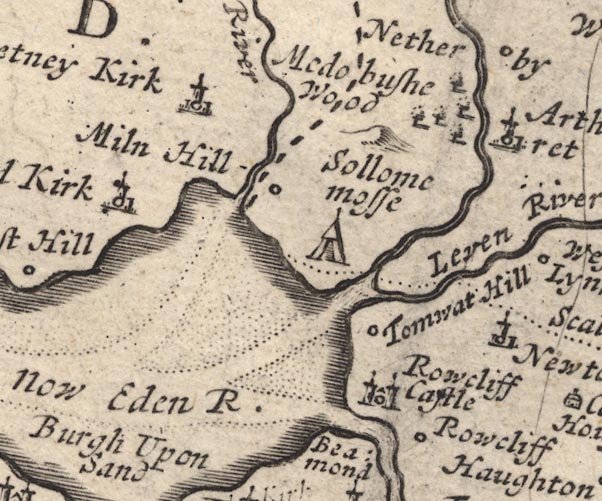
MD12NY36.jpg
item:- JandMN : 90
Image © see bottom of page
|
|
|
| evidence:- |
descriptive text:- Fiennes 1698
placename:- Serke, River
|
| source data:- |
Travel book, manuscript record of Journeys through England
including parts of the Lake District, by Celia Fiennes, 1698.
"Thence [River Eden] I went into Scotland over the river Serke which is also flowed
by the sea but in the summer tyme is not soe deep, but can be pass'd over tho' pretty
deep but narrow; it affords good fish ..."
|
|
|
| evidence:- |
old map:- Badeslade 1742
placename:-
|
| source data:- |
Map, uncoloured engraving, A Map of Cumberland North from
London, scale about 11 miles to 1 inch, with descriptive text,
by Thomas Badeslade, London, engraved and published by William
Henry Toms, Union Court, Holborn, London, 1742.
 click to enlarge click to enlarge
BD10.jpg
""
tapering wiggly line
item:- JandMN : 115
Image © see bottom of page
|
|
|
| evidence:- |
old map:- Bowen and Kitchin 1760
|
| source data:- |
Map, hand coloured engraving, A New Map of the Counties of
Cumberland and Westmoreland Divided into their Respective Wards,
scale about 4 miles to 1 inch, by Emanuel Bowen and Thomas
Kitchin et al, published by T Bowles, Robert Sayer, and John
Bowles, London, 1760.
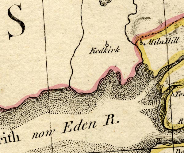
BO18NY26.jpg
wiggly line, national boundary Cumberland Scotland, into the sea
item:- Armitt Library : 2008.14.10
Image © see bottom of page
|
|
|
| evidence:- |
old map:- Donald 1774 (Cmd)
placename:- White Sark
|
| source data:- |
Map, hand coloured engraving, 3x2 sheets, The County of Cumberland, scale about 1
inch to 1 mile, by Thomas Donald, engraved and published by Joseph Hodskinson, 29
Arundel Street, Strand, London, 1774.
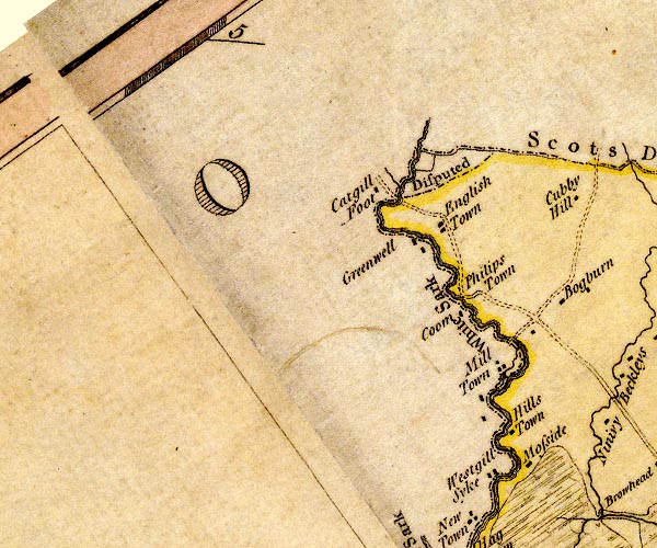
D4NY37SW.jpg
"White Sark"
single or double wiggly line; a river and county boundary
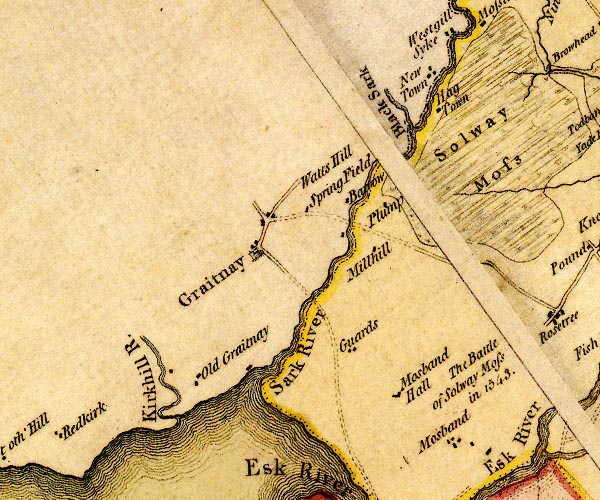
D4NY36NW.jpg
"Sark River"
single or double wiggly line; a river and national boundary
item:- Carlisle Library : Map 2
Images © Carlisle Library |
|
|
| evidence:- |
road book:- Cary 1798 (2nd edn 1802)
placename:- Sark, River
|
| source data:- |
Road book, itineraries, Cary's New Itinerary, by John Cary, 181
Strand, London, 2nd edn 1802.
 goto source goto source
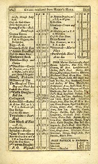 click to enlarge click to enlarge
C38269.jpg
page 269-270 "Cross the Sark River"
 goto source goto source
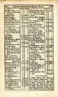 click to enlarge click to enlarge
C38283.jpg
page 283-284 "Cross the Sark River"
item:- JandMN : 228.1
Image © see bottom of page
|
|
|
| evidence:- |
old map:- Cooper 1808
placename:- Sark River
|
| source data:- |
Map, uncoloured engraving, Cumberland, scale about 10.5 miles to
1 inch, drawn and engraved by Cooper, published by R Phillips,
Bridge Street, Blackfriars, London, 1808.
 click to enlarge click to enlarge
COP3.jpg
"Sark R."
tapering wiggly line; river, county boundary with Scotland
item:- JandMN : 86
Image © see bottom of page
|
|
|
| evidence:- |
old map:- Hall 1820 (Cmd)
|
| source data:- |
Map, hand coloured engraving, Cumberland, scale about 21 miles
to 1 inch, engraved by Sidney Hall, published by S Leigh, 18
Strand, London, 1820-31.
 click to enlarge click to enlarge
HA14.jpg
tapering wiggly line; river; county boundary
item:- JandMN : 91
Image © see bottom of page
|
|
|
| evidence:- |
old map:- Perrot 1823
|
| source data:- |
Map, hand coloured engraving, Cumberland and Westmoreland ie
Westmorland, scale about 38 miles to 1 inch, by Aristide Michel
Perrot, engraved by Migneret, 1823, published by Etienne Ledoux,
9 Rue Guenegaud, Paris, France, 1824-48.
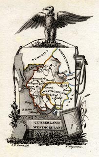 click to enlarge click to enlarge
PER2.jpg
tapering wiggly line, county boundary
item:- Dove Cottage : 2007.38.45
Image © see bottom of page
|
|
|
| evidence:- |
old map:- Ford 1839 map
placename:- Sark River
|
| source data:- |
Map, uncoloured engraving, Map of the Lake District of
Cumberland, Westmoreland and Lancashire, scale about 3.5 miles
to 1 inch, published by Charles Thurnam, Carlisle, and by R
Groombridge, 5 Paternoster Row, London, 3rd edn 1843.
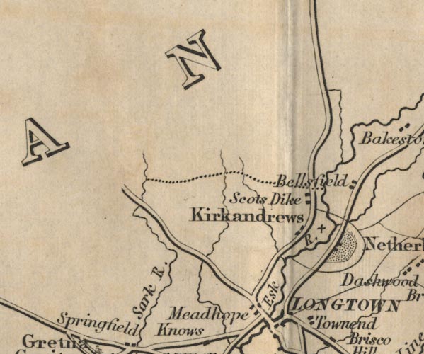
FD02NY37.jpg
"Sark R."
item:- JandMN : 100.1
Image © see bottom of page
|
|
|
|
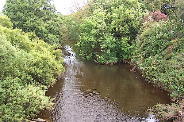
BOA99.jpg At Sark Bridge.
(taken 31.8.2007)
|
|
|
| places:- |
 |
NY34087095 Benson's Pool (Kirkandrews) |
|
|
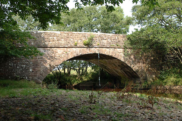 |
NY34527183 Corries Mill Bridge (Kirkandrews) |
|
|
 |
NY32436686 ford, Kirkandrews (Kirkandrews) |
|
|
 |
NY33006716 Guards Mill (Kirkandrews) |
|
|
 |
NY32846702 mill, Kirkandrews (2) (Kirkandrews) gone |
|
|
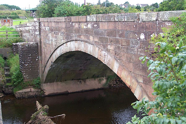 |
NY33166801 Plump Bridge (Kirkandrews) |
|
|
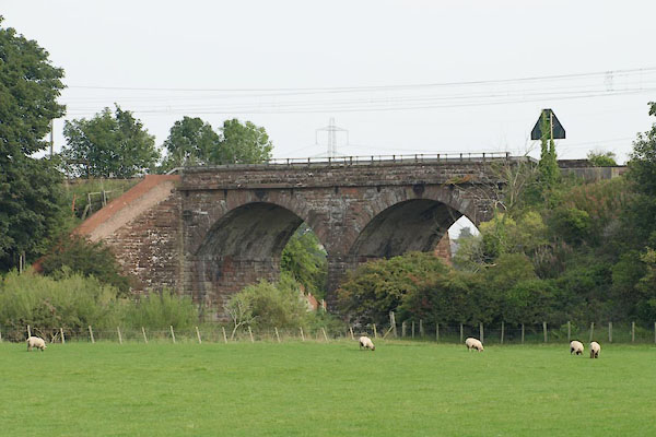 |
NY33236756 railway bridge, Kirkandrews (2) (Kirkandrews) |
|
|
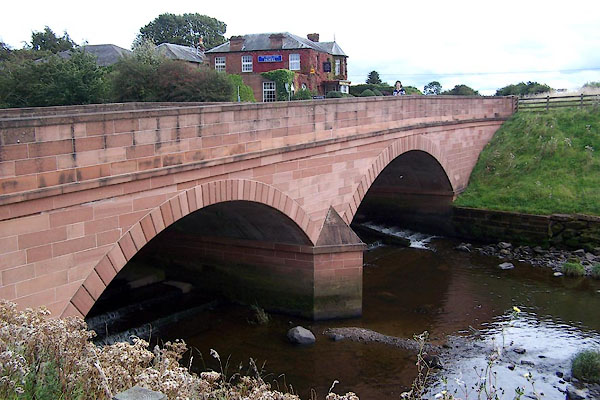 |
NY32716698 Sark Bridge (Kirkandrews) |
|


 Esk Estuary

 click to enlarge


 click to enlarge


 click to enlarge
 click to enlarge
 click to enlarge

 click to enlarge


 goto source
 click to enlarge
 goto source
 click to enlarge
 click to enlarge
 click to enlarge
 click to enlarge


