Old Cumbria Gazetteer
 |
 |
|
||
| Newland Beck | ||||
| runs into:- |  canal feeder, Ulverston Canal canal feeder, Ulverston Canal |
|||
|
|
||||
| runs into:- | Leven, River Greenodd Sands, Egton with Newland |
|||
|
|
||||
| civil parish:- | Mansriggs (formerly Lancashire) | |||
| civil parish:- | Egton with Newland (formerly Lancashire) | |||
| county:- | Cumbria | |||
| locality type:- | river | |||
| locality type:- | boundary | |||
| locality type:- | parish boundary | |||
| 1Km square:- | SD3080 (etc) | |||
| 10Km square:- | SD38 | |||
| 10Km square:- | SD37 | |||
|
|
||||
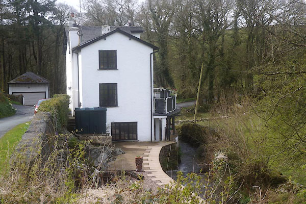
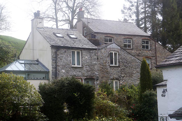
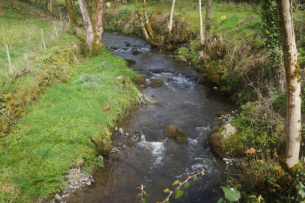
 CEY22.jpg (taken 29.4.2016) |
||||
|
|
||||
| evidence:- | old map:- OS County Series (Lan 11 11) placename:- Newland Beck |
|||
| source data:- | Maps, County Series maps of Great Britain, scales 6 and 25
inches to 1 mile, published by the Ordnance Survey, Southampton,
Hampshire, from about 1863 to 1948. OS County Series (Lan 11 16) |
|||
|
|
||||
| evidence:- | possibly old map:- Sanson 1679 |
|||
| source data:- | Map, hand coloured engraving, Ancien Royaume de Northumberland
aujourdhuy Provinces de Nort, ie the Ancient Kingdom of
Northumberland or the Northern Provinces, scale about 9.5 miles
to 1 inch, by Nicholas Sanson, Paris, France, 1679. click to enlarge click to enlargeSAN2Cm.jpg tapering wiggly line; river item:- Dove Cottage : 2007.38.15 Image © see bottom of page |
|||
|
|
||||
| evidence:- | old map:- West 1784 map |
|||
| source data:- | Map, hand coloured engraving, A Map of the Lakes in Cumberland,
Westmorland and Lancashire, scale about 3.5 miles to 1 inch,
engraved by Paas, 53 Holborn, London, about 1784.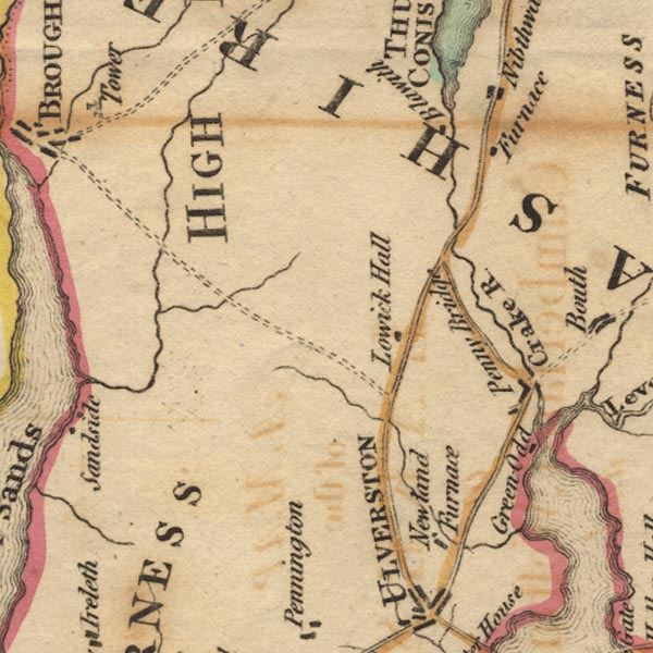 Ws02SD28.jpg item:- Armitt Library : A1221.1 Image © see bottom of page |
|||
|
|
||||
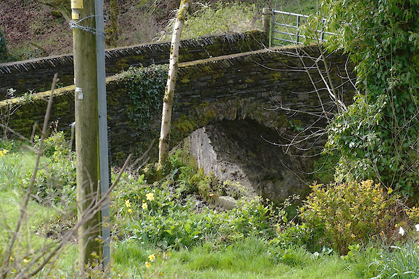
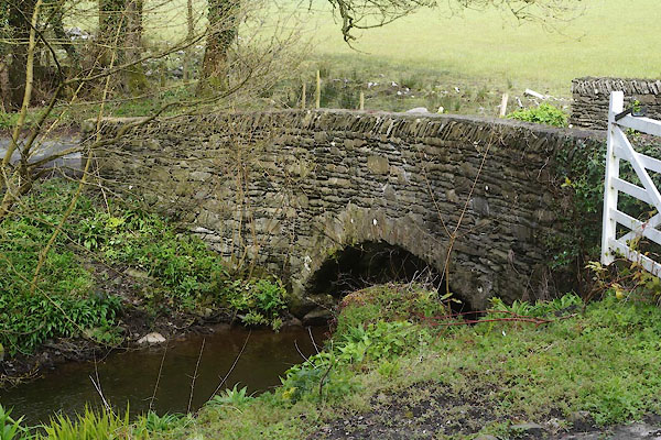
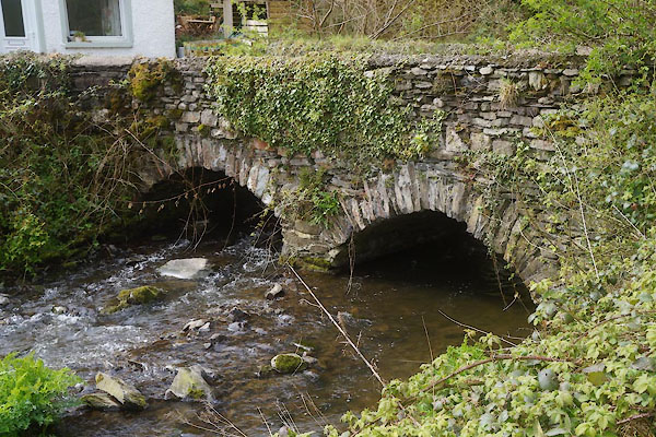
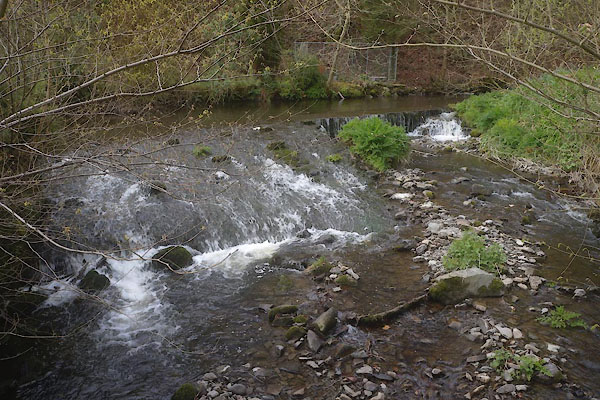
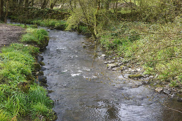
 CEY29.jpg (taken 29.4.2016) 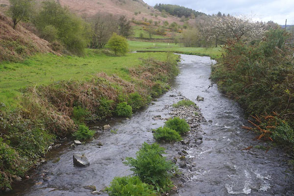 CEY31.jpg (taken 29.4.2016) |
||||
|
|
||||
| places:- |
|
|||
|
||||
|
||||
|
||||
|
||||
|
||||
|
||||
|
||||
|
||||
|
||||
|
||||
Lakes Guides menu.