


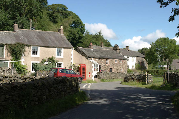
BVD98.jpg (taken 9.8.2011)
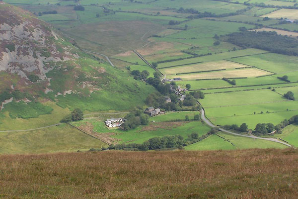
BVC95.jpg (taken 3.8.2011)
placename:- Mosedale
placename:- Mosedale
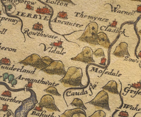
Sax9NY23.jpg
Tower, symbol for a house, hall, tower, etc. "Mosedale"
item:- private collection : 2
Image © see bottom of page
placename:- Mosedale
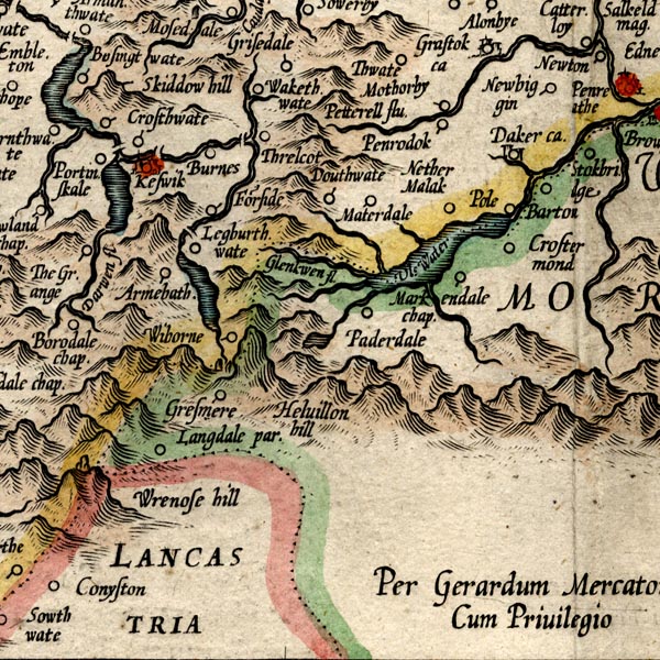
MER8CumF.jpg
"Mosedale"
circle
item:- JandMN : 169
Image © see bottom of page
placename:- Mosedale
 click to enlarge
KER8.jpg
"Mosedale"
dot, circle and tower; village
item:- Dove Cottage : 2007.38.110
Image © see bottom of page
placename:- Mosedale
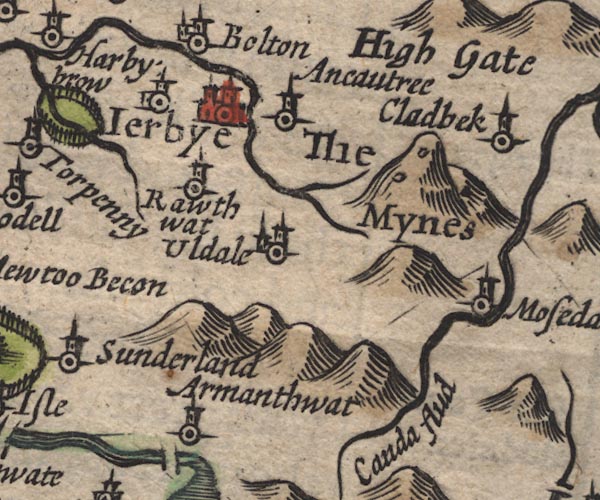
SP11NY23.jpg
"Mosedale"
circle, tower
item:- private collection : 16
Image © see bottom of page
placename:- Misedale

JEN4Sq.jpg
"Misedale"
circle
placename:- Mosedale
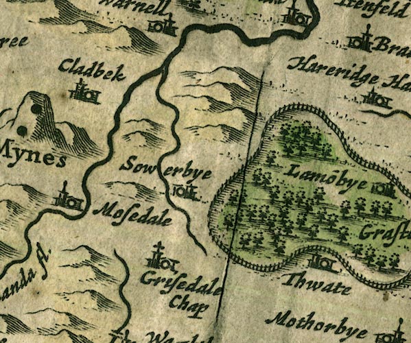
JAN3NY33.jpg
"Mosedale"
Buildings and tower.
item:- JandMN : 88
Image © see bottom of page
placename:- Mosedale
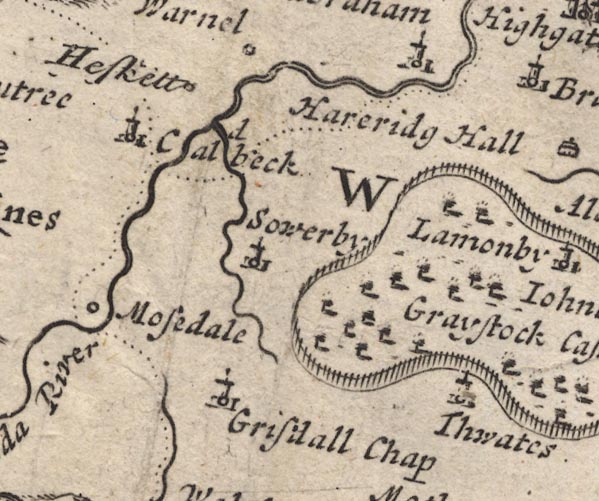
MD12NY33.jpg
"Mosedale"
Circle.
item:- JandMN : 90
Image © see bottom of page
placename:- Mosedale
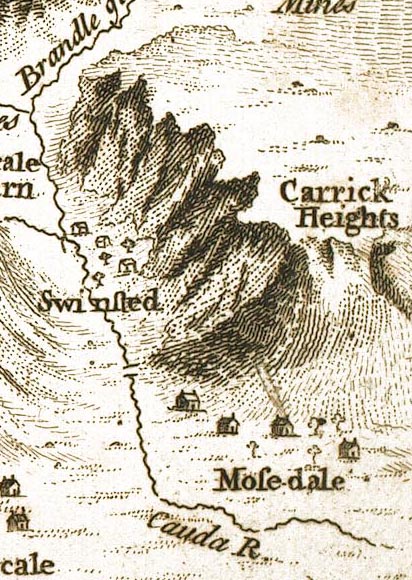
GM1406.jpg
"Mosedale"
buildings
item:- Carlisle Library : Map 43
Image © Carlisle Library
placename:- Mosedale
 goto source
Page 522:- "... the neighbourhood of Mose-dale; here I found villages in the narrow bottoms, that feel no more benefit from the solar rays for two months about the winter solstice, than the old Cimmerians, or the Laplanders who inhabit about the North Cape of Norway."
placename:- Mosedale
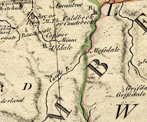
BO18NY23.jpg
"Mosedale"
circle and line
item:- Armitt Library : 2008.14.10
Image © see bottom of page
placename:- Mossdale
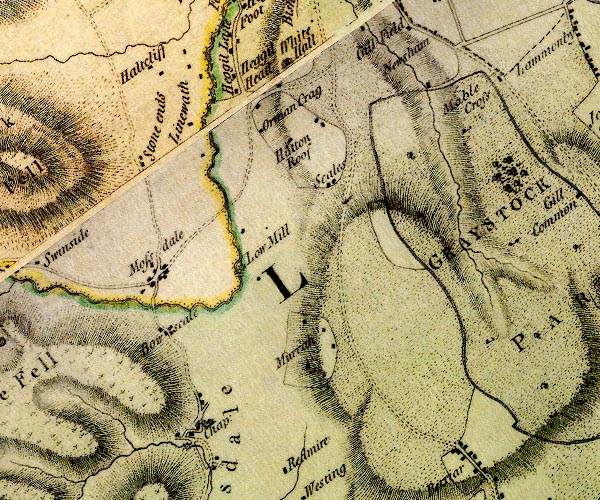
D4NY33SE.jpg
"Mossdale"
block or blocks, labelled in lowercase; a hamlet or just a house
item:- Carlisle Library : Map 2
Image © Carlisle Library
placename:- Mosdale
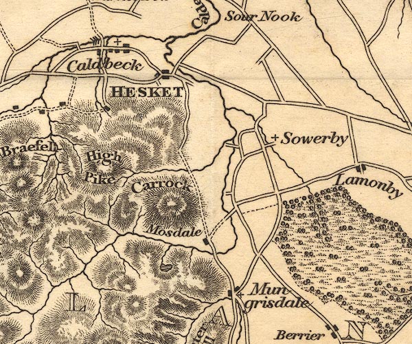
OT02NY33.jpg
item:- JandMN : 48.1
Image © see bottom of page
placename:- Mossdale
 click to enlarge
HA14.jpg
"Mossdale"
circle, italic lowercase text; settlement
item:- JandMN : 91
Image © see bottom of page
placename:- Mossdale
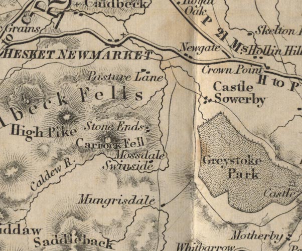
FD02NY33.jpg
"Mossdale"
item:- JandMN : 100.1
Image © see bottom of page
placename:- Mosedale
item:- whirlwind
 goto source
Page 7:- "..."
"Several years ago, the following curious incident happened to a farmer, a member of the Society of Friends, residing at ---, near Mosedale. He was carrying a large sheet full of hay, on his shoulders, wherewith to feed his sheep on Carrock Fell, when he, along with his load, was suddenly taken up by one of these whirlwinds. He had, however, presence of mind to slip his arms out of the sheet, as quickly as possible, and before attaining any great height, or he must inevitably have been killed, as the sheet was afterwards found amongst the mountains, at a great distance. As it were, he sustained considerable injury. However incredible this occurrence may seem, I am quite prepared to vouch for its authenticity."
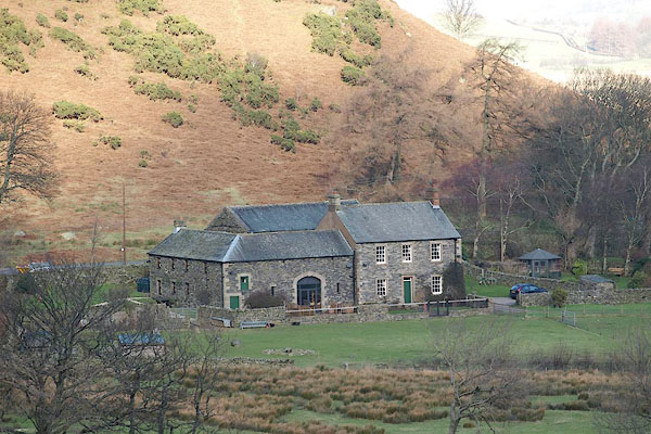
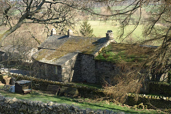
BOK94.jpg A farm in Mosedale.
(taken 6.2.2008)
 |
NY35303249 bield, Mungrisdale (6) (Mungrisdale) |
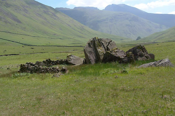 |
NY17901039 bield, Nether Wasdale (2) (Nether Wasdale) |
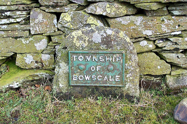 |
NY35703197 boundary stone, Bowscale (Mungrisdale) |
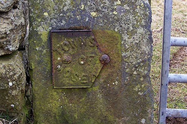 |
NY36563249 boundary stone, Mosedale (Mungrisdale) L |
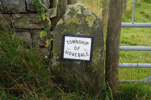 |
NY36553249 boundary stone, Mungrisedale (Mungrisdale) |
 |
NY3233 Brandy Gill (Mungrisdale) |
 |
NY32233377 Brandy Gill Level (Mungrisdale) |
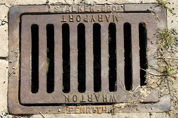 |
NY35693239 drain, Mosedale (Mungrisdale) |
 |
NY14631751 gate, Loweswater (Loweswater) |
 |
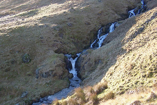
NY1810 Gatherstone Beck (Nether Wasdale) |
 |
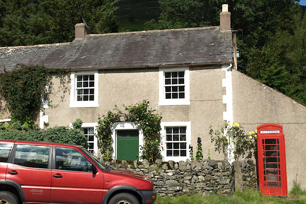
NY4909 Great Grain Gill (Longsleddale) |
 |
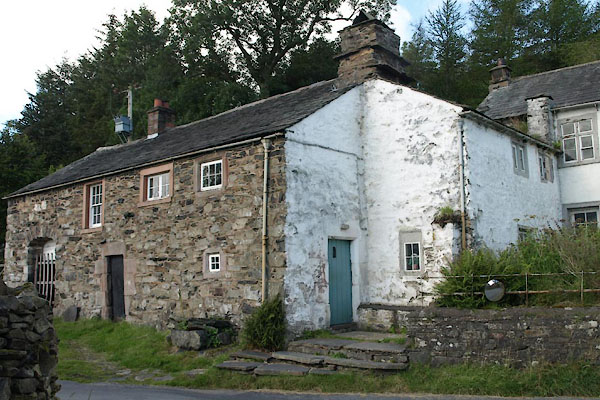
NY35693227 house, Mosedale (Mungrisdale) |
 |
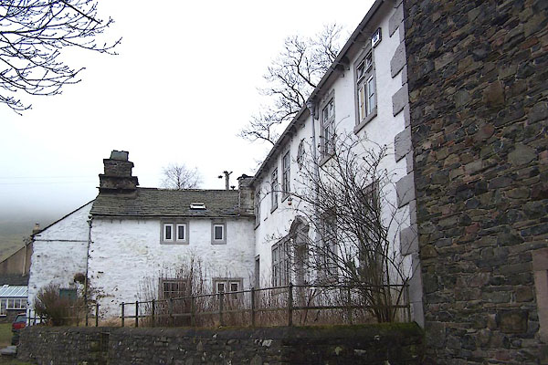
NY35623227 Middle Farm Cottage (Mungrisdale) L |
 |
NY35703232 Middles' Farm (Mungrisdale) L |
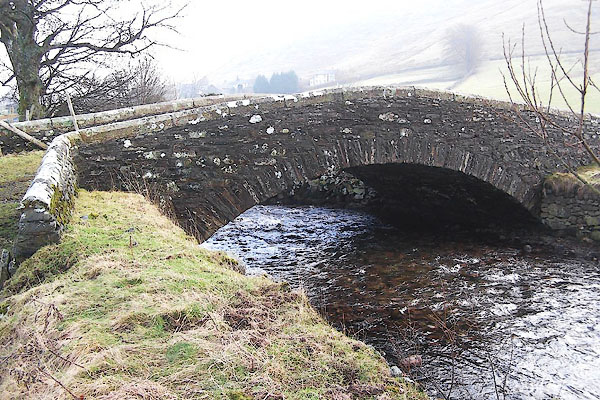 |
NY35703199 Mosedale Bridge (Mungrisdale) L |
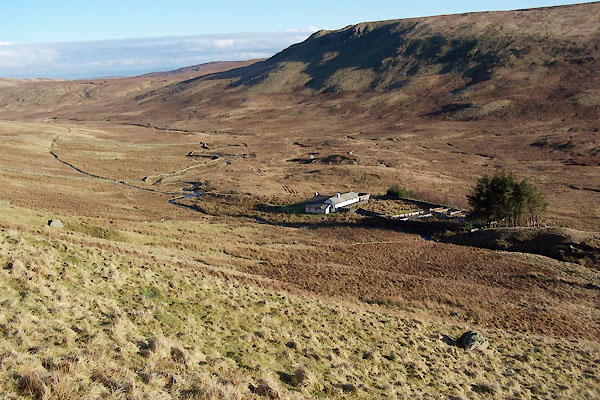 |
NY49480949 Mosedale Cottage (Shap Rural) |
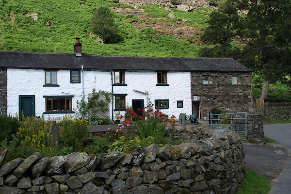 |
NY35693243 Mosedale End Farm (Mungrisdale) |
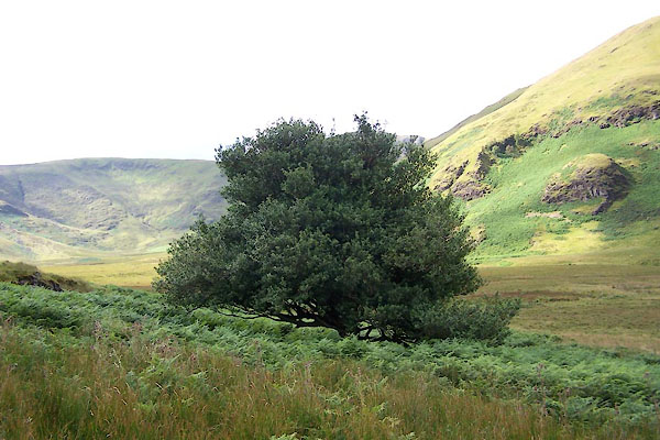 |
NY14151836 Mosedale Holly Tree (Loweswater) |
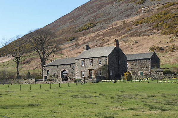 |
NY35593214 Mosedale House (Mungrisdale) L |
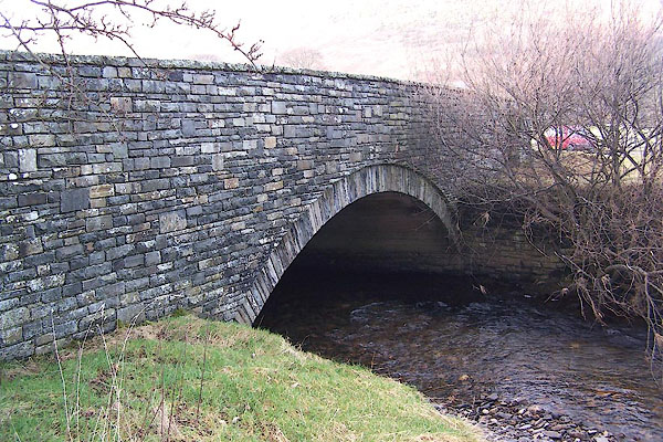 |
NY35663202 Mosedale New Bridge (Mungrisdale) |
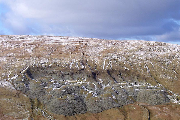 |
NY49400970 Mosedale Quarry (Shap Rural) |
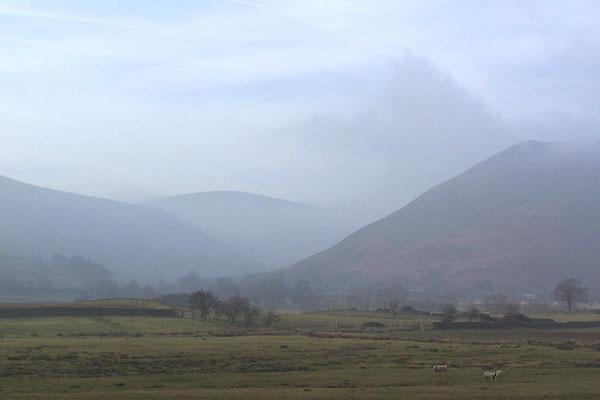 |
NY343324 Mosedale (Mungrisdale) |
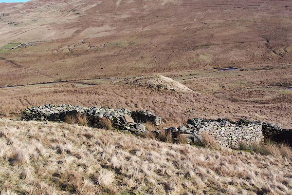 |
NY50591065 sheepfold, Mosedale (2) (Shap Rural) |
 |
NY34943214 sheepfold, Mungrisdale (11) (Mungrisdale) |
 |
NY35033275 sheepfold, Mungrisdale (13) (Mungrisdale) |
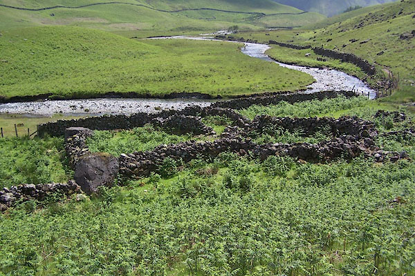 |
NY18040985 sheepfold, Nether Wasdale (5) (Nether Wasdale) |
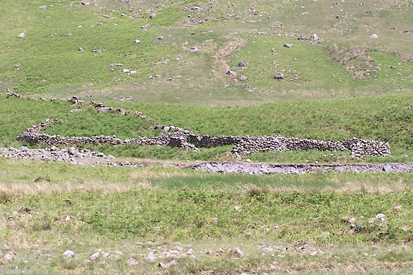 |
NY17801063 sheepfold, Nether Wasdale (6) (Nether Wasdale) |
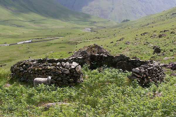 |
NY17781009 sheepfold, Nether Wasdale (7) (Nether Wasdale) |
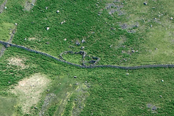 |
NY18311012 sheepfold, Nether Wasdale (10) (Nether Wasdale) |
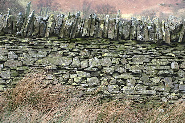 |
NY35453175 stone wall, Mosedale (Mungrisdale) |
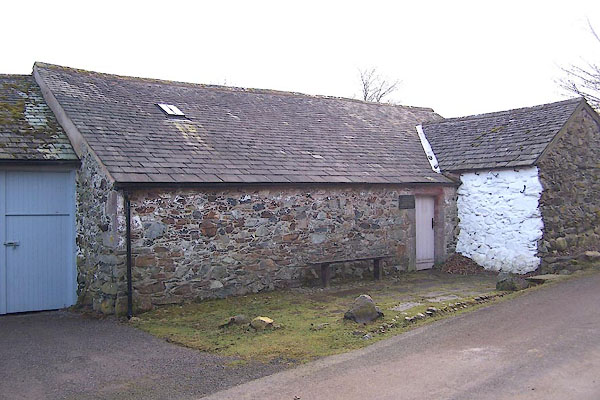 |
NY35683223 Mosedale Meeting House (Mungrisdale) L |
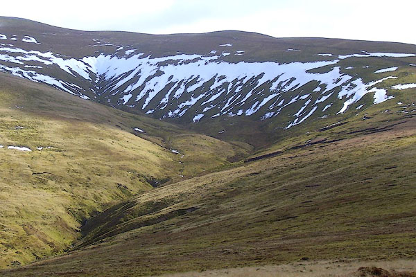 |
NY3523 Mosedale Beck river |
 |
NY35643219 Croft House (Mungrisdale) L |
