 Old Cumbria Gazetteer
 |
 |
|
| boundary stone, Bowscale | ||
| locality:- | Bowscale | |
| locality:- | Mosedale | |
| civil parish:- | Mungrisdale (formerly Cumberland) | |
| county:- | Cumbria | |
| locality type:- | boundary stone | |
| locality type:- | township boundary mark | |
| coordinates:- | NY35703197 | |
| 1Km square:- | NY3531 | |
| 10Km square:- | NY33 | |
|
|
||
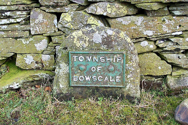 BLP58.jpg Cast iron plate on a stone:- "TOWNSHIP OF BOWSCALE" The companion plate, for Mosedale, was the other side of the bridge, but has gone missing. (taken 4.2.2006) 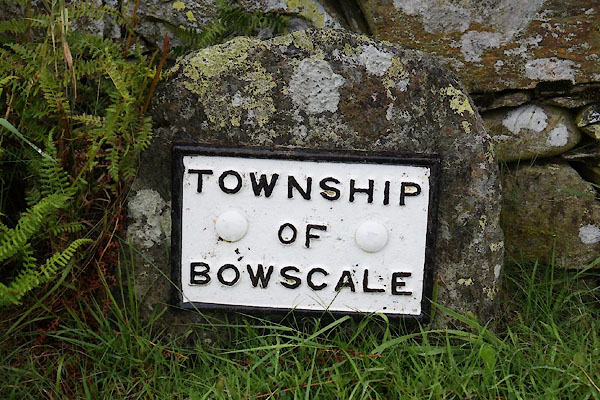 CBJ65.jpg Refurbished about 2012. (taken 15.8.2014) |
||
|
|
||
| notes:- |
Note from Colin Smith, probably 1999. |
|
| Mungrisdale 00005 |
||
| OS County Series (Cmd 48 14) |
||
|
|
||
 Lakes Guides menu.