button to main menu  Old Cumbria Gazetteer
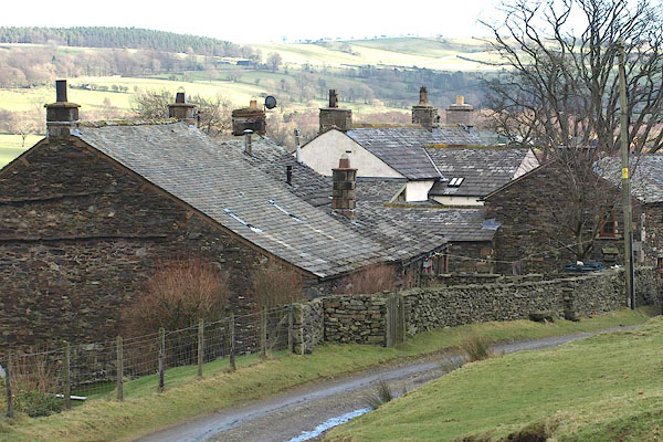
Bowscale, Mungrisdale
Bowscale
boughscle
civil parish:-   Mungrisdale (formerly Cumberland)
county:-   Cumbria
locality type:-   locality
locality type:-   buildings
coordinates:-   NY35873165 (etc) 
1Km square:-   NY3531
10Km square:-   NY33


photograph
BOP05.jpg (taken 6.2.2008)  
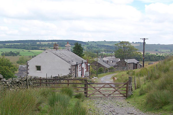
photograph
BVD04.jpg (taken 3.8.2011)  

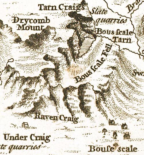
evidence:-   old map:- Gents Mag 1747
placename:-  Bouse Scale
source data:-   Map, uncoloured engraving, perspective view, Caudbeck Fells ie Caldbeck Fells, scale about 1+ miles to 1 inch, published in the Gentleman's Magazine, 1747.
image
GM1404.jpg
"Bouse scale"
buildings 
item:-  Carlisle Library : Map 43
Image © Carlisle Library

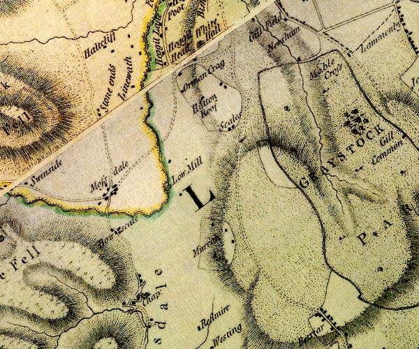
evidence:-   old map:- Donald 1774 (Cmd) 
placename:-  Bowscale
source data:-   Map, hand coloured engraving, 3x2 sheets, The County of Cumberland, scale about 1 inch to 1 mile, by Thomas Donald, engraved and published by Joseph Hodskinson, 29 Arundel Street, Strand, London, 1774.
image
D4NY33SE.jpg
"Bowscale"
block or blocks, labelled in lowercase; a hamlet or just a house 
item:-  Carlisle Library : Map 2
Image © Carlisle Library
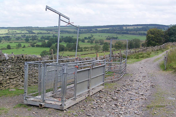

photograph
BVD05.jpg (taken 3.8.2011)  
photograph
BVD06.jpg (taken 3.8.2011)  
photograph
BVD07.jpg (taken 3.8.2011)  
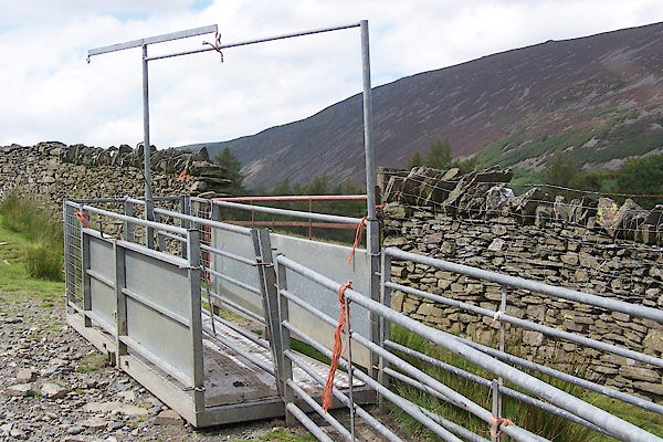
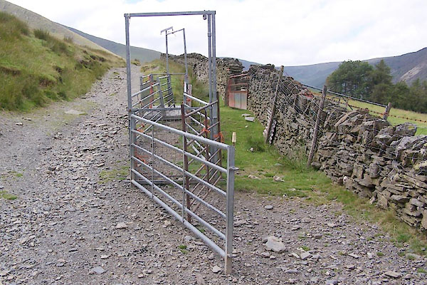
Apparatus for sheep ...

places:-  
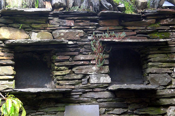
NY35873166 bee boles, Bowscale (Mungrisdale)
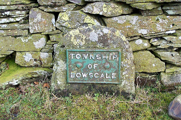
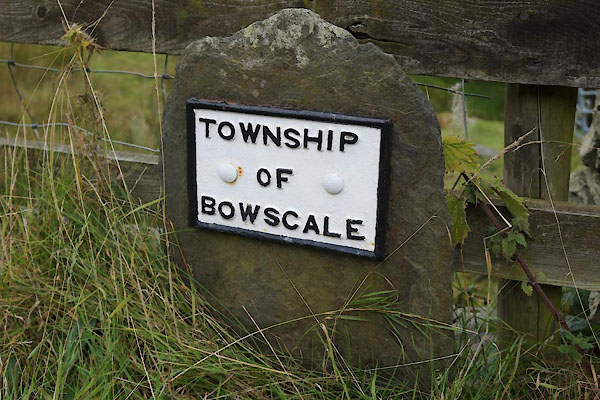
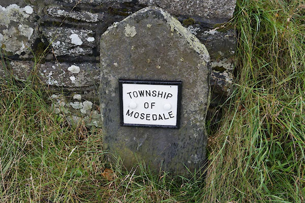
NY35703197 boundary stone, Bowscale (Mungrisdale)
NY36083125 boundary stone, Bowscale (2) (Mungrisdale)
NY35703199 boundary stone, Bowscale (3) (Mungrisdale)
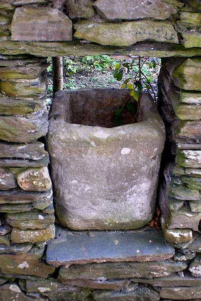
NY35853166 Piss Pot (Mungrisdale)
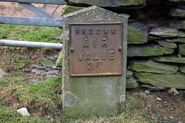
NY35733169 waterworks sign, Bowscale (Mungrisdale)
NY35923163 well, Bowscale (Mungrisdale)
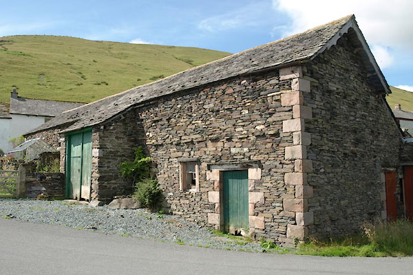
NY35863170 barn, Bowscale (Mungrisdale)
button to lakes menu  Lakes Guides menu.