 |
 |
   |
|
|
|
|
|
Mellerby |
| civil parish:- |
Ousby (formerly Cumberland) |
| county:- |
Cumbria |
| locality type:- |
locality |
| locality type:- |
buildings |
| coordinates:- |
NY61523735 (etc) |
| 1Km square:- |
NY6137 |
| 10Km square:- |
NY63 |
|
|
|
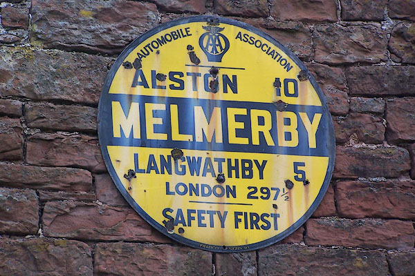
BNT34.jpg AA village sign, on the road to Gamblesby:-
"AUTOMOBILE ASSOCIATION / ALSTON 10 / MELMERBY / LANGWATHBY 5 / LONDON 297½/ SAFETY
FIRST" (taken 30.5.2007)
|
|
|
| evidence:- |
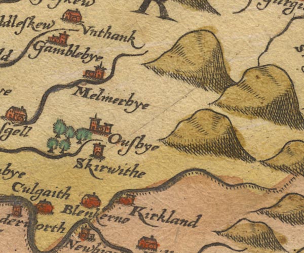
old map:- Saxton 1579
placename:- Melmerbye
|
| source data:- |
Map, hand coloured engraving, Westmorlandiae et Cumberlandiae Comitatus ie Westmorland
and Cumberland, scale about 5 miles to 1 inch, by Christopher Saxton, London, engraved
by Augustinus Ryther, 1576, published 1579-1645.
Sax9NY63.jpg
Church, symbol for a parish or village, with a parish church. "Melmerbye"
item:- private collection : 2
Image © see bottom of page
|
|
|
| evidence:- |
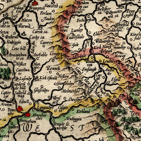
old map:- Mercator 1595 (edn?)
placename:- Melmerbye
|
| source data:- |
Map, hand coloured engraving, Northumbria, Cumberlandia, et
Dunelmensis Episcopatus, ie Northumberland, Cumberland and
Durham etc, scale about 6.5 miles to 1 inch, by Gerard Mercator,
Duisberg, Germany, about 1595.
MER8CumD.jpg
"Melmerbye"
circle
item:- JandMN : 169
Image © see bottom of page
|
|
|
| evidence:- |
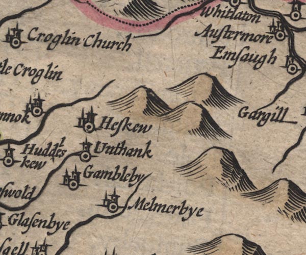
old map:- Speed 1611 (Cmd)
placename:- Melmerbye
|
| source data:- |
Map, hand coloured engraving, Cumberland and the Ancient Citie
Carlile Described, scale about 4 miles to 1 inch, by John Speed,
1610, published by J Sudbury and George Humble, Popes Head
Alley, London, 1611-12.
SP11NY64.jpg
"Melmerbye"
circle, building, tower
item:- private collection : 16
Image © see bottom of page
|
|
|
| evidence:- |
old map:- Jansson 1646
placename:- Melmerbye
|
| source data:- |
Map, hand coloured engraving, Cumbria and Westmoria, ie
Cumberland and Westmorland, scale about 3.5 miles to 1 inch, by
John Jansson, Amsterdam, Netherlands, 1646.
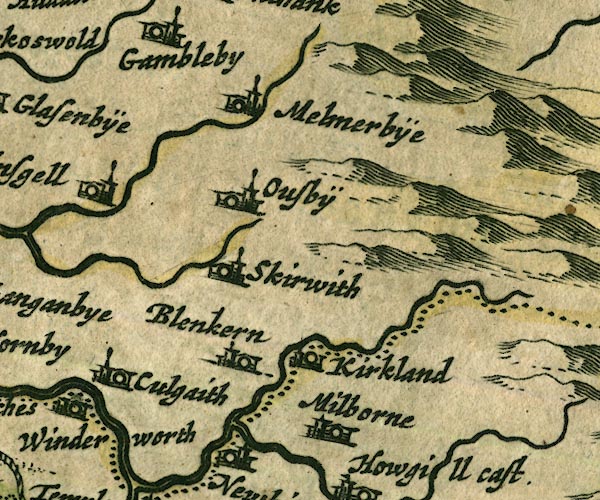
JAN3NY63.jpg
"Melmerbÿe"
Buildings and tower.
item:- JandMN : 88
Image © see bottom of page
|
|
|
| evidence:- |
old map:- Seller 1694 (Cmd)
placename:- Melmerbye
|
| source data:- |
Map, uncoloured engraving, Cumberland, scale about 12 miles to 1
inch, by John Seller, 1694.
 click to enlarge click to enlarge
SEL9.jpg
"Melmerbye"
no symbol
item:- Dove Cottage : 2007.38.89
Image © see bottom of page
|
|
|
| evidence:- |
old map:- Morden 1695 (Cmd)
placename:- Melmerby
|
| source data:- |
Map, uncoloured engraving, Cumberland, scale about 4 miles to 1
inch, by Robert Morden, 1695, published by Abel Swale, the
Unicorn, St Paul's Churchyard, Awnsham, and John Churchill, the
Black Swan, Paternoster Row, London, 1695-1715.
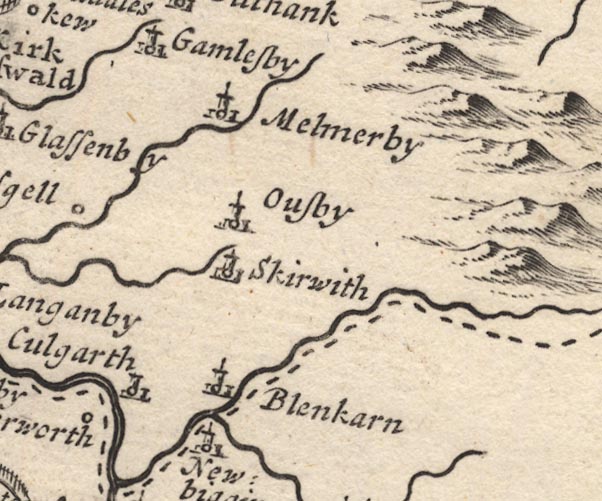
MD12NY63.jpg
"Melmerby"
Circle, building and tower.
item:- JandMN : 90
Image © see bottom of page
|
|
|
| evidence:- |
old map:- Badeslade 1742
placename:- Mellmerby
|
| source data:- |
Map, uncoloured engraving, A Map of Cumberland North from
London, scale about 11 miles to 1 inch, with descriptive text,
by Thomas Badeslade, London, engraved and published by William
Henry Toms, Union Court, Holborn, London, 1742.
 click to enlarge click to enlarge
BD10.jpg
"Mellmerby"
circle, italic lowercase text; village, hamlet or locality
item:- JandMN : 115
Image © see bottom of page
|
|
|
| evidence:- |
old map:- Simpson 1746 map (Wmd)
placename:- Melmerby
|
| source data:- |
Map, uncoloured engraving, Westmorland, scale about 8 miles to 1
inch, printed by R Walker, Fleet Lane, London, 1746.
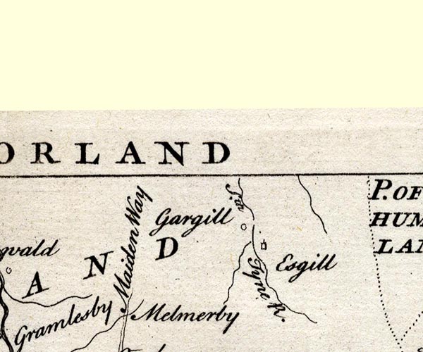
SMP2NYS.jpg
"Melmerby"
item:- Dove Cottage : 2007.38.59
Image © see bottom of page
|
|
|
| evidence:- |
old map:- Donald 1774 (Cmd)
placename:- Melmerby
|
| source data:- |
Map, hand coloured engraving, 3x2 sheets, The County of Cumberland, scale about 1
inch to 1 mile, by Thomas Donald, engraved and published by Joseph Hodskinson, 29
Arundel Street, Strand, London, 1774.
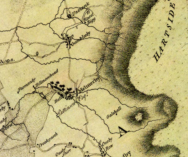
D4NY63NW.jpg
"Melmerby"
blocks, and usually a church, labelled in upright lowercase; a village
item:- Carlisle Library : Map 2
Image © Carlisle Library |
|
|
| evidence:- |
road book:- Cary 1798 (2nd edn 1802)
placename:- Melmerby
|
| source data:- |
Road book, itineraries, Cary's New Itinerary, by John Cary, 181
Strand, London, 2nd edn 1802.
 goto source goto source
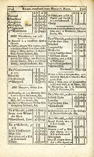 click to enlarge click to enlarge
C38319.jpg
page 319-320 "Melmerby"
item:- JandMN : 228.1
Image © see bottom of page
|
|
|
| evidence:- |
old map:- Laurie and Whittle 1806
placename:- Melmerby
|
| source data:- |
Road map, Continuation of the Roads to Glasgow and Edinburgh,
scale about 10 miles to 1 inch, by Nathaniel Coltman? 1806,
published by Robert H Laurie, 53 Fleet Street, London, 1834.
 click to enlarge click to enlarge
Lw21.jpg
"Melmerby 292"
village or other place; distance from London
item:- private collection : 18.21
Image © see bottom of page
|
|
|
| evidence:- |
old map:- Cooper 1808
placename:- Melmerby
|
| source data:- |
Map, uncoloured engraving, Cumberland, scale about 10.5 miles to
1 inch, drawn and engraved by Cooper, published by R Phillips,
Bridge Street, Blackfriars, London, 1808.
 click to enlarge click to enlarge
COP3.jpg
"Melmerby"
circle; village or hamlet
item:- JandMN : 86
Image © see bottom of page
|
|
|
| evidence:- |
old map:- Hall 1820 (Cmd)
placename:- Melmerby
|
| source data:- |
Map, hand coloured engraving, Cumberland, scale about 21 miles
to 1 inch, engraved by Sidney Hall, published by S Leigh, 18
Strand, London, 1820-31.
 click to enlarge click to enlarge
HA14.jpg
"Melmerby"
circle, italic lowercase text; settlement
item:- JandMN : 91
Image © see bottom of page
|
|
|
| evidence:- |
old map:- Ford 1839 map
placename:- Melmerby
|
| source data:- |
Map, uncoloured engraving, Map of the Lake District of
Cumberland, Westmoreland and Lancashire, scale about 3.5 miles
to 1 inch, published by Charles Thurnam, Carlisle, and by R
Groombridge, 5 Paternoster Row, London, 3rd edn 1843.
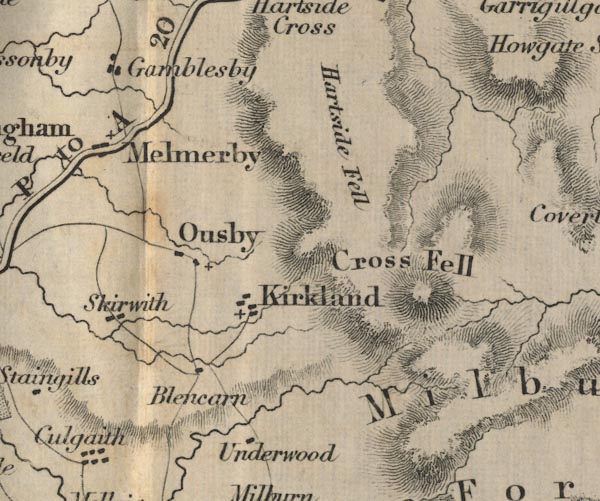
FD02NY63.jpg
"Melmerby"
item:- JandMN : 100.1
Image © see bottom of page
|
|
|
| evidence:- |
old map:- Garnett 1850s-60s H
placename:- Melmerby
|
| source data:- |
Map of the English Lakes, in Cumberland, Westmorland and
Lancashire, scale about 3.5 miles to 1 inch, published by John
Garnett, Windermere, Westmorland, 1850s-60s.
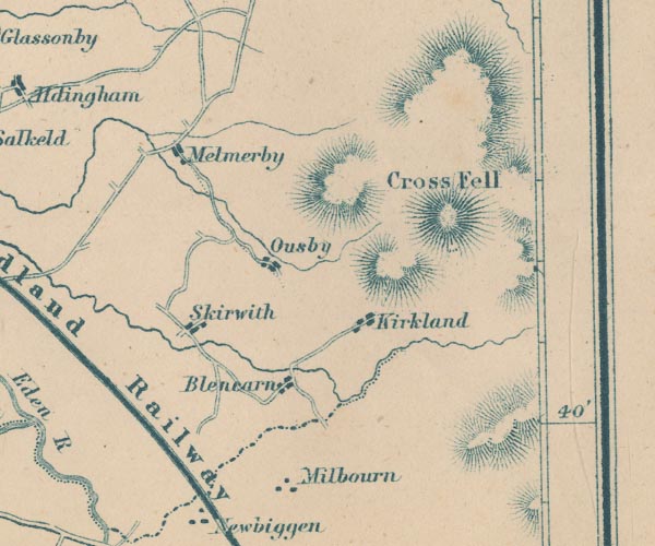
GAR2NY63.jpg
"Melmerby"
blocks, settlement
item:- JandMN : 82.1
Image © see bottom of page
|
|
|
| evidence:- |
market notes:-
placename:- Melmorby
item:- market
|
| source data:- |
www.history.ac.uk/cmh/gaz/gazweb2.htmPalmer's Index No.93:: Public Record Office |
|
|
| evidence:- |
old map:- Post Office 1850s-1900s
placename:- Melmerby
|
| source data:- |
Post road maps, General Post Office Circulation Map for England
and Wales, for the General Post Office, London, 1850s-1900s.
 click to enlarge click to enlarge
POF8Cm.jpg
"Melmerby"
map date 1873
|
|
|
| evidence:- |
old map:- Post Office 1850s-1900s
placename:- Melmerby
|
| source data:- |
Post road maps, General Post Office Circulation Map for England
and Wales, for the General Post Office, London, 1850s-1900s.
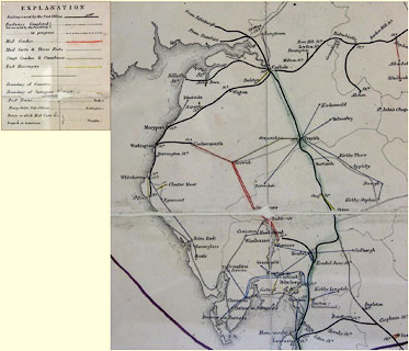 click to enlarge click to enlarge
POF9Cm.jpg
"Melmerby"
map date 1863
|
|
|
:-
|
images courtesy of the British Postal Museum and Hampshire CC Museums
|
|
|
hearsay:-
|
Melmerby was the last place in Westmorland that had a midsummer fire; though they
had it on the July 4 rather than the usual eve of St John's day. The fire was traditional
a bone fire, whose awful smell was hoped to drive away evil spirits and dragons. There
were, of course, sports and drinking, merrymaking lasting long into the night.
|
|
|
| places:- |
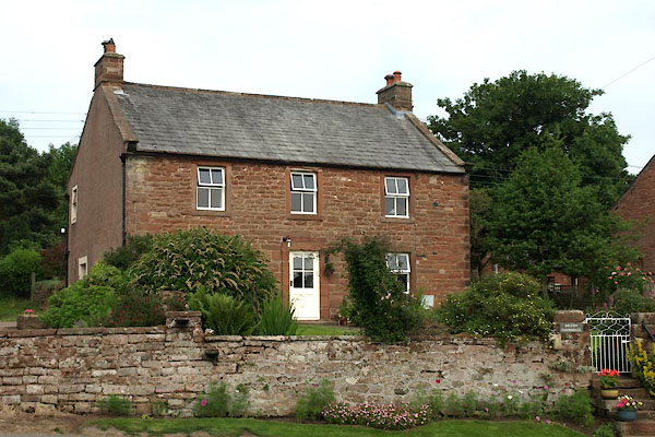 |
NY61543740 Bolton Farmhouse (Ousby) |
|
|
 |
NY61453730 cock pit, Melmerby (Ousby) |
|
|
 |
NY6137 college, Melmerby (Ousby) |
|
|
 |
NY61463725 Green, The (Ousby) |
|
|
 |
NY6236 Holm Beck (Ousby) |
|
|
 |
NY6037 Melmerby Beck (Ousby) |
|
|
 |
NY61133736 Melmerby Hall (Ousby) L out of sight |
|
|
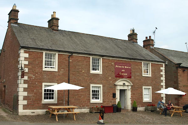 |
NY61533738 Melmerby Stores and Tearoom (Ousby) L |
|
|
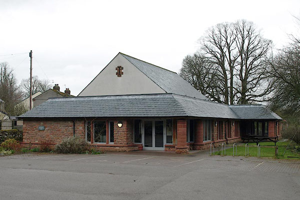 |
NY61233739 Melmerby Village Hall (Ousby) |
|
|
 |
NY61553744 police station, Melmerby (Ousby) |
|
|
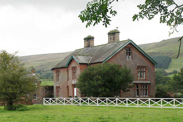 |
NY61163757 Ravenstone (Ousby) |
|
|
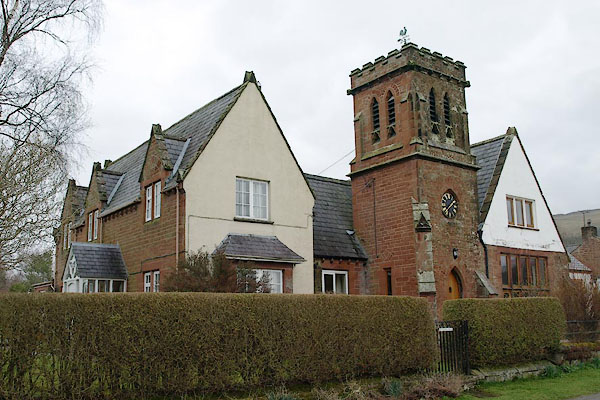 |
NY61393738 Old School House (Ousby) |
|
|
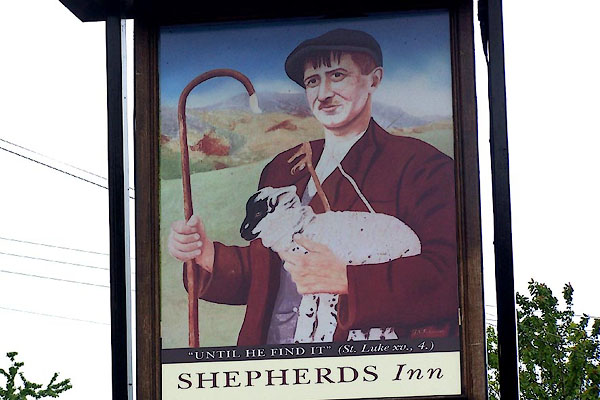 |
NY61533737 Shepherds Inn (Ousby) L |
|
|
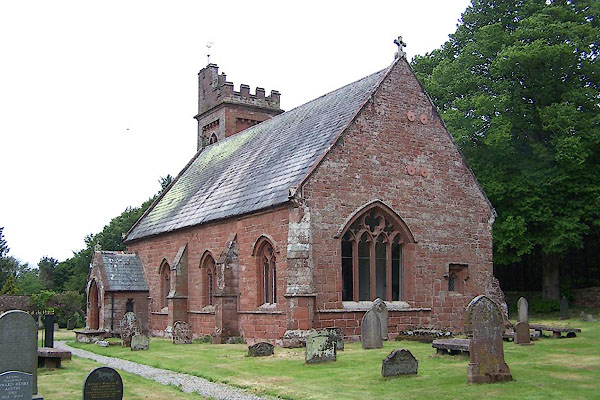 |
NY61103744 St John's Church (Ousby) L |
|
|
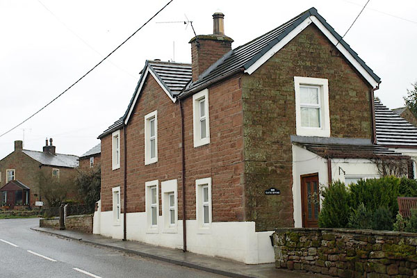 |
NY61503746 Gate House (Ousby) |
|
|
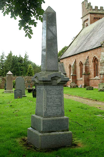 |
NY61103743 war memorial, Melmerby (Ousby) |
|
|
 |
NY59883705 White Mires (Ousby) |
|
|
 |
NY61533732 bridge, Melmerby (Ousby) |
|
|
 |
NY61243719 bridge, Melmerby (2) (Ousby) |
|
|
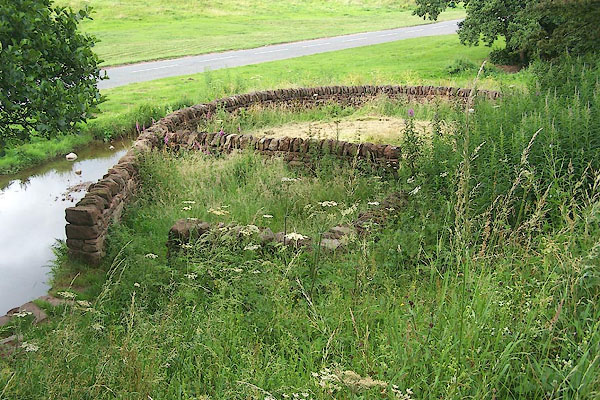 |
NY61403728 Melmerby Washfold (Ousby) |
|


 click to enlarge
 click to enlarge

 goto source
 click to enlarge
 click to enlarge
 click to enlarge
 click to enlarge

 click to enlarge
 click to enlarge


