 Old Cumbria Gazetteer
 |
 |
|
| toll gate, Melmerby | ||
| Gate House | ||
| site name:- | road, Penrith to Alston | |
| locality:- | Melmerby | |
| civil parish:- | Ousby (formerly Cumberland) | |
| county:- | Cumbria | |
| locality type:- | toll gate (site) | |
| locality type:- | toll house (ex) | |
| coordinates:- | NY61503746 | |
| 1Km square:- | NY6137 | |
| 10Km square:- | NY63 | |
| references:- | OS County Series |
|
|
|
||
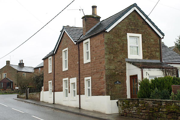 BSJ36.jpg Gate House, where the gate was. (taken 26.3.2010) |
||
|
|
||
| evidence:- | old map:- OS County Series (Cmd 50) |
|
| source data:- | Maps, County Series maps of Great Britain, scales 6 and 25
inches to 1 mile, published by the Ordnance Survey, Southampton,
Hampshire, from about 1863 to 1948. "T.P." |
|
|
|
||
 Lakes Guides menu.