


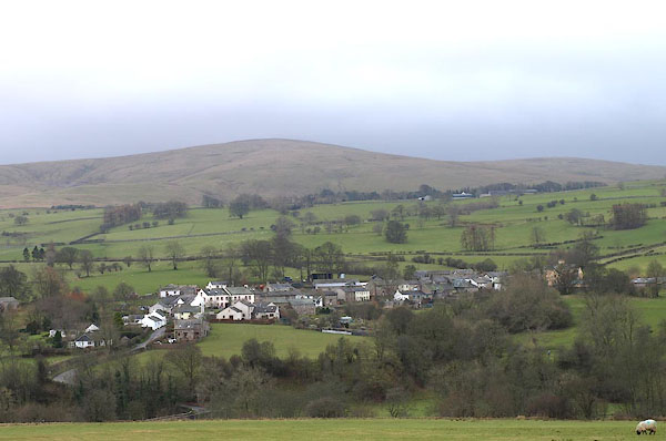
BOS73.jpg (taken 1.3.2008)
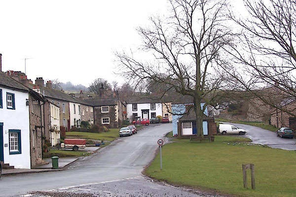
BLR41.jpg (taken 9.3.2006)
placename:- Hesket Newmarket
placename:- Heskett
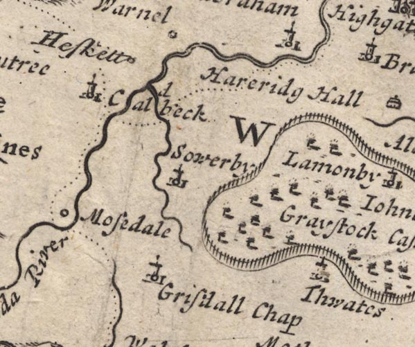
MD12NY33.jpg
"Heskett"
Circle.
item:- JandMN : 90
Image © see bottom of page
placename:- Hesket Newmarket
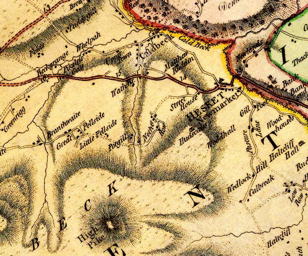
D4NY33NW.jpg
"HESKET Newmarket"
blocks, and usually a church, labelled in upright lowercase; a village and a house
item:- Carlisle Library : Map 2
Image © Carlisle Library
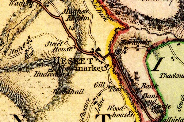
placename:- Hesket Newmarket
DN04HsNw.jpg
"HESKET Newmarket"
blocks, labelled in upright lowercase; a village, street plan with blocks and a house
item:- Carlisle Library : Map 2
Image © Carlisle Library
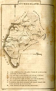
placename:- Hesket
 click to enlarge
BY04.jpg
"Hesket"
group of blocks; town
item:- Armitt Library : A680.2
Image © see bottom of page
placename:- Hesket New Market
 click to enlarge
GRA1Cd.jpg
"Hesket New Market"
blocks, italic lowercase text, village, hamlet, locality
item:- Hampshire Museums : FA2000.62.2
Image © see bottom of page
placename:- Hesket Newmarket
 click to enlarge
GRA1Lk.jpg
"Hesket Newmarket"
blocks, upright lowercase text; town
item:- Hampshire Museums : FA2000.62.5
Image © see bottom of page
placename:- Hesket Newmarket
 click to enlarge
Lw18.jpg
"Hesket Newmarket 296¾"
market town; distance from London
item:- private collection : 18.18
Image © see bottom of page
placename:- Hesket Newmarket
 goto source
"..."
"HESKET NEWMARKET, a hamlet in the parish of Colbeck, in Allerdale ward, below Derwent, Cumberland, 12 miles from Penrith, and 298 from London. Population included with Colbeck."
"..."
placename:- Hesket Newmarket
 click to enlarge
COP3.jpg
"Hesket Newmarket"
circle with two side bars; town
item:- JandMN : 86
Image © see bottom of page
placename:- Hesket New Market
 click to enlarge
WL13.jpg
"Hesket New Market"
village, hamlet, house, ...
item:- Dove Cottage : 2009.81.10
Image © see bottom of page
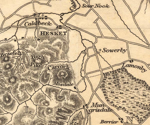
placename:- Hesket
OT02NY33.jpg
"HESKET"
item:- JandMN : 48.1
Image © see bottom of page
placename:- Hesket
 click to enlarge
HA14.jpg
"Hesket / 296"
circle, upright lowercase text; town; distance from London
item:- JandMN : 91
Image © see bottom of page
placename:- Hesket
item:- geology
 goto source
Page 161:- "A superincumbent bed of limestone, by some called the mountain, by others the upper transition limestone, mantles round these mountains, in a position unconformable to the strata of the slaty and other rocks upon which it reposes. It bassets out near ... Caldbeck, Hesket, Berrier, ..."
"..."
 goto source
Page 163:- "... and a thin seam of coal has been found interstratified with the limestone at Hesket Newmarket; ..."
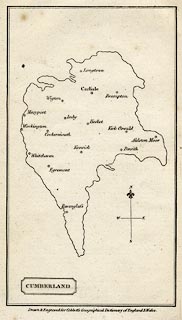
placename:- Hesket
 click to enlarge
COB5.jpg
"Hesket"
dot and circle; town
item:- JandMN : 117
Image © see bottom of page
placename:- Hesket New Market
 goto source
Page 95:- "... A wild brook washes across the road, and with the wooden bridge for foot-passen-"
 goto source
Page 96:- "[foot-passen]gers and the little cascade below, is a pleasing feature at the entrance of the neat little town of Hesket-New-Market, agreeably seated in the open vale. The Old Hall, much modernized, stands on the right as you leave the town for Caldbeck."
"This is a large straggling village; the houses seem to have been dropped down without order or connexion over the wide rambling valley at the foot of High Pike and Carrick. ..."
placename:- Hesket Newmarket
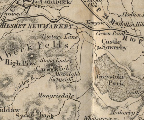
FD02NY33.jpg
"HESKET NEWMARKET"
item:- JandMN : 100.1
Image © see bottom of page
placename:- Hesket Newmarket
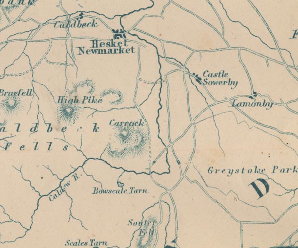
GAR2NY33.jpg
"Hesket Newmarket"
blocks, settlement
item:- JandMN : 82.1
Image © see bottom of page
 goto source
Page 8:- "..."
"Scenting the morning air more pleasantly than the buried majesty of Denmark did, Messrs. Idle and Goodchild rode away from Carlisle at eight o'clock one forenoon, bound for the village of Heske, Newmarket, some fourteen miles distant. Goodchild (who had already begun to doubt whether he was idle: as his way always is when he has nothing to do), had read of a certain black old Cumberland hill or mountain, called Carrock, or Carrock Fell; and had arrived at the conclusion that it would be the culminating triumph of Idleness to ascend the same. Thomas Idle, dwelling on the pains inseparable from that achievement, had expressed the strongest doubts of the expediency, and even of the sanity, of the enterprise; but Goodchild had carried his point, and they rode away."
"Up hill and down hill, and twisting to the right, and twisting to the left, and with old Skiddaw (who has vaunted himself a great deal more than his merits deserve; but that is rather the way of the Lake country), dodging the apprentices in a picturesque and pleasant manner. Good, weather-proof, warm pleasant houses, well white-limed, scantily dotting the road. Clean children coming out to look, carrying other clean children as big as themselves. Harvest still lying out and much rained upon; here and there, harvest still unreaped. Well cultivated gardens attached to the cottages, with plenty of produce forced out of their hard soil. Lonely nooks, and wild; but people can be born, and married, and buried in such nooks, and can live and love, and be loved, there as elsewhere, thank God! (Mr. Goodchild's remark.) By-and-by, the village. Black, coarse-stoned, rough-windowed houses; some with outer staircases,"
 goto source
Page 9:- "like Swiss houses; a sinuous and stony gutter winding up hill and round the corner, by way of street. All the children running out directly. Women pausing in washing, to peep from doorways and very little windows. Such were the observations of Messrs. Idle and Goodchild, as their conveyance stopped at the village shoemaker's. Old Carrock gloomed down upon it all in a very ill-tempered state; and rain was beginning."
"The village shoemaker declined to have anything to do with Carrock. No visitors went up Carrock. No visitors came there at all. Aa' the world ganged awa' yon. The driver appealed to the Innkeeper. The Innkeeper, had two men working in the fields, and one of them should be called in, to go up Carrock as guide. Messrs. Idle and Goodchild, highly approving, entered the Innkeeper's house, to drink whiskey and eat oatcake."
"..."
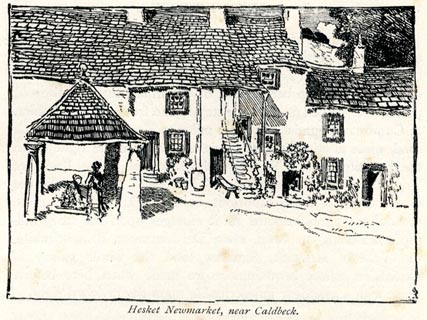
placename:- Hesket Newmarket
 click to enlarge
BRL165.jpg
On page 248 of Highways and Byways in the Lake District, by A G Bradley.
printed at bottom:- "Hesket Newmarket, near Caldbeck."
item:- JandMN : 464.65
Image © see bottom of page
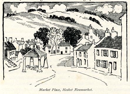
placename:- Hesket Newmarket
 click to enlarge
BRL166.jpg
On page 253 of Highways and Byways in the Lake District, by A G Bradley.
printed at bottom:- "Market Place, Hesket Newmarket."
item:- JandMN : 464.66
Image © see bottom of page
placename:- Hesket New Market
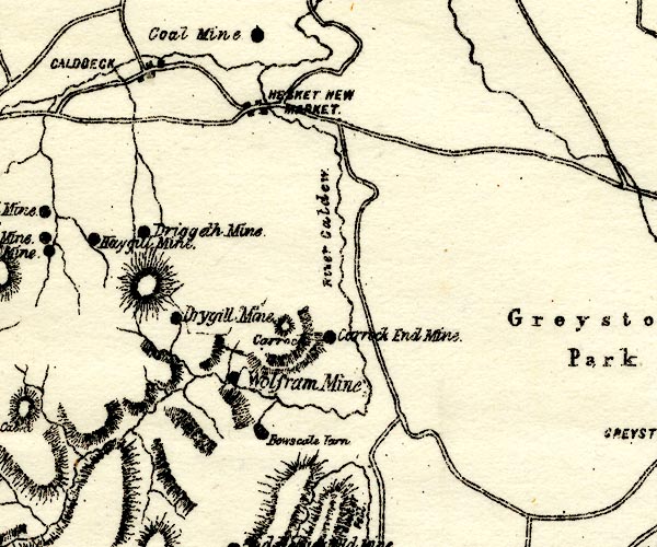
PST2NY33.jpg
"HESKET NEW MARKET"
dots, roads
item:- JandMN : 162.2
Image © see bottom of page
placename:- Hesket Newmarket
 click to enlarge
POF7Cm.jpg
"Hesket Newmarket"
map date 1909
placename:- Hesket Newmarket
 click to enlarge
PF10Cm.jpg
"Hesket Newmarket"
map date 1892
placename:- Hasket Newmarket
 click to enlarge
POF2Cm.jpg
"Hasket Newmarket"
map date 1890
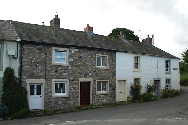 |
NY33973859 Beech Cottages (Caldbeck) L |
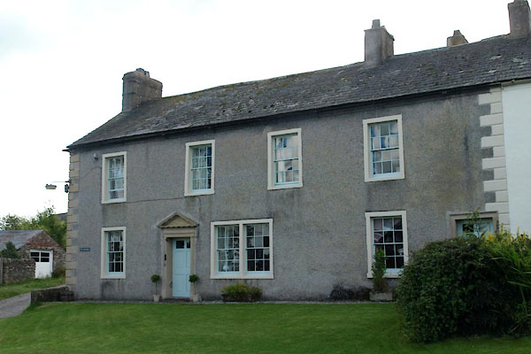 |
NY34053860 Beeches, The (Caldbeck) L |
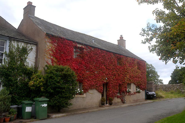 |
NY33953862 Berkeley Cottage (Caldbeck) L |
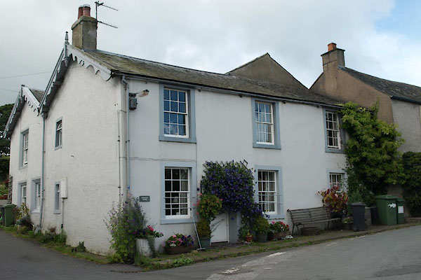 |
NY33963861 Berkeley House (Caldbeck) L |
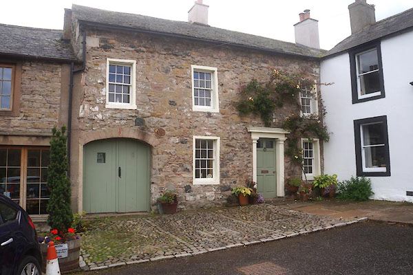 |
NY34003860 Canny House (Caldbeck) L |
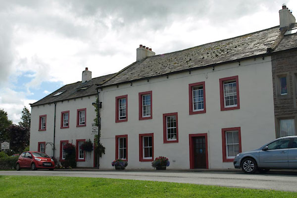 |
NY34153862 Denton House (Caldbeck) L |
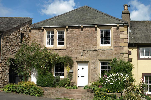 |
NY34033865 Dickens House (Caldbeck) L |
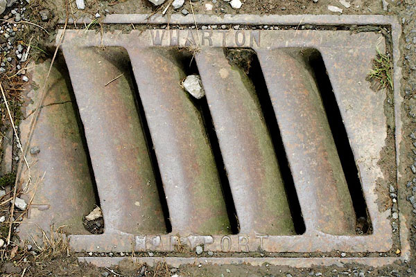 |
NY34113863 drain, Hesket Newmarket (Caldbeck) |
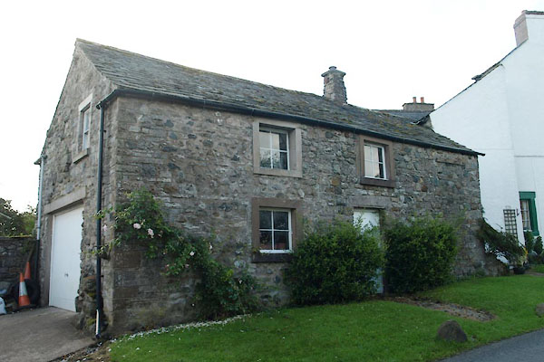 |
NY34203866 Elm Lodge (Caldbeck) |
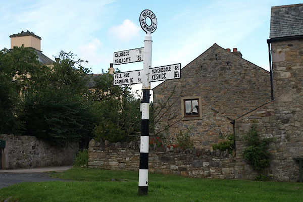 |
NY34023862 fingerpost, Hesket Newmarket (Caldbeck) |
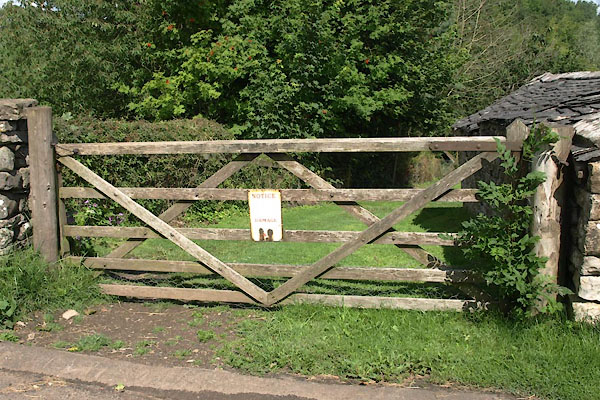 |
NY34113865 gate, Hesket Newmarket (Caldbeck) |
 |
NY34053865 Green, The (Caldbeck) L |
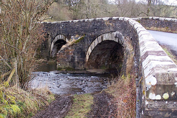 |
NY34313886 Hesket Bridge (Caldbeck / Castle Sowerby) L |
 |
NY33973864 Hesket Hall (Caldbeck) L |
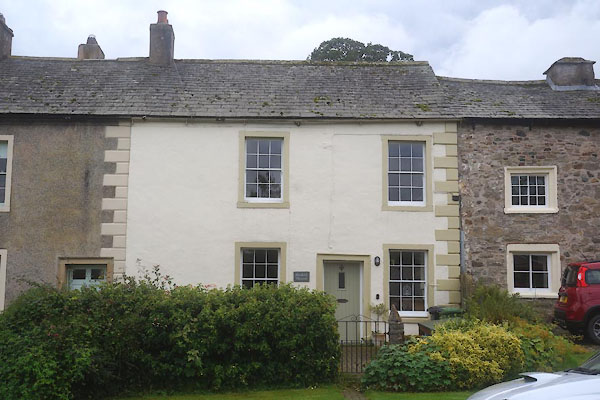 |
NY34043860 Hesket House (Caldbeck) L |
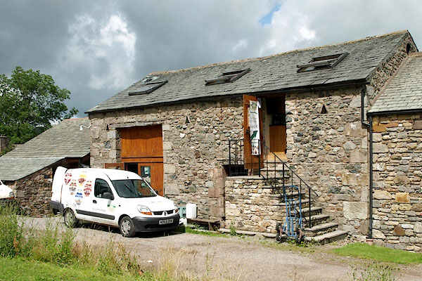 |
NY34143860 Hesket Newmarket Brewery (Caldbeck) |
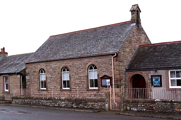 |
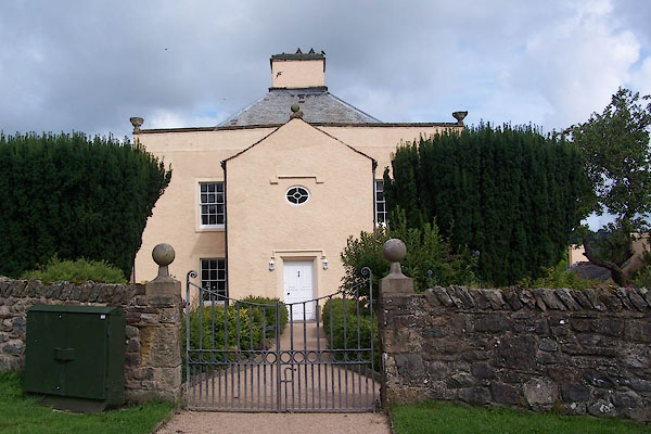
NY34163866 Hesket Newmarket Free Church (Caldbeck) |
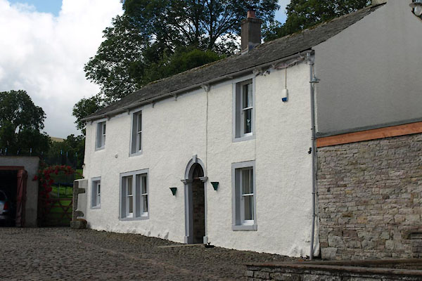 |
NY34133855 High Trees (Caldbeck) |
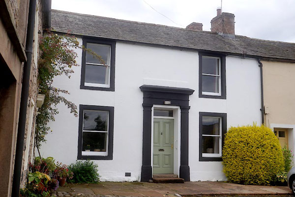 |
NY34003861 Kings Arms House (Caldbeck) L |
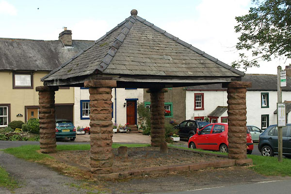 |
NY34053862 market cross, Hesket Newmarket (Caldbeck) L |
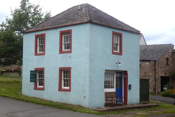 |
NY34043862 moot hall, Hesket Newmarket (Caldbeck) L |
 |
NY34123862 Oak View Cottage (Caldbeck) |
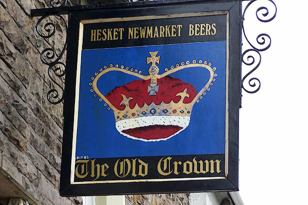 |
NY34143862 Old Crown (Caldbeck) |
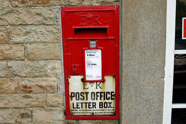 |
NY34013860 post box, Hesket Newmarket (Caldbeck) |
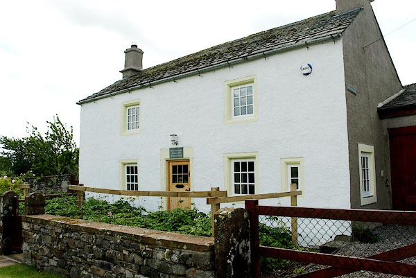 |
NY34153855 Rose Cottage (Caldbeck) L |
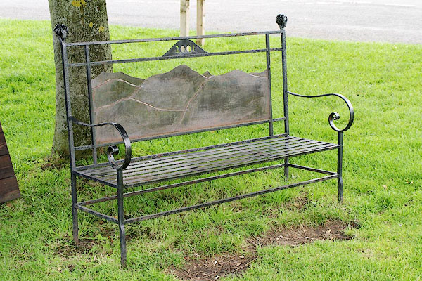 |
NY34113864 seat, Hesket Newmarket (Caldbeck) |
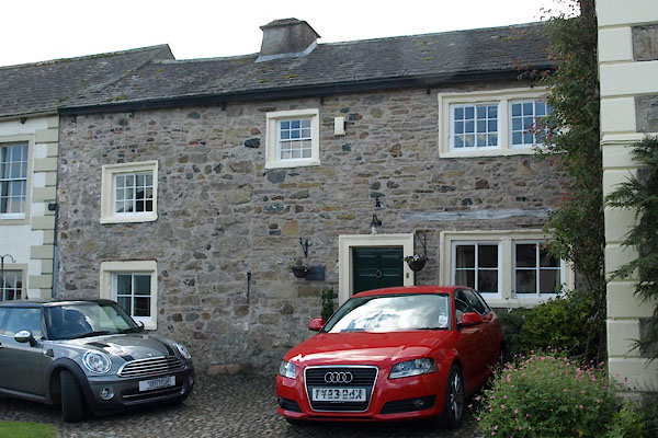 |
NY34033859 Sun House (Caldbeck) L |
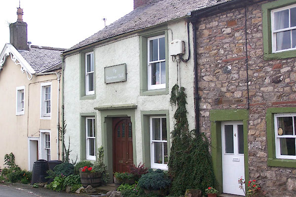 |
NY33983860 Temperance Hall, The (Caldbeck) L |
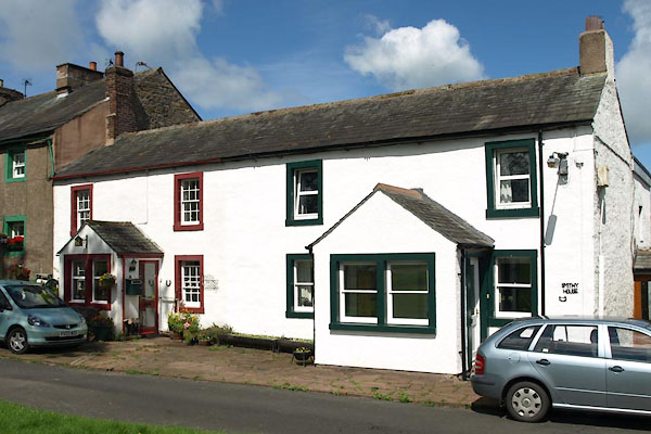 |
NY34073865 Smithy Cottage (Caldbeck) L |
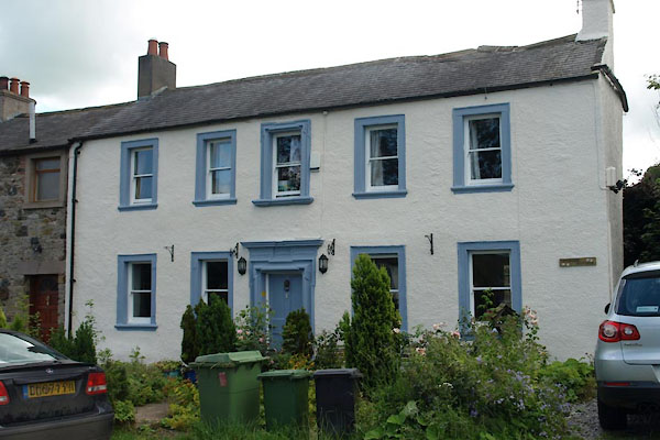 |
NY34073860 Greenside (Caldbeck) L |
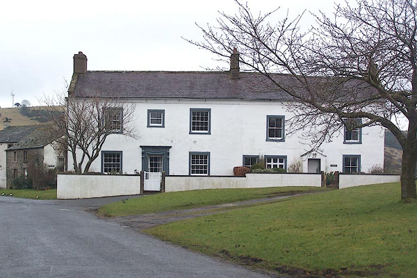 |
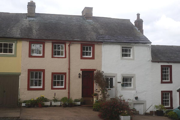
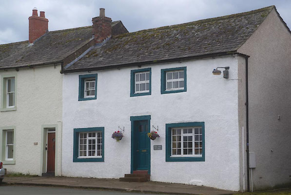
NY34193865 house, Hesket Newmarket (Caldbeck) L |
