Old Cumbria Gazetteer
 |
 |
|
||
| Greystoke | ||||
| Greystick | ||||
| civil parish:- | Greystoke (formerly Cumberland) | |||
| county:- | Cumbria | |||
| locality type:- | locality | |||
| locality type:- | buildings | |||
| coordinates:- | NY44023085 (etc) | |||
| 1Km square:- | NY4430 | |||
| 10Km square:- | NY43 | |||
|
|
||||
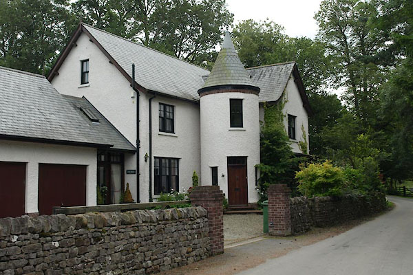
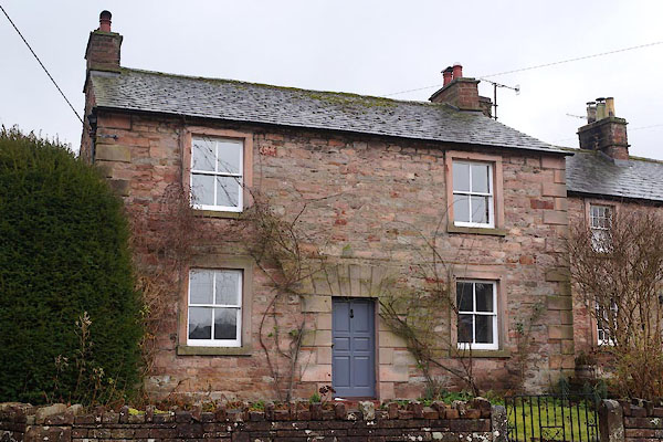
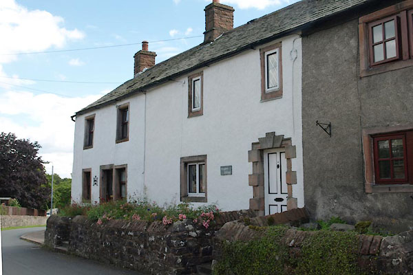
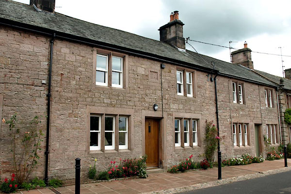
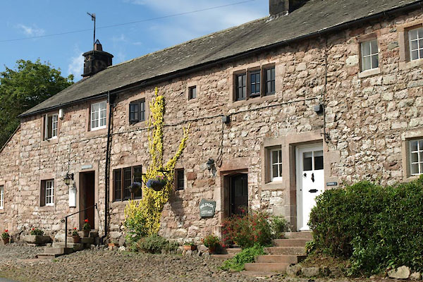
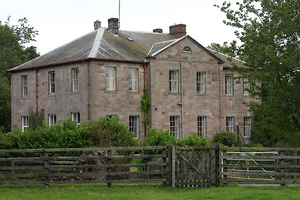
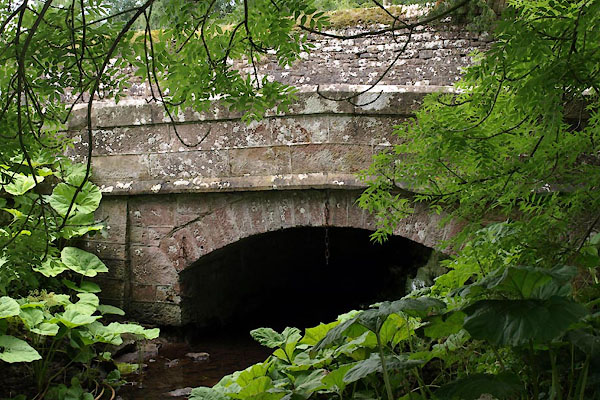
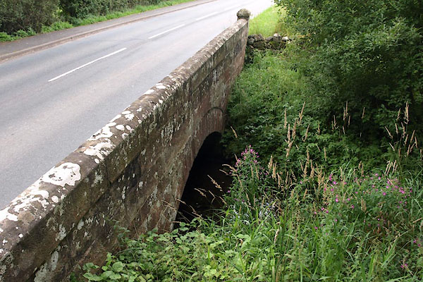
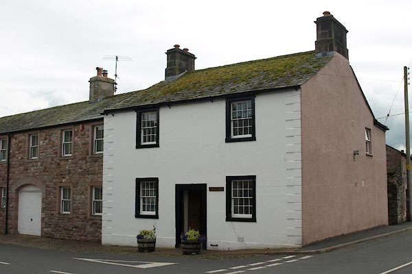
 BVG84.jpg (taken 19.8.2011) |
||||
|
|
||||
| evidence:- | old map:- OS County Series (Cmd 58 1) placename:- Greystoke |
|||
| source data:- | Maps, County Series maps of Great Britain, scales 6 and 25
inches to 1 mile, published by the Ordnance Survey, Southampton,
Hampshire, from about 1863 to 1948. |
|||
|
|
||||
| evidence:- | old map:- Gough 1350s-60s placename:- Greystok |
|||
| source data:- | Map, colour photozincograph copy, reduced size facsimile, Gough
Map of Britain, scale about 28.5 miles to 1 inch, published by
the Ordnance Survey, Southampton, Hampshire, 1875. click to enlarge click to enlargeGgh1Cm.jpg item:- JandMN : 33 Image © see bottom of page |
|||
|
|
||||
| evidence:- | old map:- Gough 1350s-60s placename:- Greystok |
|||
| source data:- | Map, lithograph facsimile, Gough Map of Britain, 20 miles to 1
inch? published by the Ordnance Survey, Southampton, Hampshire,
1935. click to enlarge click to enlargeGgh2Cm.jpg item:- JandMN : 34 Image © see bottom of page |
|||
|
|
||||
| evidence:- | old map:- Lloyd 1573 placename:- Graistoke |
|||
| source data:- | Map, hand coloured copper plate engraving, Angliae Regni,
Kingdom of England, with Wales, scale about 24 miles to 1 inch, authored by Humphrey
Lloyd, Denbigh, Clwyd, drawn and engraved
by Abraham Ortelius, Netherlands, 1573. click to enlarge click to enlargeLld1Cm.jpg "Graistoke" item:- Hampshire Museums : FA1998.69 Image © see bottom of page |
|||
|
|
||||
| evidence:- | possibly old map:- Keer 1605 placename:- Graston |
|||
| source data:- | Map, hand coloured engraving, Westmorland and Cumberland, scale
about 16 miles to 1 inch, probably by Pieter van den Keere, or
Peter Keer, about 1605 edition perhaps 1676. click to enlarge click to enlargeKER8.jpg "Graston" dot, circle and tower; village item:- Dove Cottage : 2007.38.110 Image © see bottom of page |
|||
|
|
||||
| evidence:- | old map:- Sanson 1679 placename:- Grastock |
|||
| source data:- | Map, hand coloured engraving, Ancien Royaume de Northumberland
aujourdhuy Provinces de Nort, ie the Ancient Kingdom of
Northumberland or the Northern Provinces, scale about 9.5 miles
to 1 inch, by Nicholas Sanson, Paris, France, 1679. click to enlarge click to enlargeSAN2Cm.jpg "Grastock" circle, building and tower, flag; town? item:- Dove Cottage : 2007.38.15 Image © see bottom of page |
|||
|
|
||||
| evidence:- | old map:- Donald 1774 (Cmd) placename:- Graystock |
|||
| source data:- | Map, hand coloured engraving, 3x2 sheets, The County of Cumberland, scale about 1
inch to 1 mile, by Thomas Donald, engraved and published by Joseph Hodskinson, 29
Arundel Street, Strand, London, 1774.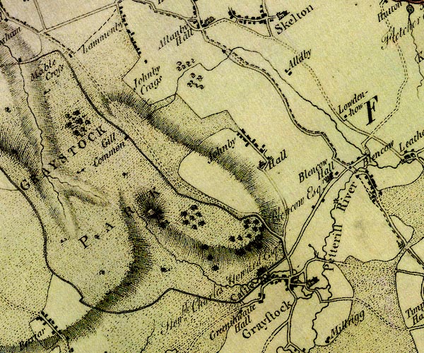 D4NY43SW.jpg "Graystock" blocks, and usually a church, labelled in upright lowercase; a village item:- Carlisle Library : Map 2 Image © Carlisle Library |
|||
|
|
||||
| evidence:- | descriptive text:- West 1778 (11th edn 1821) placename:- Greystock |
|||
| source data:- | Guide book, A Guide to the Lakes, by Thomas West, published by
William Pennington, Kendal, Cumbria once Westmorland, and in
London, 1778 to 1821. goto source goto sourceAddendum; Mr Gray's Journal, 1769 Page 202:- "..." "Oct. 2. I set out at ten for Keswick [from Penrith], by the road we went in 1767; say (sic) Greystock town and castle to the right, which lie about three miles from Ulls-water over the fells; ..." |
|||
|
|
||||
| evidence:- | old text:- Clarke 1787 placename:- Greystock |
|||
| source data:- | Guide book, A Survey of the Lakes of Cumberland, Westmorland,
and Lancashire, written and published by James Clarke, Penrith,
Cumberland, and in London etc, 1787; published 1787-93. goto source Page 55:- "It is worth while here to mention some singular customs in use at funerals in these environs. Notwithstanding some tenements in this dale are seven miles distant from Greystock, they are all obliged to bury their dead there: all the relations of the deceased who reside within twenty miles, and all the neighbours, attend the funeral. A dinner is provided for them, and after dinner two pennyworth of wheaten bread, and a piece of cheese (by way of viaticum I suppose) is given to each person: the corpse is then laid upon a bier, and carried upon the shoulders of those who attend by turns, (a piece of duty from which even the women are not exempted) till they arrive at a large stone at Greystock town-head: Here they set the coffin down, and from hence it is carried to the church, (which is distant near a mile) by six persons, upon napkins: during this last part of the procession, the parish-clerk and people sing a psalm before the body, and walk, (be the weather as bad as it will) with their hats off. After the corpse is interred the company retire to the ale-house, here they are again refreshed with bread and cheese, and ale." "This method is invariably followed, whatever be the quality of the deceased; an instance of which I saw about three years ago, when a person of considerable property was thus carried from Lowside, (see plate V.) during a very deep snow: scarce any one present had a horse; and though the deceased was much respected, and left no children, (whose property might have been diminished by an expensive funeral,) he would not be prevailed upon to permit an hearse to be used, or omit any part of the old ceremonial, and this he expressly commanded before his death." |
|||
|
|
||||
| evidence:- | old map:- Cooke 1802 placename:- Graystock |
|||
| source data:- | Map, The Lakes, Westmorland and Cumberland, scale about 8.5
miles to 1 inch, engravedby Neele and Son, published by
Sherwood, Jones and Co, Paternoster Road, London, 1824. click to enlarge click to enlargeGRA1Lk.jpg "Graystock" blocks, italic lowercase text, village, hamlet, locality item:- Hampshire Museums : FA2000.62.5 Image © see bottom of page |
|||
|
|
||||
| evidence:- | old map:- Cooper 1808 placename:- Greystock |
|||
| source data:- | Map, uncoloured engraving, Cumberland, scale about 10.5 miles to
1 inch, drawn and engraved by Cooper, published by R Phillips,
Bridge Street, Blackfriars, London, 1808. click to enlarge click to enlargeCOP3.jpg "Greystock" circle; village or hamlet item:- JandMN : 86 Image © see bottom of page |
|||
|
|
||||
| evidence:- | old map:- Otley 1818 placename:- Greystoke |
|||
| source data:- | Map, uncoloured engraving, The District of the Lakes,
Cumberland, Westmorland, and Lancashire, scale about 4 miles to
1 inch, by Jonathan Otley, 1818, engraved by J and G Menzies,
Edinburgh, Scotland, published by Jonathan Otley, Keswick,
Cumberland, et al, 1833.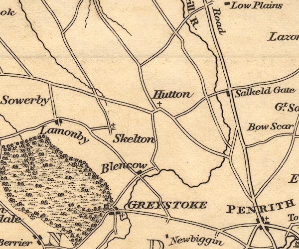 OT02NY43.jpg "GREYSTOKE" item:- JandMN : 48.1 Image © see bottom of page |
|||
|
|
||||
| evidence:- | old text:- Gents Mag placename:- Greystock |
|||
| source data:- | Magazine, The Gentleman's Magazine or Monthly Intelligencer or
Historical Chronicle, published by Edward Cave under the
pseudonym Sylvanus Urban, and by other publishers, London,
monthly from 1731 to 1922. goto source Gentleman's Magazine 1819 part 1 p.507 From the Compendium of County History:- "Law, John, Bp. of Elphin, friend of Paley, Greystock, (died 1810.)" |
|||
|
|
||||
| evidence:- | old text:- Gents Mag 1819 |
|||
| source data:- | goto source Gentleman's Magazine 1816 part 2 p.601 Biographical note from the Compendium of County History:- "Foster, Elizabeth, martyr, Greystock (burnt in Smithfield 1556)." "..." "Hudleston, John, catholic priest, preserver of Charles II. Greystock, 1608." |
|||
|
|
||||
| evidence:- | descriptive text:- Otley 1823 (5th edn 1834) item:- geology |
|||
| source data:- | Guide book, A Concise Description of the English Lakes, the
mountains in their vicinity, and the roads by which they may be
visited, with remarks on the mineralogy and geology of the
district, by Jonathan Otley, published by the author, Keswick,
Cumberland now Cumbria, by J Richardson, London, and by Arthur
Foster, Kirkby Lonsdale, Cumbria, 1823; published 1823-49,
latterly as the Descriptive Guide to the English Lakes. goto source Page 161:- "... the old red sandstone formation; ... whether it passes under or only abuts against the adjacent limestone, I have not yet myself had an opportunity of observing; but have been told that their junction may be seen near Shap Abbey; and in a quarry near Greystoke." |
|||
|
|
||||
| evidence:- | old map:- Ford 1839 map placename:- Greystoke |
|||
| source data:- | Map, uncoloured engraving, Map of the Lake District of
Cumberland, Westmoreland and Lancashire, scale about 3.5 miles
to 1 inch, published by Charles Thurnam, Carlisle, and by R
Groombridge, 5 Paternoster Row, London, 3rd edn 1843.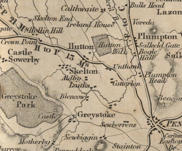 FD02NY43.jpg "Greystoke" item:- JandMN : 100.1 Image © see bottom of page |
|||
|
|
||||
| evidence:- | old map:- Garnett 1850s-60s H placename:- Greystoke |
|||
| source data:- | Map of the English Lakes, in Cumberland, Westmorland and
Lancashire, scale about 3.5 miles to 1 inch, published by John
Garnett, Windermere, Westmorland, 1850s-60s.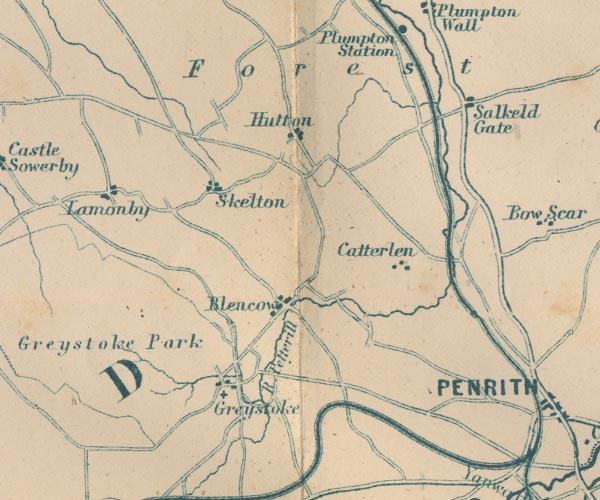 GAR2NY43.jpg "Greystoke" blocks, settlement, cross, a church item:- JandMN : 82.1 Image © see bottom of page |
|||
|
|
||||
| evidence:- | old map:- Postlethwaite 1877 (3rd edn 1913) placename:- Greystoke |
|||
| source data:- | Map, uncoloured engraving, Map of the Lake District Mining Field, Westmorland, Cumberland,
Lancashire, scale about 5 miles to 1 inch, by John Postlethwaite, published by W H
Moss and Sons, 13 Lowther Street, Whitehaven, Cumberland, 1877 edn 1913. PST2NY43.jpg "GREYSTOKE" dots, roads item:- JandMN : 162.2 Image © see bottom of page |
|||
|
|
||||
| evidence:- | market notes:- item:- market |
|||
| source data:- | www.history.ac.uk/cmh/gaz/gazweb2.htm | |||
|
|
||||
 Post Office maps Post Office maps |
||||
|
|
||||
| places:- |
|
|||
|
||||
|
||||
|
||||
|
||||
|
||||
|
||||
|
||||
|
||||
|
||||
|
||||
|
||||
|
||||
|
||||
|
||||
|
||||
|
||||
|
||||
|
||||
|
||||
|
||||
|
||||
|
||||
|
||||
|
||||
|
||||
|
||||
|
||||
|
||||
|
||||
|
||||
|
||||
|
||||
|
||||
|
||||
|
||||
|
||||
|
||||
|
||||
|
||||
|
||||
Lakes Guides menu.