 Old Cumbria Gazetteer
 |
 |
|
| Glencoyne Bridge, Matterdale | ||
| Glencoyne Bridge | ||
| site name:- | Glencoyne Beck | |
| locality:- | Glencoyne | |
| civil parish:- | Matterdale (formerly Cumberland) | |
| county:- | Cumbria | |
| locality type:- | bridge | |
| coordinates:- | NY38721879 | |
| 1Km square:- | NY3818 | |
| 10Km square:- | NY31 | |
| old boundary | ||
| locality:- | Westmorland boundary | |
| locality:- | Cumberland boundary | |
|
|
||
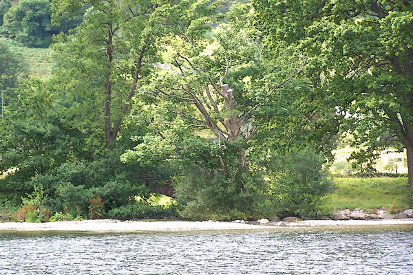
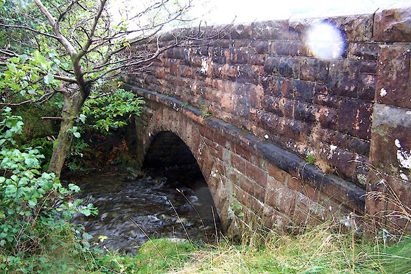 BJW77.jpg (taken 30.9.2005) 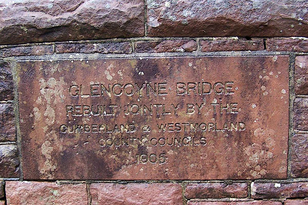 BJW78.jpg Plaque:- "GLENCOYNE BRIDGE REBUILT JOINTLY BY THE CUMBERLAND &WESTMORLAND COUNTY COUNCILS 1905" (taken 30.9.2005) |
||
|
|
||
| evidence:- | old map:- Morden 1695 (Wmd) |
|
| source data:- | Map, hand coloured engraving, Westmorland, scale about 2.5 miles to 1 inch, by Robert
Morden, published by Abel Swale, the Unicorn, St Paul's Churchyard, Awnsham, and John
Churchill, the Black Swan, Paternoster Row, London, 1695.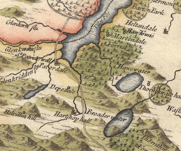 MD10NY41.jpg Double line over a stream, over the Glenkwoin flu, on the county boundary; plotted again over the imagined Glenkern Flu. item:- JandMN : 24 Image © see bottom of page |
|
|
|
||
| evidence:- | probably descriptive text:- West 1778 (11th edn 1821) placename:- Newbridge |
|
| source data:- | Guide book, A Guide to the Lakes, by Thomas West, published by
William Pennington, Kendal, Cumbria once Westmorland, and in
London, 1778 to 1821. goto source goto sourcePage 156:- "[W shore of Ullswater, pass] Newbridge, and the road winds up a steep rock, having the lake underneath you on the left. From the top, you have a view under the trees, both up and down the lake. ... The rock you stand on hangs over the lake [Stybarrow Crag], ..." goto sourcePage 157:- "... Glencairn-beck, descending from Helvellyn, joins the lake at the bridge which unites the counties of Westmorland and Cumberland. ..." |
|
|
|
||
| evidence:- | old map:- Crosthwaite 1783-94 (Ull) |
|
| source data:- | Map, uncoloured engraving, Accurate Map of the Beautiful Lake of
Ullswater, scale about 3 inches to 1 mile, by Peter Crosthwaite,
Keswick, Cumberland, 1783, version published 1800. CT5NY31Z.jpg item:- Armitt Library : 1959.191.7 Image © see bottom of page |
|
|
|
||
| evidence:- | old map:- Clarke 1787 map (Ullswater) |
|
| source data:- | Map, A Map of the Lake Ullswater and its Environs, scale about
6.5 ins to 1 mile, by James Clarke, engraved by S J Neele, 352
Strand, published by James Clarke, Penrith, Cumberland and in
London etc, 1787.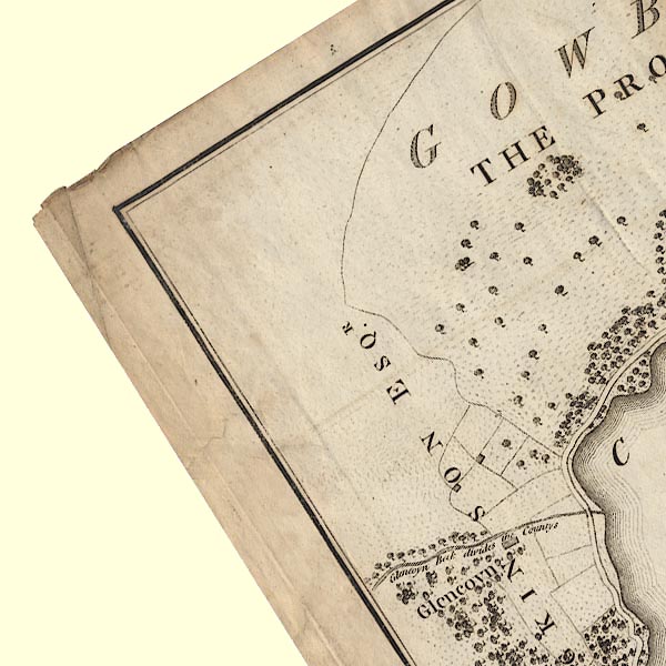 CL4NY31U.jpg Drawn by a bridge symbol. item:- private collection : 10.4 Image © see bottom of page |
|
|
|
||
| evidence:- | old map:- Cary 1789 (edn 1805) |
|
| source data:- | Map, uncoloured engraving, Westmoreland, scale about 2.5 miles
to 1 inch, by John Cary, London, 1789; edition 1805.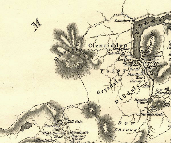 CY24NY31.jpg road across a stream; bridge over Glencoyne Beck item:- JandMN : 129 Image © see bottom of page |
|
|
|
||
| evidence:- | old map:- Bell 1892 placename:- Glencoin Bridge |
|
| source data:- | Map, colour lithograph, Road Map of Cumberland, by George Joseph
Bell, scale about 2.5 miles to 1 inch, printed by Charles
Thurnam and Sons, Carlisle, Cumberland, 1892. BEL9NY31.jpg "GLENCOIN" bridge symbol; on county boundary Road map of Cumberland showing County Bridges item:- Carlisle Library : Map 38 Image © Carlisle Library |
|
|
|
||
 BOA27.jpg (taken 25.8.2007) |
||
|
|
||
| hearsay:- |
The Glencoyne Beck was the boundary between Westmorland and Cumberland. |
|
|
|
||
Lakes Guides menu.