 |
 |
   |
|
|
| runs into:- |
 Ullswater Ullswater |
|
|
|
|
| locality:- |
Glencoyne |
| civil parish:- |
Patterdale (formerly Westmorland) |
| civil parish:- |
Matterdale (formerly Cumberland) |
| county:- |
Cumbria |
| locality type:- |
river |
| locality type:- |
boundary |
| locality type:- |
county boundary |
| coordinates:- |
NY38751881 |
| 1Km square:- |
NY3818 |
| 10Km square:- |
NY31 |
| old boundary |
| locality:- |
Westmorland boundary |
| locality:- |
Cumberland boundary |
|
|
|
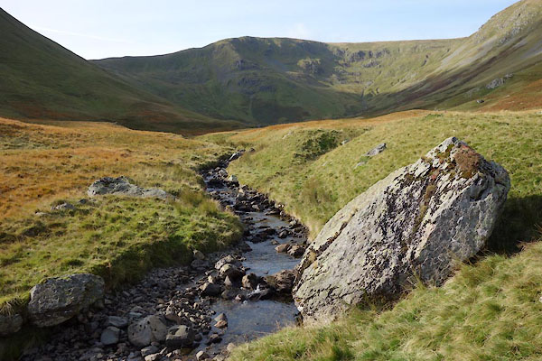
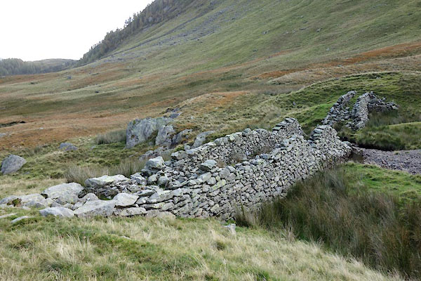
CED82.jpg by a sheepfold,
(taken 20.10.2015)
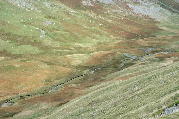
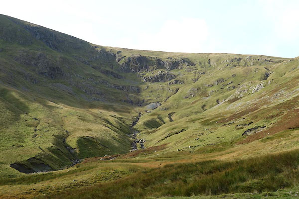
CED92.jpg above the dam,
(taken 20.10.2015)
|
|
|
| evidence:- |
old map:- OS County Series (Wmd 12 6)
placename:- Glencoyne Beck
|
| source data:- |
Maps, County Series maps of Great Britain, scales 6 and 25
inches to 1 mile, published by the Ordnance Survey, Southampton,
Hampshire, from about 1863 to 1948.
|
|
|
| evidence:- |
old map:- Saxton 1579
placename:- Glenkwen Flu.
|
| source data:- |
Map, hand coloured engraving, Westmorlandiae et Cumberlandiae Comitatus ie Westmorland
and Cumberland, scale about 5 miles to 1 inch, by Christopher Saxton, London, engraved
by Augustinus Ryther, 1576, published 1579-1645.
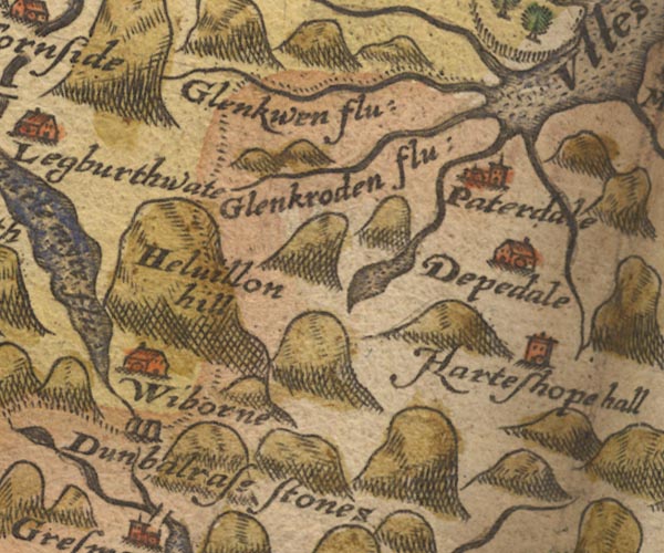
Sax9NY31.jpg
"Glenkwen flu:"
County boundary.
item:- private collection : 2
Image © see bottom of page
|
|
|
| evidence:- |
old map:- Mercator 1595 (edn?)
placename:- Glenkwen fl.
|
| source data:- |
Map, hand coloured engraving, Northumbria, Cumberlandia, et
Dunelmensis Episcopatus, ie Northumberland, Cumberland and
Durham etc, scale about 6.5 miles to 1 inch, by Gerard Mercator,
Duisberg, Germany, about 1595.
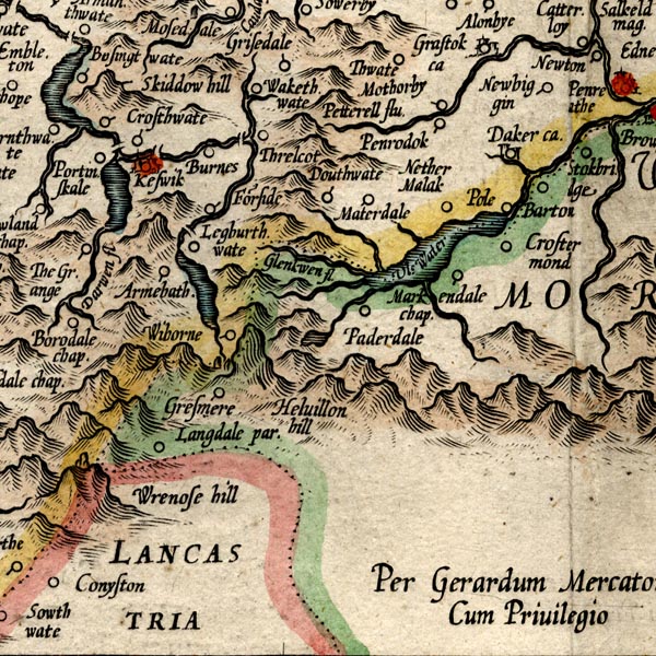
MER8CumF.jpg
"Glenkwen fl."
double line with stream lines; river, running into Ullswater, county boundary with
Westmorland
item:- JandMN : 169
Image © see bottom of page
|
|
|
| evidence:- |
old map:- Mercator 1595 (edn?)
placename:- Glenkwen fl.
|
| source data:- |
Map, hand coloured engraving, Westmorlandia, Lancastria, Cestria
etc, ie Westmorland, Lancashire, Cheshire etc, scale about 10.5
miles to 1 inch, by Gerard Mercator, Duisberg, Germany, 1595,
edition 1613-16.

MER5WmdA.jpg
double line with stream lines; river, running into Ullswater, county boundary with
Cumberland
item:- Armitt Library : 2008.14.3
Image © see bottom of page
|
|
|
| evidence:- |
old map:- Speed 1611 (Cmd)
placename:- Glenkwen flu.
|
| source data:- |
Map, hand coloured engraving, Cumberland and the Ancient Citie
Carlile Described, scale about 4 miles to 1 inch, by John Speed,
1610, published by J Sudbury and George Humble, Popes Head
Alley, London, 1611-12.
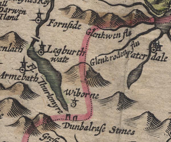
SP11NY31.jpg
"Glenkwen flu"
wiggly line; county boundary
item:- private collection : 16
Image © see bottom of page
|
|
|
| evidence:- |
old map:- Speed 1611 (Wmd)
placename:- Glankowen flud
|
| source data:- |
Map, hand coloured engraving, The Countie Westmorland and
Kendale the Cheif Towne, scale about 2.5 miles to 1 inch, by
John Speed, 1610, published by George Humble, Popes Head Alley,
London, 1611-12.
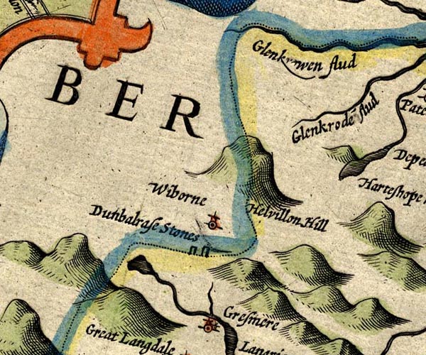
SP14NY31.jpg
"Glank[ ]wen flud"
double line, into Ullswater; county boundary
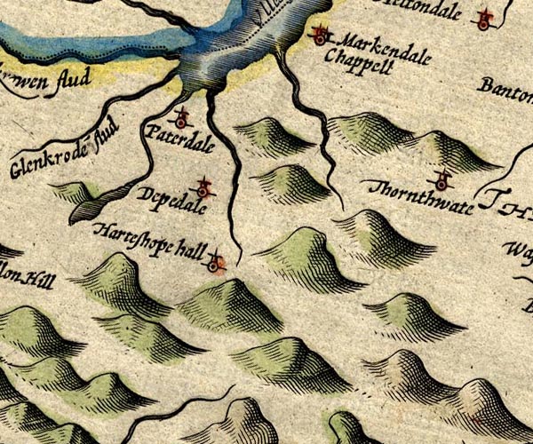
SP14NY41.jpg
double line, into Ullswater
item:- Armitt Library : 2008.14.5
Image © see bottom of page
|
|
|
| evidence:- |
poem:- Drayton 1612/1622 text
placename:- Glenkwin
|
| source data:- |
Poem, Poly Olbion, by Michael Drayton, published by published by
John Marriott, John Grismand and Thomas Dewe, and others?
London, part 1 1612, part 2 1622.
 goto source goto source
page 163:- "...
When Glenkwin greets her [Eden] well, ..."
|
|
|
| evidence:- |
old map:- Drayton 1612/1622
placename:- Glenkuen Flu.
|
| source data:- |
Map, hand coloured engraving, Cumberlande and Westmorlande, by
Michael Drayton, probably engraved by William Hole, scale about
4 or 5 miles to 1 inch, published by John Mariott, John
Grismand, and Thomas Dewe, London, 1622.
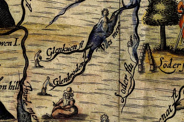
DRY515.jpg
"Glenkuen fl"
River, naiad pouring out water.
item:- JandMN : 168
Image © see bottom of page
|
|
|
| evidence:- |
old map:- Jansson 1646
placename:- Glenkwen Flud
|
| source data:- |
Map, hand coloured engraving, Cumbria and Westmoria, ie
Cumberland and Westmorland, scale about 3.5 miles to 1 inch, by
John Jansson, Amsterdam, Netherlands, 1646.
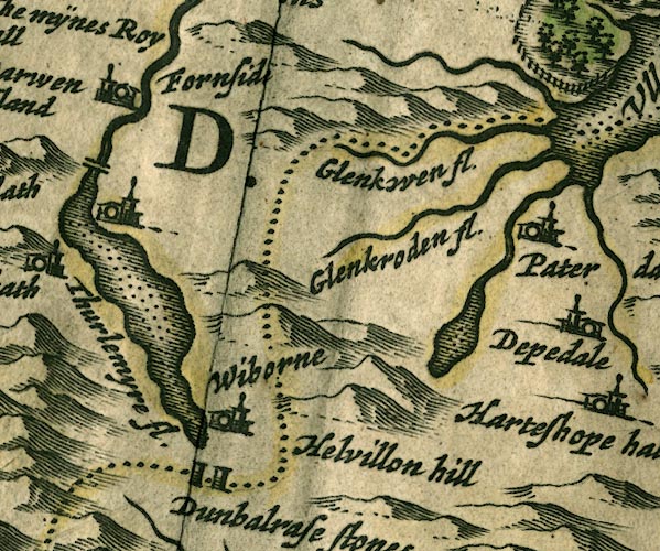
JAN3NY31.jpg
"Glenkwen fl."
Single wiggly line; county boundary.
item:- JandMN : 88
Image © see bottom of page
|
|
|
| evidence:- |
old map:- Sanson 1679
|
| source data:- |
Map, hand coloured engraving, Ancien Royaume de Northumberland
aujourdhuy Provinces de Nort, ie the Ancient Kingdom of
Northumberland or the Northern Provinces, scale about 9.5 miles
to 1 inch, by Nicholas Sanson, Paris, France, 1679.
 click to enlarge click to enlarge
SAN2Cm.jpg
tapering wiggly line; river, county boundary
item:- Dove Cottage : 2007.38.15
Image © see bottom of page
|
|
|
| evidence:- |
old map:- Seller 1694 (Wmd)
|
| source data:- |
Map, hand coloured engraving, Westmorland, scale about 8 miles
to 1 inch, by John Seller, 1694.
 click to enlarge click to enlarge
SEL7.jpg
tapering wiggly line; river; county boundary
item:- Dove Cottage : 2007.38.87
Image © see bottom of page
|
|
|
| evidence:- |
old map:- Morden 1695 (Cmd)
placename:- Glenkwen River
|
| source data:- |
Map, uncoloured engraving, Cumberland, scale about 4 miles to 1
inch, by Robert Morden, 1695, published by Abel Swale, the
Unicorn, St Paul's Churchyard, Awnsham, and John Churchill, the
Black Swan, Paternoster Row, London, 1695-1715.
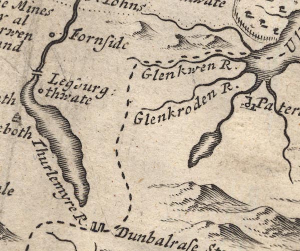
MD12NY31.jpg
"Glenkwen R."
With the county boundary alongside.
item:- JandMN : 90
Image © see bottom of page
|
|
|
| evidence:- |
old map:- Morden 1695 (Wmd)
placename:- Glenkwoin Flu.
placename:- Glenkern Flu
|
| source data:- |
Map, hand coloured engraving, Westmorland, scale about 2.5 miles to 1 inch, by Robert
Morden, published by Abel Swale, the Unicorn, St Paul's Churchyard, Awnsham, and John
Churchill, the Black Swan, Paternoster Row, London, 1695.
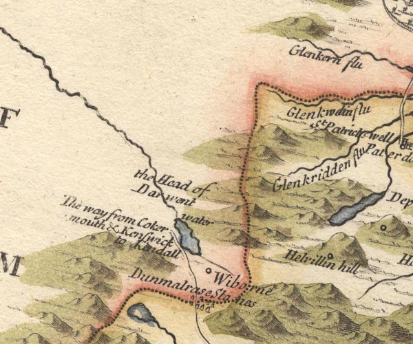
MD10NY31.jpg
"Glenkw[o]in flu"
With county boundary drawn alongside; the same river is plotted again, and called:-. "Glenkern flu"
item:- JandMN : 24
Image © see bottom of page
|
|
|
| evidence:- |
probably old map:- Simpson 1746 map (Wmd)
|
| source data:- |
Map, uncoloured engraving, Westmorland, scale about 8 miles to 1
inch, printed by R Walker, Fleet Lane, London, 1746.
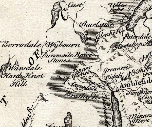
SMP2NYF.jpg
Wiggly line; into Ullswater; not shown as county boundary.
item:- Dove Cottage : 2007.38.59
Image © see bottom of page
|
|
|
| evidence:- |
old map:- Bowen and Kitchin 1760
|
| source data:- |
Map, hand coloured engraving, A New Map of the Counties of
Cumberland and Westmoreland Divided into their Respective Wards,
scale about 4 miles to 1 inch, by Emanuel Bowen and Thomas
Kitchin et al, published by T Bowles, Robert Sayer, and John
Bowles, London, 1760.
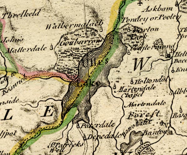
BO18NY31.jpg
wiggly line, into Ullswater
item:- Armitt Library : 2008.14.10
Image © see bottom of page
|
|
|
| evidence:- |
old map:- Jefferys 1770 (Wmd)
|
| source data:- |
Map, 4 sheets, The County of Westmoreland, scale 1 inch to 1
mile, surveyed 1768, and engraved and published by Thomas
Jefferys, London, 1770.
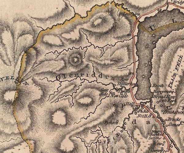
J5NY31NE.jpg
single or double wiggly line; river; county boundary
item:- National Library of Scotland : EME.s.47
Image © National Library of Scotland |
|
|
| evidence:- |
old map:- Donald 1774 (Cmd)
placename:- Glencairn Beck
|
| source data:- |
Map, hand coloured engraving, 3x2 sheets, The County of Cumberland, scale about 1
inch to 1 mile, by Thomas Donald, engraved and published by Joseph Hodskinson, 29
Arundel Street, Strand, London, 1774.
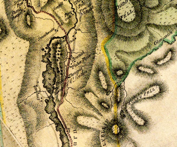
D4NY31NW.jpg
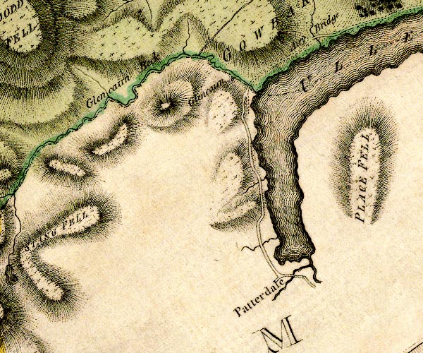
D4NY31NE.jpg
"Glencairn Beck"
single or double wiggly line; a river and county boundary
item:- Carlisle Library : Map 2
Images © Carlisle Library |
|
|
| evidence:- |
descriptive text:- West 1778 (11th edn 1821)
placename:- Glencairn Beck
|
| source data:- |
Guide book, A Guide to the Lakes, by Thomas West, published by
William Pennington, Kendal, Cumbria once Westmorland, and in
London, 1778 to 1821.
 goto source goto source
Page 157:- "... Glencairn-beck, descending from Helvellyn, joins the lake at the bridge which
unites the counties of Westmorland and Cumberland. ..."
|
|
|
| evidence:- |
old map:- Crosthwaite 1783-94 (Ull)
|
| source data:- |
Map, uncoloured engraving, Accurate Map of the Beautiful Lake of
Ullswater, scale about 3 inches to 1 mile, by Peter Crosthwaite,
Keswick, Cumberland, 1783, version published 1800.
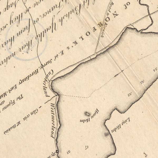
CT5NY31Z.jpg
The county boundary is continued down the lake by a dotted line (which is not a line
of flow).
item:- Armitt Library : 1959.191.7
Image © see bottom of page
|
|
|
| evidence:- |
old map:- West 1784 map
|
| source data:- |
Map, hand coloured engraving, A Map of the Lakes in Cumberland,
Westmorland and Lancashire, scale about 3.5 miles to 1 inch,
engraved by Paas, 53 Holborn, London, about 1784.
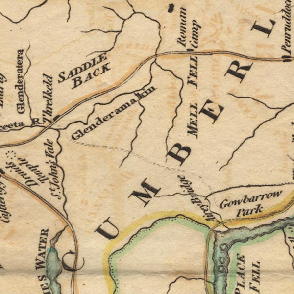
Ws02NY32.jpg
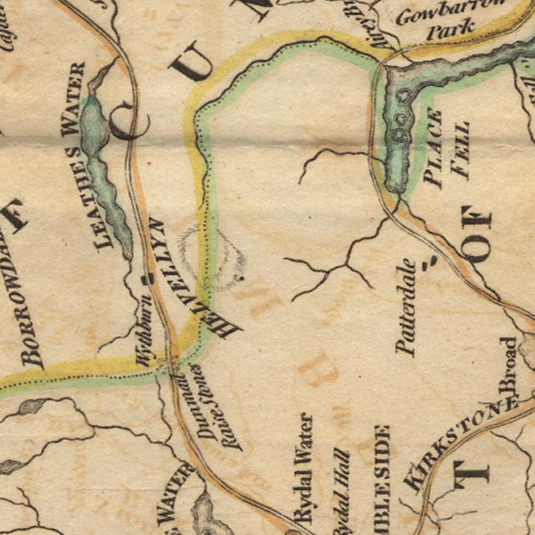
Ws02NY31.jpg
item:- Armitt Library : A1221.1
Image © see bottom of page
|
|
|
| evidence:- |
old text:- Clarke 1787
placename:- Glencoyn Beck
|
| source data:- |
Guide book, A Survey of the Lakes of Cumberland, Westmorland,
and Lancashire, written and published by James Clarke, Penrith,
Cumberland, and in London etc, 1787; published 1787-93.
 goto source goto source
Page 31:- "..."
"Glencoyn Beck, which runs nearly through the middle of the estate, divides Cumberland
from Westmorland, and takes its rise in a valley called Glencoyn-Dale, and not upon
Helveylin, as some modern authors chuse to assert. But when we consider the great
labour attending these researches, we need not wonder at such inaccuracies among such
as write to amuse, and not instruct. This brook is plentifully stocked with fish:
I remember, some years ago, taking 147 trouts with the hook in it."
|
|
|
| evidence:- |
old map:- Clarke 1787 map (Ullswater)
placename:- Glencoyn Beck
|
| source data:- |
Map, A Map of the Lake Ullswater and its Environs, scale about
6.5 ins to 1 mile, by James Clarke, engraved by S J Neele, 352
Strand, published by James Clarke, Penrith, Cumberland and in
London etc, 1787.
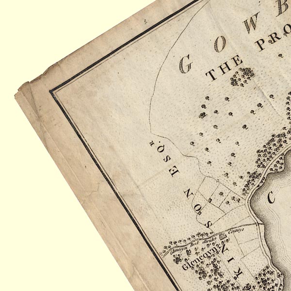
CL4NY31U.jpg
"Glencoyn Beck divides the Countys"
item:- private collection : 10.4
Image © see bottom of page
|
|
|
| evidence:- |
old map:- Cary 1789 (edn 1805)
|
| source data:- |
Map, uncoloured engraving, Westmoreland, scale about 2.5 miles
to 1 inch, by John Cary, London, 1789; edition 1805.
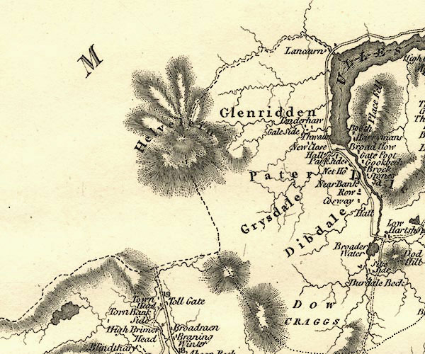
CY24NY31.jpg
river; county boundary
item:- JandMN : 129
Image © see bottom of page
|
|
|
| evidence:- |
descriptive text:- Otley 1823 (5th edn 1834)
|
| source data:- |
Guide book, A Concise Description of the English Lakes, the
mountains in their vicinity, and the roads by which they may be
visited, with remarks on the mineralogy and geology of the
district, by Jonathan Otley, published by the author, Keswick,
Cumberland now Cumbria, by J Richardson, London, and by Arthur
Foster, Kirkby Lonsdale, Cumbria, 1823; published 1823-49,
latterly as the Descriptive Guide to the English Lakes.
 goto source goto source
Page 9:- "... Glencoin is a farm placed in a sweet recess, where a brook divides the counties
of Cumberland and Westmorland. ..."
|
|
|
| evidence:- |
descriptive text:- Ford 1839 (3rd edn 1843)
|
| source data:- |
Guide book, A Description of Scenery in the Lake District, by
Rev William Ford, published by Charles Thurnam, Carlisle, by W
Edwards, 12 Ave Maria Lane, Charles Tilt, Fleet Street, William
Smith, 113 Fleet Street, London, by Currie and Bowman,
Newcastle, by Bancks and Co, Manchester, by Oliver and Boyd,
Edinburgh, and by Sinclair, Dumfries, 1839.
 goto source goto source
Page 147:- "[Glencoin] ... the stream here divides the counties of Cumberland and Westmorland.
..."
|
|
|
| evidence:- |
old map:- Garnett 1850s-60s H
|
| source data:- |
Map of the English Lakes, in Cumberland, Westmorland and
Lancashire, scale about 3.5 miles to 1 inch, published by John
Garnett, Windermere, Westmorland, 1850s-60s.
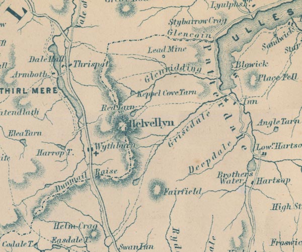
GAR2NY31.jpg
wiggly line, river; and county boundary
item:- JandMN : 82.1
Image © see bottom of page
|
|
|
|
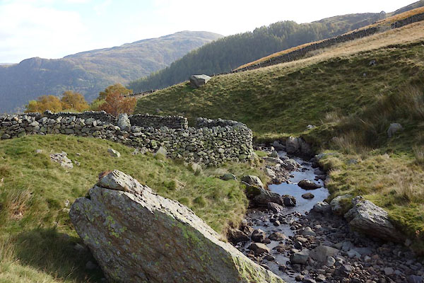
CED81.jpg by a sheepfold,
(taken 20.10.2015)
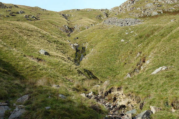
CEE04.jpg Waterfalls,
(taken 20.10.2015)
|
|
|
| places:- |
 |
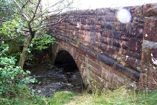
NY38521871 bridge, Glencoyne (Patterdale) |
|
|
 |
NY36951874 dam, Glencoyne (Patterdale / Matterdale) |
|
|
 |
NY36311890 Deepdale Slack (Matterdale / Patterdale) |
|
|
 |
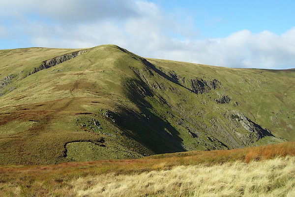
NY38721879 Glencoyne Bridge (Matterdale) |
|
|
 |
NY35861891 Glencoyne Head (Matterdale / Patterdale) |
|
|
 |
NY37341878 Glencoyne (Matterdale / Patterdale) |
|


 Ullswater


 goto source

 click to enlarge
 click to enlarge


 goto source


 goto source

 goto source
 goto source


