 |
 |
   |
|
|
|
Branthwaite |
| civil parish:- |
Dean (formerly Cumberland) |
| county:- |
Cumbria |
| locality type:- |
locality |
| locality type:- |
buildings |
| coordinates:- |
NY05852490 (etc) |
| 1Km square:- |
NY0524 |
| 10Km square:- |
NY02 |
|
|
| evidence:- |
old map:- OS County Series (Cmd 62 1)
placename:- Branthwaite
|
| source data:- |
Maps, County Series maps of Great Britain, scales 6 and 25
inches to 1 mile, published by the Ordnance Survey, Southampton,
Hampshire, from about 1863 to 1948.
|
|
|
| evidence:- |
old map:- Donald 1774 (Cmd)
placename:- Branthwaite
|
| source data:- |
Map, hand coloured engraving, 3x2 sheets, The County of Cumberland, scale about 1
inch to 1 mile, by Thomas Donald, engraved and published by Joseph Hodskinson, 29
Arundel Street, Strand, London, 1774.
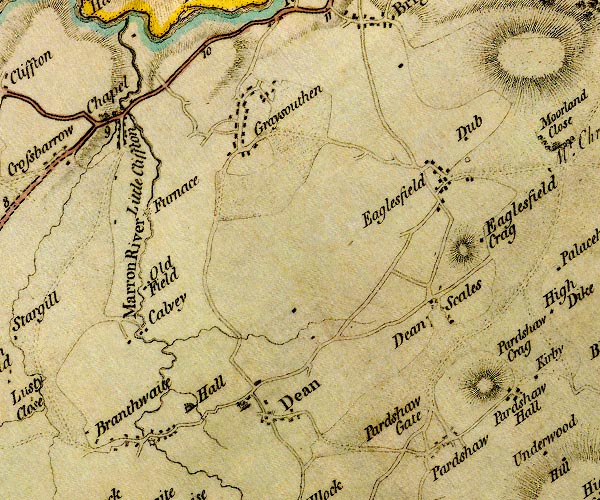
D4NY02NE.jpg
"Branthwaite"
block or blocks, labelled in lowercase; a hamlet or just a house
item:- Carlisle Library : Map 2
Image © Carlisle Library |
|
|
| evidence:- |
old map:- Cooper 1808
placename:- Branthwaite
|
| source data:- |
Map, uncoloured engraving, Cumberland, scale about 10.5 miles to
1 inch, drawn and engraved by Cooper, published by R Phillips,
Bridge Street, Blackfriars, London, 1808.
 click to enlarge click to enlarge
COP3.jpg
"Branthwaite"
circle; village or hamlet
item:- JandMN : 86
Image © see bottom of page
|
|
|
| evidence:- |
old map:- Otley 1818
placename:- Branthwaite
|
| source data:- |
Map, uncoloured engraving, The District of the Lakes,
Cumberland, Westmorland, and Lancashire, scale about 4 miles to
1 inch, by Jonathan Otley, 1818, engraved by J and G Menzies,
Edinburgh, Scotland, published by Jonathan Otley, Keswick,
Cumberland, et al, 1833.
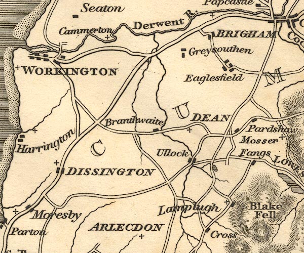
OT02NY02.jpg
item:- JandMN : 48.1
Image © see bottom of page
|
|
|
| evidence:- |
old map:- Ford 1839 map
placename:- Branthwaite
|
| source data:- |
Map, uncoloured engraving, Map of the Lake District of
Cumberland, Westmoreland and Lancashire, scale about 3.5 miles
to 1 inch, published by Charles Thurnam, Carlisle, and by R
Groombridge, 5 Paternoster Row, London, 3rd edn 1843.
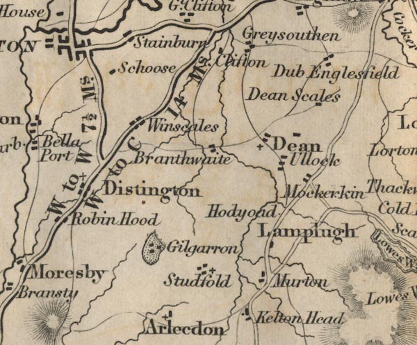
FD02NY02.jpg
"Branthwaite"
item:- JandMN : 100.1
Image © see bottom of page
|
|
|
| evidence:- |
old map:- Garnett 1850s-60s H
placename:- Branthwaite
|
| source data:- |
Map of the English Lakes, in Cumberland, Westmorland and
Lancashire, scale about 3.5 miles to 1 inch, published by John
Garnett, Windermere, Westmorland, 1850s-60s.
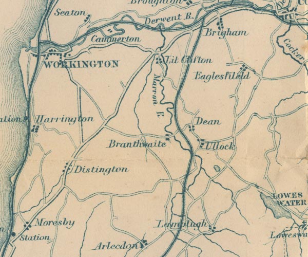
GAR2NY02.jpg
"Branthwaite"
blocks, settlement
item:- JandMN : 82.1
Image © see bottom of page
|
|
|
| places:- |
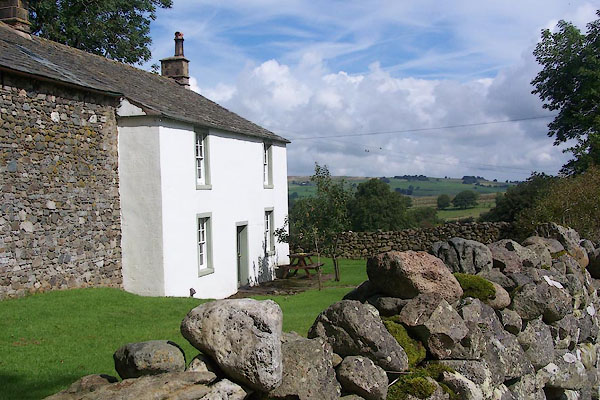 |
NY29623726 Askew Mire (Caldbeck) L |
|
|
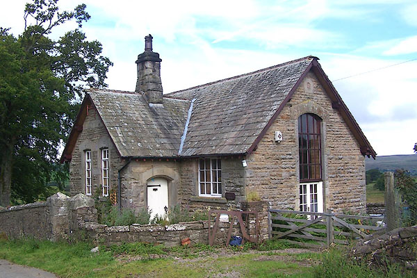 |
NY29963732 Authwaite House (Caldbeck) |
|
|
 |
NY29773731 Billy Yard (Caldbeck) L |
|
|
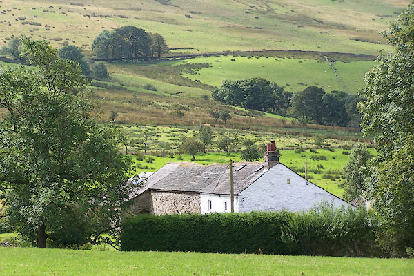 |
NY29443713 Bonners Farm (Caldbeck) |
|
|
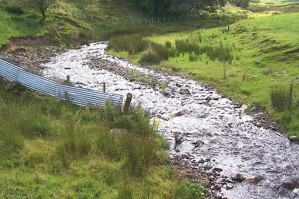 |
NY2937 Branthwaite Beck (Caldbeck) |
|
|
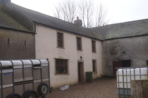 |
NY29743730 Branthwaite Farm (Caldbeck) L |
|
|
 |
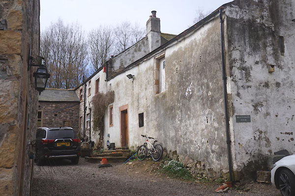
NY06522534 Branthwaite Hall (Dean) L |
|
|
 |
NY29813728 Branthwaite House (Caldbeck) |
|
|
 |
NY05042518 Branthwaite Outgang (Dean) |
|
|
 |
NY04922417 Branthwaite Row Farm (Dean) |
|
|
 |
NY05932514 Branthwaite Station (Dean) gone |
|
|
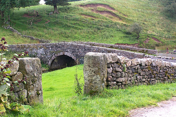 |
NY29863728 Branthwaite Bridge (Caldbeck) |
|
|
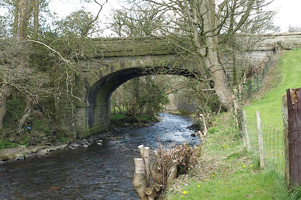 |
NY05952493 Branthwaite Bridge (Dean) |
|
|
 |
NY05922492 Brow Bottom (Dean) |
|
|
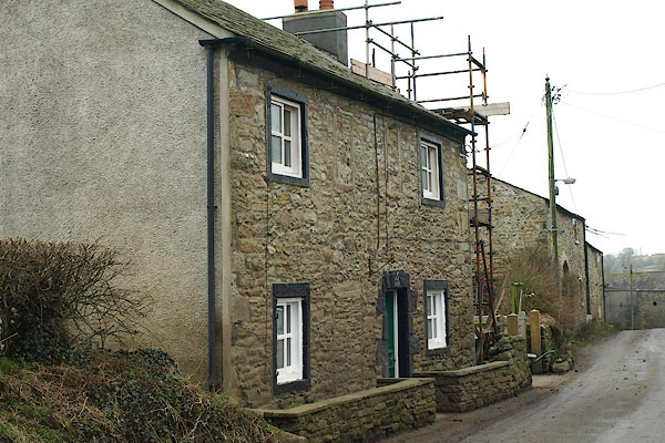 |
NY06162498 Browtop (Dean) L |
|
|
 |
NY05902396 Far Branthwaite Edge (Dean) L |
|
|
 |
NY06202507 Fell View (Dean) |
|
|
 |
NY05602485 High House (Dean) |
|
|
 |
NY05982488 High Mill (Dean) |
|
|
 |
NY06162500 Hill Crest (Dean) L |
|
|
 |
NY05902505 Low Mill (Dean) |
|
|
 |
NY29463698 Matthew Field (Caldbeck) |
|
|
 |
NY05652412 Near Branthwaite Edge (Dean) |
|
|
 |
NY06112550 paper mill, Dean (Dean) |
|
|
 |
NY06122496 Peggy Well (Dean) |
|
|
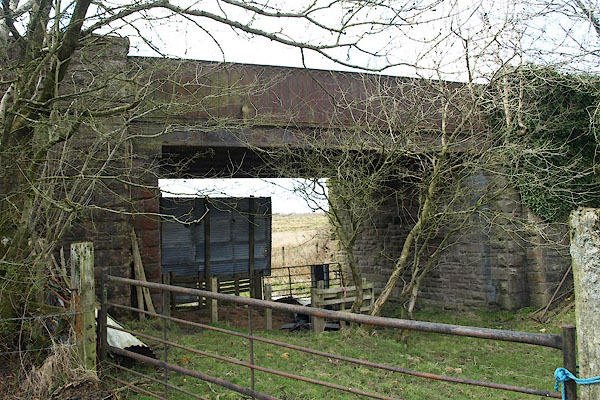 |
NY04802418 railway bridge, Branthwaite (Dean) |
|
|
 |
NY05982495 railway bridge, Branthwaite (2) (Dean) |
|
|
 |
NY05962536 railway bridge, Branthwaite (3) (Dean) |
|
|
 |
NY06142499 Roche House (Dean) L |
|
|
 |
NY05542488 Scenery Hill (Dean) |
|
|
 |
NY05892490 Star Inn (Dean) gone |
|
|
 |
NY05842495 Wadsworth Farm (Dean) L |
|
|
 |
NY06122502 White Gables (Dean) |
|
|
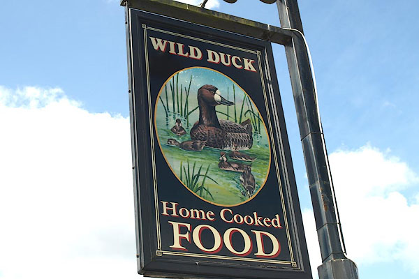 |
NY05692494 Wild Duck (Dean) |
|
|
 |
NY05912474 Branthwaite Nook (Dean) |
|
|
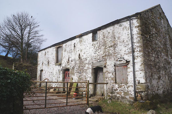 |
NY29783730 house, Branthwaite (Caldbeck) L |
|


 click to enlarge


