 Old Cumbria Gazetteer
 |
 |
|
| Browtop, Branthwaite | ||
| Browtop | ||
| locality:- | Branthwaite | |
| civil parish:- | Dean (formerly Cumberland) | |
| county:- | Cumbria | |
| locality type:- | buildings | |
| coordinates:- | NY06162498 | |
| 1Km square:- | NY0624 | |
| 10Km square:- | NY02 | |
| references:- | Listed Buildings 2010 |
|
|
|
||
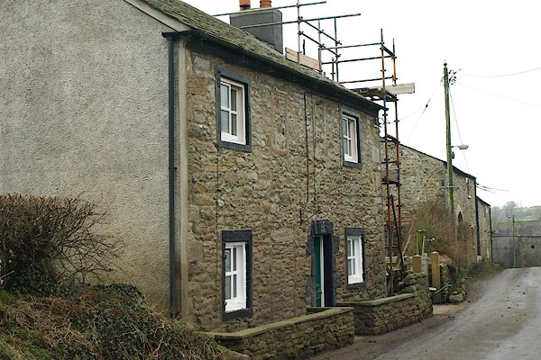 BQD06.jpg (taken 17.2.2009) 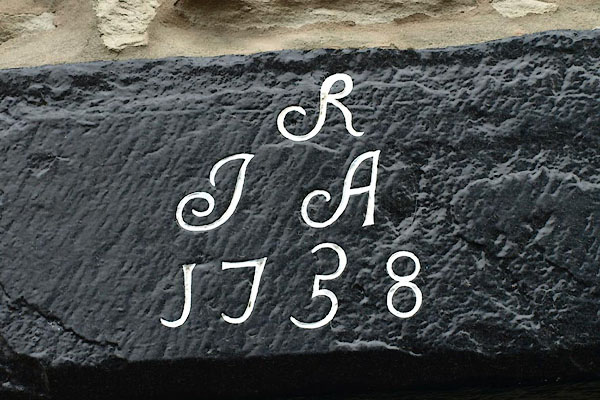 BQD07.jpg Date stone:- "R / J A / 1738" (taken 17.2.2009) |
||
|
|
||
| evidence:- | old map:- OS County Series (Cmd 62 2) placename:- Browtop |
|
| source data:- | Maps, County Series maps of Great Britain, scales 6 and 25
inches to 1 mile, published by the Ordnance Survey, Southampton,
Hampshire, from about 1863 to 1948. |
|
|
|
||
| evidence:- | database:- Listed Buildings 2010 placename:- Brow Top item:- date stone (1758) |
|
| source data:- | courtesy of English Heritage "BROW TOP / / / DEAN / ALLERDALE / CUMBRIA / II / 72619 / NY0616624987" |
|
|
|
||
 Lakes Guides menu.