 |
 |
   |
|
|
|
|
| civil parish:- |
Bampton (formerly Westmorland) |
| county:- |
Cumbria |
| locality type:- |
locality |
| locality type:- |
buildings |
| coordinates:- |
NY51501820 (etc) |
| 1Km square:- |
NY5218 |
| 10Km square:- |
NY51 |
|
|
|
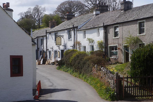
CCY39.jpg (taken 1.5.2015)
|
|
|
| evidence:- |
old map:- OS County Series (Wmd 13 8)
placename:- Bampton
|
| source data:- |
Maps, County Series maps of Great Britain, scales 6 and 25
inches to 1 mile, published by the Ordnance Survey, Southampton,
Hampshire, from about 1863 to 1948.
|
|
|
| evidence:- |
table of distances:- Simons 1635
placename:- Banton
|
| source data:- |
Table of distances, uncoloured engraving, Westmerland ie
Westmorland, with a thumbnail map, scale about 42 miles to 1
inch, by Mathew Simons, published in A Direction for the English
Traviller, 1635.
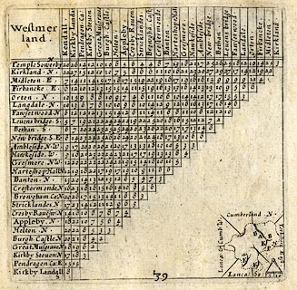 click to enlarge click to enlarge
SIM3.jpg
"Banton N"
and tabulated distances
item:- private collection : 50.39
Image © see bottom of page
|
|
|
| evidence:- |
hearth tax returns:- Hearth Tax 1675
placename:- Bampton
|
| source data:- |
Records, hearth tax survey returns, Westmorland, 1674/75.
"Bampton"
in "Bampton"
|
|
|
| evidence:- |
old map:- Ogilby 1675 (plate 38)
placename:- Bauton
|
| source data:- |
Road strip map, hand coloured engraving, continuation of the
Road from London to Carlisle, scale about 1 inch to 1 mile, by
John Ogilby, London, 1675.
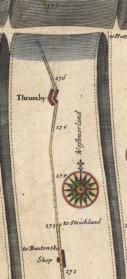
OG38m272.jpg
In mile 272, Westmorland.
Turning left:- "to Bauton 3½"
item:- JandMN : 21
Image © see bottom of page
|
|
|
| evidence:- |
old map:- Jefferys 1770 (Wmd)
placename:- Bampton
|
| source data:- |
Map, 4 sheets, The County of Westmoreland, scale 1 inch to 1
mile, surveyed 1768, and engraved and published by Thomas
Jefferys, London, 1770.
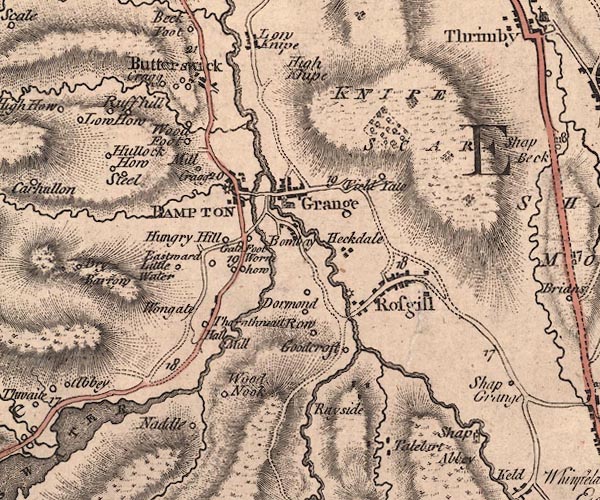
J5NY51NW.jpg
"BAMPTON"
blocks, labelled in block caps; village or parish?
item:- National Library of Scotland : EME.s.47
Image © National Library of Scotland |
|
|
| evidence:- |
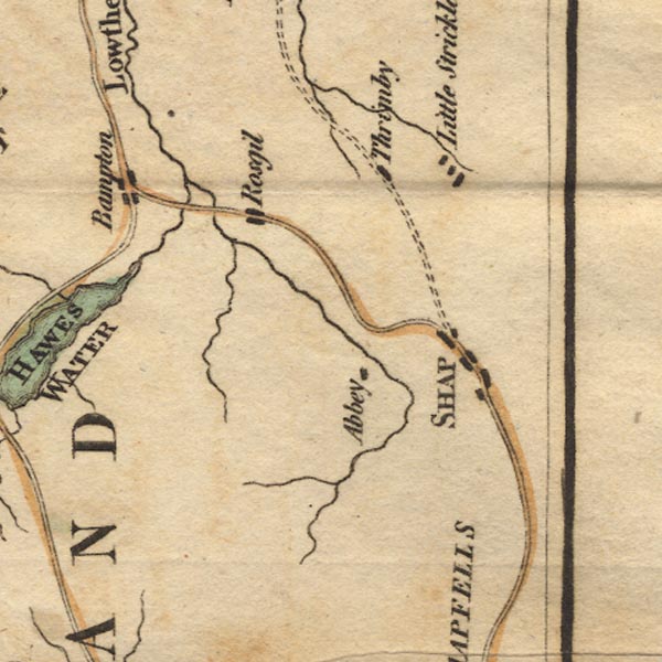
old map:- West 1784 map
placename:- Bampton
|
| source data:- |
Map, hand coloured engraving, A Map of the Lakes in Cumberland,
Westmorland and Lancashire, scale about 3.5 miles to 1 inch,
engraved by Paas, 53 Holborn, London, about 1784.
Ws02NY51.jpg
item:- Armitt Library : A1221.1
Image © see bottom of page
|
|
|
| evidence:- |
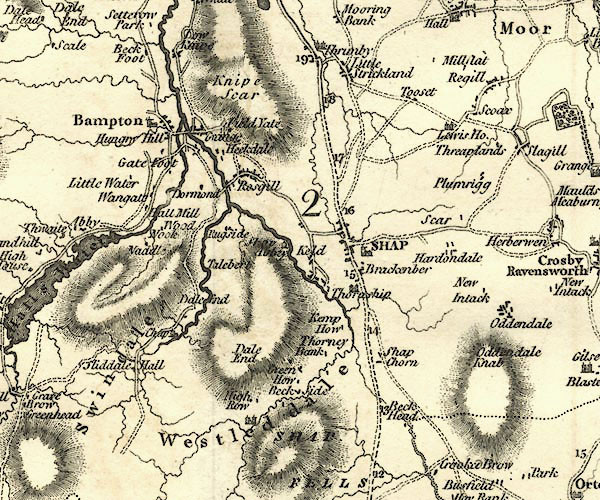
old map:- Cary 1789 (edn 1805)
placename:- Bampton
|
| source data:- |
Map, uncoloured engraving, Westmoreland, scale about 2.5 miles
to 1 inch, by John Cary, London, 1789; edition 1805.
CY24NY51.jpg
"Bampton"
blocks, church symbol, labelled in upright lowercase; village
item:- JandMN : 129
Image © see bottom of page
|
|
|
| evidence:- |
old map:- Cooper 1808
placename:- Bampton
|
| source data:- |
Map, hand coloured engraving, Westmoreland ie Westmorland, scale
about 9 miles to 1 inch, by H Cooper, 1808, published by R
Phillips, Bridge Street, Blackfriars, London, 1808.
 click to enlarge click to enlarge
COP4.jpg
"Bampton"
circle; village or hamlet
item:- Dove Cottage : 2007.38.53
Image © see bottom of page
|
|
|
| evidence:- |
old map:- Hall 1820 (Wmd)
placename:- Bampton
|
| source data:- |
Map, hand coloured engraving, Westmoreland ie Westmorland, scale
about 14.5 miles to 1 inch, by Sidney Hall, London, 1820,
published by Samuel Leigh, 18 Strand, London, 1820-31.
 click to enlarge click to enlarge
HA18.jpg
"Bampton"
circle, italic lowercase text; settlement
item:- Armitt Library : 2008.14.58
Image © see bottom of page
|
|
|
| evidence:- |
old text:- Gents Mag
|
| source data:- |
Magazine, The Gentleman's Magazine or Monthly Intelligencer or
Historical Chronicle, published by Edward Cave under the
pseudonym Sylvanus Urban, and by other publishers, London,
monthly from 1731 to 1922.
 goto source goto source
Gentleman's Magazine 1825 part 1 p.514
From the Compendium of County History:- "Stephenson, Rev. William, benefactor to his native place, Bampton."
"..."
"Sutton, Dr. Thomas, benefactor to his native parish of Bampton, Sutton Gill in that
parish."
|
|
|
| evidence:- |
descriptive text:- Ford 1839 (3rd edn 1843)
placename:- Bampton
|
| source data:- |
Guide book, A Description of Scenery in the Lake District, by
Rev William Ford, published by Charles Thurnam, Carlisle, by W
Edwards, 12 Ave Maria Lane, Charles Tilt, Fleet Street, William
Smith, 113 Fleet Street, London, by Currie and Bowman,
Newcastle, by Bancks and Co, Manchester, by Oliver and Boyd,
Edinburgh, and by Sinclair, Dumfries, 1839.
 goto source goto source
Page 137:- "..."
"At Bampton, the Lowther is joined by the stream which issues out of Hawes Water. This
is a village placed on both sides of the water. The church, vicarage, and grammar-school,
are on the south side of the vale. ..."
|
|
|
| evidence:- |
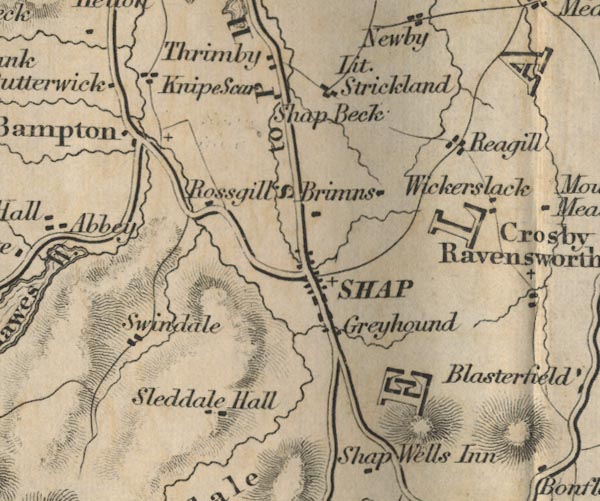
old map:- Ford 1839 map
placename:- Bampton
|
| source data:- |
Map, uncoloured engraving, Map of the Lake District of
Cumberland, Westmoreland and Lancashire, scale about 3.5 miles
to 1 inch, published by Charles Thurnam, Carlisle, and by R
Groombridge, 5 Paternoster Row, London, 3rd edn 1843.
FD02NY51.jpg
"Bampton"
item:- JandMN : 100.1
Image © see bottom of page
|
|
|
| evidence:- |
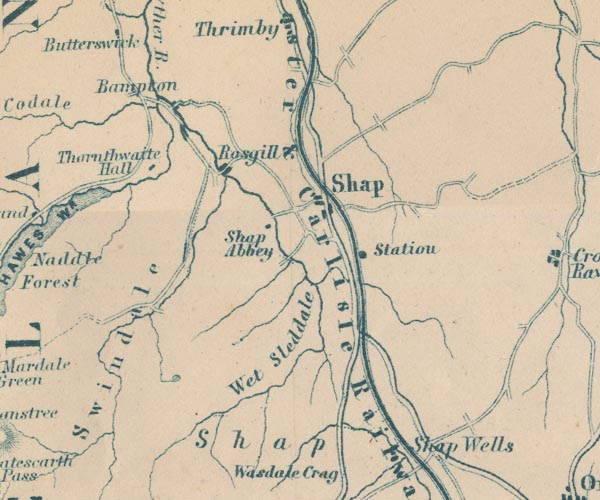
old map:- Garnett 1850s-60s H
placename:- Bampton
|
| source data:- |
Map of the English Lakes, in Cumberland, Westmorland and
Lancashire, scale about 3.5 miles to 1 inch, published by John
Garnett, Windermere, Westmorland, 1850s-60s.
GAR2NY51.jpg
"Bampton"
no symbol
item:- JandMN : 82.1
Image © see bottom of page
|
|
|
| evidence:- |
perhaps market notes:-
placename:- Bampton
item:- market
|
| source data:- |
Palmer's Index No.93:: Public Record Office |
|
|
| evidence:- |
old map:- Post Office 1850s-1900s
placename:- Bampton
|
| source data:- |
Post road maps, General Post Office Circulation Map for England
and Wales, for the General Post Office, London, 1850s-1900s.
 click to enlarge click to enlarge
POF7Cm.jpg
"Bampton"
map date 1909
|
|
|
:-
|
images courtesy of the British Postal Museum and Hampshire CC Museums
|
|
|
|
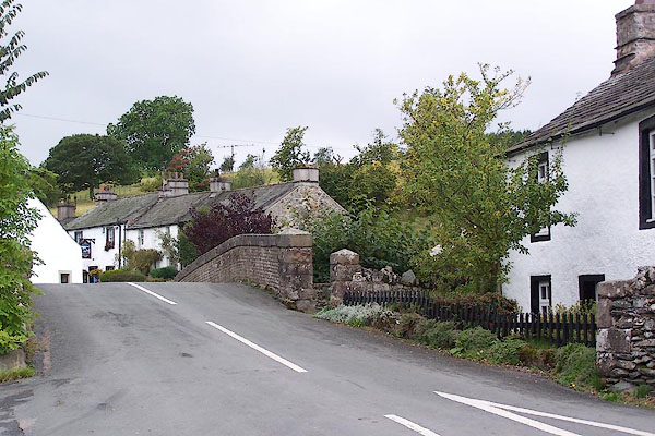
BJW40.jpg (taken 29.9.2005)
|
|
|
| places:- |
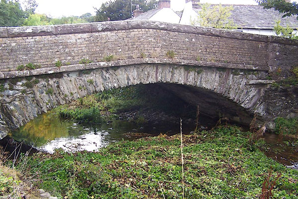 |
NY51491817 Bampton Bridge (Bampton) |
|
|
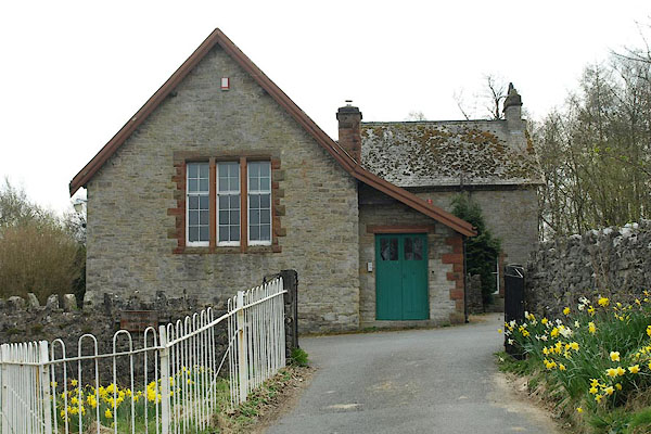 |
NY51541794 Bampton Endowed School (Bampton) |
|
|
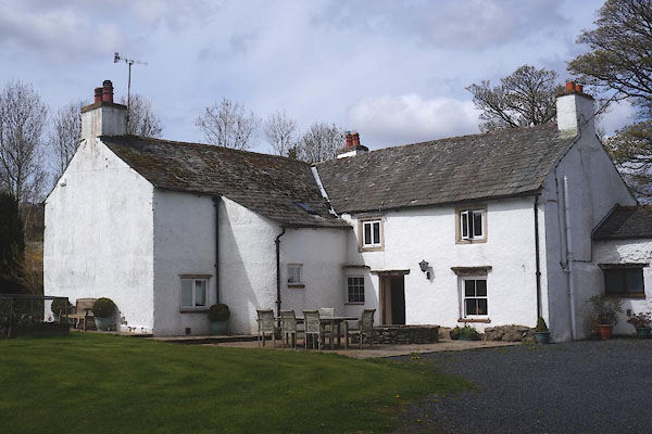 |
NY51511831 Bampton Hall (Bampton) L |
|
|
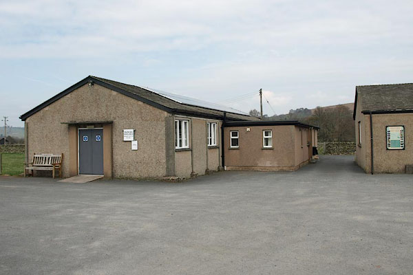 |
NY51681821 Bampton Memorial Hall (Bampton) |
|
|
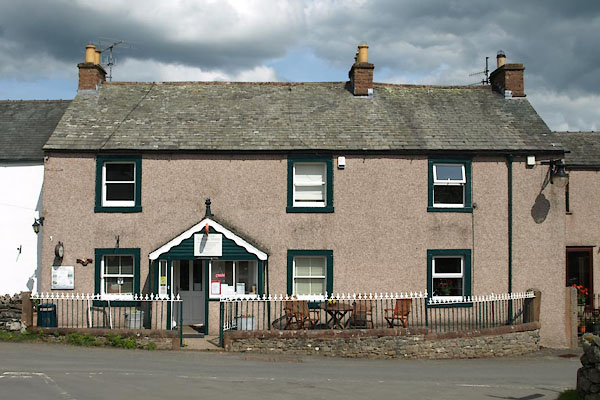 |
NY51511819 Bampton Village Store (Bampton) |
|
|
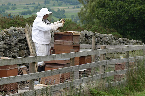 |
NY51191822 beehives, Bampton (Bampton) |
|
|
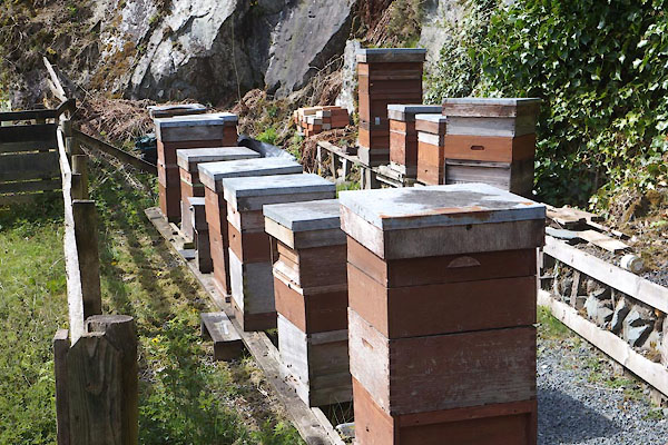 |
NY51361825 beehives, Bampton (2) (Bampton) |
|
|
 |
NY51461811 Bampton Brewery (Bampton) |
|
|
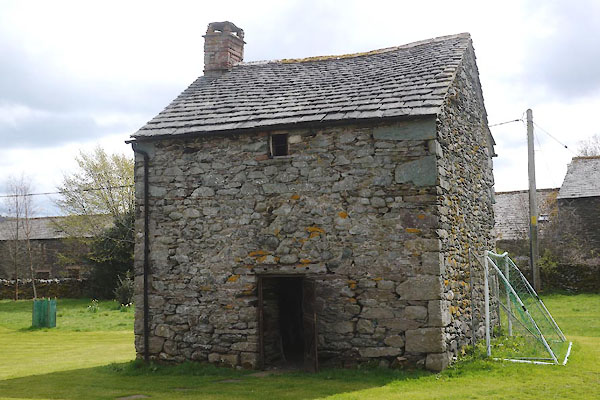 |
NY51531829 dovecote, Bampton Hall (Bampton) L |
|
|
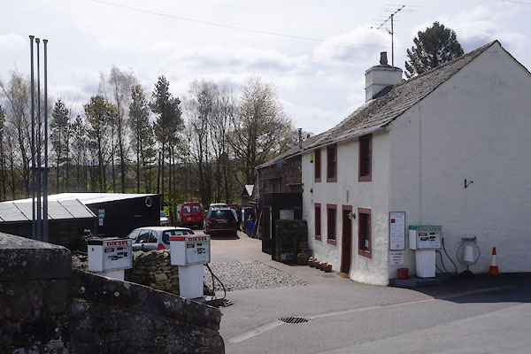 |
NY51481813 garage, Bampton (Bampton) |
|
|
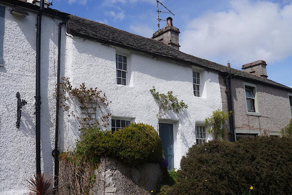 |
NY51451813 house, Bampton (2) (Bampton) |
|
|
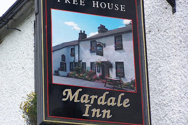 |
NY51461812 Mardale Inn (Bampton) |
|
|
 |
NY51471818 Bampton Mill (Bampton) suggested |
|
|
 |
NY51111822 Millcrags (Bampton) |
|


 click to enlarge


 click to enlarge
 click to enlarge
 goto source
 goto source

 click to enlarge


