Old Cumbria Gazetteer
 |
 |
|
||
| Armathwaite, Hesket | ||||
| Armathwaite | ||||
| civil parish:- | Hesket (formerly Cumberland) | |||
| civil parish:- | Ainstable (formerly Cumberland) | |||
| county:- | Cumbria | |||
| locality type:- | locality | |||
| locality type:- | buildings | |||
| coordinates:- | NY50614611 (etc) | |||
| 1Km square:- | NY5046 | |||
| 10Km square:- | NY54 | |||
|
|
||||
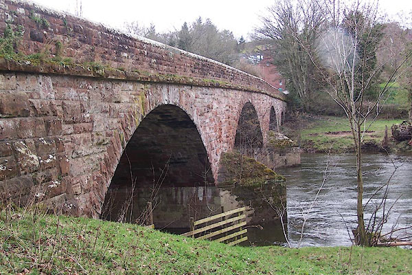
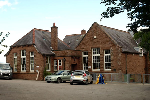
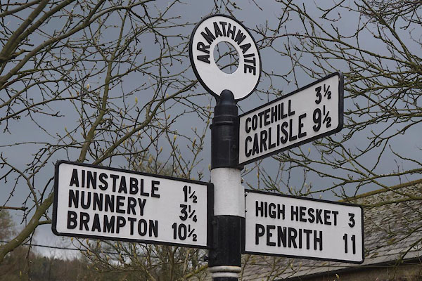
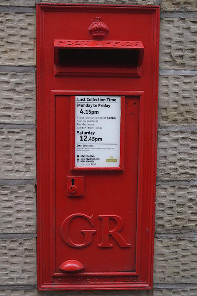
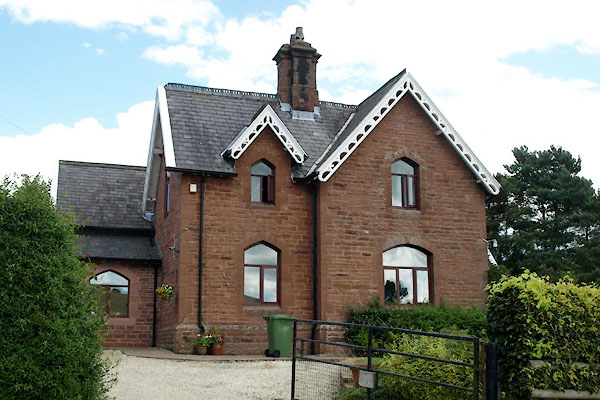
 BSW83.jpg (taken 4.6.2010) |
||||
|
|
||||
| evidence:- | old map:- OS County Series (Cmd 31 12) placename:- Armathwaite |
|||
| source data:- | Maps, County Series maps of Great Britain, scales 6 and 25
inches to 1 mile, published by the Ordnance Survey, Southampton,
Hampshire, from about 1863 to 1948. |
|||
|
|
||||
| evidence:- | old map:- Jenner 1643 placename:- Armanth |
|||
| source data:- | Tables of distances with a maps, Westmerland, scale about 16
miles to 1 inch, and Cumberland, scale about 21 miles to 1 inch,
published by Thomas Jenner, London, 1643; published 1643-80. JEN4Sq.jpg "Armanth" circle |
|||
|
|
||||
| evidence:- | old map:- Sanson 1679 placename:- Armanthwort |
|||
| source data:- | Map, hand coloured engraving, Ancien Royaume de Northumberland
aujourdhuy Provinces de Nort, ie the Ancient Kingdom of
Northumberland or the Northern Provinces, scale about 9.5 miles
to 1 inch, by Nicholas Sanson, Paris, France, 1679. click to enlarge click to enlargeSAN2Cm.jpg "Arm[]anthwort" circle, building and tower, flag; town? item:- Dove Cottage : 2007.38.15 Image © see bottom of page |
|||
|
|
||||
| evidence:- | old text:- Gents Mag |
|||
| source data:- | Magazine, The Gentleman's Magazine or Monthly Intelligencer or
Historical Chronicle, published by Edward Cave under the
pseudonym Sylvanus Urban, and by other publishers, London,
monthly from 1731 to 1922. goto source goto sourceGentleman's Magazine 1816 part 2 p.601 Biographical note from the Compendium of County History:- "Skelton, John, satirical poet, Armathwaite (died 1529)." |
|||
|
|
||||
| evidence:- | descriptive text:- Ford 1839 (3rd edn 1843) placename:- Armathwaite |
|||
| source data:- | Guide book, A Description of Scenery in the Lake District, by
Rev William Ford, published by Charles Thurnam, Carlisle, by W
Edwards, 12 Ave Maria Lane, Charles Tilt, Fleet Street, William
Smith, 113 Fleet Street, London, by Currie and Bowman,
Newcastle, by Bancks and Co, Manchester, by Oliver and Boyd,
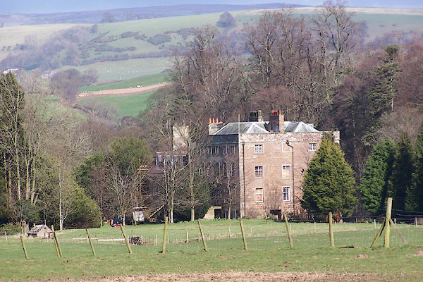
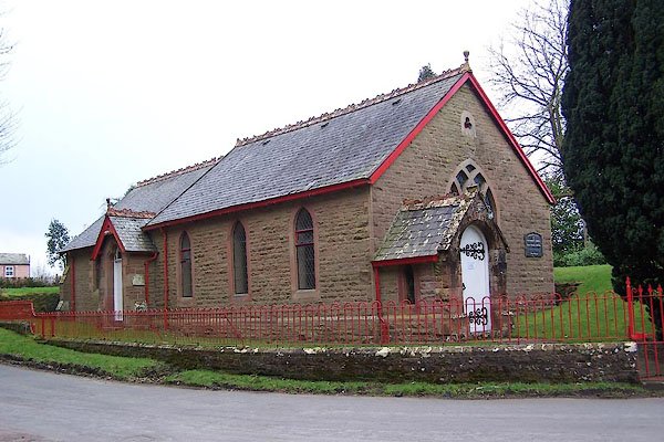
Edinburgh, and by Sinclair, Dumfries, 1839. goto source Page 125:- "..." "ARMATHWAITE" "May also be reached by a direct and better carriage-road leading to it from Wetheral, along the west side of the river Eden. It lies on both sides of the river, which is crossed by a bridge of three bold and graceful arches. The Castle is a plain square tower, standing on the river's bank, fitted up so as to meet the wants and comforts of modern refinement. The chapel of ease is a rude picturesque edifice, in the patronage of the owners of the Castle, and incumbency of the Rev. W. Hudson. On the eastern side is the elegant rural retreat of J. de Whelpdale, Esq., of Bishopyards, Penrith, surrounded by lawns, and protected by some fine plantations. An interesting walk through an avenue of flourishing larches, leads for a mile along the margin of a rapid eddying stream to the salmon leaps, where the Eden pours over a rocky wear (sic), and forming part of the great whinstone dyke, which crosses the island, stretching across its whole breadth. Above, the water forms a deep, still, lake-like scene, rocks shoot up perpendicularly out of it, and the immense masses of the Cooms and Baron Wood cast over it a deep gloomy shade:" "'Awful scenes, that calm the troubled breast, And woo the weary to profound repose.'" |
|||
|
|
||||
| evidence:- | old map:- Ford 1839 map placename:- Armathwaite |
|||
| source data:- | Map, uncoloured engraving, Map of the Lake District of
Cumberland, Westmoreland and Lancashire, scale about 3.5 miles
to 1 inch, published by Charles Thurnam, Carlisle, and by R
Groombridge, 5 Paternoster Row, London, 3rd edn 1843. FD02NY54.jpg "Armathwaite" item:- JandMN : 100.1 Image © see bottom of page |
|||
|
|
||||
| evidence:- | old map:- Garnett 1850s-60s H placename:- Armathwaite |
|||
| source data:- | Map of the English Lakes, in Cumberland, Westmorland and
Lancashire, scale about 3.5 miles to 1 inch, published by John
Garnett, Windermere, Westmorland, 1850s-60s. GAR2NY54.jpg "Armathwaite" blocks, settlement item:- JandMN : 82.1 Image © see bottom of page |
|||
|
|
||||
| evidence:- | old map:- Post Office 1850s-1900s placename:- Armathwaite |
|||
| source data:- | Post road maps, General Post Office Circulation Map for England
and Wales, for the General Post Office, London, 1850s-1900s. click to enlarge click to enlargePOF7Cm.jpg "Armathwaite" map date 1909 |
|||
|
|
||||
| evidence:- | old map:- Post Office 1850s-1900s placename:- Armathwaite |
|||
| source data:- | Post road maps, General Post Office Circulation Map for England
and Wales, for the General Post Office, London, 1850s-1900s. click to enlarge click to enlargePF10Cm.jpg "Armathwaite" map date 1892 |
|||
|
|
||||
| evidence:- | old map:- Post Office 1850s-1900s placename:- Armathwaite |
|||
| source data:- | Post road maps, General Post Office Circulation Map for England
and Wales, for the General Post Office, London, 1850s-1900s. click to enlarge click to enlargePOF2Cm.jpg "Armathwaite" map date 1890 |
|||
|
|
||||
| evidence:- | old map:- Post Office 1850s-1900s placename:- Armathwaite |
|||
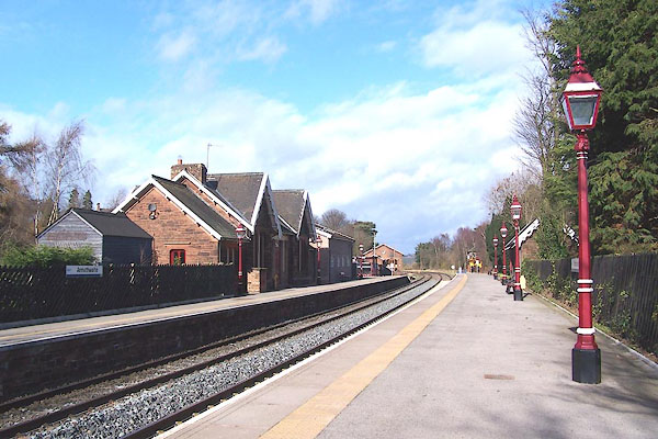
| source data:- | Post road maps, General Post Office Circulation Map for England
and Wales, for the General Post Office, London, 1850s-1900s.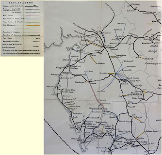 click to enlarge click to enlargePOF8Cm.jpg "Armathwaite / Stn." map date 1873 |
|||
|
|
||||
| :- |
images courtesy of the British Postal Museum and Hampshire CC Museums |
|||
|
|
||||
| hearsay:- |
Village cottages were supplied with electricity from a hydroelectric scheme, in a
converted water mill by the weir, from the 1930s. The plant was a bit temperamental;
in times of flood the village children were sent to the weir to clear debris from
the generator intake. |
|||
|
|
||||
| places:- |
|
|||
|
||||
|
||||
|
||||
|
||||
|
||||
|
||||
|
||||
|
||||
|
||||
|
||||
|
||||
|
||||
|
||||
|
||||
|
||||
|
||||
|
||||
|
||||
|
||||
|
||||
|
||||
|
||||
|
||||
|
||||
|
||||
|
||||
|
||||
|
||||
|
||||
Lakes Guides menu.