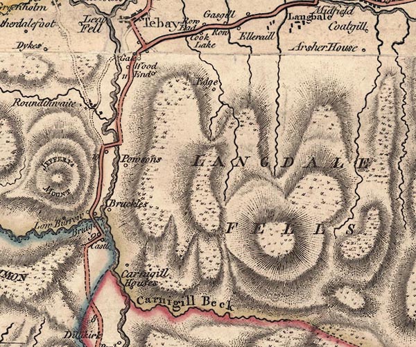
 Jefferys 1770 NY60SW

|

|
|
|
gazetteer links places may or may not be labelled on the map |
||

|
-- Borrow Beck |
|
|
|
-- Brockholes -- "Bruckles" |
|
|
|
-- Carlingill Beck -- "Carnigill Beck" |
|
|
|
-- Cocklake -- "Cook Lake" |
|
|
|
-- Edge -- "Edge" |
|
|
|
-- Gale -- "Gale" |
|
|
|
-- High Carlingill -- "Carnigill Houses" |
|
|
|
-- High Woodend -- "Wood End" |
|
|
|
-- Howgill Fells-- Howgill Fells -- "HOUGILL FELLS" |
|
|
|
-- Langdale Fell -- "LANGDALE FELLS" |
|
|
|
-- Low Borrow Bridge -- "Low Burrow Bridge" |
|
|
|
-- Low Borrowbridge -- "Low Burrow Bridge" |
|
|
|
-- Low Carlingill -- "Carnigill Houses" |
|
|
|
-- Lune, River -- "Lune River" |
|
|
|
-- Lune's Bridge |
|
|
|
-- Powsons -- "Powsons" |
|
|
|
-- Kendal to Tebay |
|
|
|
-- roman fort, Low Borrow Bridge -- "Castle" |
|
|
|
-- Roundthwaite Beck |
|
|
|
-- Roundthwaite -- "Roundthwaite" |
|
|
civil parishes The area roughly includes parts of parishes:- Tebay Grayrigg Orton S |
||
|
|
||
|
|
Lakes Guides menu. | |