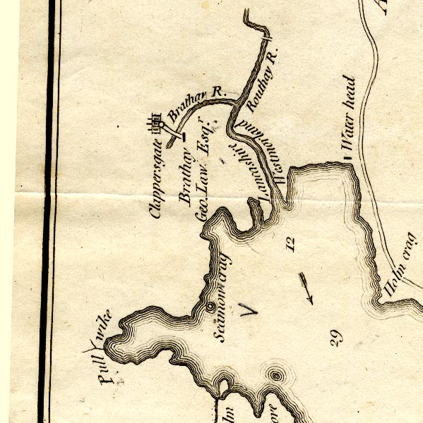
 Crosthwaite 1783-94, tetrad NY30R

|

|
|
|
gazetteer links places may or may not be labelled on the map |
||

|
-- Brathay Bridge |
|
|
|
-- Brathay, River -- "Brathay R." |
|
|
|
-- Clappersgate -- "Clappersgate" |
|
|
|
-- Holme Crag -- "Holm crag" |
|
|
|
-- Lancashire, North of the Sands -- "Lancashire" --
"Lancashire" |
|
|
|
-- Old Brathay -- "Brathay / Geo. Law Esqr." |
|
|
|
-- Pull Wyke -- "Pull wike" |
|
|
|
-- Windermere to Ambleside -- "To Low-wood and
Ambleside" -- "to Troutbeck" -- "to
Troutbeck" -- "to Kendal" -- "to Kendal"
-- "to Cartmel" |
|
|
|
-- Rothay, River -- "Routhay R." -- "Lancashire /
Westmorland" |
|
|
|
-- Seamew Crag -- "Seamow crag" |
|
|
|
-- Waterhead -- "Water head" |
|
|
|
-- Westmorland -- "Westmorland" --
"Westmorland" |
|
|
civil parishes The area roughly includes parts of parishes:- Lakes Skelwith |
||
|
|
||
|
|
Lakes Guides menu. | |