


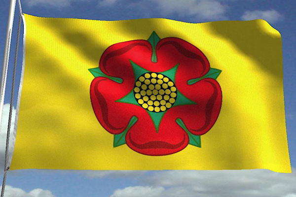
CCR45.jpg New flag
courtesy of Jason Saber.
placename:- Lancashire
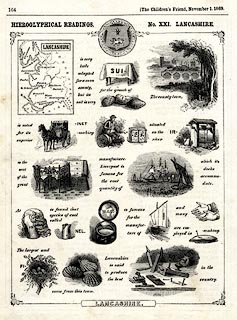
item:- rebus
 click to enlarge
M077.jpg
"HIEROGLYPHICAL READINGS. No.XXI. LANCASHIRE."
item:- JandMN : 422
Image © see bottom of page
placename:- Lancastria
"Lancastria"
placename:- Eboracensis Pars
 click to enlarge
KER8.jpg
"Eboracensis Pars"
item:- Dove Cottage : 2007.38.110
Image © see bottom of page
placename:- Lancashire
 click to enlarge
SPD6Cm.jpg
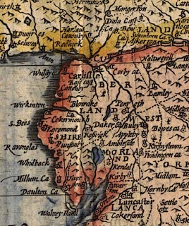
"LANCASHIRE"
county
item:- private collection : 85
Image © see bottom of page
placename:- Lancashire
item:- placename, Lancashire
 goto source
page 129, Lancashire:- "The seaven and twentieth Song."
"THE ARGUMENT."
"The circuit of this Shire exprest,
Erwell, and Ribble then contest;
The Muse next to the Mosses flies,
And to fayre Wyre her selfe applies,
The Fishy Lun then doth shee bring,
The praise of Lancashire to sing,
The Isle of Man maintains her plea,
Then falling Eastward from that Sea,
On rugged Furnesse, and his Fells,
Of which this Canto lastly tells."
"... ..."
 goto source
page 162:- "...
... Lun ...
... christning in her Course a Countie Palatine,
For Luncaster so nam'd; the Fort upon the Lun,
And Lancashire the name from Lancaster begun:
..."
placename:- Lancashire
 click to enlarge
SIM522.jpg
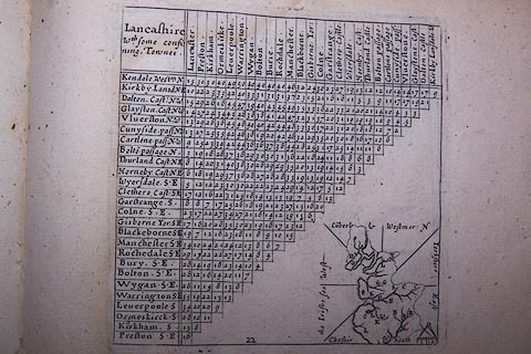
"Lancashire / Wth. some confi / ning Townes"
in title cartouche; adjacent counties given on thumbnail map "the Irishe sea West / Cu~berl &Westmor: N / Yorkshire East / Cheshir South"
item:- private collection : 50.22
Image © see bottom of page
placename:- Lancashire
 click to enlarge
SAN2Cm.jpg
"LANCASHIRE"
county; included in the 'Royaume de Northumberland'
item:- Dove Cottage : 2007.38.15
Image © see bottom of page
placename:- County Palatine of Lancaster
item:- population, Lancashire
The Bowen and Kitchin map of Lancashire has descriptive text:- "The County Palatine of LANCASTER is 170 miles in Circumference being about 57 in length & 31 in Breadth is divided into 6 Hundreds in which are contained 115000 Acres of Land 27 Market Towns whereof 5 send Members to Parlt. 61 Parishes besides many Chapels of ease 40200 Houses & upwards of 240000 Inhabitants. The Air is serene & healthful. The Moorish Parts are not fertile but theCountry is genrally well stored with Provisions also Coals Flax Corn & Cattle (especially Oxen said to be the finest in England) Fowl Fish particularly Charr Pit Coal which is of so hard a texture that of it are made several Utensils well polished & but little inferr. to Jett The chief Manufactures are Woollen Cloths Cottons &Ticken."
placename:- Lancashire
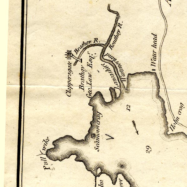
CT9NY30R.jpg
"Lancashire"
labelled on east side of the River Rothay
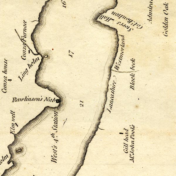
CT9SD39W.jpg
"Lancashire"
labelled on south side of Black Beck
item:- Armitt Library : 2008.14.102
Image © see bottom of page
placename:- Lancashire
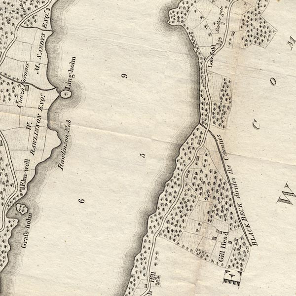
CLBSD39W.jpg
"BLACK BECK divides the Counties"
item:- private collection : 10.11
Image © see bottom of page
placename:- Lancashire
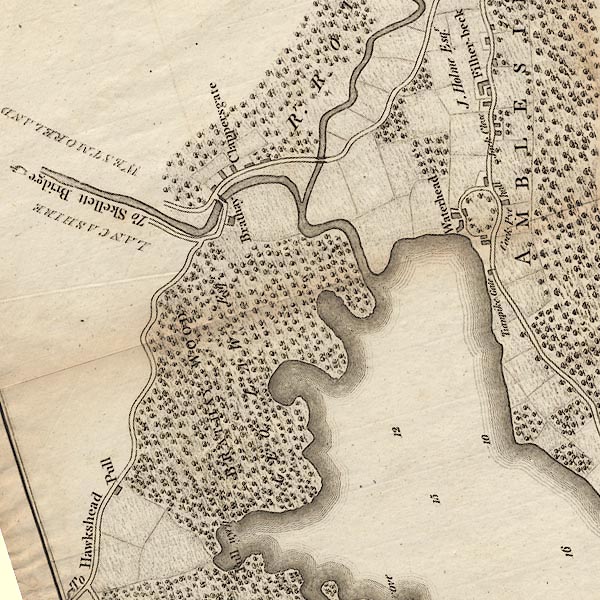
CLANY30R.jpg
"LANCASHIRE"
South of the River Brathay.
item:- private collection : 10.10
Image © see bottom of page
placename:- Lancashire
placename:- Loncasterscyre
placename:- Lonkashire
placename:- Lankashire
placename:- County Palatine of Lancaster
 goto source
Page 127:- "LANCASHIRE."
"I must now direct my progress to another quarter, to the remaining BRIGANTES who settled on the other side of the Mountains towards the western ocean, and first to those of Lancashire, whom I feel some secret reluctance to visit, if they will forgive me the expression. I fear I shall give little satisfaction to myself or my readers here, so little encouragement did I meet with when I surveyed much the greater part of this county, so completely has Time destroyed the original names everywhere. But, that I may not seem to neglect Lancashire, I must attempt the task, not doubting but Providence, which has hitherto favoured me will assist me here."
"The county of Lancaster, called by the Saxons [Loncasterscyre - Anglo Saxon], vulgarly Lonka-shire, Lankashire, and the County Palatine of Lancaster, it being dignified with the honour of a County Palatine, lies to the west under the hills, which, as I have frequently before observed, run through the middle of England, and divide the counties as arbiters between them respectively. It is so confined by Yorkshire on the east, and the Irish sea on the west, that on the south, towards Cheshire, it spreads to a greater breadth, and then gradually narrows again to the north, where it borders on Westmorland. It is there broken in upon by a bay of the sea, and no small part of it lies on the other side of that bay adjoining to Cumberland."
"... ..."
 goto source
Page 134:- "LANCASHIRE is in length from north to south 80 miles, in breadth from east to west 32, and in circumference above 200, contains 1,150,000 acres, 40,000 houses, 240,000 inhabitants, 6 hundreds, 7 market towns, and but 36 parishes, as Mr. Camden, which is as few or fewer than Rutland, or the little Welsh counties, but these parishes are large and populous, and contain each several chapels. Mr. Pennant says, in an excellent survey made in the beginning of James I. there were 60 parishes. At the Domesday survey this county was included in Cheshire and Yorkshire. Leland says Lancastreshire conteineth five litle shires. It was made a county palatine by Edward III. in favour of his fourth son John of Gaunt, duke of Lancaster, and has a court sitting in the dutchy chamber of Lancaster at Westminster, where a chancellor takes cognizance of all causes concerning its revenue, and a court of chancery. The lower part of the county is wet and unfavourable to sheep, but the hills breed very fine ones."
"... ..."
placename:- Lancashire
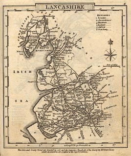 click to enlarge
GRA1La.jpg
"LANCASHIRE"
map title
item:- Hampshire Museums : FA2000.62.6
Image © see bottom of page
item:- boundary; county boundary; geology
 goto source
Page 1:- "DESCRIPTION OF THE ENGLISH LAKES AND ADJACENT MOUNTAINS."
"THE LAKES."
"THE Mountainous District, in which the English Lakes are situated, extends into three Counties, Cumberland, Westmorland, and Lancashire, which form their junction at a point upon the mountain Wrynose, near the road side. Lancashire is separated from Cumberland by the river Duddon; from Westmorland by the stream running through Little Langdale, and by Elterwater and Windermere, until south of Storrs Hall; after which the river Winster forms the boundary till it enters the sands near Medup; ..."
 goto source
"... The road entering Lancashire at Brathay, or at Skelwith Bridge, leaves it again at Colwith Bridge; ..."
 goto source
"... Near the road on Wrynose are the three shire stones of Cumberland, Westmorland, and Lancashire."
"..."
 goto source
Page 149:- "THE GEOLOGY OF THE LAKE DISTRICT."
"AT the time this essay was first published, the structure of the mountainous district of Cumberland, Westmorland, and Lancashire, was but little understood; scientific travellers had contented themselves with procuring specimens of the different rocks, without taking time to become acquainted with their relative position. Since then, the subject has received more attention from persons conversant with geological inquiries; especially from the distinguished Professor Sedgwick. ..."
placename:- Lancashire
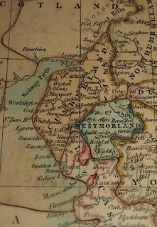 click to enlarge
BXX11.jpg
Map, hand coloured engraving, wood jigsaw puzzle, England, scale about 26 miles to 1 inch, by Gall and Inglis, Bernard Terrace, Edinburgh, and 25 Paternoster Square, London, cut by E J Peacock, King's Cross, London, 1850s?
printed on box lid:- "A / DISSECTED / MAP / OF / ENGLAND / Manufactured by E. J. PEACOCK, 10 Upper [W house] Street, King's Cross."
printed on jigsaw "LANCASHIRE"
item:- JandMN : JIG388
Image © see bottom of page
MSN1P031.txt
Page 31:- "..."
"FURNESS is a bit of Lancashire entirely separated from the rest of the county by the waters of Morecambe Bay. The little Winster stream alone divides it from Westmoreland, and the Duddon from Cumberland; but nowhere does it touch the shire of which it forms a part."
BQS79.jpg (taken 5.6.2009)
 Cumbria